Search
Accelerate Subsidy and Compliance Workflows
Comprehensive satellite data and tools to help ensure agricultural policy and program success.
Detect field-level changes and process large datasets at scale with Planet Area Monitoring Service. Knowing when and where specific events occurred saves time and money on site visits and streamlines producer support programs.
Streamlined Compliance
Enhance your agricultural compliance workflows with Planet Area Monitoring Service. Rapidly process large volumes of data and verify farmer declarations in seconds, streamlining program administration.
Field-Level Insights
Detect specific events like harvesting and mowing on any field with Analysis-Ready PlanetScope (ARPS). ARPS is optimized for temporal analysis and ensures detailed measurements for changes over a long period within an area of interest.
Program Monitoring and Evaluation
Monitor conservation programs with near-daily 3.7 m resolution satellite data. See changes to crop health and assess the impact of conservation practices across your region, including cover cropping, buffer strips, rotational grazing, and no-till.
Irrigation Water Usage
Quantify agricultural water use over broad areas with near-daily soil water content measurements at 1 km and 20 m resolution. Use a comprehensive picture of water demand and consumption throughout the season to reduce reliance on field visits and in situ sensors.

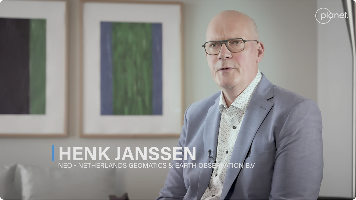
By combining our skills with Planet we are able to really prepare for the future and scale up our competences.
Henk Janssen
Project Manager/Consultant Earth Observation and Geomatics at NEO, Netherlands Geomatics & Earth Observation B.V.
Featured Customers and Partners


Easy Access to Environmental Insights with Data in One Platform


How Planet Insights Platform Transformed RPA’s Data Landscape
Download Case Study

Resolving Inconclusive Parcels in Slovenia
Download Case Study
Using Planet to Implement Satellite-Based Area Monitoring Systems in Europe
Download Case Study

Cost-Effective Insights to Streamline Environmental Impact Analysis
Download Case Study
Planet Insights Platform made it easy for us to access the data, batch process, create and apply models at a national scale and pace.

Yajnaseni Palchoudhuri, Ph.D
Earth Observation Specialist, UK Rural Payments Agency
Example Use Cases
Agriculture Compliance Monitoring
Verifying Crop Losses and Mitigating Inflated Claims
Cannabis Compliance and Enforcement
Monitoring Agricultural Productivity
Land Titling and Distribution

Find out more
Download Our E-book: Planet Data for Sustainable Ag Science
Download Agricultural Compliance E-bookNeed More Help?
Connect with a member of our Sales team. We'll help you find the right products for your needs
© 2025 Planet Labs PBC. All rights reserved.
| Privacy Policy | California Privacy Notice |California Do Not Sell
Your Privacy Choices | Cookie Notice | Terms of Use | Sitemap
