Search
Monitor Detailed Changes, From Ponds to Coastlines
Expand visibility and track rapid changes with our 3.7 m resolution, 8-band near-daily satellite data.
Planet near-daily data helps governments manage water resources by enhancing public satellite data and in situ monitoring.
Rapid Response
Identify the location and extent of rapid changes to water quality and availability with near-daily 3.7 m resolution satellite data. Use frequent data to locate and manage dynamic events like algal blooms, oil spills, flash droughts, coastal erosion, flooding, and landslides.
Precision Insights
Get detailed insights with 8 spectral bands. Planet 8-band, medium-resolution data unlocks new opportunities for water quality monitoring. Combine bands to measure quality indicators, highlight spectral signatures, and analyze specific characteristics of bodies of water.
Historical Depth
Fill data gaps using our archive of near-daily imagery dating back to 2017. Leverage the vast Planet Archive to understand long-term trends and advance scientific research, while also monitoring the impact of water use policies and infrastructure investments.
Scalable Access
Expand user access to satellite-derived water resource data with our flexible, cloud-based platform. Save time and money by simplifying data processing and distribution.

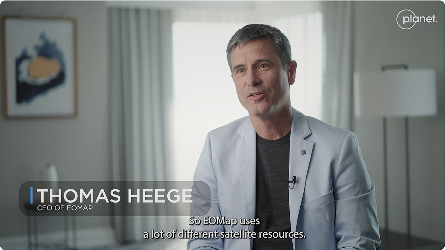
Planet satellite data gave us the best temporal and spatial resolution that we need in order to really measure on all scales — large as well as small waters — what is changing and what is happening.
Thomas Heege
CEO of EOMAP
Featured Customers and Partners


Improving Hurricane Preparedness with Living Maps


Monitoring Harmful Algal Blooms From Space with EOMAP & Planet
Download Case Study

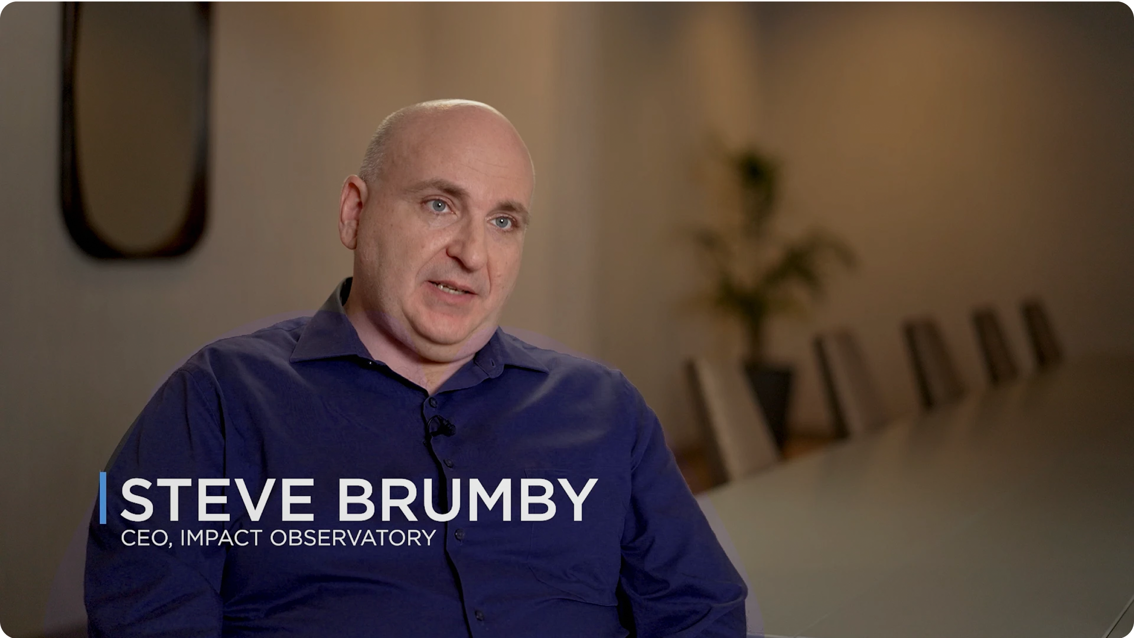
How Map Impact Changed the Water Pollution Narrative
Download Case Study
Because Planet is high resolution and has daily images, we can detect minor differences in the water surface area. We’re integrating Planet with LiDAR to combine surface area and storage capacity, which tells us about the changes in the volume of the water in storage.

Mustak Shaikh
Principal for Remote Sensing
New South Wales Department of Planning, Industry, and Environment

Planet data allowed us to get to a higher level of detail than public data sets, so we could examine smaller water bodies. The granular data from Planet was far superior to what we were previously using. It filled in the blanks and gave us a richer dataset to look at chlorophyll and measure algae growth.

Rich Flemmings
CEO of Map Impact
Example Use Cases
Water Quality Monitoring
Monitoring Dam Removal and River Ecosystems
Wetlands Management And Restoration
Algal Bloom Monitoring
Shoreline Monitoring
Satellite-Derived Bathymetry
Monitoring Agricultural Water Use
Seagrass Mapping and Monitoring
Surface Water Estimation
Measuring Streamflow and Water Velocity
Monitoring Coral Reefs

Find out more
Download Our E-book: Transforming Water Resource Management with Planet
Download Water Management E-bookNeed More Help?
Connect with a member of our Sales team. We'll help you find the right products and pricing for your needs
© 2025 Planet Labs PBC. All rights reserved.
| Privacy Policy | California Privacy Notice |California Do Not Sell
Your Privacy Choices | Cookie Notice | Terms of Use | Sitemap
