Seamless ArcGIS Integration
Planet daily satellite imagery is accessible directly inside ArcGIS, empowering flexible problem-solving and expanded imagery access
POWERFUL INTEGRATION PATHWAYS
How Planet integrates with ArcGIS
With flexible integration options, Planet makes it easy for you to unlock the value of daily satellite imagery in your GIS

Tile Services
Seamlessly stream OGC web services directly from Planet into your GIS applications.

ArcGIS Pro Add-In
Simply search, access, and analyze the Planet catalog of daily, global imagery directly from ArcGIS Pro.

API-First Platform
Build custom integrations and data pipelines to power any Earth observation solution built on ArcGIS.
SEE OUR ARCGIS INTEGRATIONS IN ACTION
Transform your GIS workflow
Don’t miss key insights and details with out-of-date maps. Planet near-daily imagery and analysis-ready datasets capture changes that are vital to solving the challenges GIS professionals face.
ARCGIS PRO DEMO
Land use classification
Analyze PlanetScope daily imagery with ArcGIS Pro raster analysis tools to create automated land cover classification and change detection maps.
PLANETARY VARIABLES DEMO
Assess wildfire risk
Learn about unique Planetary Variables that are helping GIS organizations monitor wildfire threats and hazard exposure over broad areas and see them in ArcGIS Online.
IMAGERY STREAMING DEMO
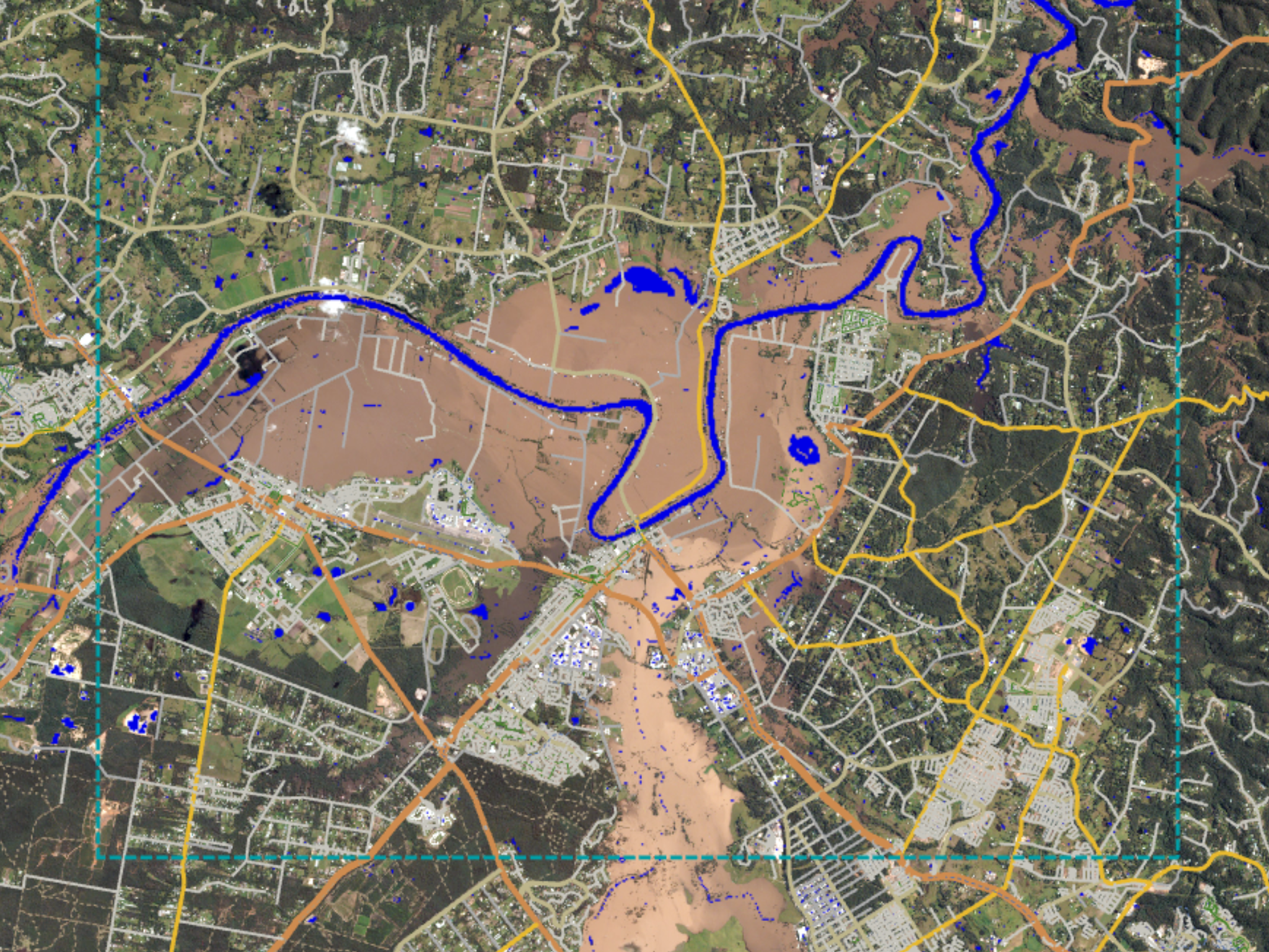
Manage new building permits in flood-prone areas
Stream Planet data into ArcGIS Online, without ever downloading data, to scale compliance and permit enforcement activities amid growing environmental threats like floods.
SPECTRAL ANALYSIS DEMO
Detect and monitor harmful algal blooms
See how PlanetScope data, with 8 spectral bands, enables you to monitor water quality and algal blooms with ArcGIS Pro raster analysis tools.
StoryMaps
Check out the ArcGIS Online apps to see our imagery in action
Get in Touch
Interested in learning more? Reach out to your account executive or contact our team below.
© 2025 Planet Labs PBC. All rights reserved.
| Privacy Policy | California Privacy Notice |California Do Not Sell
Your Privacy Choices | Cookie Notice | Terms of Use | Sitemap
