Search
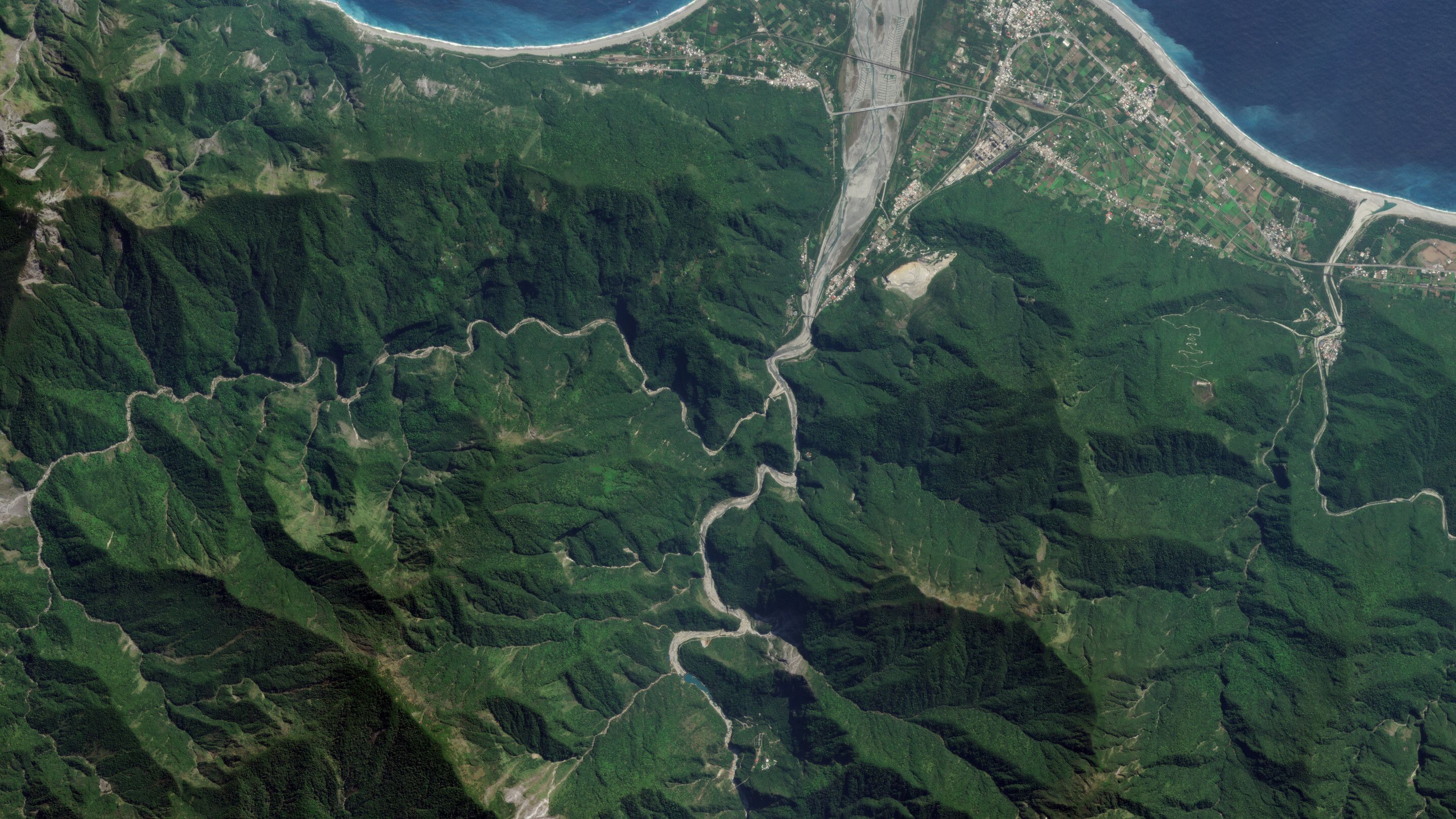
Broad Area Management for Civil Government
Detect Environmental and Land Use Changes Across Vast and Remote Areas
Identify change in disaster-prone regions and active response areas with Planet high-frequency monitoring, high-resolution imagery, and analysis-ready data.
Featured use cases
Support natural resource management, policies, and permitting across any area of interest on Earth.
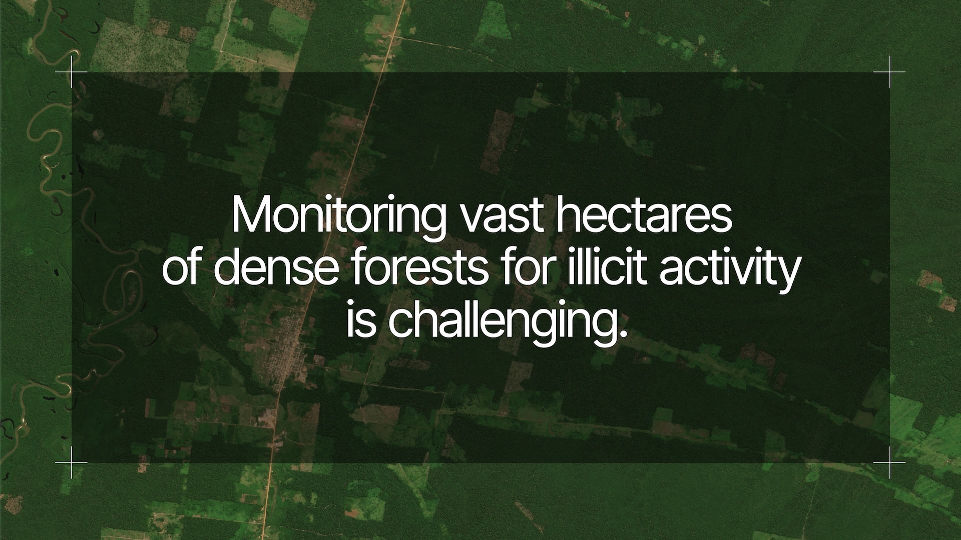
DEFORESTATION MONITORING
Identify early indicators of illegal activity with real-time actionable data and change detection
- Detect change to forest cover or road construction
- Quantify trends like clearing size and log landings
- Measure changes like aboveground carbon density
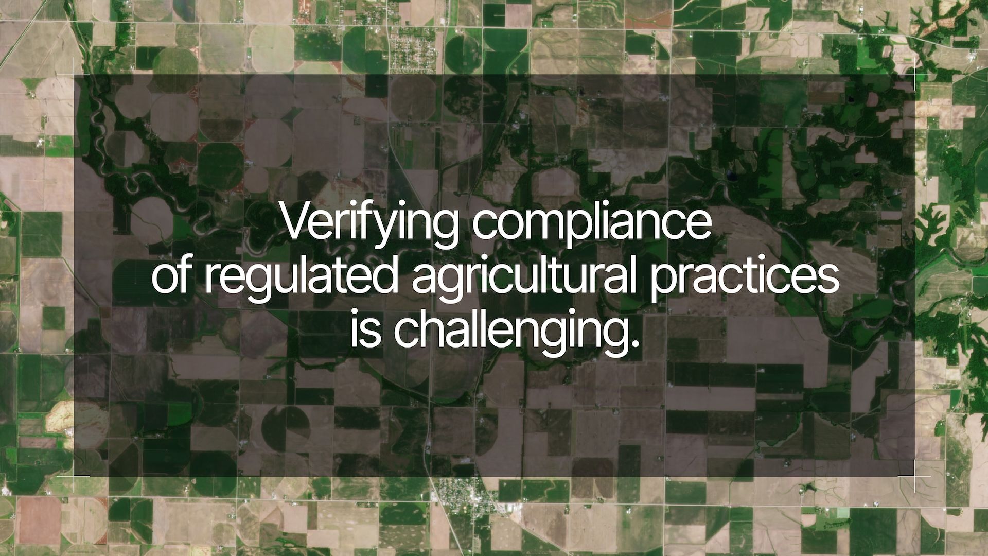
AGRICULTURAL COMPLIANCE
Accurately verify parcel-level compliance at scale with daily monitoring, derived data, and analytics
- Quantify change within field boundaries
- Identify events like mowing and plowing
- Measure soil water content and crop biomass
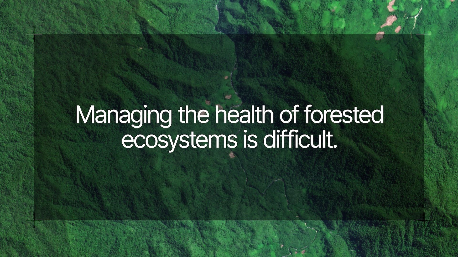
FOREST HEALTH MONITORING
Rapidly identify threats like vegetative fuel loads with high-frequency, hi-res data, and scientific measurements
- Detect damage to forest inventory
- Monitor pests, disease, and land degradation
- Measure land surface temperature and forest cover
Planet customers unlock critical insights with broad area management


Capabilities
Integrate Planet data and tools to accelerate decision making and optimize budgets

LOOK BROADER
Monitor vast landscapes with daily satellite imagery

LOOK BACK
Identify change with a living archive and AI-powered alerts

LOOK CLOSER
Gain a more detailed view with high-resolution, rapid revisit tasking

LOOK DEEPER
Measure conditions beyond the visible spectrum with analysis-ready data
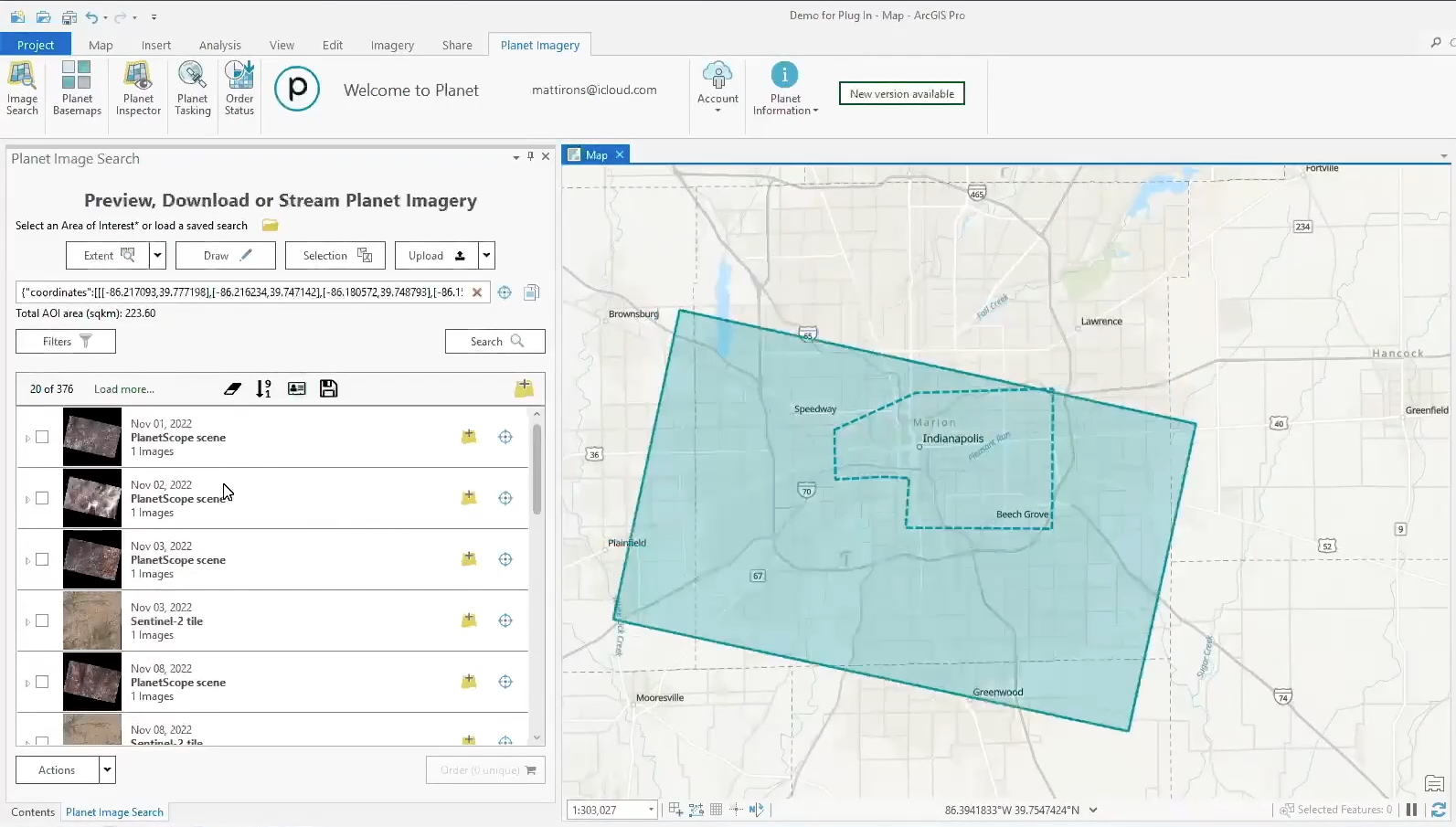
Seamless ArcGIS integration
With flexible integration options, Planet makes it easy to unlock the value of daily satellite imagery in your GIS
- FEATURES
- Tile Services
- ArcGIS Pro Add-In
- API-First Platform
Learn More about the Products that Support Planet Broad Area Management
Download our Buyer’s Guide for Civil Government
© 2025 Planet Labs PBC. All rights reserved.
| Privacy Policy | California Privacy Notice |California Do Not Sell
Your Privacy Choices | Cookie Notice | Terms of Use | Sitemap
