Planet Solutions for Disaster Management
Planet wide area monitoring and analytics deliver cost-effective, timely coverage to enhance disaster preparedness and recovery efforts around the globe
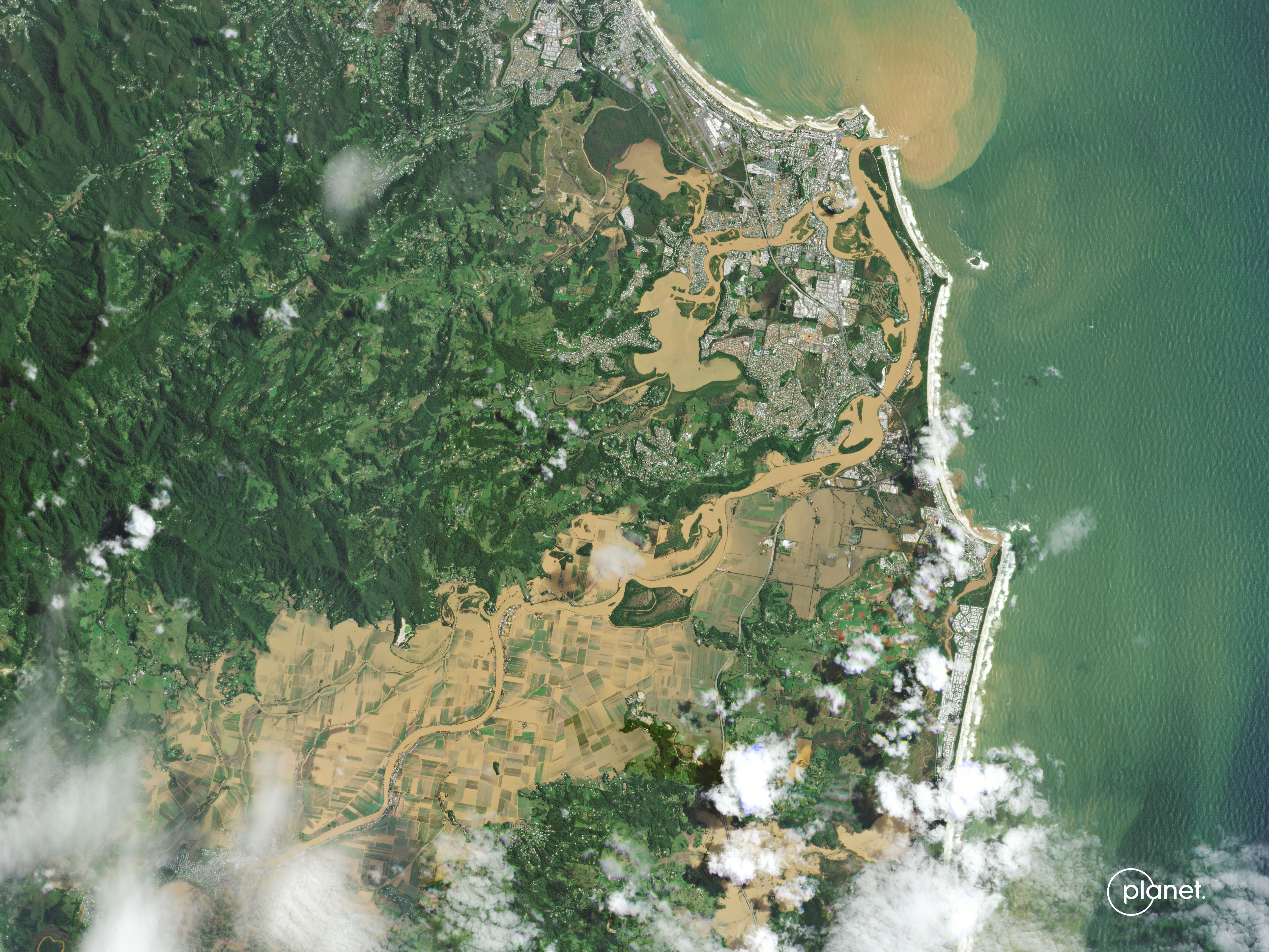
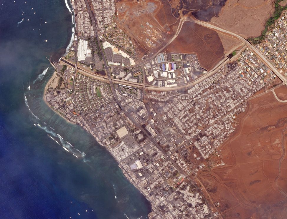
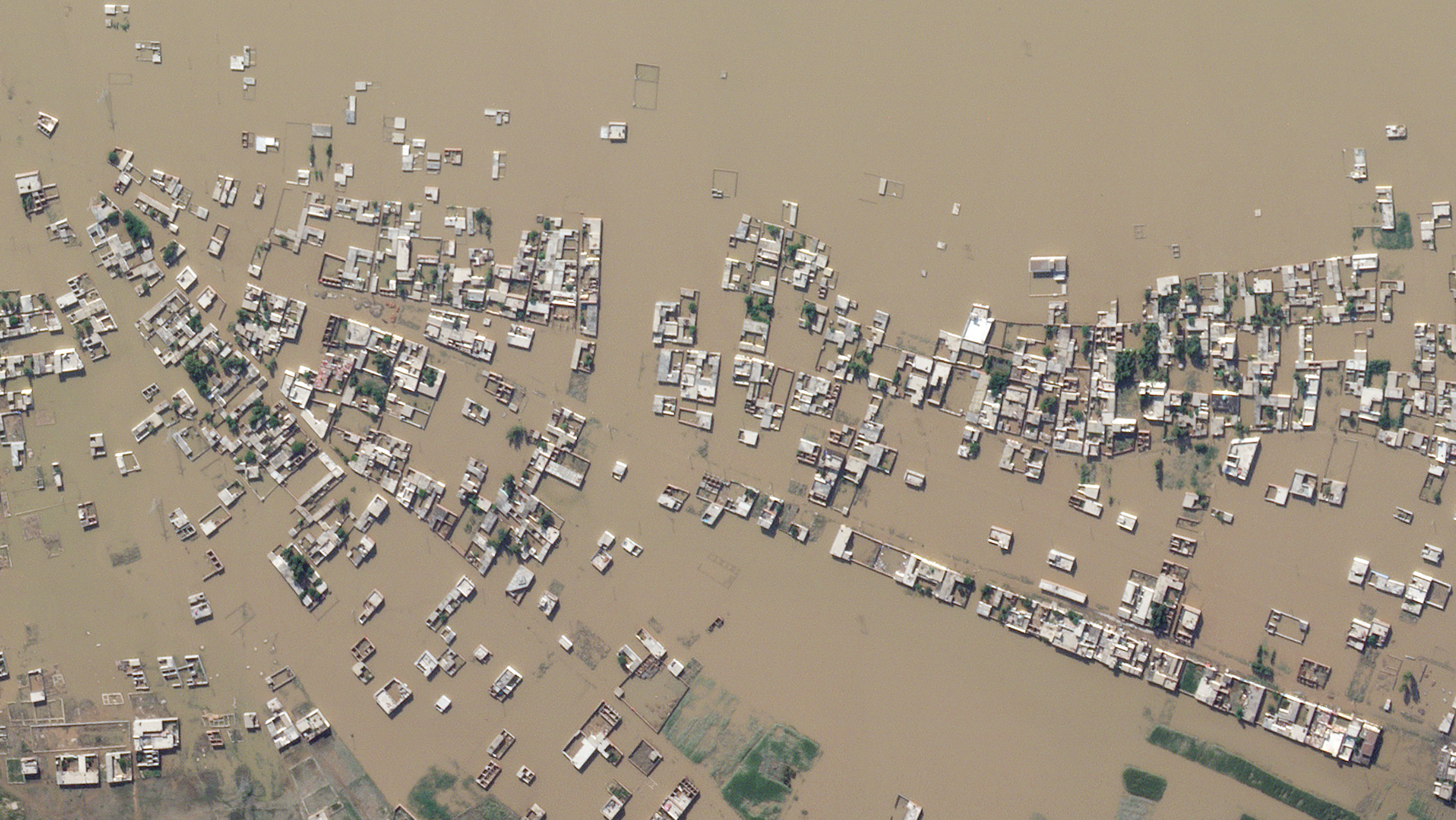
DROUGHT. WILDFIRES. HURRICANES. FLOODS.
We’re in an age of rapid and dramatic changes to our communities and environment
Planet provides land and coastal monitoring, delivering geospatial insights at the speed of change to help mitigate risk, reduce loss of life and property, and minimize the cost of disasters.
TIMELY, ACTIONABLE DATA OVER VAST INACCESSIBLE AREAS
From long-term monitoring to critical event recovery
Reduce costs and improve operational efficiency across the disaster management lifecycle. Planet offers the most powerful combination of frequency, resolution, and reliability.

Mitigate
Identify high-risk areas and assess vulnerability with near-real-time monitoring and a living archive

Prepare
Reveal unknown or changing risk over disaster-prone areas with automated change detection

Recover
Rapidly assess damage and rebuilding efforts with remote monitoring and on-the-ground field alerts
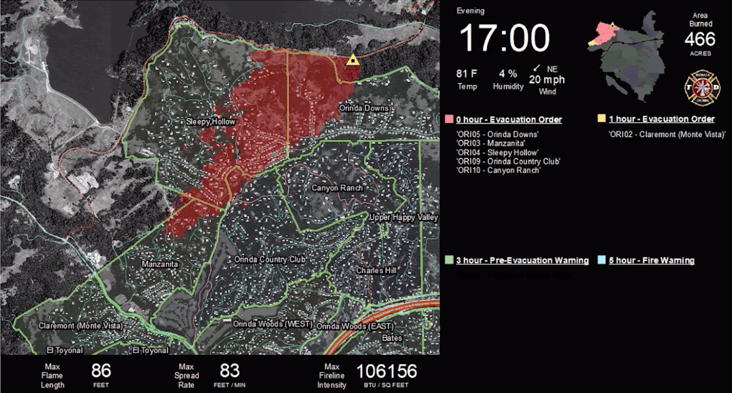
Accurate, reliable, and timely information allows for the population of decision support tools to aid overwhelmed first responders as they make difficult decisions.

Dave Winnacker
Fire Chief, Moraga Orinda Fire District (MOFD)
LEARN MORE
Scalable solutions for every disaster scenario
Learn how Planet can help maximize your emergency management, disaster preparedness, and recovery initiatives.
Get in Touch
Interested in learning more? Reach out to your account executive or contact our team below.
© 2025 Planet Labs PBC. All rights reserved.
| Privacy Policy | California Privacy Notice |California Do Not Sell
Your Privacy Choices | Cookie Notice | Terms of Use | Sitemap

