Search
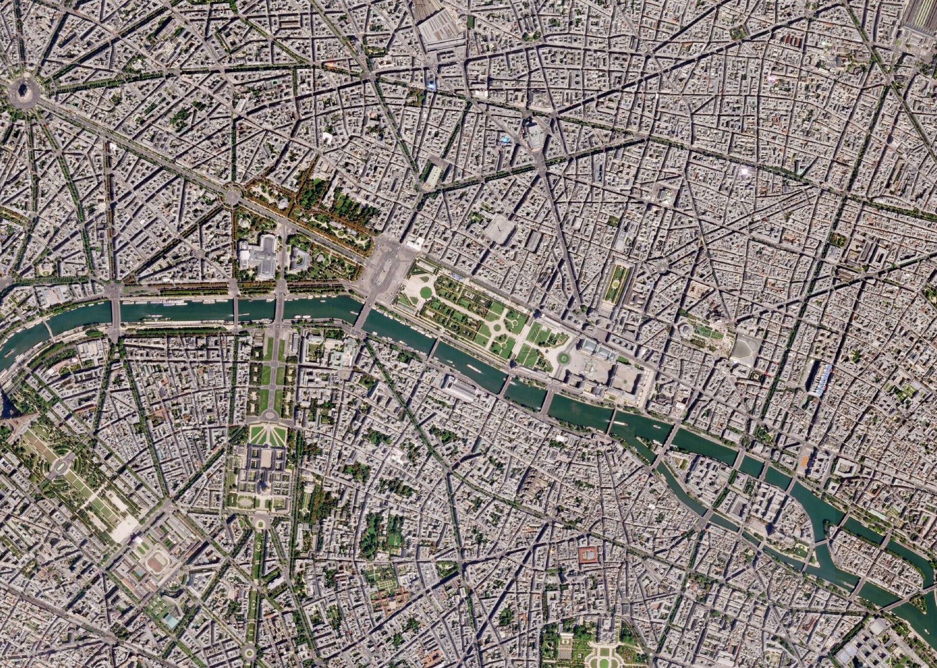
Planet Data for ESA Earthnet Programme
As a certified Third Party Mission in the European Space Agency’s Earthnet Programme, Planet’s high-frequency, high-resolution imagery is available to the Earth Observation community for non-commercial use. European scientists, researchers, and companies can leverage near-daily PlanetScope, high-resolution SkySat, and RapidEye archive data for land use monitoring, climate research, and capturing global change.
Introduction to Planet Earthnet Data
Enabling Powerful Analyses for Clear Insights
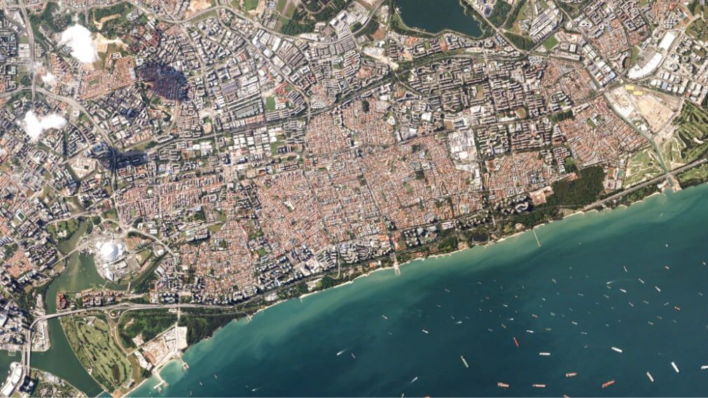
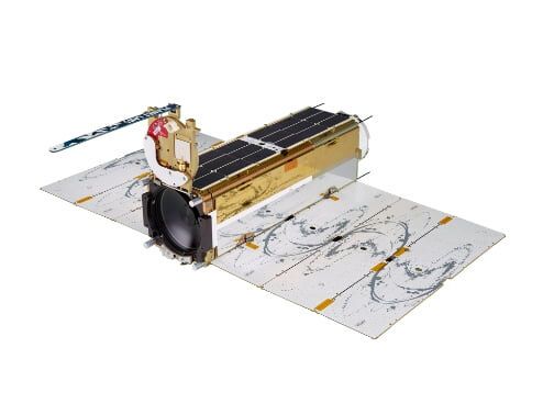
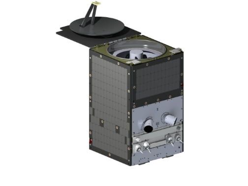
Hundreds
Satellites
3.7 m
GSD
350 million km2/day
Capacity
RGB + Green II, Yellow, Red Edge, and NIR
Spectral Bands
475 km
Orbit Altitude
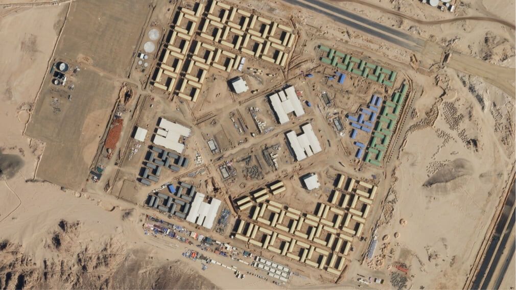
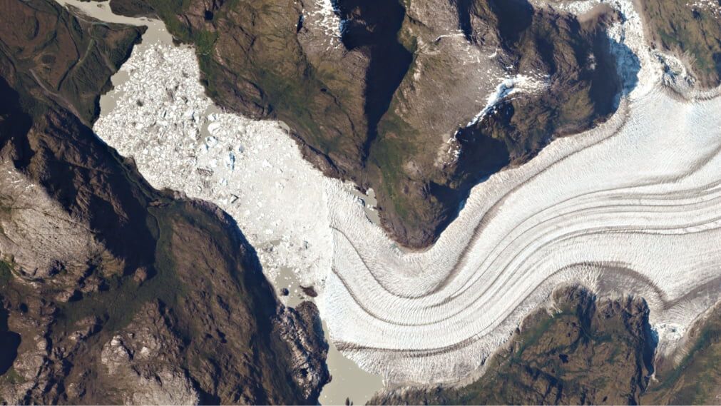
~15
Satellites
0.65 m
GSD
400 K km2/day
Capacity
RGB, Pan and NIR
Spectral Bands
450 km
Orbit Altitude
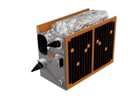
5
Satellites*
6.5 m
GSD
2009–2020
Archive
RGB, Red Edge and NIR
Spectral Bands
*retired in March 2020
About the ESA Earthnet Programme
Initiated in 1976, the ESA Earthnet Programme is a “network for Earth,” with the purpose of building an Earth Observation science community to acquire and share knowledge of our planet. Within this programme, Planet joins more than 50 other missions to add near-daily PlanetScope imagery, 50 cm orthorectified SkySat imagery, and RapidEye archive data to this global network.
How to Apply

Learn More About ESA’s Earth Observation Data and Satellite Missions


Planet’s Science Programs
Planet has multiple data access pathways for researchers to utilize our high spatial and temporal resolution imagery for high impact science.
Visit Planet Science Programs
FAQ
Your Questions About the ESA Data Program Answered
Empowering the Earth Observation Community
Planet’s work with partners through the ESA Earthnet Programme, provides critical data to support ground-breaking work. This will unleash a new set of uses and applications of earth observation data to combat climate change and develop new capabilities in a variety of industries.
© 2025 Planet Labs PBC. All rights reserved.
| Privacy Policy | California Privacy Notice |California Do Not Sell
Your Privacy Choices | Cookie Notice | Terms of Use | Sitemap
