Ignite Geospatial Insights With Planet Data
Supercharge analysis with actionable data and best-in-class GIS integrations
DAILY DATA WITH AN OPEN, ACCESSIBLE PLATFORM
Global coverage, daily insights
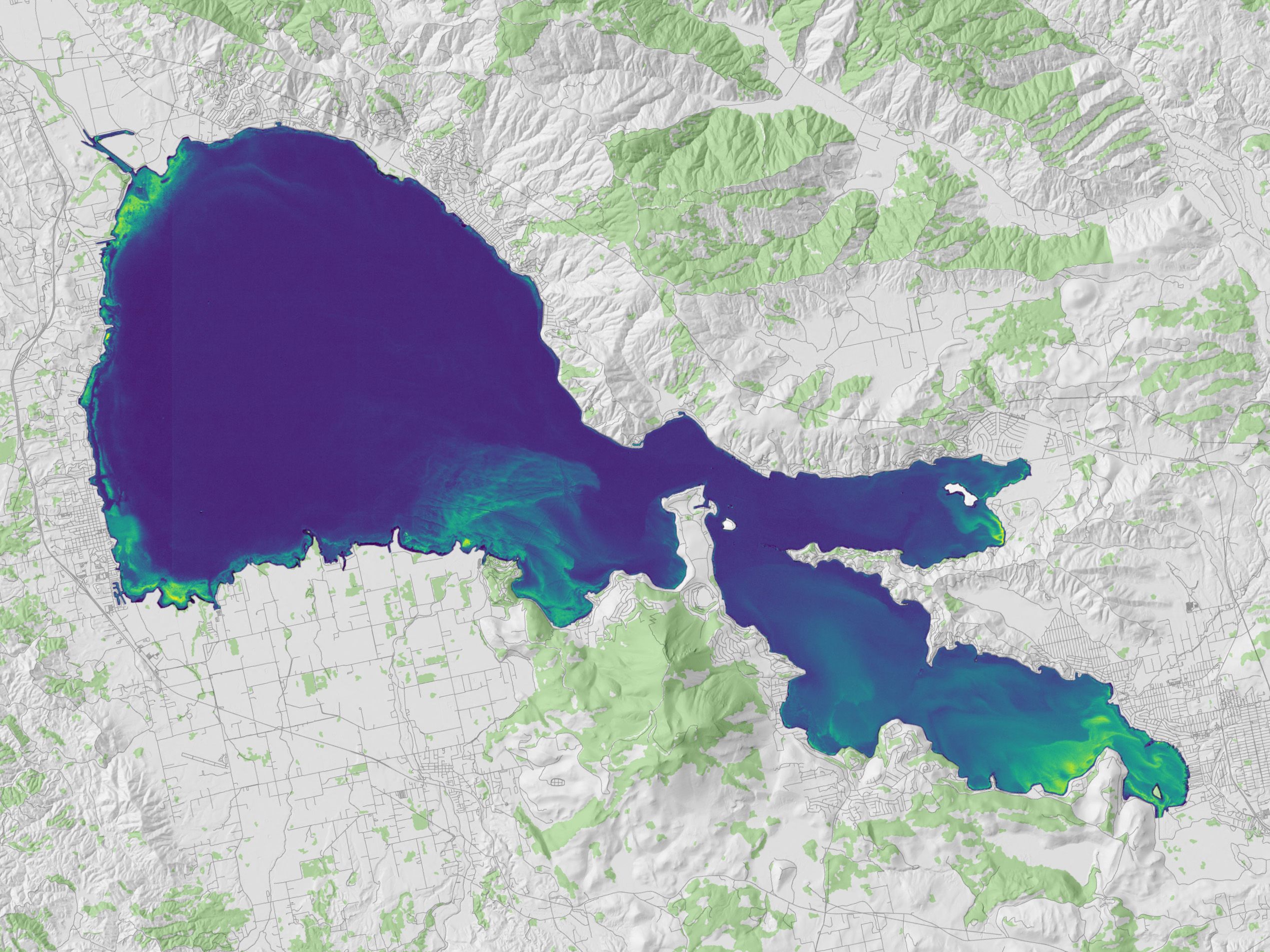
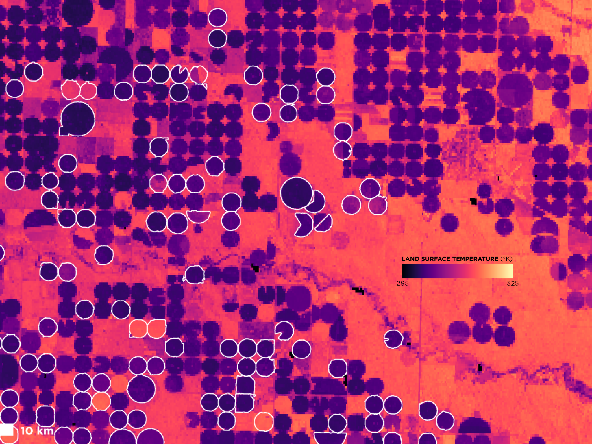
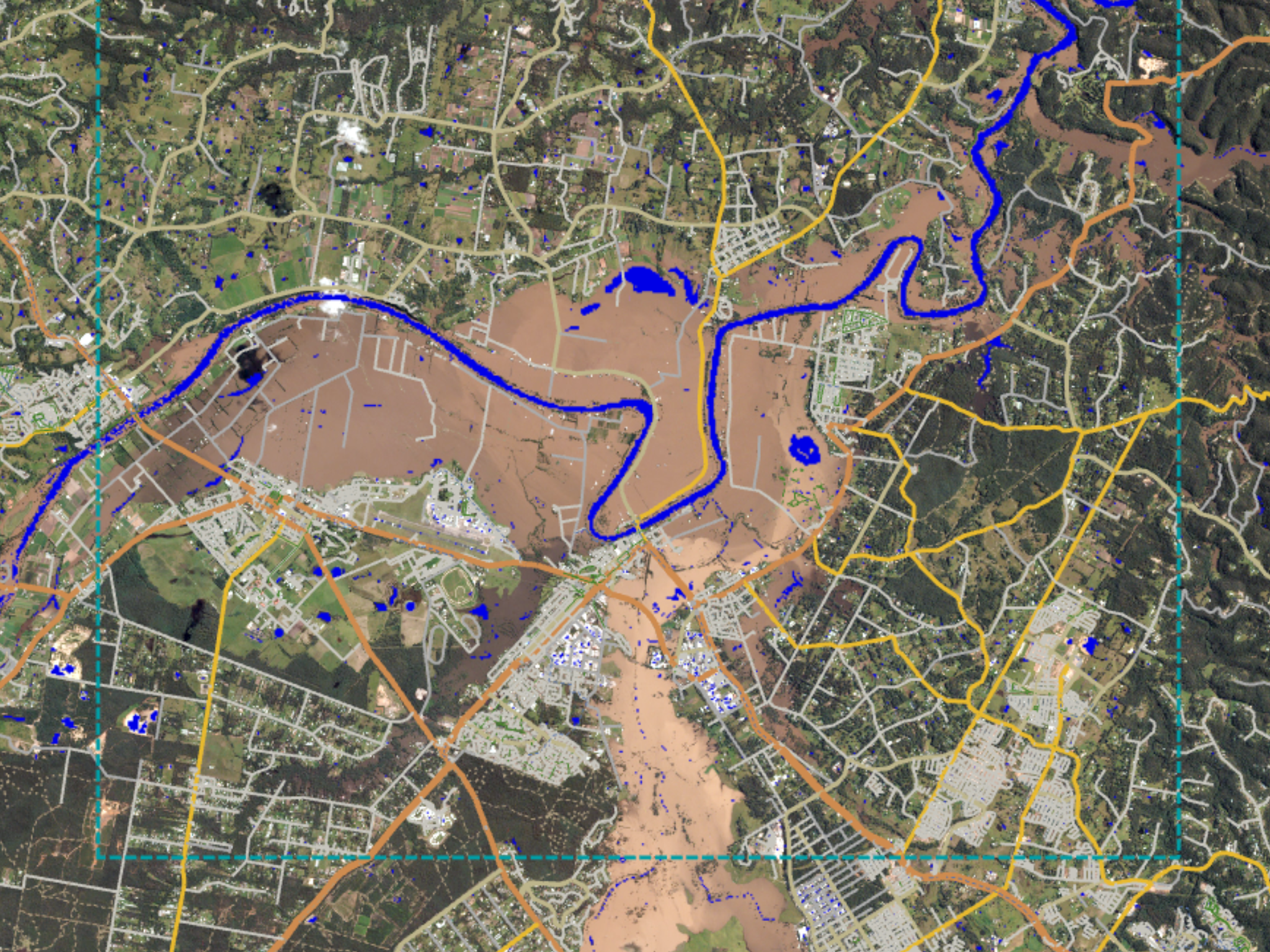
Planet satellite imagery is a living dataset of global change. Drive richer analysis with high-spatial resolution and high-frequency data, broad-area coverage, and automated detection feeds – integrated directly into your geospatial platform.
Hear how Planet customers across diverse industries and geographies are making change visible and actionable.
LEARN MORE ABOUT SOLUTIONS FOR GIS PROFESSIONALS
Focus on the analysis that matters, no matter how you work
Seamless integrations and analysis-ready mosaics mean you can import high-cadence, pre-processed data from everywhere on Earth, directly into your ArcGIS or open-source workflows.

EXPLORE OUR PRODUCTS
Comprehensive geospatial insights from near-daily and hi-res imagery to machine learning and, analysis-ready datasets.

INTEGRATE WITH ArcGIS
Seamless approaches to incorporate Planet data into ArcGIS Pro, ArcGIS Online, or ArcGIS Enterprise.

HEAR FROM OUR CUSTOMERS
Learn how GIS professionals put Planet solutions to use to drive more informed decisions and actions.
© 2025 Planet Labs PBC. All rights reserved.
| Privacy Policy | California Privacy Notice |California Do Not Sell
Your Privacy Choices | Cookie Notice | Terms of Use | Sitemap
