Search
Planet For Defense And Intelligence
Detect and Validate Threats Across Any Area of Interest
Detect and Validate Threats Across Any Area of Interest
Gain awareness of what’s known, uncertain, and hasn’t yet emerged with high-frequency, high-resolution satellite data.
Gain awareness of what’s known, uncertain, and hasn’t yet emerged with high-frequency, high-resolution satellite data.
Minimize Intelligence Gaps
Traditional methods of indications and warnings (I&W) are increasingly ineffective against evolving threats. Adversary deception and denial tactics are outpacing these methods, leading to strategic surprises, unforeseen threats, and severely limited response options.
Existing geospatial intelligence (GEOINT) assets, primarily focused on known targets, struggle to identify emerging threats and anomalous activities. Continuous and comprehensive global monitoring solutions can effectively address these vulnerabilities.
With near-daily Planet satellite data you can leverage more than 300 billion sq km of imagery to establish a baseline understanding of normal patterns of life and detect subtle changes that may signal potential threats, enabling proactive responses to emerging situations.
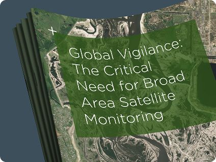
The Critical Need for Broad Area Satellite Monitoring
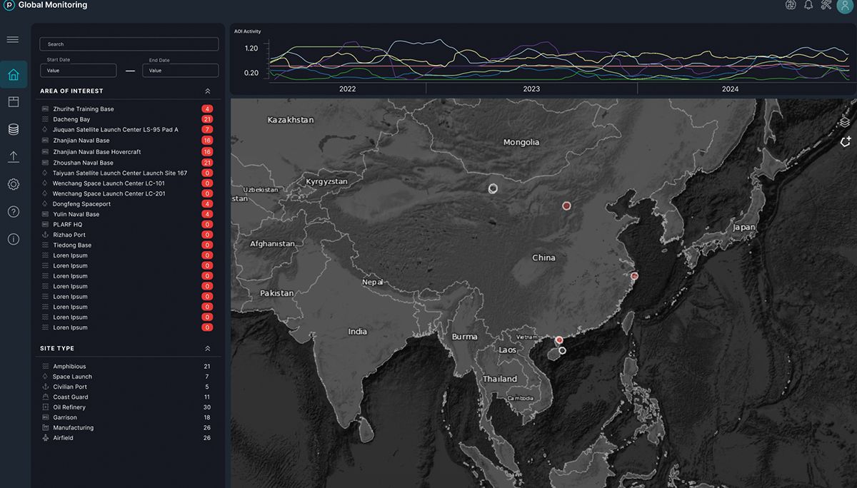
Global Monitoring Service
Identify strategic I&W and discern anomalies to enable decisions and take action with AI- and ML-driven analysis at scale
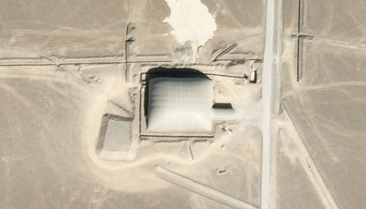
Detect change in near real-time: Monitor global sites and areas, including military installations, defense critical infrastructure, and economic indicators
Strengthen early warning capabilities: Leverage historical data to benchmark normal activity, draw correlations across hundreds of sites to reveal patterns, detect anomalies, and predict adversary activity
Accelerate response time: Automate alerts to deliver critical information, streamlining analysis and action
Expand decision space: Integrate multiple data sources to achieve global situational awareness
Maritime Domain Awareness
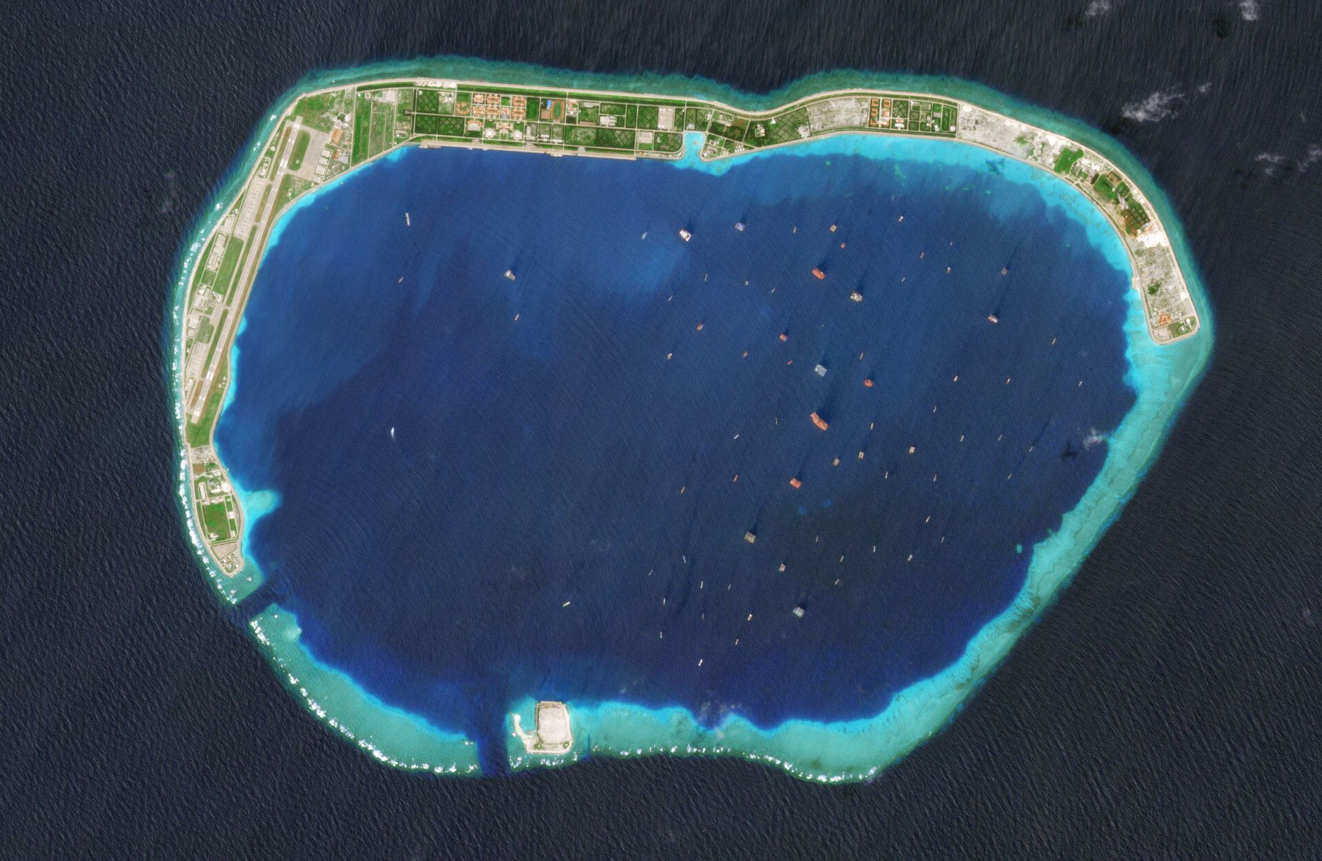
Gain critical awareness across the world’s waterways through automated vessel recognition, attribution, and tracking
Monitor ports, waterways, and strategic open water areas: Maintain a comprehensive and near-daily view of millions of square nautical miles
Uncover signs of illicit activity: Track vessel movements and validate positioning, even in the absence of AIS signals
Fill intelligence gaps: Leverage automated alerts to expedite the response to new activity
Understand patterns and historical trends: Leverage an extensive archive with proprietary datasets dating back to 2009

Planet’s proven ability to provide immediate answers to critical questions concerning enemy force dispositions, actions, and intentions gave [our] forces an exploitable advantage over the enemy.”
Operational Unit
U.S. Military
Detect And Understand Change
Reveal Critical Patterns and Anomalies
Reveal Critical Patterns and Anomalies
Planet continually expands and scales insights into actionable intelligence, providing strategic and operational advantages to defense and intelligence organizations.
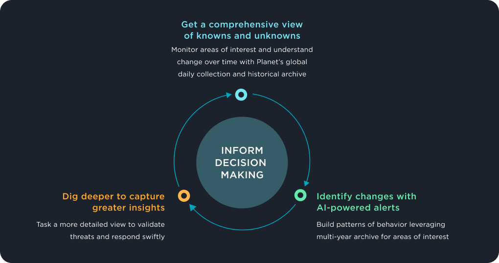

Get a comprehensive view of knowns and unknowns
Monitor areas of interest and understand change over time through global daily collection and historical archive
Identify changes with AI-powered alerts
Build patterns of behavior leveraging multi-year archive for areas of interest
Dig deeper to capture greater insights
Task a more detailed view to validate threats and respond swiftly
Resources
Resources
© 2025 Planet Labs PBC. All rights reserved.
| Privacy Policy | California Privacy Notice |California Do Not Sell
Your Privacy Choices | Cookie Notice | Terms of Use | Sitemap
