Search


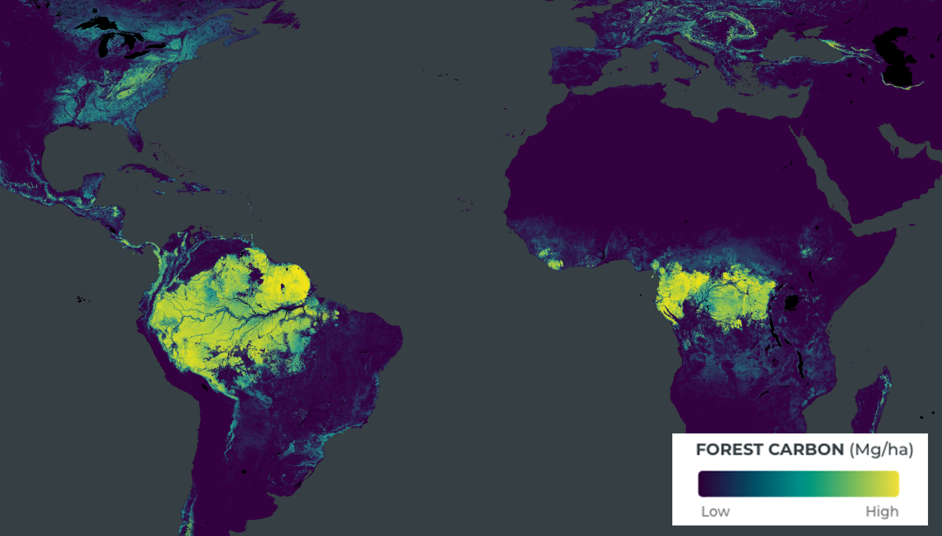
Planetary Variables™:
Quantifying a Changing World
Drawing on observations from Planet’s satellites and the broader Earth observation ecosystem, Planetary Variables™ deliver continuous, scientifically rigorous data that measures the changing conditions of the surface of the Earth.


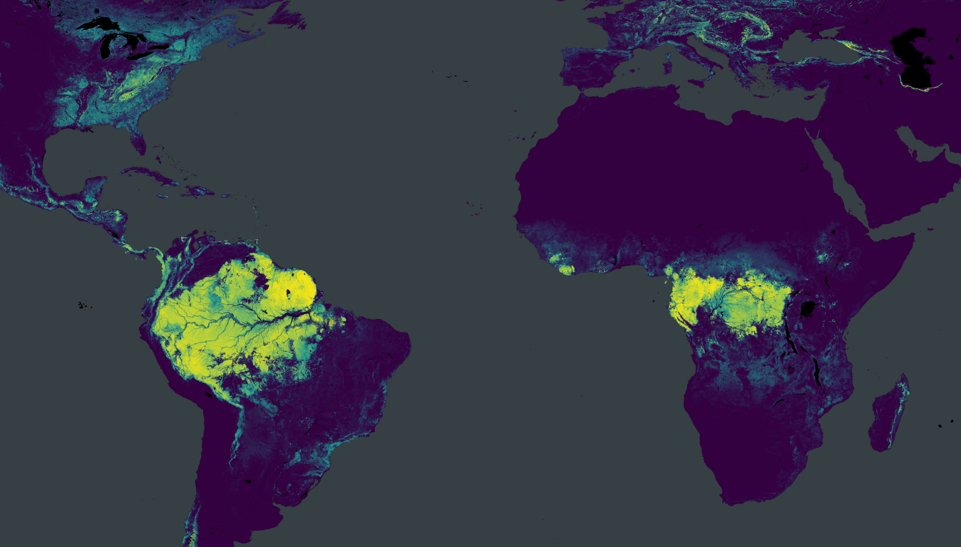
Planetary Variables™
Quantifying Change Across the Globe
Earth’s hydrological and biological systems shift on a daily basis with immense complexity. Satellite data from Planet can help track some of the vital characteristics that define the health of our world, including water, vegetation, temperature, and forest carbon.
Planetary Variables render complex earth observation data from a range of constellations into actionable measurements, nearly everywhere on the Earth’s landmass. Powered by state-of-the-art remote sensing techniques and honed by a team of award-winning scientists, Planetary Variables provide users robust measurements of the Earth’s surface.
Make better decisions across a range of industries with tools powered by consistent observations and backed by an archive that spans decades.
Water
Daily observations of Soil Water Content across the globe at 100 meter and 1 km resolution
Crop Growth
Easy-to-implement, cloud-free Crop Biomass data delivered daily at 10 meter resolution
Temperature
Accurate, continuous insight into Land Surface Temperature at 100 meter and 1 km resolution
Forest Carbon
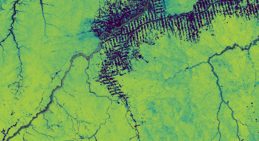
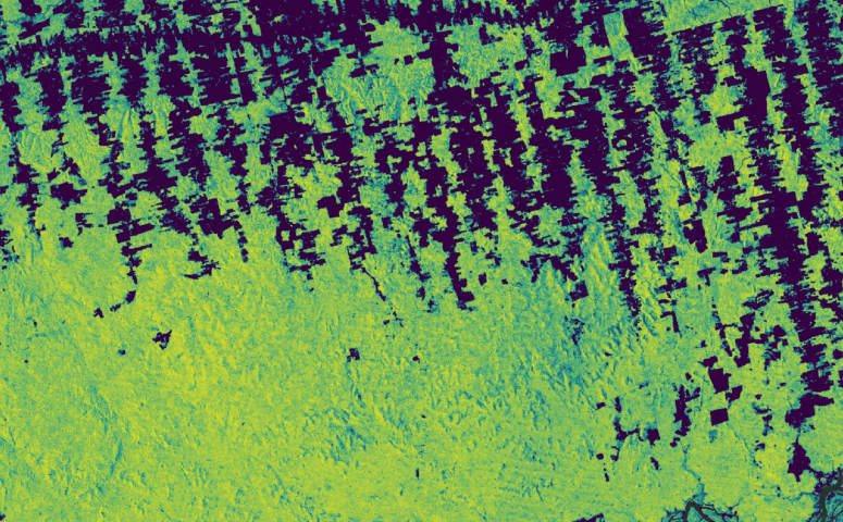
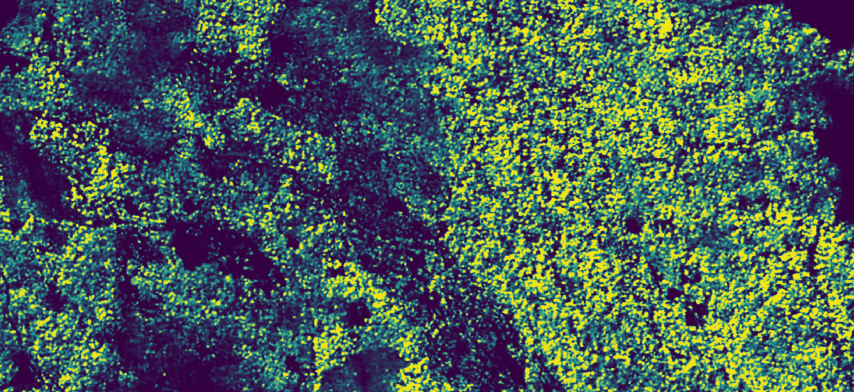
Quantifying aboveground Forest Carbon at less than 5 meter resolution
Field Boundaries
Combine global, affordable Field Boundaries with Planet data for scalable solutions
How It Works
Analysis-ready Satellite Data Powered by Industry-leading Expertise in Remote Sensing for Water, Temperature, Carbon, and Vegetation
Planetary Variables data products are based on the scientific expertise of industry-leading remote sensing scientists. Our team develops advanced algorithms that process satellite data from Planet and from public constellations to produce information that is usable without the need for extensive data cleaning and processing.
Data sources from across the electromagnetic spectrum, including optical, radar, passive microwave, and lidar sensors, reveal different aspects about the physical properties of earth. By fusing these distinct sources together, Planetary Variables unlock information about key characteristics about the Earth.
How It Can Help
Powering Solutions By Measuring Changing Conditions on the Earth’s Surface

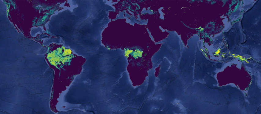
Monitoring Forest Carbon
Our Forest Carbon dataset provide aboveground forest carbon, tree height, and canopy cover estimates to easily analyze every hectare of forest and woodland anywhere on Earth. This Planetary Variable draws on machine learning models to fuse a rich archive of historical satellite observations with high quality laser-derived reference data.
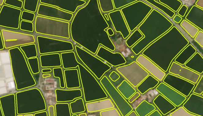
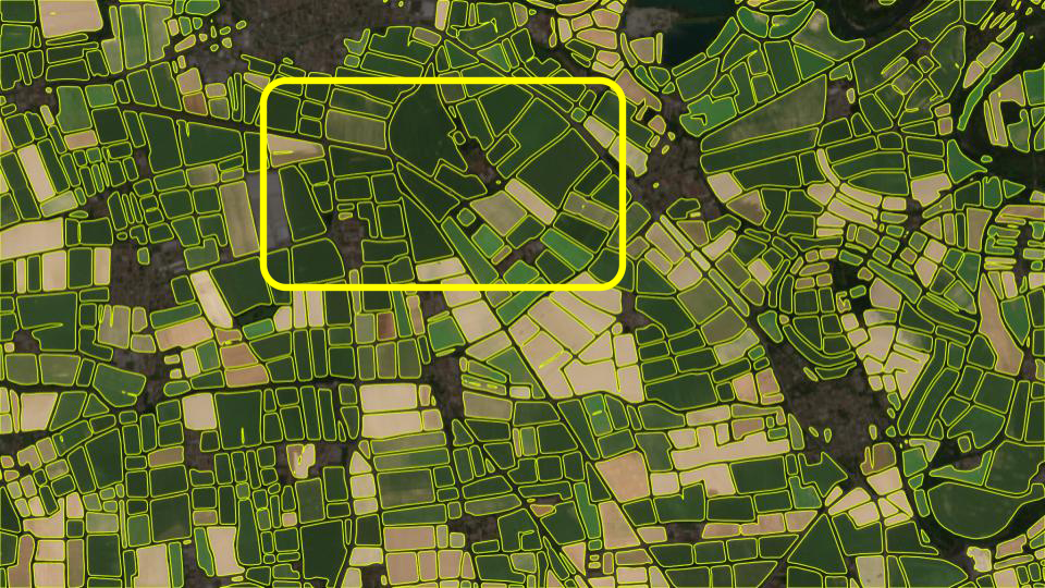
Automated Field Boundary Detection
Planet Field Boundaries provides critical infrastructure for agriculture solutions including regional crop monitoring and yield estimation, and at an affordable price point to help deliver over broad areas. From food security to supply chain traceability to commodities trading, agricultural field boundaries from Sentinel-2 imagery enable high-level analytics at scale.
Tracking Drought
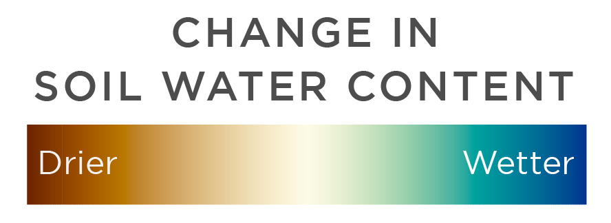
Planet’s Soil Water Content data generates a reliable, objective measurement of the water content of the soils, anywhere on earth. By tracking conditions over years and decades, a baseline understanding of Soil Water Content is ideal to assess the impact of drought. In collaboration with the world’s most innovative reinsurers and brokers, Planet provides Soil Water Content data in 17 countries to help protect farmers from the impacts of drought.
Monitoring Crop Growth and Optimizing Input Efficiency
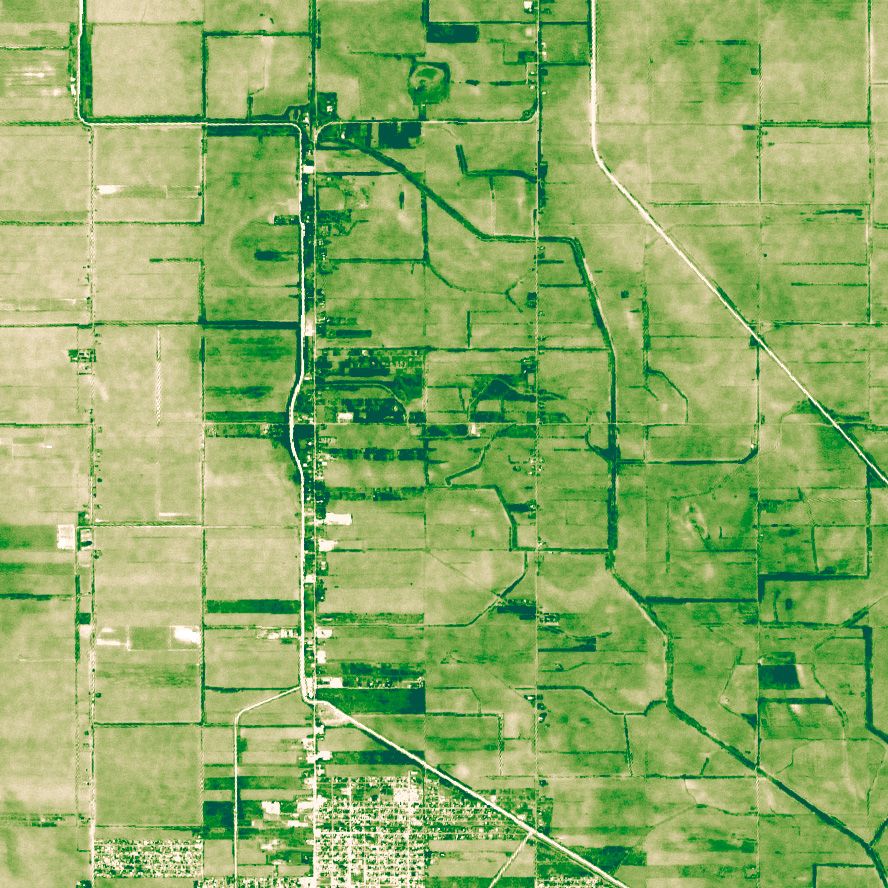
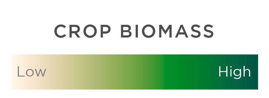
With detailed, reliable and timely crop growth data, Planet’s Crop Biomass provides a straightforward, analysis-ready datastream. Cloud-free biomass data can help track crop growth and provide an input for variable rate applications, and because of its consistency, it can support the identification of key events like harvesting or mowing. Ideal for farmers and the companies that serve them.
Water Resource Monitoring
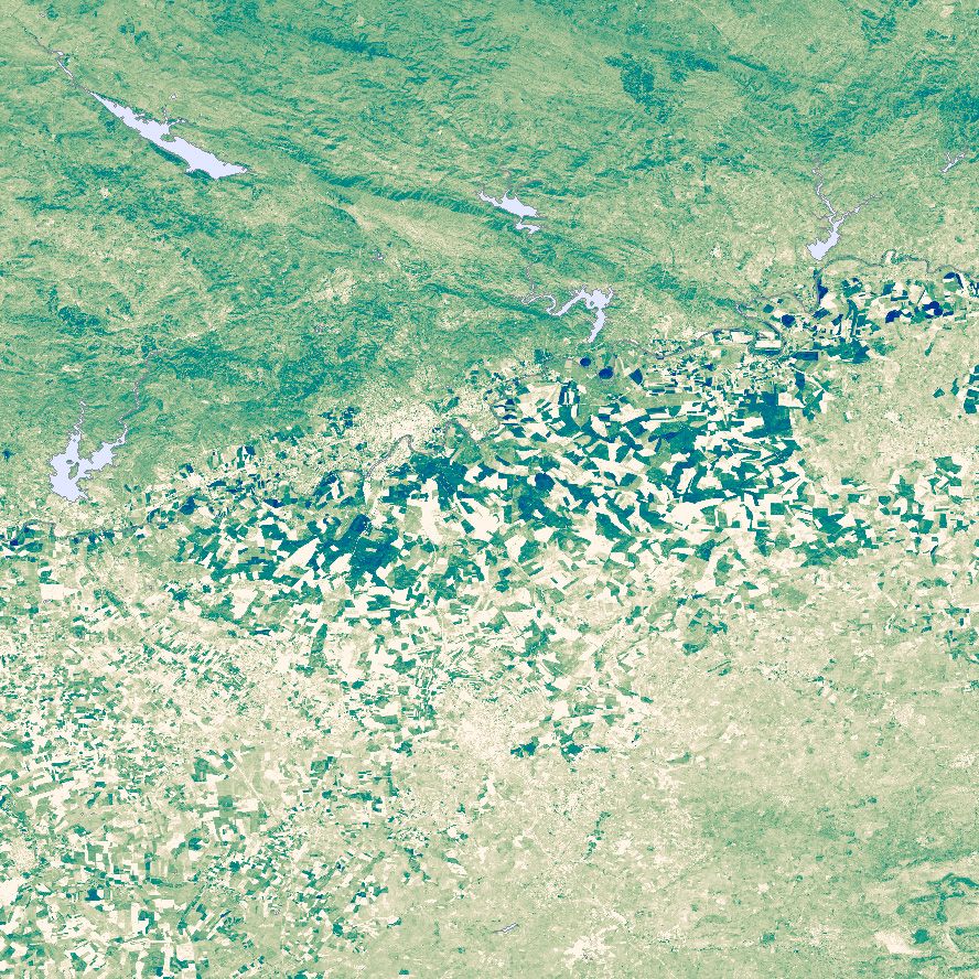
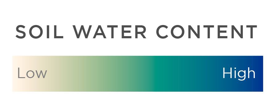
Near real-time Soil Water Content data helps monitor complex water systems by measuring current water levels to estimate water demand. With two decades of archive data, water resource managers can understand what’s normal and what’s not, tracking droughts, flooding, and the effects of interventions.
Discover More Planet Products
Global Satellite Images and Insights at Your Fingertips
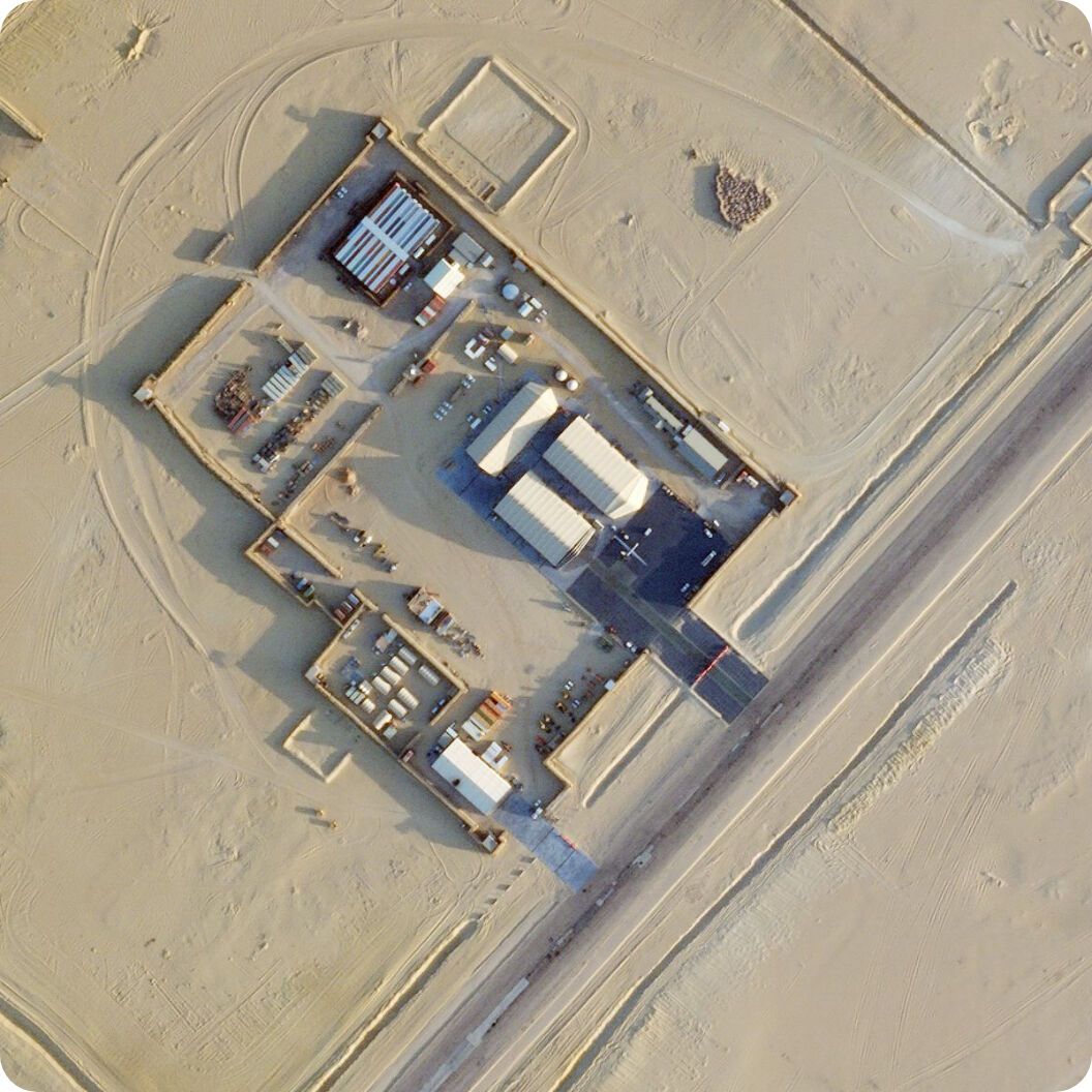
Planet Monitoring
High-frequency, global coverage
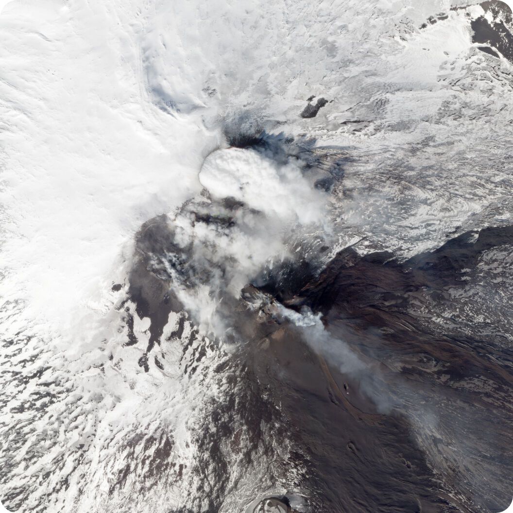
Planet Tasking
Rapid revisit satellite tasking

Planet Archive
A constantly refreshed global dataset
Read More
Discover How Planetary Variables are Increasing Our Understanding of the World and Improving Life on Earth
Ready to learn how Planetary Variables can help you?
Planetary Variables make measuring the dynamic conditions of water, temperature, vegetation, and forest carbon more straightforward, with consistency and scientific rigor you can rely on. Equip your team with the right measurements to monitor conditions and build models.
To learn more about Planetary Variables visit Planet University.
© 2025 Planet Labs PBC. All rights reserved.
| Privacy Policy | California Privacy Notice |California Do Not Sell
Your Privacy Choices | Cookie Notice | Terms of Use | Sitemap
