Search
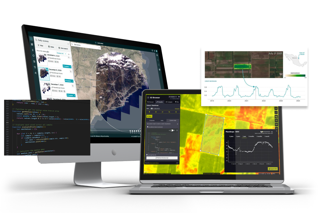
Meet Planet Insights Platform
Reliable. Scalable. Accessible. Planet Insights Platform is your centralized, cloud-native, broad-area-management destination for daily Earth data and analytics.
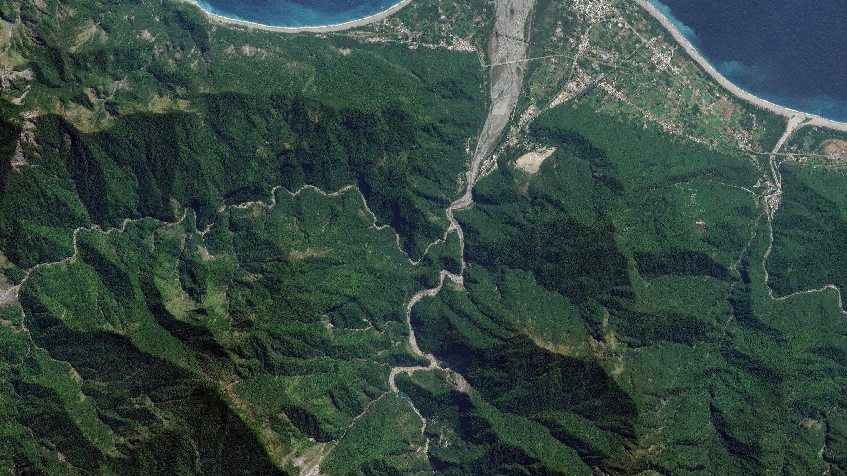
Global, always-on monitoring.
Explore vast datasets to drive confident, data-informed decisions about broad areas.
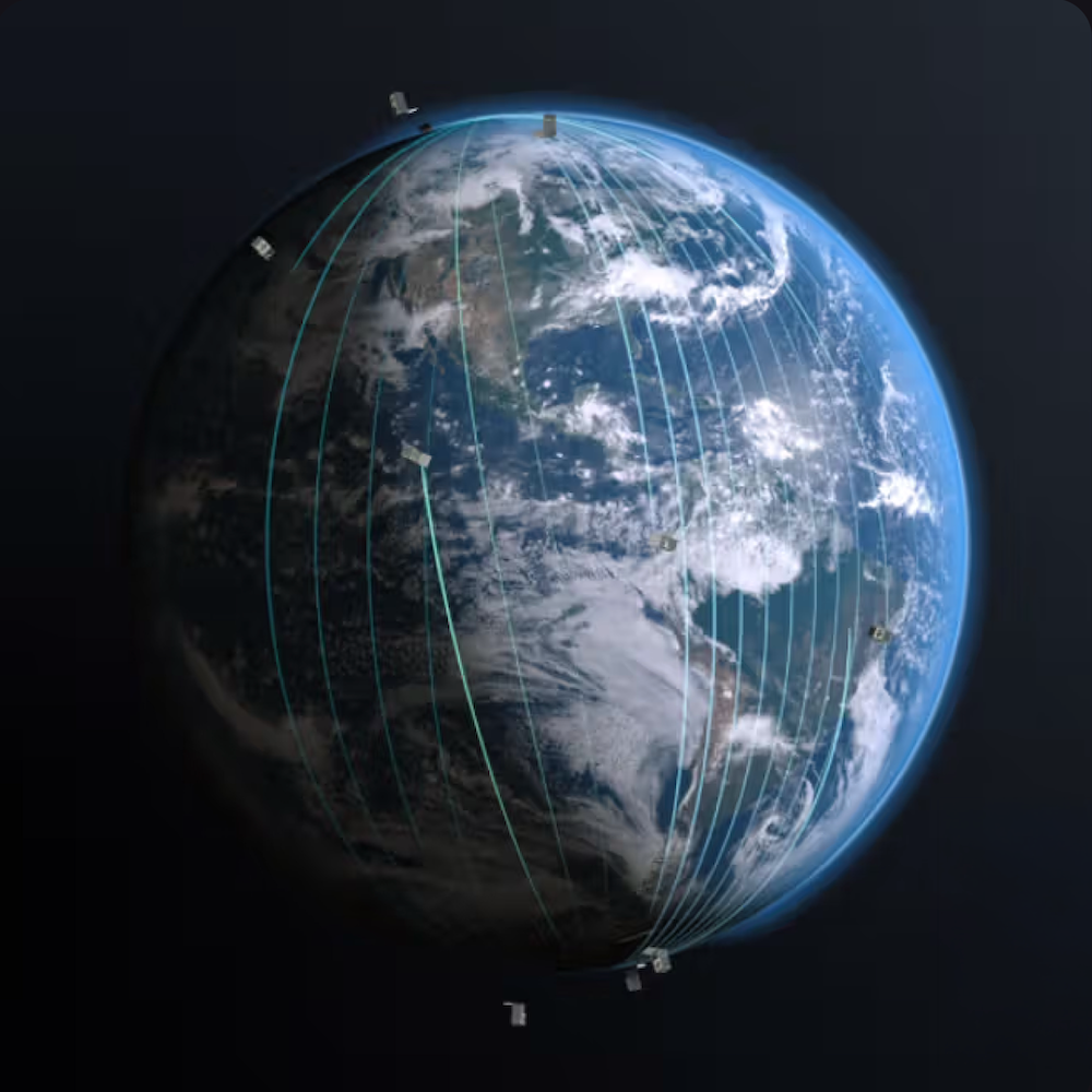
Smart, scalable analysis.
Turn satellite data into clear, actionable insights—quickly and at a global scale.
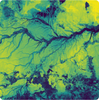
Accessible,
shareable insights.
GIS integrations, developer APIs, and cloud delivery enable EO-powered products and sharable insights.
HOW IT WORKS
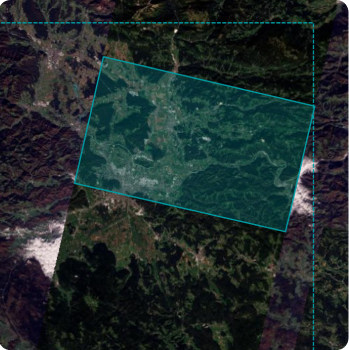
Planet Insights Platform provides a seamless way to access diverse, reliable datasets on a user-friendly, cloud-hosted platform.
Find clarity
within complexity.
With all the key details in one place, it’s easy to get started and quickly gather the knowledge you’re seeking.
SUCCESS STORIES
See how our customers unlock broad area management and quickly scale Earth observation workflows with Planet Insights Platform.

"With Planet Insights Platform, we have all the data in one platform and this allows us to extract the data we need very quickly…build models, and scale them up quickly."
Rural Payments Agency

"We can retrieve data quickly and easily. This has allowed us to fully automate our service and run it in the cloud with a serverless architecture, significantly reducing our development time and costs."
Abelio
"With a higher return time and the ability to identify activities on smaller and narrower parcels, we can monitor 15-20% more parcels and use twice as many images to fill our models."
NEO

"Because Planet has all the data tools, analytics in one cloud-based platform, we can provide more valuable information to our decision-makers."
Kazakhstan GeoVen Supply (KGS)
READ MORE
Explore the Planet Blog
Learn more about how our satellite intelligence can help you drive innovation and unlock transformative results.


Let's do this!
Visit our pricing page to find a plan that fits your needs.
© 2026 Planet Labs PBC. All rights reserved.
| Privacy Policy | California Privacy Notice |California Do Not Sell
Your Privacy Choices | Cookie Notice | Terms of Use | Sitemap
