Topics
News
Stories
Tech
Publications
All Articles
View All Posts
All
News
Stories
Tech
Stories
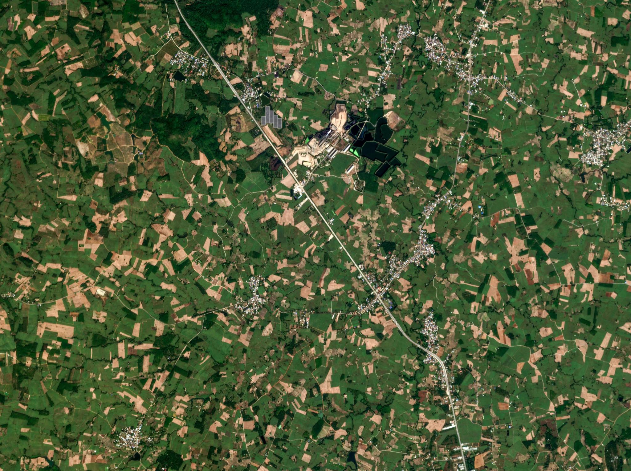
How Planetary Intelligence Is Opening New Geospatial Frontiers
Anya Lamb
|
June 25, 2026
|
7 min read
Read more
Stories
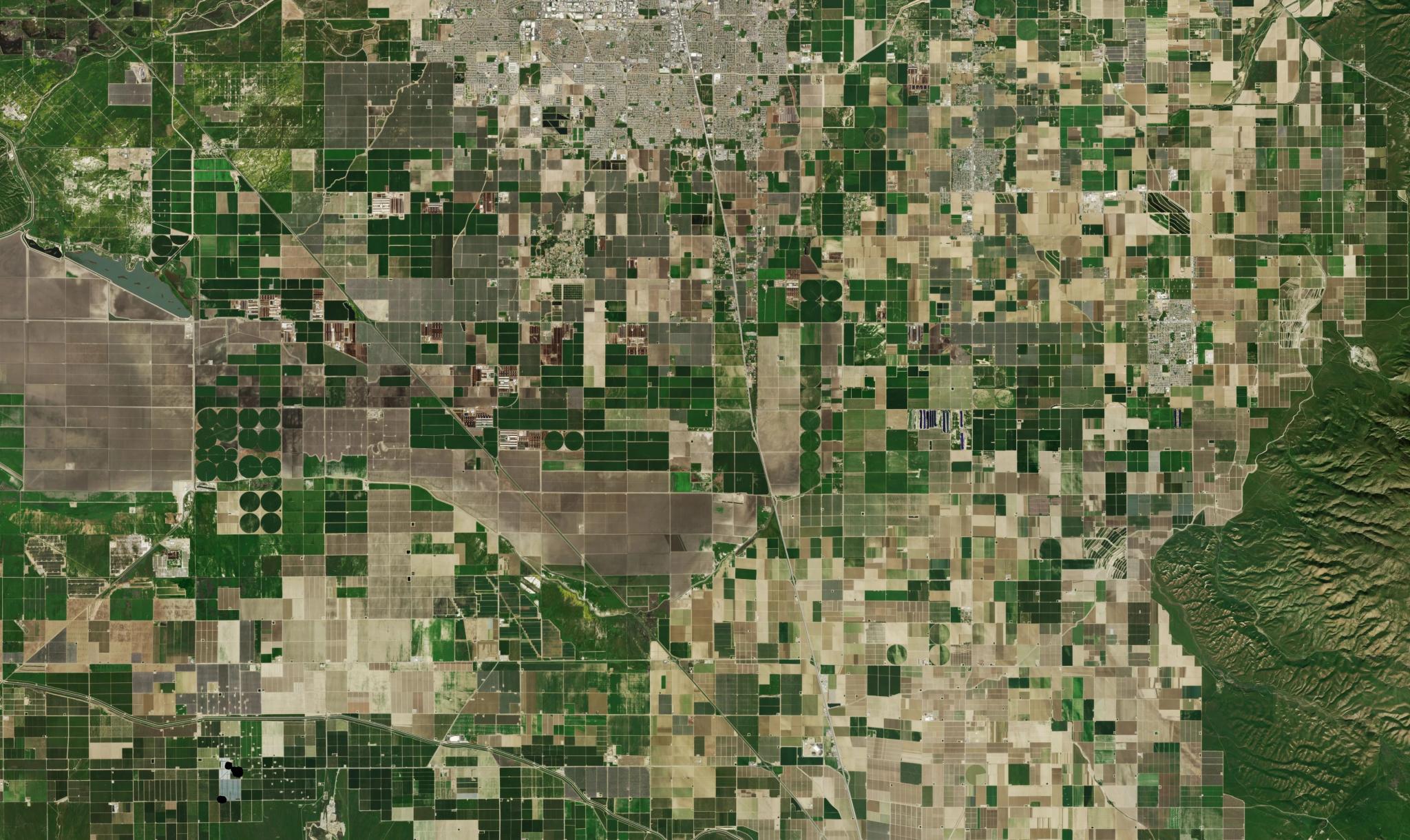
How Farmdar Achieves 95% Accurate Sugarcane Yield Predictions Using AI-Driven Satellite Analytics
Janeth Fule
|
June 24, 2026
|
5 min read
Read more
News
Seeing Beyond Greenhouse Gases: Researchers Use the Tanager Satellite to Detect Ammonia From Space
Keely Roth
|
June 17, 2026
|
5 min read
Read more
Tech
How Governments Can Reduce Wildfire Risk Before Ignition
Ben Flanagan
|
May 28, 2026
|
6 min read
Read more
Stories
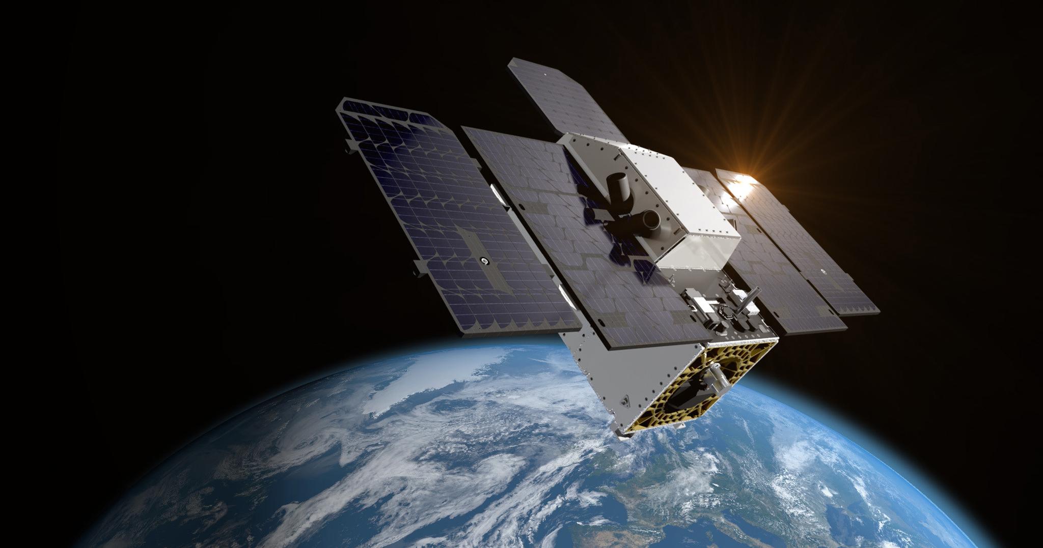
Planetary Intelligence
Will Marshall
|
May 27, 2026
|
18 min read
Read more
Tech
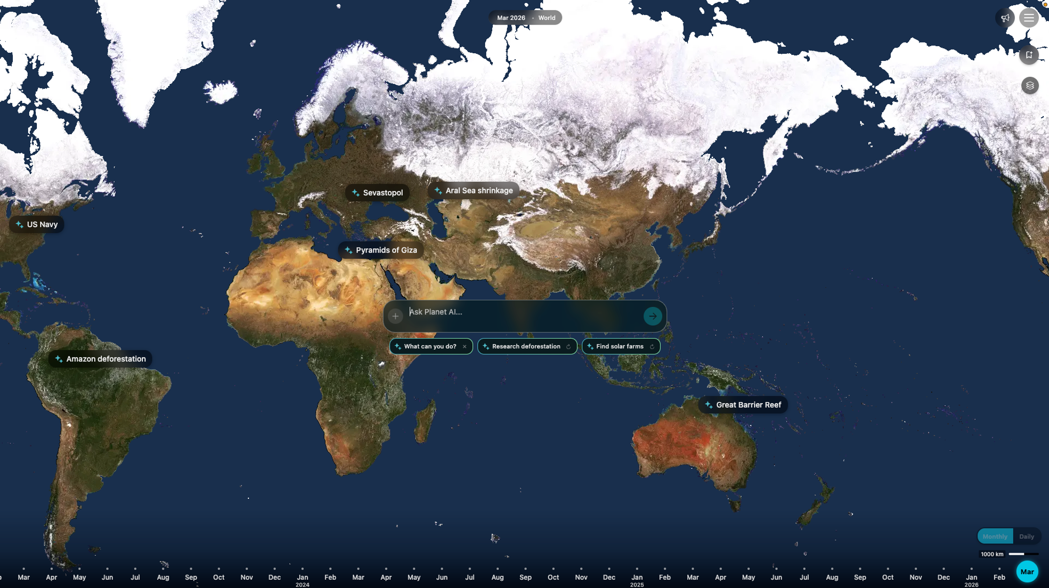
How Agentic AI Transforms Earth Observation Into Actionable Intelligence
Mariah Hauck
|
May 21, 2026
|
6 min read
Read more
Stories
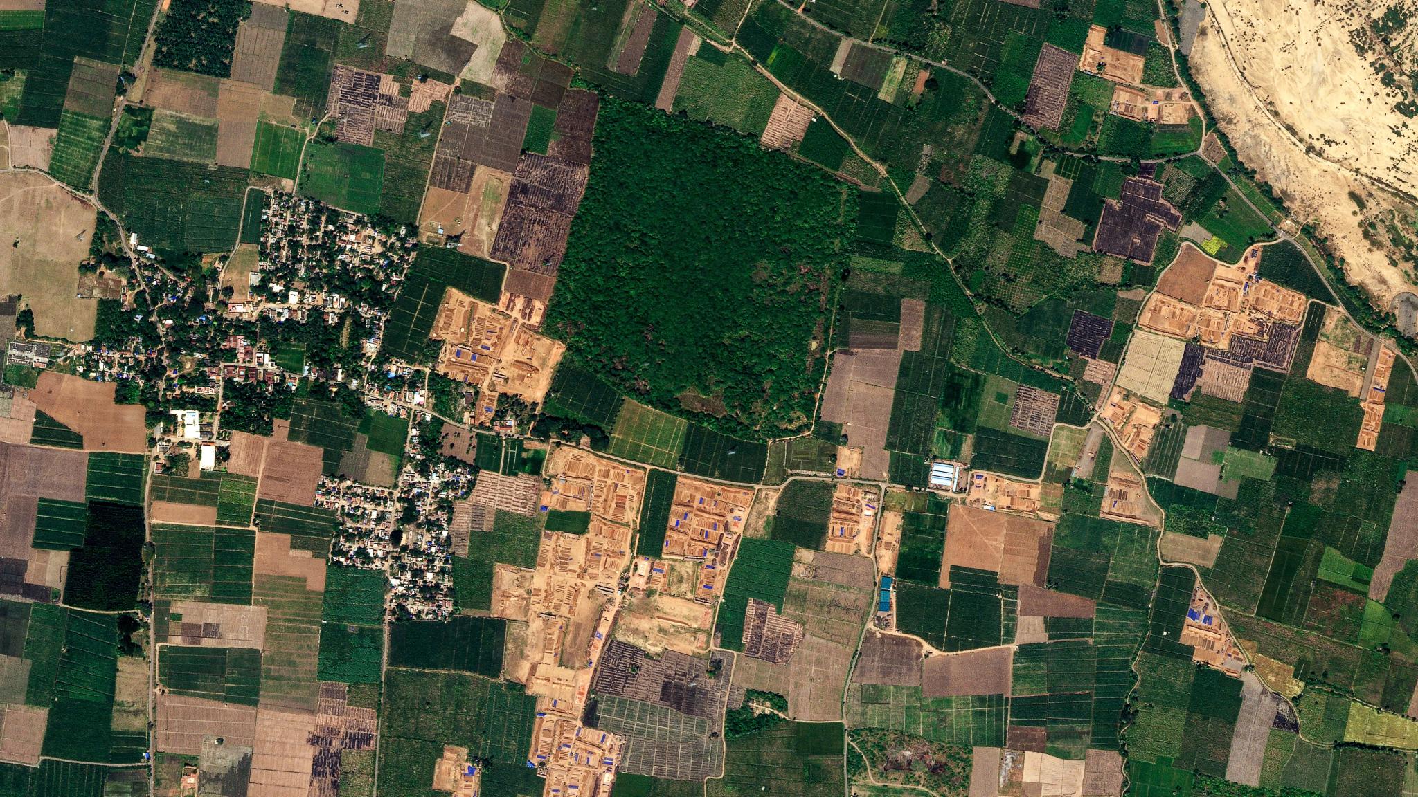
How Mahindra Uses Planet Monitoring to Transform Sugarcane Harvest Planning in India
Janeth Fule
|
May 14, 2026
|
5 min read
Read more
Tech
Planet and FarmQA Drive Higher Farm Margins With Precision Agronomy at Scale
Ariel Zajdband
|
May 12, 2026
|
3 min read
Read more
Tech
Planet SuperRes Is Now Available; See the World More Clearly
Richard Kachelriess
|
May 5, 2026
|
3 min read
Read more
Tech
Removing Blind Spots That Hamper Agricultural Compliance Monitoring
Ben Flanagan
|
April 30, 2026
|
5 min read
Read more
News
Announcing the Tanager Open Data Competition
Carly Beneke
|
April 14, 2026
|
4 min read
Read more
News
Planet Develops Novel Radio Communication Systems That Support Hybrid Space-to-Ground and Space-to-Space Connectivity
Brian Lewis
|
April 1, 2026
|
5 min read
Read more
View More Posts