Topics
News
Stories
Tech
Publications
All Articles
View All Posts
All
News
Stories
Tech
Tech
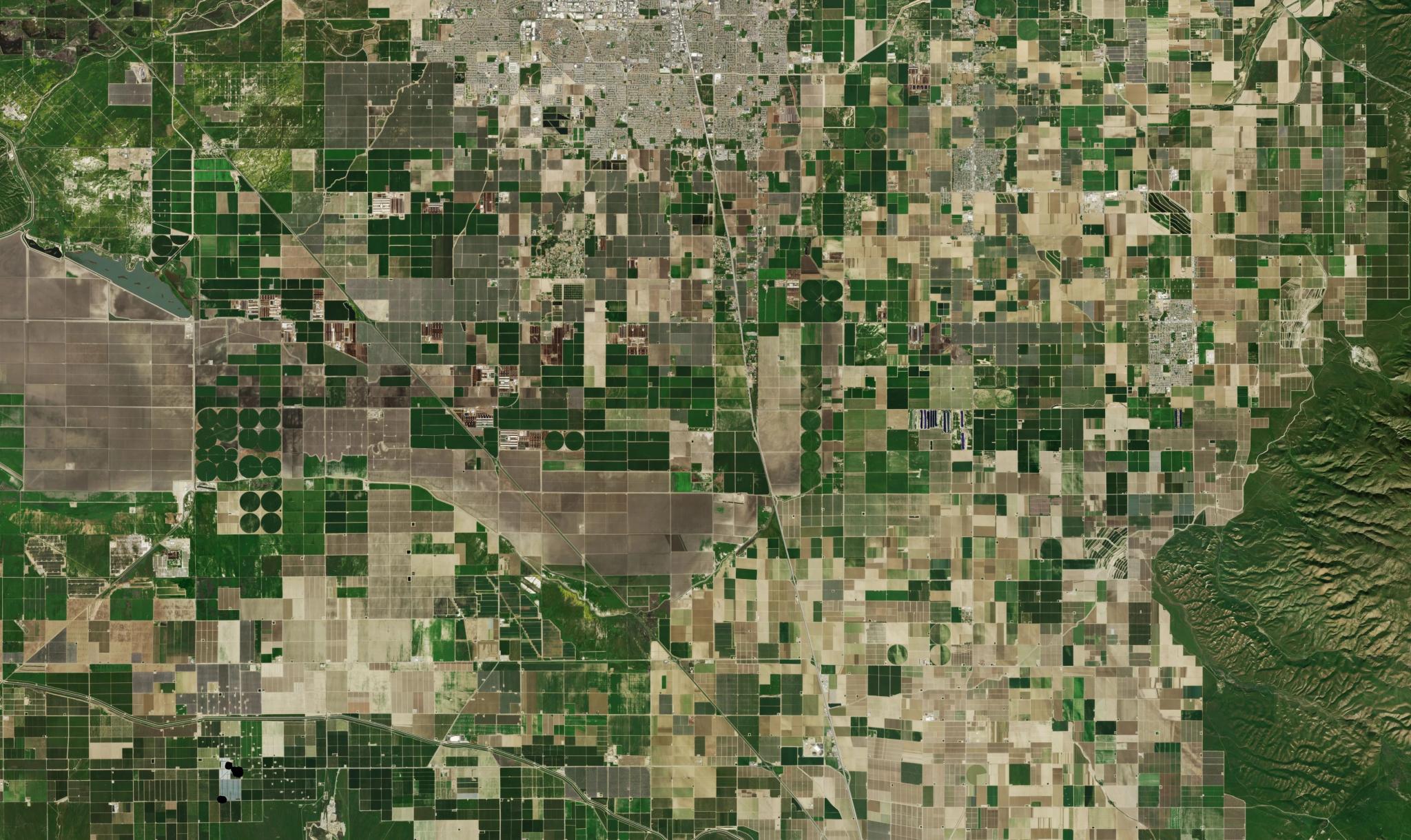
Planet and FarmQA Drive Higher Farm Margins With Precision Agronomy at Scale
Ariel Zajdband
|
May 12, 2026
|
3 min read
Read more
Tech
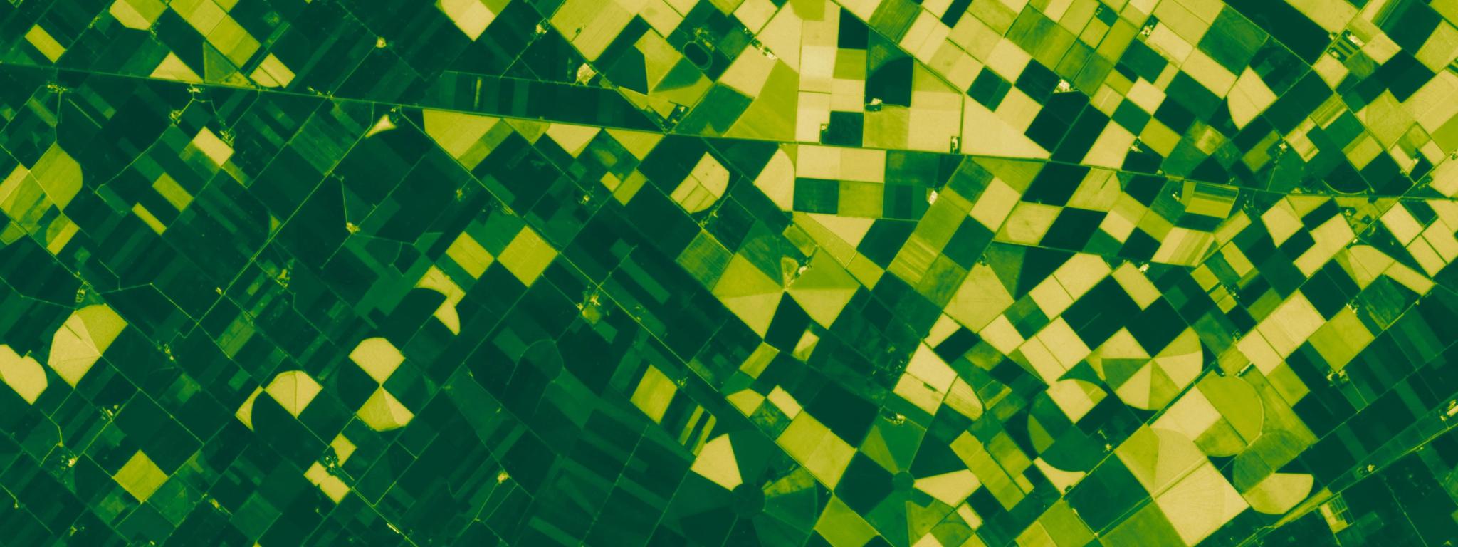
Planet SuperRes Is Now Available; See the World More Clearly
Richard Kachelriess
|
May 5, 2026
|
3 min read
Read more
Tech
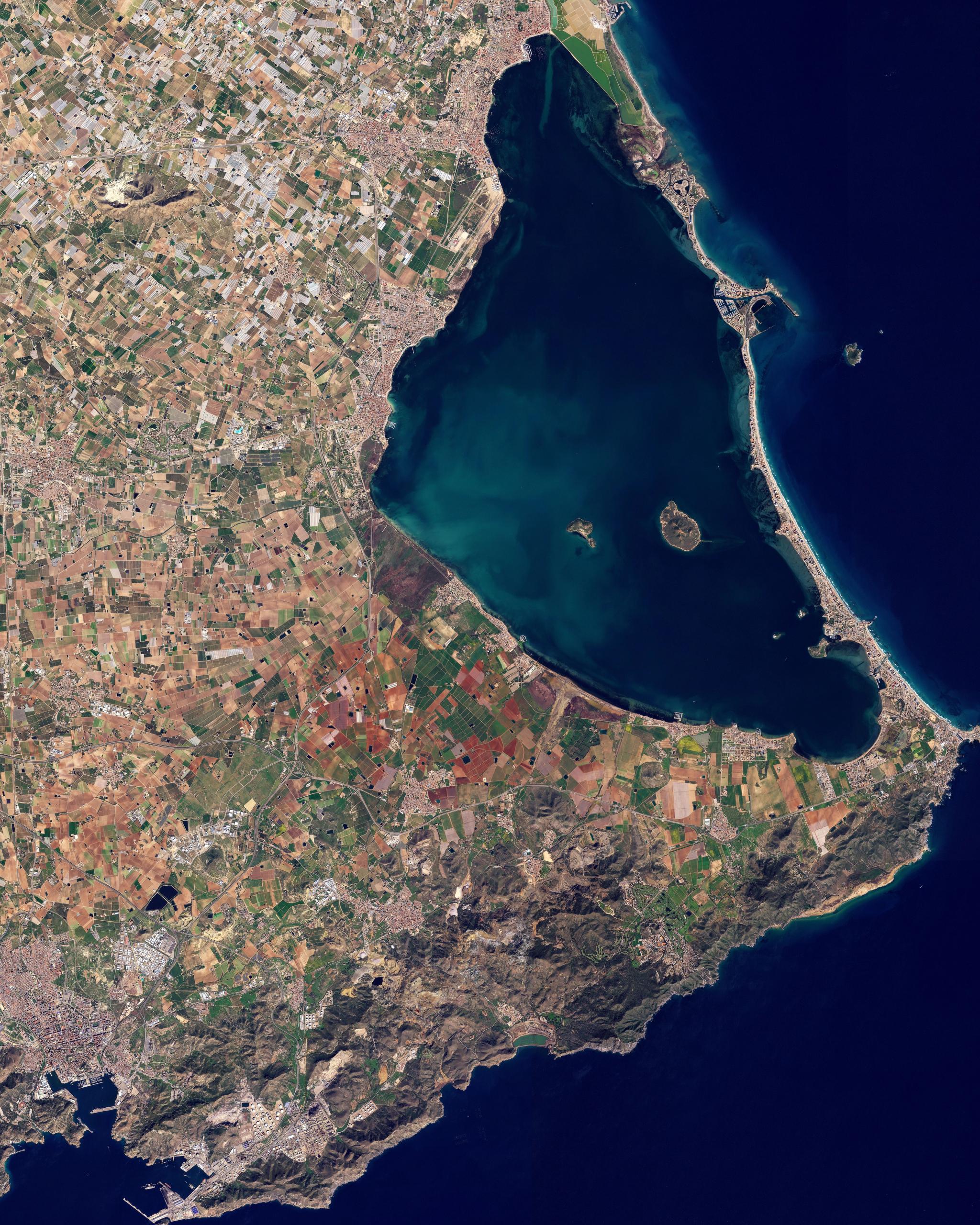
Removing Blind Spots That Hamper Agricultural Compliance Monitoring
Ben Flanagan
|
April 30, 2026
|
5 min read
Read more
News
Announcing the Tanager Open Data Competition
Carly Beneke
|
April 14, 2026
|
4 min read
Read more
News
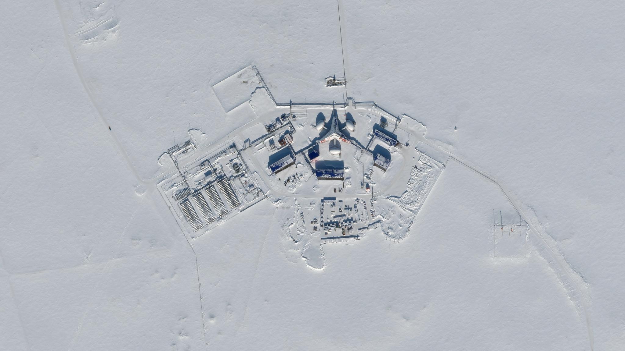
Planet Develops Novel Radio Communication Systems That Support Hybrid Space-to-Ground and Space-to-Space Connectivity
Brian Lewis
|
April 1, 2026
|
5 min read
Read more
Stories
What Is Planetary Intelligence and How Could It Move AI From the Internet to the Real World?
Will Marshall
|
March 31, 2026
|
7 min read
Read more
News
Planet Launches New Initiative on Planetary Security
Andrew Zolli
|
March 24, 2026
|
6 min read
Read more
Tech
Redefining High-Resolution Tasking With Pelican and Tasking Credits
Mariah Hauck
|
March 3, 2026
|
4 min read
Read more
Stories
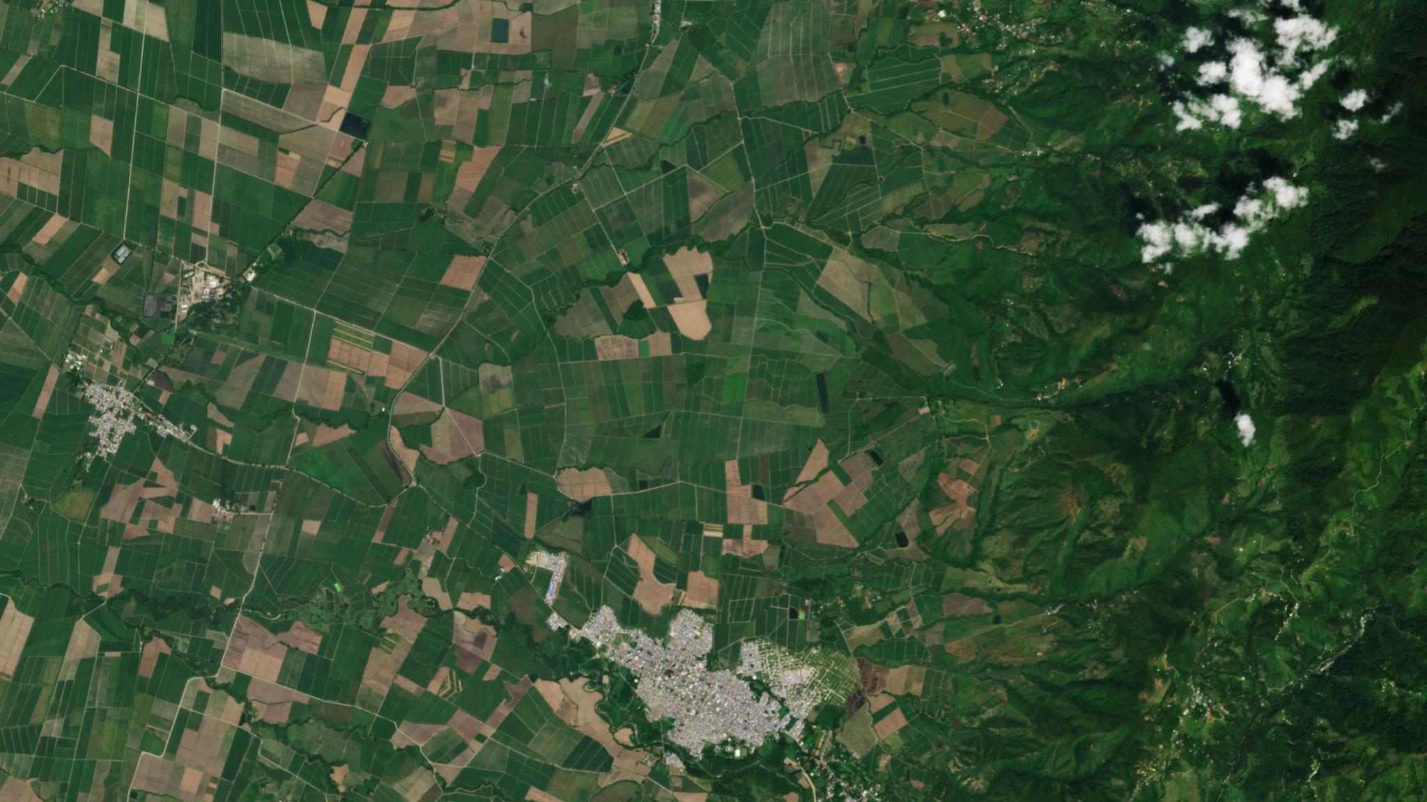
Planet and NAX Deliver Certainty to Sugarcane Growers
Dario Avila Briceno
|
February 24, 2026
|
5 min read
Read more
Stories
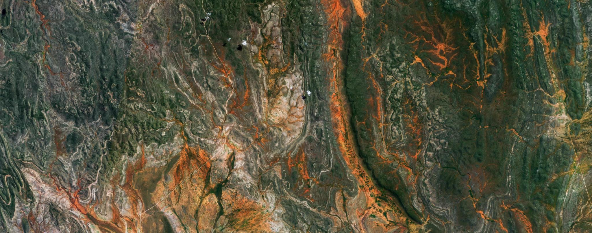
Protecting Endangered Biodiversity with Project Centinela
Seamus Lombardo
|
February 17, 2026
|
9 min read
Read more
News
Accelerating Mission Impact: Announcing Planet’s Defense and Intelligence Advisory Board
Will Marshall
|
February 13, 2026
|
5 min read
Read more
News
Driving Strategic Growth in Europe: Announcing Planet’s European Advisory Board
Will Marshall
|
February 13, 2026
|
7 min read
Read more
View More Posts