ABC, 123: Back to Basics with Planet in 2019
In the spirit of back to school season, we’re going back to basics--reviewing what Planet products have to offer, what you can look forward to in the future, and where to find us in the coming months! Here’s what you need to know:
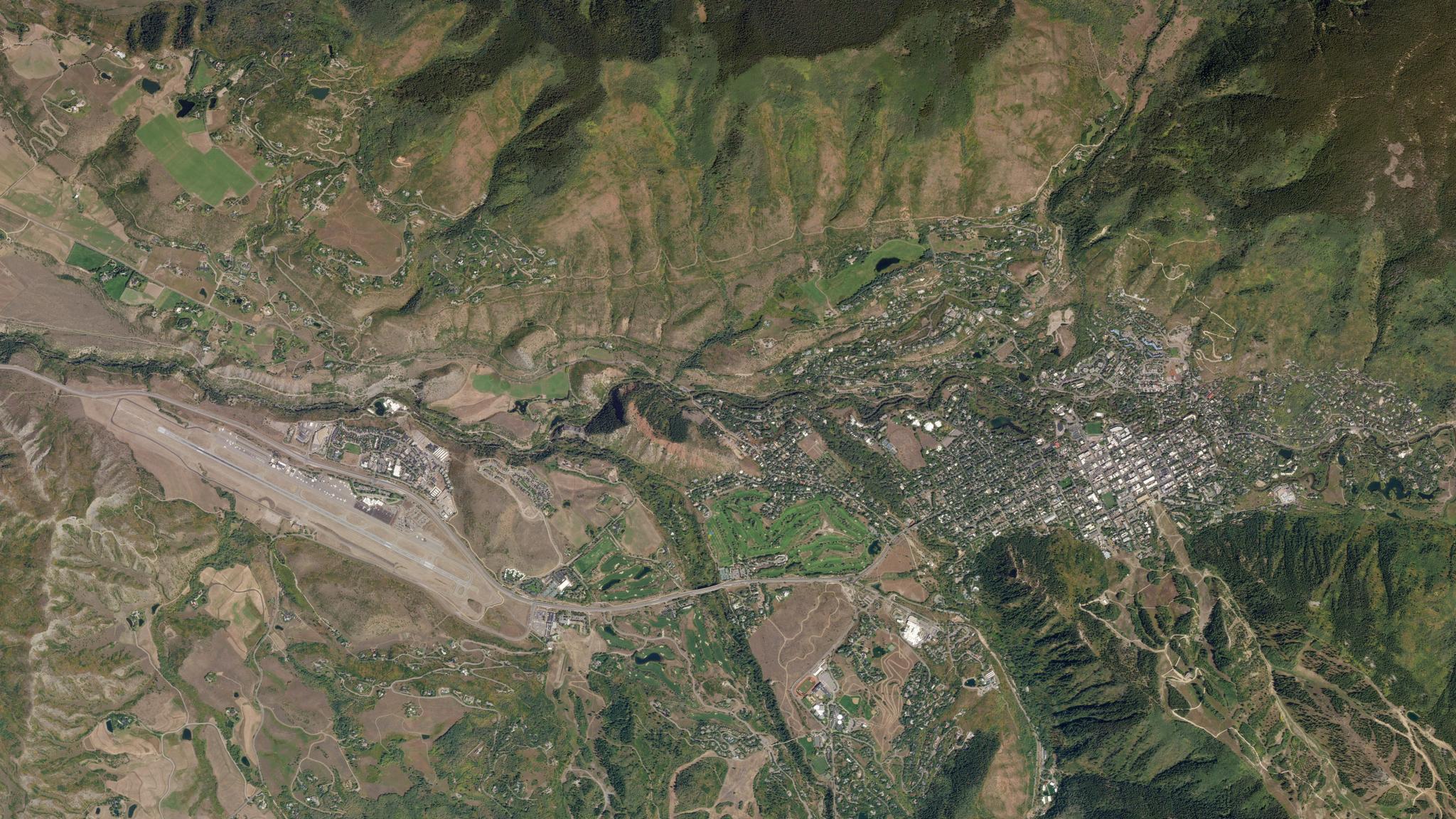
A is for Analytics
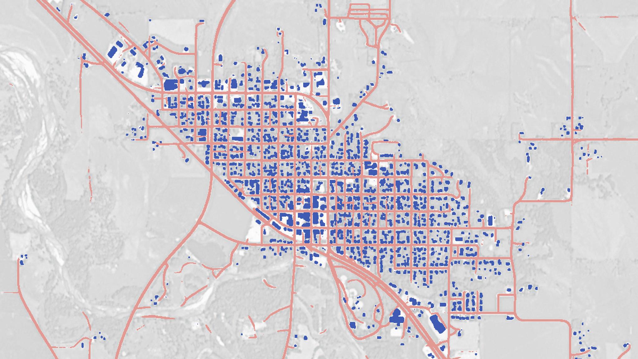
Planet’s high cadence and resolution means we get a snapshot of the world every day. Planet Analytic Feeds take that snapshot and extract valuable information so you no longer need to pore over every pixel searching for insights on a global scale. We currently support road detection, building detection, and ship detection—but stay tuned as we launch new Analytic Feeds and additional capabilities to extract new features from our imagery. [caption id="attachment_144001" align="aligncenter" width="1200"]
B is for Basemaps
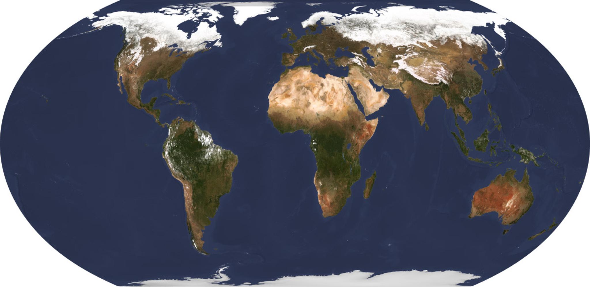
Basemaps aggregate dozens of images over a specific time period into a seamless, cloud-free, and comprehensive view of the Earth - they are one of the foundational solutions Planet offers. Select Basemaps built with our PlanetScope visual imagery provide a true-color look at the globe, including seasonal variations and the latest changes in land use and land cover. Select Basemaps built with our PlanetScope surface reflectance imagery are suited for mathematical analyses, such as calculation of Normalized Difference Vegetation Index (NDVI). Select Basemaps can be made on a quarterly, monthly, or weekly basis, providing a baseline for understanding rapid changes like natural disasters or development of new infrastructure. Planet Basemaps make it easier for our customers to take advantage of our high volume of imagery, empowering them to track the state of the planet since January 2016. [caption id="attachment_144014" align="aligncenter" width="1200"]
C is for Cadence
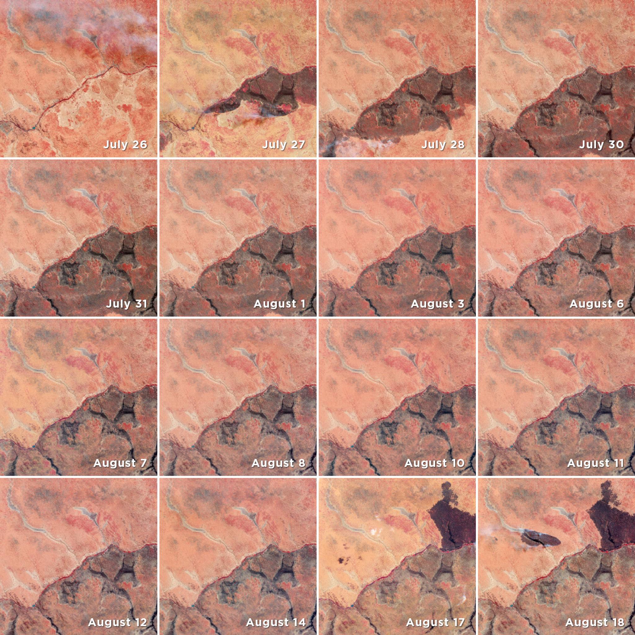
Planet’s high temporal cadence and rapid revisit capabilities deliver a unique, always fresh perspective and unlock new possibilities for time-series analysis of satellite data. Daily imagery at 3.7 meters allows near-real-time monitoring of crops, natural disasters, and global “hotspots.” The high-frequency collections give a fresh view of almost everywhere on Earth—even extremely cloudy areas. Our multi-year archive of daily data even encourages new types of data analysis based on cyclical changes and patterns of life. Planet’s high-resolution SkySat satellites have two overpass opportunities every day for most places on Earth—one in the morning and one in the afternoon. This allows tracking of ships as they arrive at port, rising floodwaters, the comings and goings of aircraft at a busy airport, and other high-speed events. [caption id="attachment_143999" align="aligncenter" width="1200"]
We are your ONE Stop Shop for satellite imagery needs.
In addition to our core Planetscope and SkySat constellations, Planet distributes medium-resolution data from the Landsat and Sentinel programs as well—including both Sentinel-1 (radar) and -2 (optical). Combined, the datasets provide a well-calibrated look at Earth that fits into the larger geospatial ecosystem. These complementary datasets are available through the same modern graphical user interface (GUI) and flexible application programming interface (API) as Dove and SkySat imagery. Additionally, Planet integrates into numerous GIS platforms, including ArcGIS Pro and Harris ENVI. [caption id="attachment_144000" align="aligncenter" width="1920"]
We have TWO resolutions:
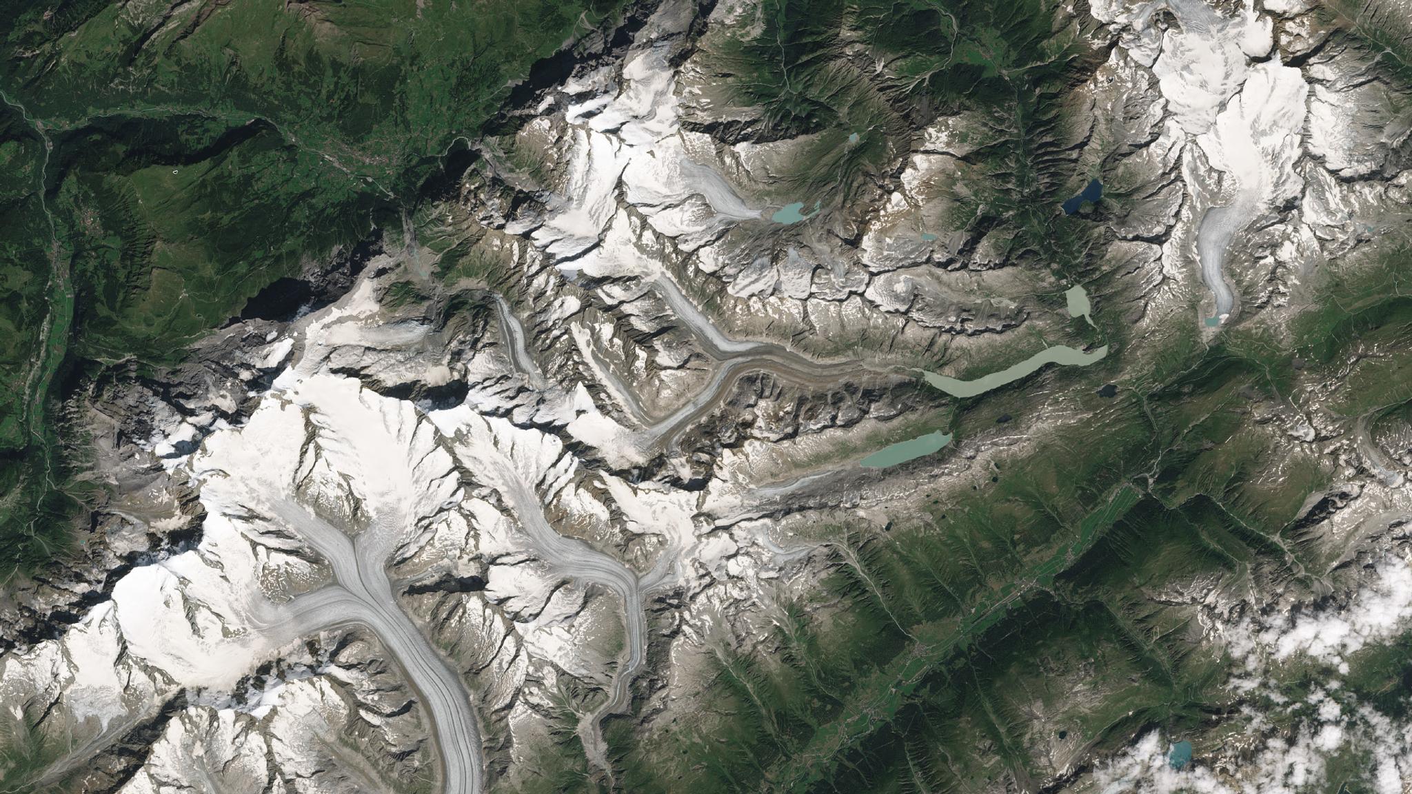
With 150+ satellites in orbit, Planet can image anywhere on Earth daily at 3–5 meter and 72 centimeter resolution—allowing you to monitor your areas of interest, discover patterns, and deliver timely insights. Insights derived from Planet’s data when analyzed at scale deliver crucial market intelligence to decision-makers in sectors ranging from commercial, environmental, humanitarian and more.
There are THREE places to find us this fall:
Explore 19: Thought-provoking keynotes from Governor Gavin Newsom and Philippe Cousteau! Cutting-edge customer use cases! New product announcements! Find all this and more at Explore 2019 this October, Planet’s first-ever user conference. For two days, we’ll be hosting a dynamic, global community who will share their ideas and visions for the future, including industry thought leaders, customers, partners, end users, and developers. Join the conversation to help us further leverage imagery and insights to drive positive change in the world! Register here.NSGIC Conference: From September 23-27, you’ll find Planet at the annual conference of the National States Geographic Information Council (NSGIC), held in Snowbird, Utah. We’ll be attending with the goal of connecting and working with state and local government to further utilize our data in new and interesting ways. Register on NSGIC’s website here. IAC 2019: Planet is attending the 70th International Astronautical Congress (IAC) in Washington DC from October 21-25. On Tuesday, October 22, Planet co-founder and Chief Strategy Officer, Robbie Schingler, will join industry leaders for a panel discussion on combining earth observation data and artificial intelligence to derive unprecedented insights about our ever-changing world. Don’t miss it, register here.

Ready to Get Started
Connect with a member of our Sales team. We'll help you find the right products and pricing for your needs


