Breaking Through Blue Carbon’s Potential: Improving Food Security Through Sustainable Aquaculture

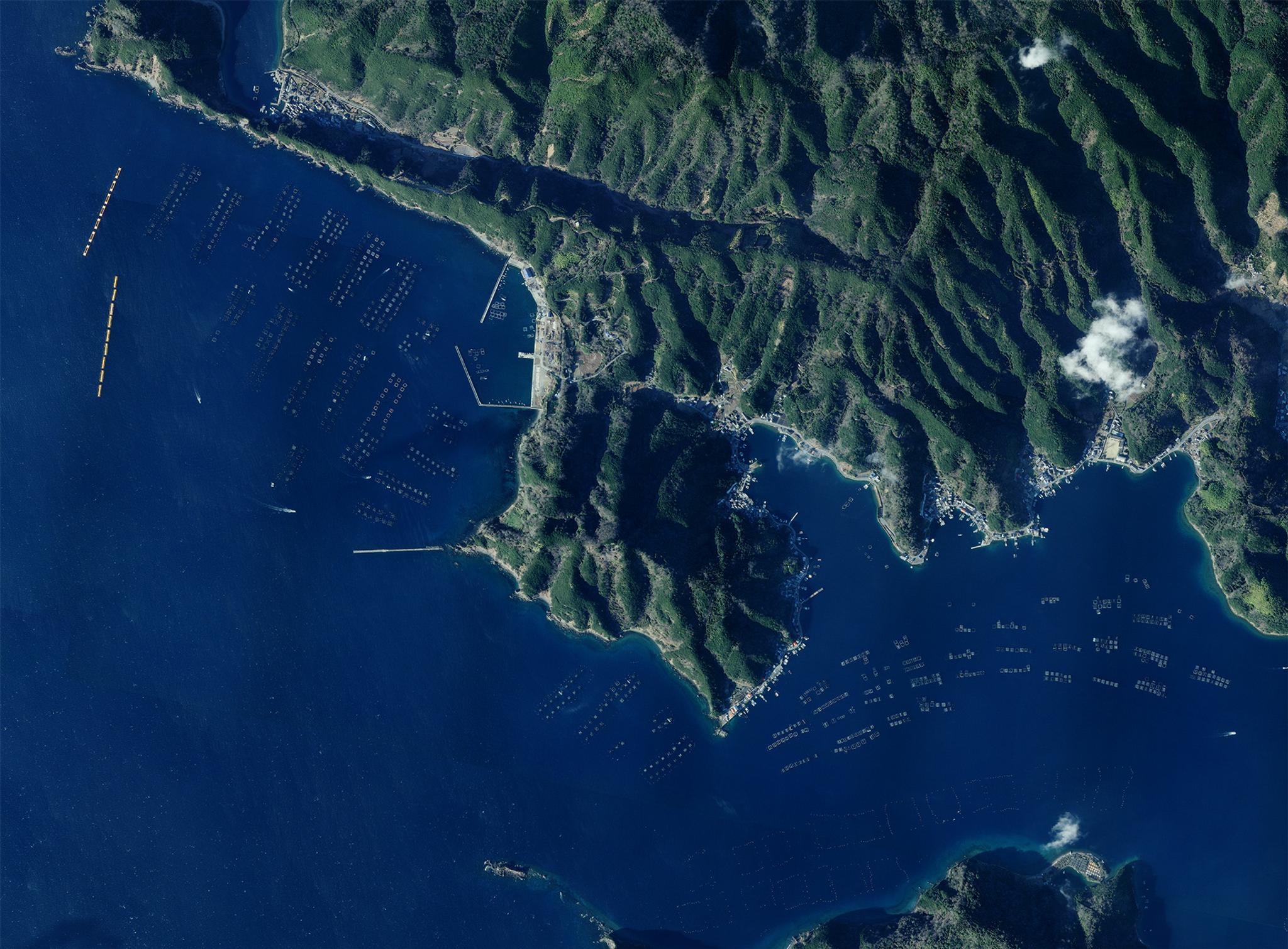
SkySat image of Ehime, Japan taken on February 10, 2022. © 2022 Planet Labs PBC. All Rights Reserved.
StoriesUMITRON breaks through blue carbon’s central role in mitigating climate risks and increasing global food security by mapping blue carbon to build sustainable aquacultures with the help of Planet satellite data.
If Earth contains more water than land, are we maximizing its potential to reduce carbon emissions? Enter blue carbon, nature’s way of removing carbon from the atmosphere and storing it in coastal ecosystems; a natural technology that has been around since time immemorial.
UMITRON, a next-generation deeptech company that develops and provides data platforms to aquafarmers, recognized blue carbon’s potential to advance a food-secure and safer blue planet. They install sustainable aquaculture using their combined expertise in machine learning, IoT, and satellite remote sensing to achieve their vision.
With the vast ocean areas and their restrictions on human activities, mapping blue carbon is not an easy feat. Collecting data is time-consuming, expensive, and labor-intensive. This gap in high-quality functional data affects the industry’s sustainable growth. Aquafarmers have accumulated data from daily operations but are constrained in applying them to actionable insights.
UMITRON’s suite of services focuses on every aspect of the industry’s value chain. This approach led them to focus initially on production-focused solutions such as REMORA and CELL. These solutions tackle vital farming operations like feeding while factoring in the adverse environmental effects of these activities. On a broader level, they have tools such as PULSE, a high-resolution ocean data map with near real-time satellite imagery and historical information on water quality conditions. PULSE utilizes our satellite remote sensing capabilities and UMITRON’s powerful algorithms. This unique combination enhances the aquafarmers’ capacity to monitor surrounding waters and better understand the environmental variability around their coastal farms.
Unlocking Sustainable Aquaculture for Global Impact
While working on a blue carbon estimation project, the UMITRON team needed to identify and monitor seagrass growth in an area measuring 100 km2. They started surveying using drones but the coverage and data collected were insufficient. Therefore, they attempted to create a seagrass map from our satellite data.
Creating an accurate seagrass map proved to be complex and challenging. The frequency of photography is crucial because of several factors like the presence or absence of clouds, the state of the ocean, and the timing of the tides. Apart from that, a high spatial resolution is important to identify and include eelgrass areas. They compared several other platforms before choosing the PlanetScope product because of the high-frequency imagery updates and the quality of satellite images.
With the combined deep data from PlanetScope and advanced AI, UMITRON efficiently rendered a seagrass map. Through this pilot project, the team developed a new method to efficiently locate and map blue carbon sinks in large coastal areas. Using the maps they created, UMITRON was able to successfully estimate the amount of blue carbon and support projects with aquafarmers and operators. As a bonus, the estimated content and maps have been used to uncover previously undiscovered seagrass. They have found that PlanetScope “speeds up the cycle for the creation of eelgrass maps, and hope it will accelerate efforts to increase blue carbon on Earth”.
Read more real-world insights on blue carbon mapping and sustainable aquaculture from UMITRON in "Unveiling Aquatic Mysteries: Charting Blue Carbon with Planet Data."
Ready to create impact but not sure where to start? Connect with us so we can help find the right Planet product for you.

Ready to Get Started
Connect with a member of our Sales team. We'll help you find the right products and pricing for your needs.

