
Rapid Response to Ripple Effects of COVID-19: Food Security in Togo
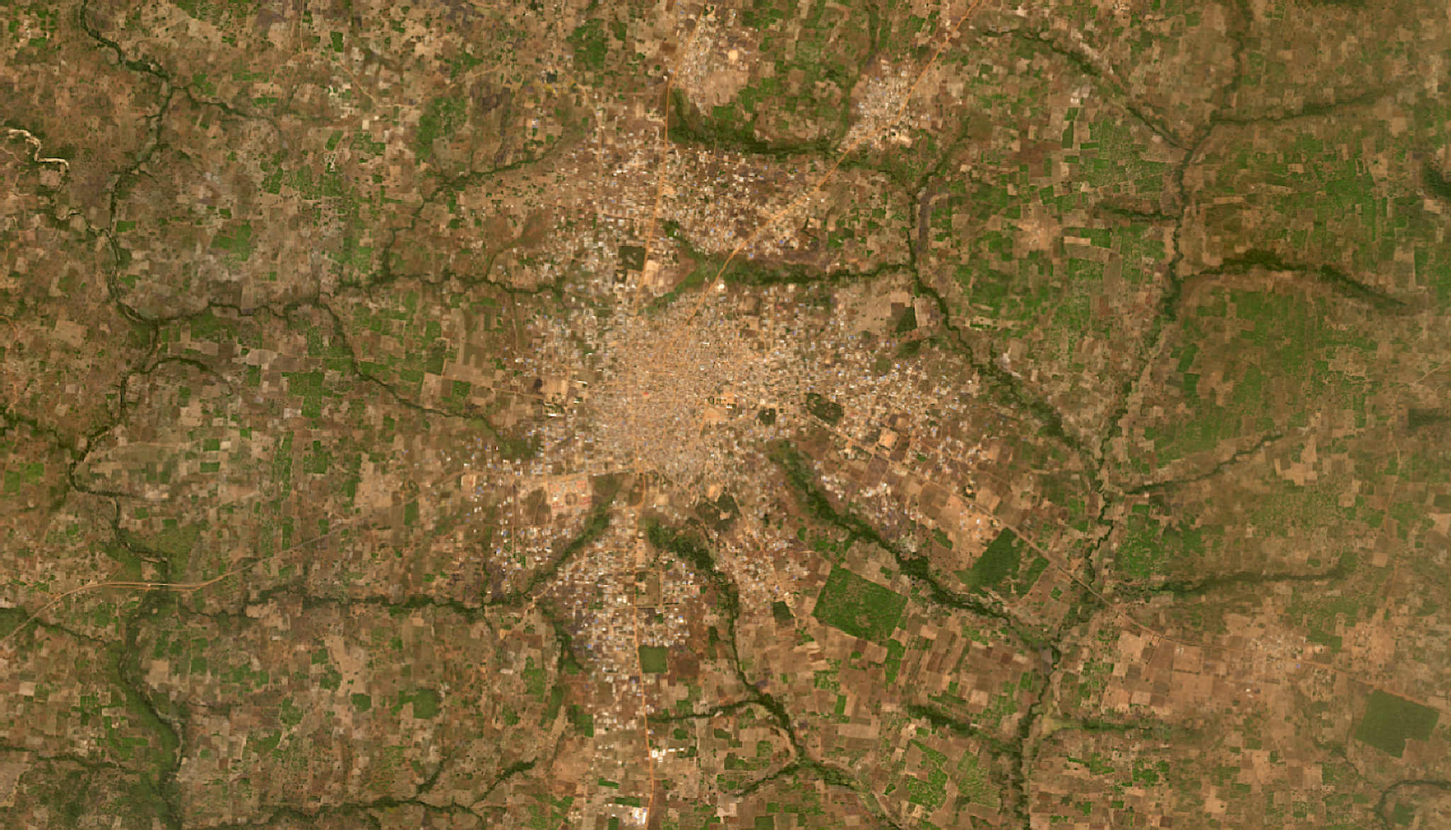
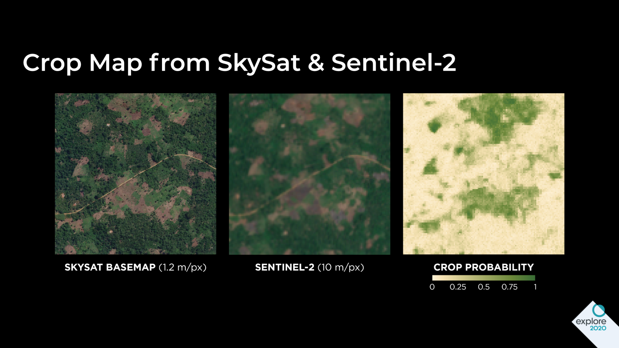
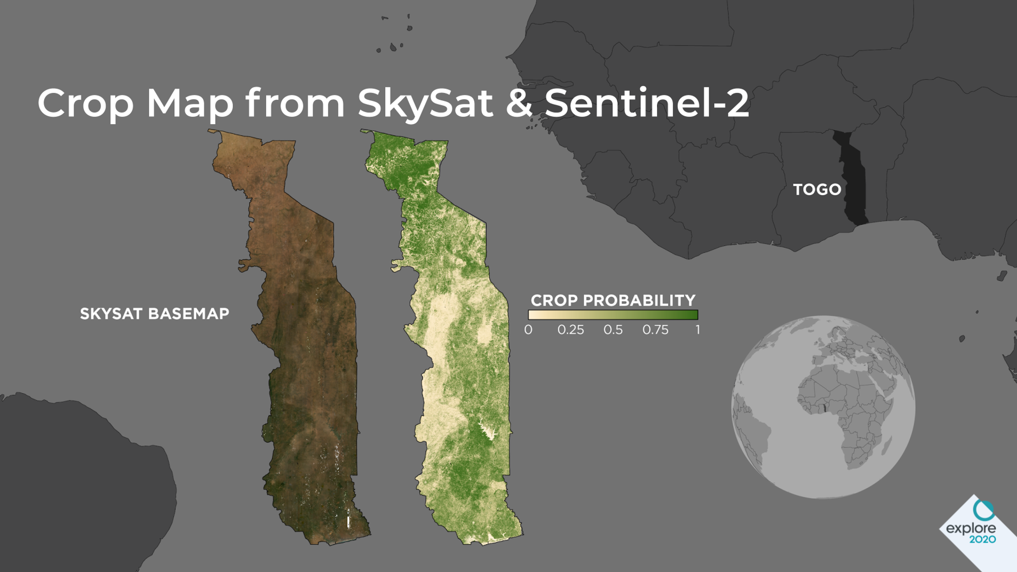
The COVID-19 pandemic has had far-reaching effects on not only human health, but also economic impacts around the world due to the severe disruption of our daily lives. Individuals in regions where smallholder farms comprise most of the agricultural production sector, such as many sub-Saharan African countries, are at greater risk of economic and food insecurity due to disruptions to supply chains and local food markets. However, up-to-date, and high-resolution spatial information about croplands (often called cropland or crop type maps) are often lacking in these regions, making it difficult for governments to locate farmers and assess food security and production. Planet, in partnership with NASA Harvest, NASA’s Food Security and Agriculture Program, run out of the University of Maryland (UMD), aims to enable and advance the adoption of satellite Earth observations to benefit food security, agriculture, and human and environmental resiliency, which has become increasingly necessary in the midst of COVID-19. NASA Harvest scientists recently supported the Government of Togo in their innovative COVID-19-related food security relief efforts by creating a cropland map, at 10-meter resolution, of the entire country. One of the West African nation’s efforts is “YOLIM” an interest-free digital loan program designed to boost food production across smallholder farms by funding the cost of farming essentials, and providing access to an e-wallet which qualified growers can use to withdraw funds towards fertilizers, pesticides or renting tractors. The Togolese Government is also experimenting with ways of utilizing the maps within the context of its flagship social protection program “NOVISSI” which is a digital cash transfer scheme aimed at providing a social safety net for vulnerable groups affected by the COVID-19 pandemic. Their aim here is to understand which communities have significant concentrations of smallholder farming activities for critical crops. These areas could then be prioritized for cash transfers under the program or may be included in a dedicated social protection campaign to protect farmers from shocks triggered by the pandemic which may negatively impact national food security. This is where satellite data can help fill in the gaps. Thankfully, NASA Harvest maps derived from satellite data alongside poverty and census data are providing more complete insights instrumental to identifying priority areas rapidly and effectively, where programs like YOLIM and NOVISSI have the most impact. The map produced by NASA Harvest “provides unmatched clarity into the nature and distribution of agricultural land nationwide,” states Cina Lawson, Minister of Posts, Digital Economy, and Technological Innovation of Togo. “On top of this map, we are overlaying data from poverty maps that we have developed in collaboration with UC Berkeley’s Data-Intensive Development Lab and Innovations for Poverty Action (IPA). Together, they provide decisive knowledge being used to design social protection policies aimed at improving the livelihoods of agrarian rural communities." [caption id="attachment_146039" align="alignnone" width="1920"]
Ready to Get Started
Connect with a member of our Sales team. We'll help you find the right products and pricing for your needs