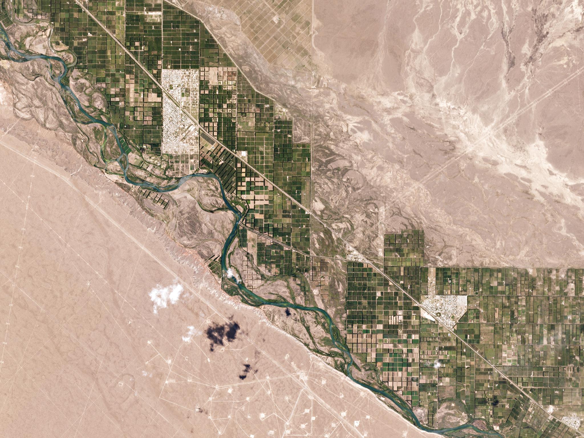
GeoAgro: Helping crops flourish with satellite data in South America and beyond
Meet GeoAgro—the smart farming software company based in Rosario, Argentina that offers agricultural technology and analysis to help farmers make smarter decisions, boost yields, and enhance sustainable farm practices. In some cases, they’re able to cut scouting visits to field by 30%. Their secret input? Data from space. GeoAgro pulls Planet’s frequent imagery into their products and services. With the now largest constellation in operation, Planet and GeoAgro will enable farmers to access the most recent satellite imagery available. Better yet—in capturing more imagery more often, Planet can ensure capture of timely, cloud-free imagery. “With our previous imagery sources, we had to base our services on providing one image every 16 days,” says Ed Di Pollina, GeoAgro’s Director and Co-founder. “But those two monthly updates were dependent on clear conditions. If there were heavy clouds, a month could go by before we had updated views. During that time, problems such as crop disease might go undetected and become much worse.” This data depth and breadth helps GeoAgro expand their line of products and services, and grow operations in new markets. “We are growing rapidly in South America and are now expanding to South Africa,” says Di Pollina. “We are also offering weed detection services and are monitoring new types of crops such as apples, oranges, and pears, all of which require higher resolution than we previously had available.”
Fields change day-to-day over a growing season</font size= "-1">We here at Planet are excited to continue to build and pilot new agricultural services with our partner, GeoAgro. See more work we’re doing with GeoAgro—check out the full success story. Learn more about Planet Monitoring for Precision Ag and to apply for a Free 14-day trial.

Ready to Get Started
Connect with a member of our Sales team. We'll help you find the right products and pricing for your needs


