
Protecting Queensland’s Natural Resources with Satellite Imagery
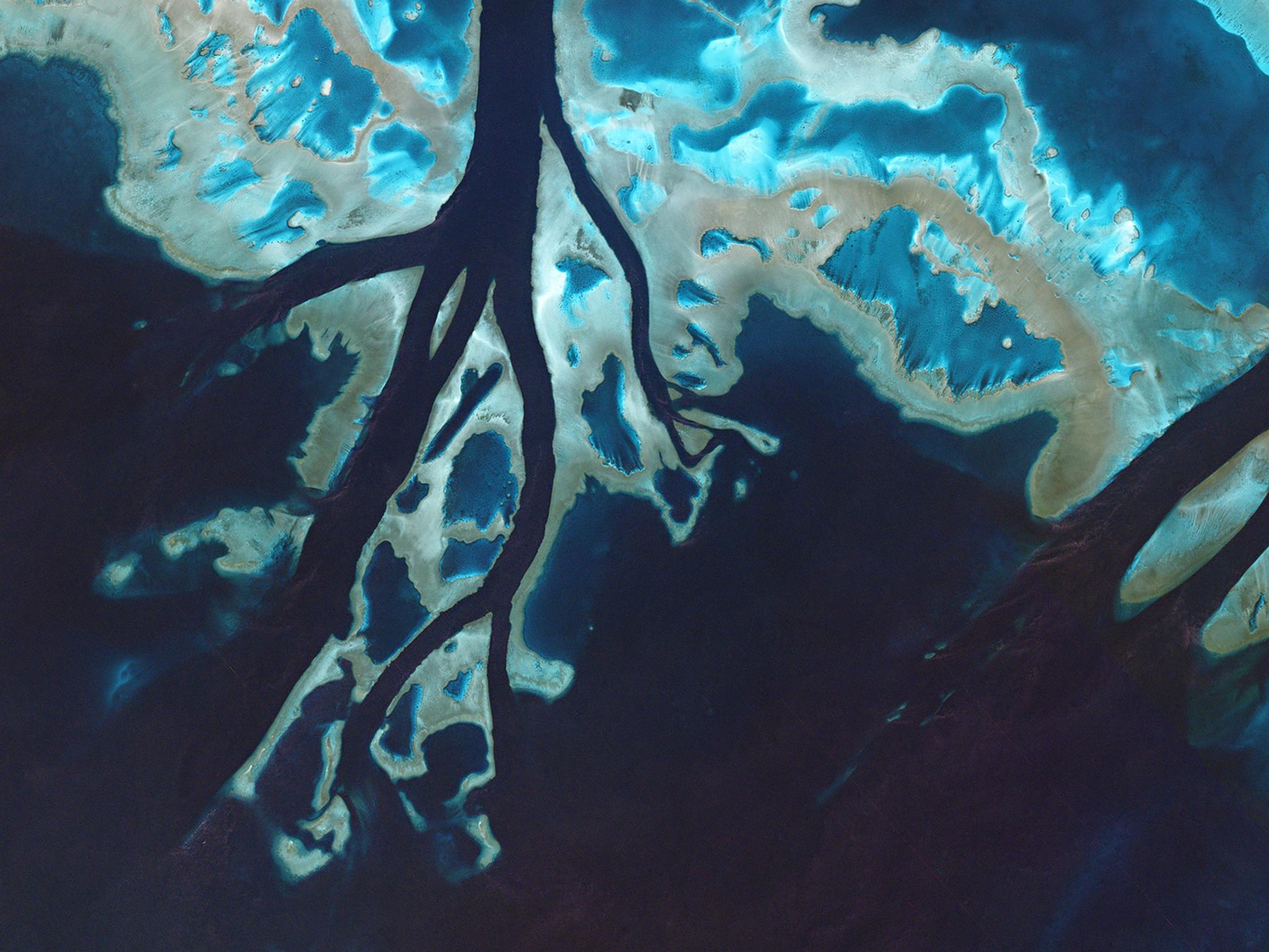
Tidal channels cut through an unnamed portion of the Great Barrier Reef off the coast of Queensland.
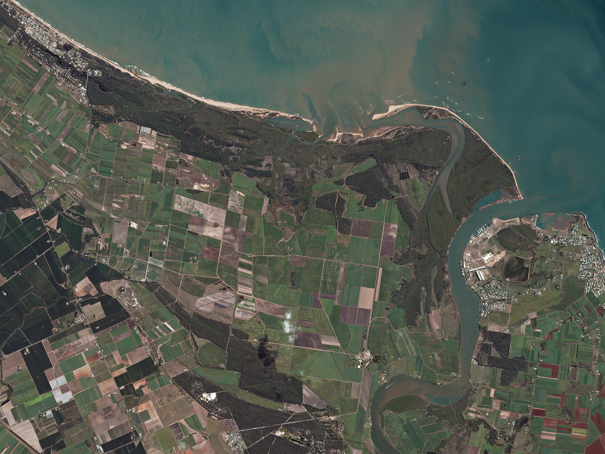
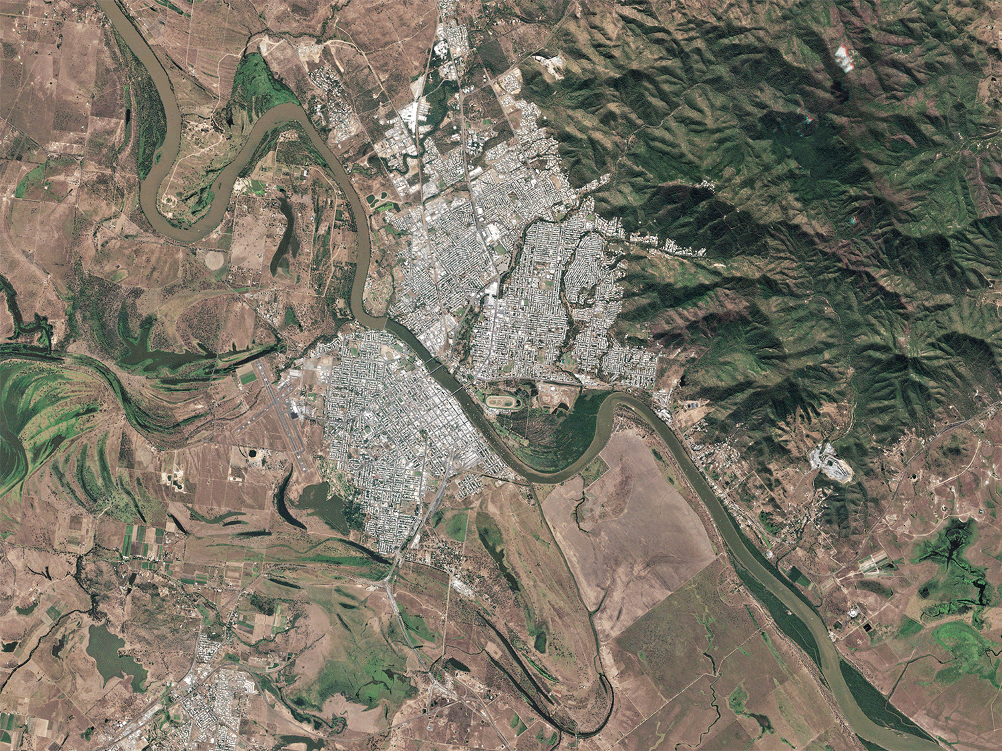
StoriesQueensland is home to nearly 5 million citizens and some of the earth’s most delicate ecosystems. At 1.8 million square kilometers, the region contains rare earth resources, unique biodiversity and sensitive coastlines neighboring the Great Barrier Reef. Protecting this vast natural landscape is the challenge of Queensland’s Department of Natural Resources and Mines (Department of Resources) to manage. To complement field practices, the Department of Resources turned to satellite imagery to monitor regions of the state.
Bringing recency and reliability to satellite imaging
For years, the Department of Resources relied on annual satellite imagery updates of large regions of the state, often delivered via external hard drive for processing. This led to delays in image analysis, creating critical gaps in information and lags in time-sensitive responses by resource managers. The department recognized the potential to modernize their approach to satellite imaging as a primary tool for monitoring resources, and turned to mapping and GIS specialists NGIS for help. To build timely and accessible solutions NGIS looked to Planet’ high-cadence imaging and cloud-based delivery. Having consistent and current satellite imagery can greatly improve Department of Resources’ land management practices; Planet’s automated data pipeline offered a fast, reliable cloud infrastructure to the department, and proved recent and complete coverages of the entire state.
Monitoring to understand and protect interconnected ecosystems
Ready to Get Started
Connect with a member of our Sales team. We'll help you find the right products and pricing for your needs