
Leveraging Daily Satellite Imagery for Advanced Geospatial Analytics: A Practical Guide
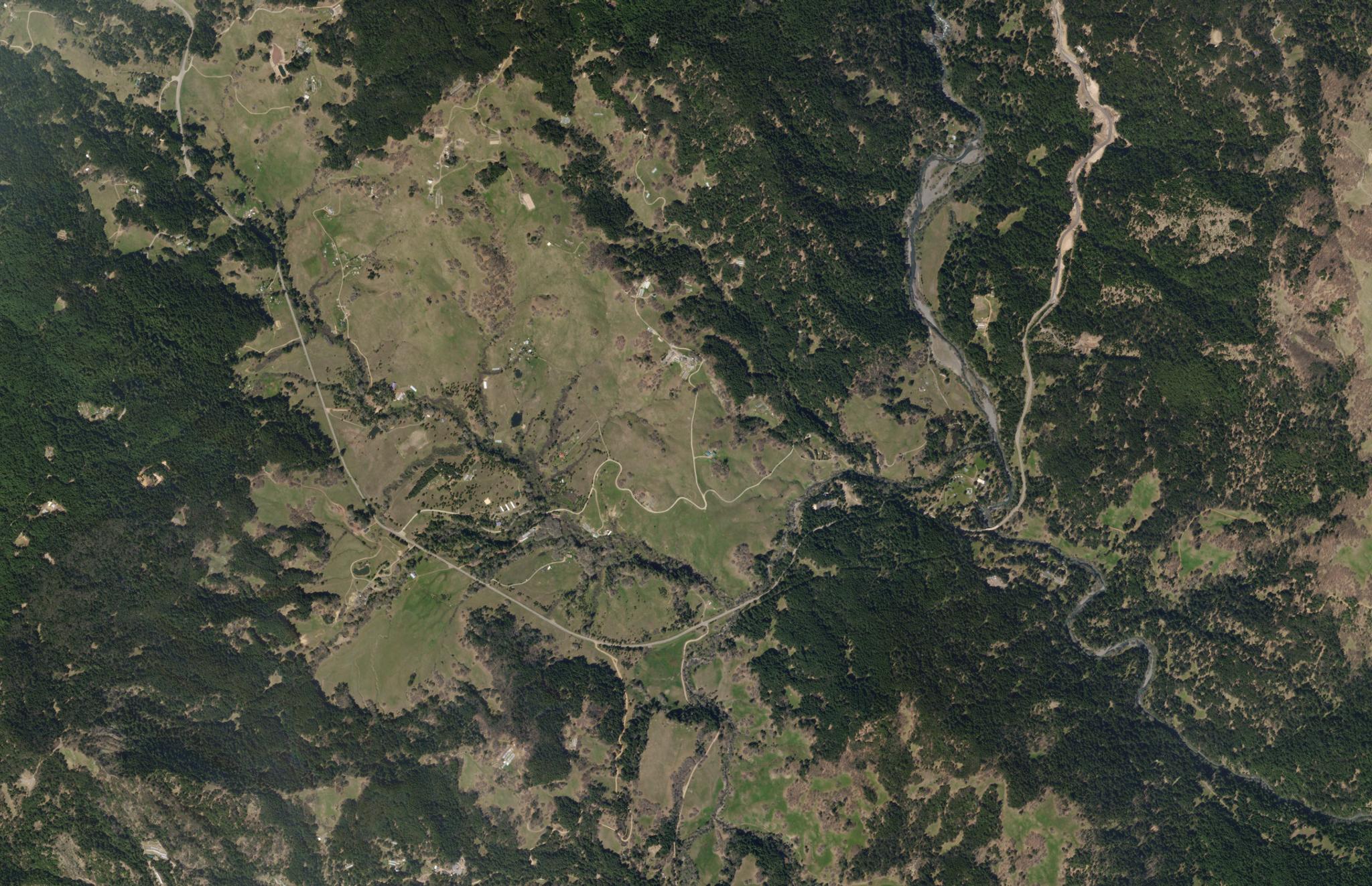
SkySat image of Humboldt County, California captured April 24, 2019. © 2019 Planet Labs PBC. All Rights Reserved.
TechTraditional methods of geospatial data collection, like field surveys and aerial imagery, are costly, labor-intensive, and often outdated. Advancements in satellite technology provide near-daily, accurate data, enabling organizations to conduct efficient geospatial analysis for better decision-making, from land management to disaster recovery.
Not long ago, government agencies and businesses relied on older, more complex methods to gather geospatial data. These traditional approaches included a range of manual and on-site collection methods—such as field surveys and direct measurements, often referred to as “boots on the ground.”
Additionally, aerial views were obtained by taking pictures from planes. But these methods were not without significant challenges—they were expensive, difficult to manage, and didn’t always provide accurate or up-to-date information.
Collecting data in remote areas was particularly onerous, with teams facing harsh conditions and logistical hurdles. Moreover, acquiring cloud-free imagery was often difficult, leading to incomplete or unusable data. The manual nature of these efforts also made them time-intensive and, at times, risky for those involved.
Thanks to commercial satellite imagery, organizations can access current, reliable images of the Earth’s surface today. These near-daily images allow companies and agencies to simplify access to geospatial data for new and deeper insights.
This article will explain how daily satellite imagery and geospatial analytics work and how they can benefit your organization. By understanding these tools, you’ll be better equipped to make informed decisions that impact business operations and policy outcomes.
Deepen Your Understanding of Geospatial Analytics
Geospatial analytics involves using geographic information systems (GIS) to manage and analyze satellite images and other geographic data. This allows organizations to gain insights about specific locations and activities on Earth. By combining data from various sources within a GIS, organizations can create detailed analyses that guide decision-making and operations.
Geospatial analytics brings together different types of geographic, spatial, and location data to provide insights into environmental changes and human activity. In the past, these insights were hard to get because traditional methods were expensive and complicated.
Now, with advancements like commercial satellite imagery, geospatial analytics is much more accessible. Organizations can easily access both historical and current satellite data, request new images, and combine this information with other data sources to make informed decisions—all without the high costs and challenges of the past.
Types of Satellite Imagery: Tailoring Data to Your Needs
When performing geospatial analysis, the choice of satellite imagery or data source plays a critical role in the quality and effectiveness of the insights you generate. Here’s how different types of imagery can be used:
- Free satellite imagery: Sourced primarily from government satellites, free imagery provides a cost-effective entry point for organizations. However, these images often have limitations, such as lower resolution and less frequent updates, which can result in analysis gaps. This option may not meet the demands of projects requiring high-precision or frequently updated data.
- Commercial satellite imagery: Commercial providers like Planet offer high-frequency, high-resolution imagery with near real-time updates captured by constellations of satellites in low Earth orbit (LEO). This type of imagery is ideal for applications requiring detailed, up-to-date information, such as disaster recovery, land use verification, or environmental monitoring. The ability to task satellites for specific capture requests ensures organizations receive the exact data they need precisely when needed.
Key Data Sources for Geospatial Analysis
Geospatial analysis uses diverse data sources to provide insights across industries like environmental monitoring and urban planning. Key sources include:
- Satellite imagery: Offers broad, up-to-date views of Earth's surface, tracking changes like deforestation and urban growth. It is widely available through platforms like NASA's Landsat or ESA's Sentinel.
- Field data: Provides ground-level verification of satellite data, crucial for localized details such as soil conditions or water quality.
- Remote sensing: Utilizes specialized sensors to capture data beyond the visible spectrum, such as temperature and vegetation health, supporting detailed environmental monitoring.
- Public information: Open-source data from governments and institutions, like maps or demographic stats, enhances geospatial datasets.
- Non-satellite alternatives (e.g., drones): Drones offer high-precision data for localized tasks like surveying or disaster assessment, complementing satellite imagery.
Satellite imagery and remote sensing are the most valuable sources, offering comprehensive, real-time data for disaster management and resource exploration applications. Combining them with field data and other sources ensures accurate, multi-layered analysis.
Practical Applications of Daily Satellite Imagery
Daily satellite imagery is particularly valuable for compliance monitoring, disaster recovery, and land management.
For example, Slovenia’s ARSKTRP agency used Planet satellite data to improve their agricultural assessments, reducing the number of inconclusive assessments by 73% and saving over €1 million in the process.
Similarly, the New Mexico State Land Office used satellite imagery to identify land trespassers and establish new leases, resulting in $4.3 million in additional revenue.
Discover more about how satellite imagery is used for environmental monitoring in this article about measuring global streamflow with Planet imagery.
Tools and Techniques for Geospatial Analytics
Organizations rely on a combination of robust Geographic Information System (GIS) platforms and effective integration techniques to harness the full potential of geospatial analytics. These tools and techniques enable the seamless combination of satellite imagery with other data sources, facilitating detailed analysis and actionable insights.
GIS Software: Choosing the Right Platform
Selecting the right GIS software is critical for effective geospatial analysis. Below are two of the most popular GIS platforms, each catering to different needs:
- ArcGIS:
- Industry-standard: Developed by Esri, ArcGIS is widely recognized as the industry leader.
- Comprehensive tools: Offers a full suite of advanced tools for detailed spatial analysis, complex mapping, and large dataset management.
- Professional support: Comes with extensive support and additional modules for enhanced functionality.
- Paid license: Requires a commercial license, which might be a barrier for smaller organizations or those with limited budgets.
- Best for: Users who need a feature-rich environment and are willing to invest in professional-grade software.
- Industry-standard: Developed by Esri, ArcGIS is widely recognized as the industry leader.
- QGIS:
- Open-source: A free alternative to ArcGIS, offering a wide range of geospatial analysis features.
- Cross-platform: Supports multiple operating systems, making it accessible to a broader audience.
- Community-driven: Lacks formal support but has a vibrant user community and a large repository of plugins for extended functionality.
- Cost-effective: Ideal for organizations seeking a no-cost solution for most geospatial tasks without the need for a commercial license.
- Best for: Users looking for a flexible, cost-effective solution that can handle standard geospatial analysis tasks.
- Open-source: A free alternative to ArcGIS, offering a wide range of geospatial analysis features.
Data Integration: Enhancing Geospatial Analysis
Integrating satellite imagery with other data sources is crucial for comprehensive geospatial analysis. Here's how organizations can do it effectively:
- Combining data sources: Successful geospatial analysis often begins with high-resolution satellite imagery as the foundational layer. Integrating this imagery with other datasets—such as field data, remote sensing information, and public data—creates a more complete and nuanced view of the area being studied. For instance, combining satellite images with ground-level data can significantly enhance the accuracy of land use assessments or environmental monitoring efforts.
- Preprocessing techniques: Before conducting analysis, it is crucial to preprocess your data to ensure it is clean, accurate, and ready for integration. This process involves correcting errors, aligning different data layers to a common coordinate system, and converting data into formats compatible with your GIS platform. Proper preprocessing lays the groundwork for reliable and effective analysis. Additionally, Planet offers preprocessed or derived data products known as Planetary Variables. These datasets are ready for immediate use and provide high-quality, scientifically validated variables to simplify data preparation.
Best Practices for Geospatial Analysis
- Ensure accuracy: Start with precise data and maintain consistency across all sources.
- Stay updated: Use the most current data available, especially in dynamic environments.
- Think scalability: Choose tools that can grow with your project’s needs.
- Facilitate collaboration: Opt for platforms that support easy collaboration and data sharing.
The Future of Geospatial Analytics
As more organizations adopt geospatial analytics, the potential for new applications and insights will continue to grow. With Planet’s leading satellite technology, organizations can stay at the forefront of this exciting field, leveraging the most advanced tools and data available.
Contact Planet today to learn more about the new insights and analysis-backed guidance your organization can achieve with commercial satellite imagery.
Ready to Get Started
Connect with a member of our Sales team. We'll help you find the right products and pricing for your needs.