
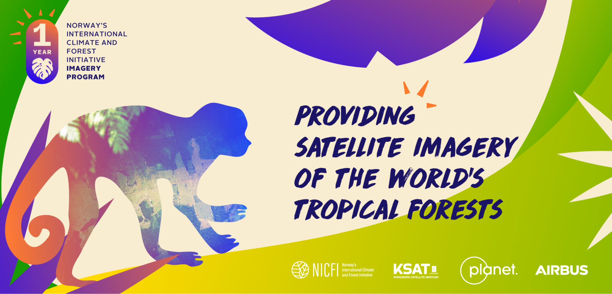
High-Res for Tropical Forests: Celebrating One Year of the NICFI Data Program
Each quarter we publish a blog post highlighting the innovative ways participants in the NICFI Satellite Data Program are putting Planet data to work to help reduce and reverse tropical forest loss - whether that’s through government action, private sector adoption, or NGO coordination. This quarter, we are excited to once again highlight the actions of our users - and also to celebrate one year of the program and its impact to date. In September 2020, the Norwegian Ministry of Climate and Environment awarded Kongsberg Satellite Services (KSAT), who, in partnership with Planet and Airbus, have since been providing comprehensive access to high-resolution satellite monitoring of the tropics to help reduce tropical deforestation and combat climate change.
- The European Space Agency and Gisat presenting on how their team is combining the NICFI-Planet Basemaps with the SAR band of Sentinel-1 to improve deforestation detection and carbon mapping in the Amazon;
- The Government of Uganda sharing more on how their team, in partnership with the United Nations, is using the NICFI-Planet Basemaps to improve its Measurement, Reporting, and Verification to the United Nations Framework Convention on Climate Change;
- PepsiCo discussing how it is leveraging the NICFI-Planet Basemaps via Global Forest Watch Pro to begin incorporating satellite monitoring into their environmental impact assessments in sourcing regions.
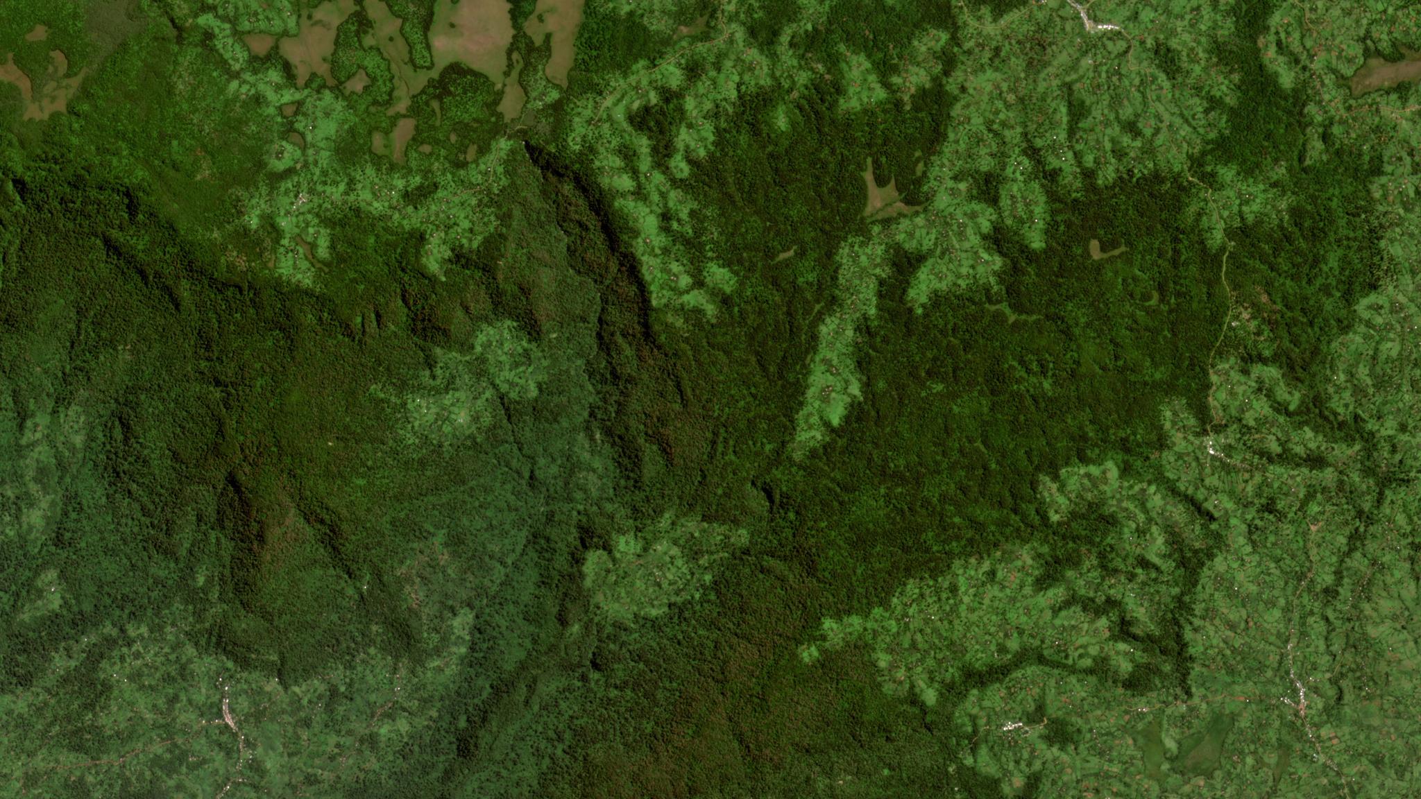
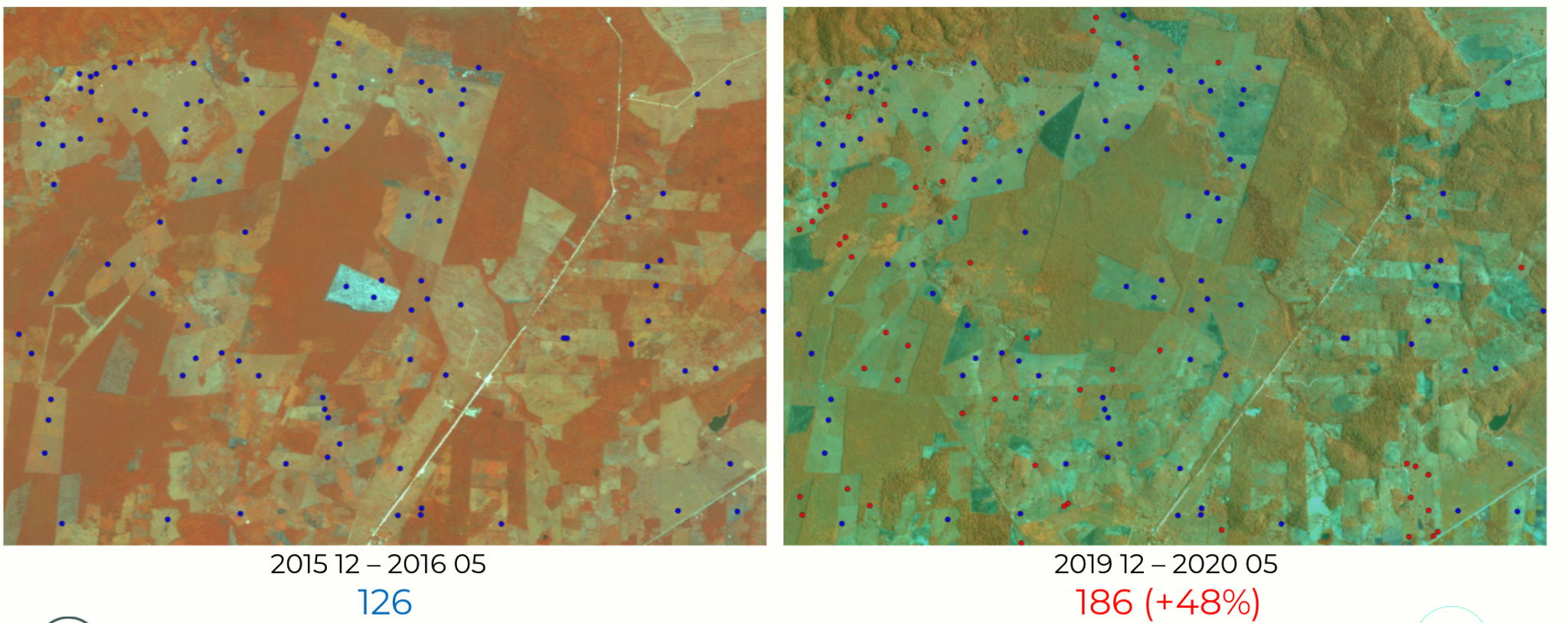
- The Wildlife Conservation Society and National Council for Protected Areas in Guatemala showing how they are using the Planet-NICFI Data to detect and intervene on illegal deforestation in the Maya Biosphere Reserve. The number one driver of deforestation in the Reserve is cattle ranching, and the high resolution Planet data allows them to detect ranching infrastructure and illegal conversion to pastureland.
As we move into Year Two of this program, we are excited to see our partners and users continue to innovate on how to leverage high-resolution satellite monitoring to reduce and reverse tropical forest loss and combat climate change. This is core to Planet’s mission, and we’re glad our data can help. If you are attending COP26 in-person next week, we’d love to have you join us for an evening of programming and discussions with Planet, KSAT, Airbus, and Norway’s Ministry of Climate & Environment. Register here. Here is the comprehensive user guide on how to access the program’s data.
Ready to Get Started
Connect with a member of our Sales team. We'll help you find the right products and pricing for your needs.