
How Satellite Imagery Can Help Predict Volcanic Eruptions
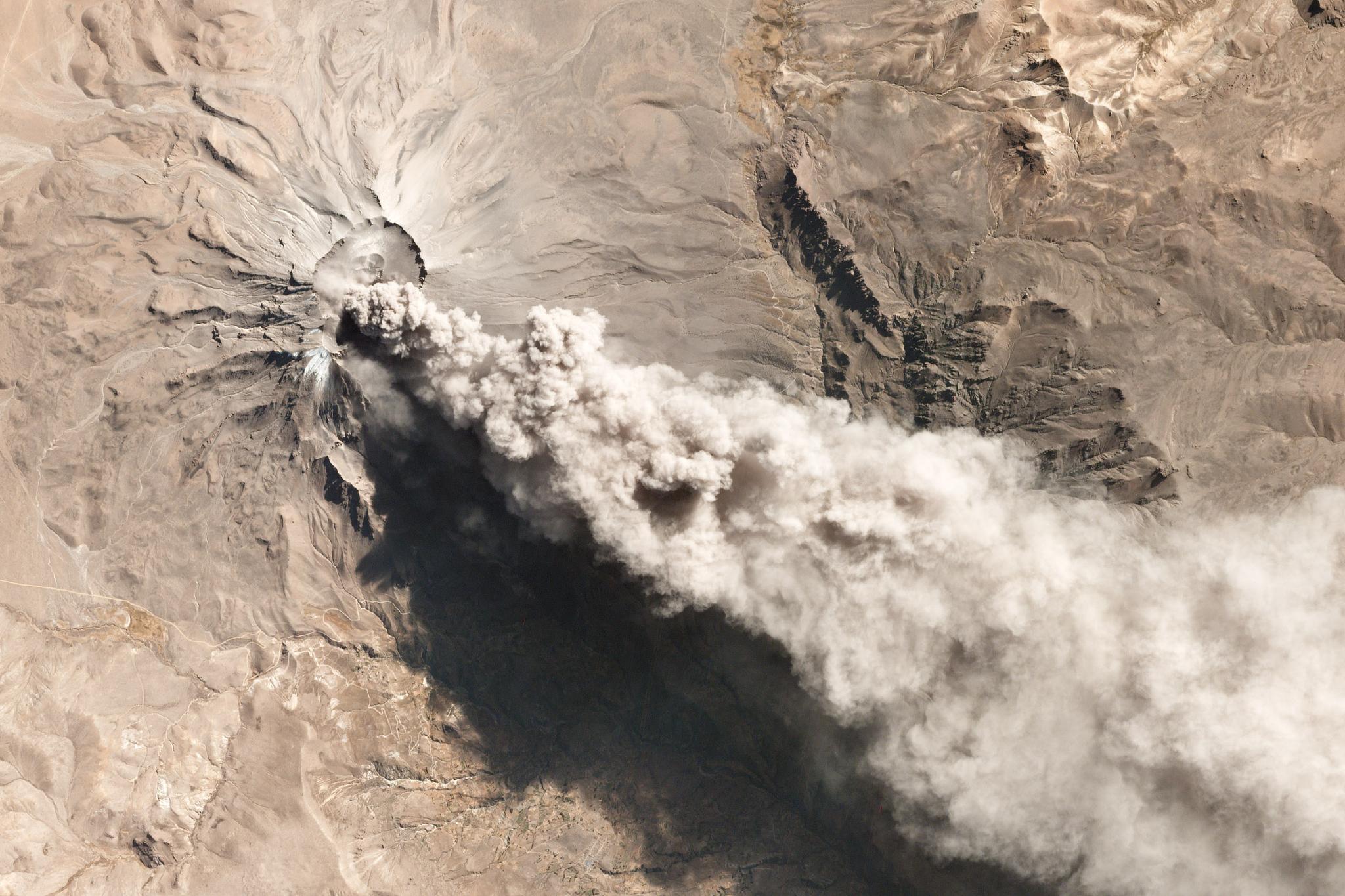
On July 22, 2019, Planet’s satellite constellation captured one of a series of explosions that cast ash up to 6,500 meters (21,000 feet) above Ubinas Volcano, and as far away as Bolivia. © 2019, Planet Labs Inc. All Rights Reserved.
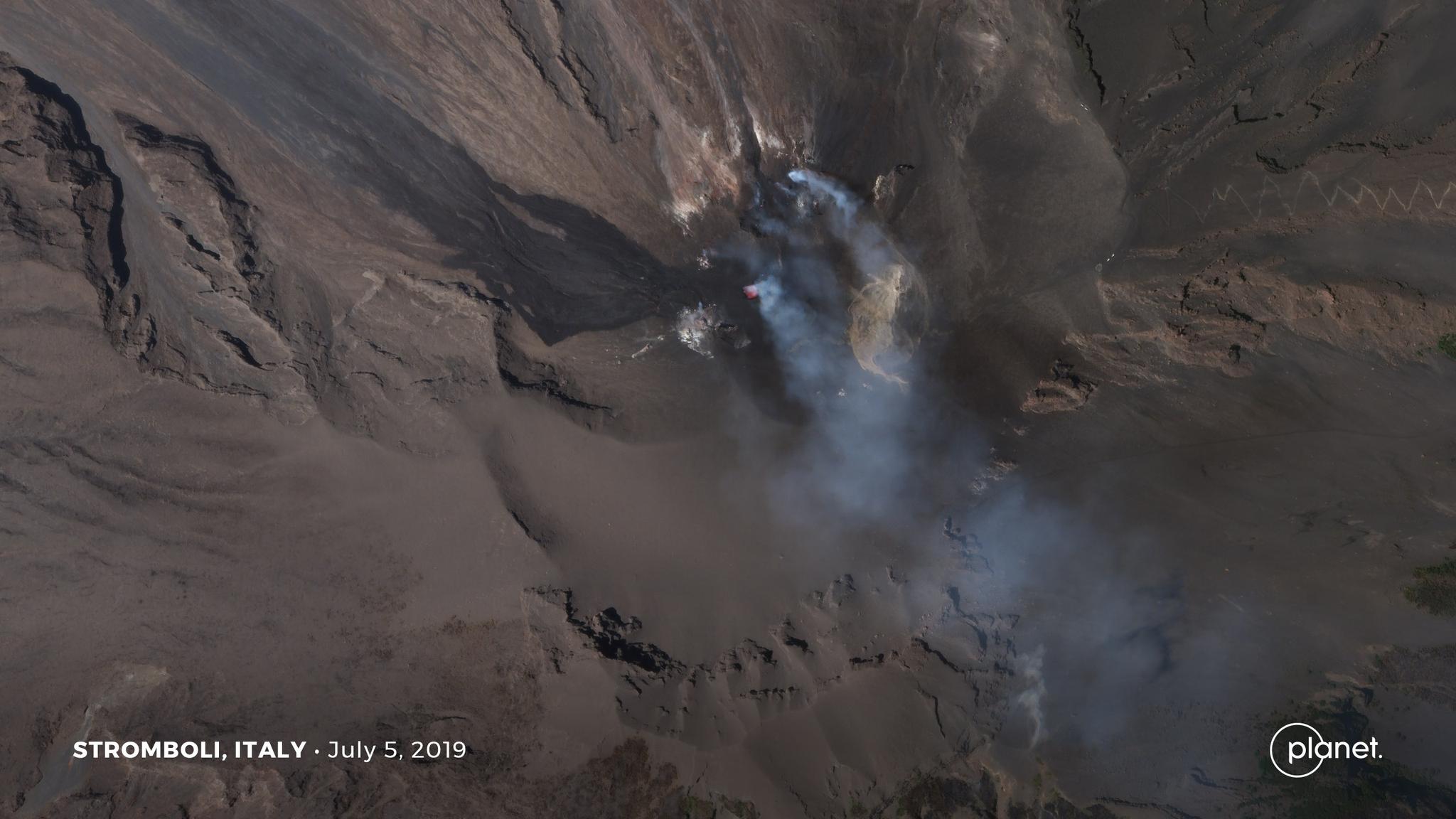
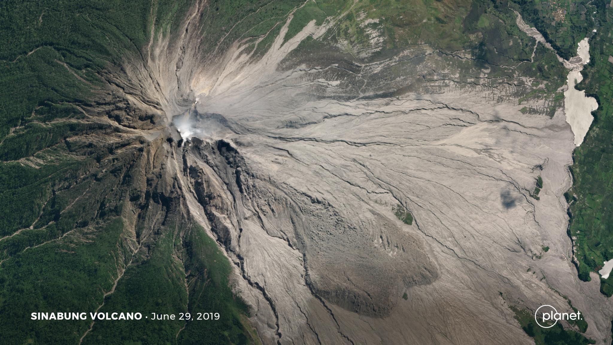
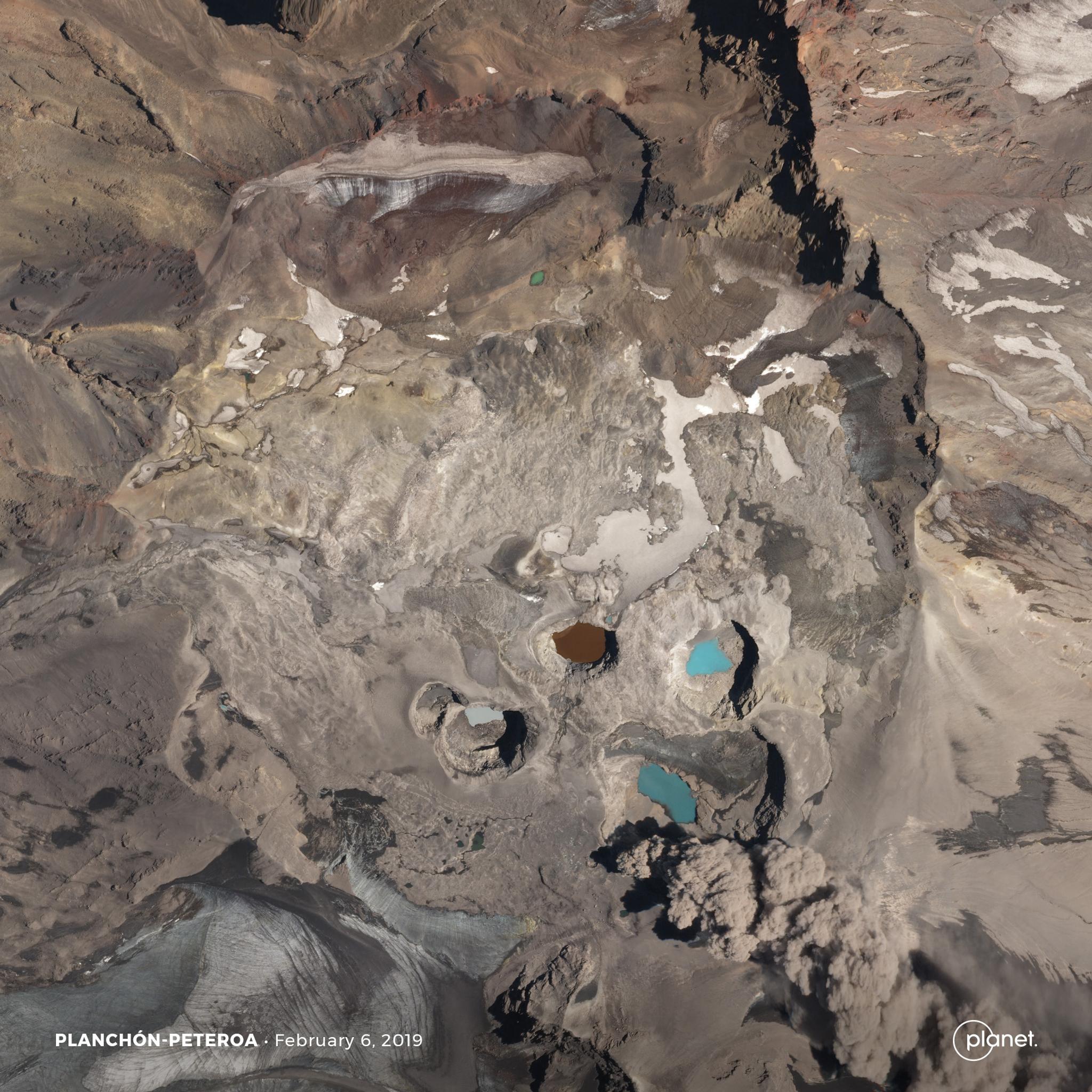
TechRecently, the Ubinas volcano erupted in Peru, leading to the evacuation of thousands due to explosions and ash. And earlier this month, the Stromboli eruptionkilled one hiker and caused vegetation to catch fire. Both instances are a sobering reminder that volcanic activity can wreak havoc on surrounding areas.
But while it’s impossible to prevent eruptions, we may be able to better predict volcanic eruptions, prepare for them and reduce impending destruction.
.
.
.
.
Ready to Get Started
Connect with a member of our Sales team. We'll help you find the right products and pricing for your needs.