
Hurricane Dorian, Amazon's Burning Forests, the Iranian Rocket Launch and More
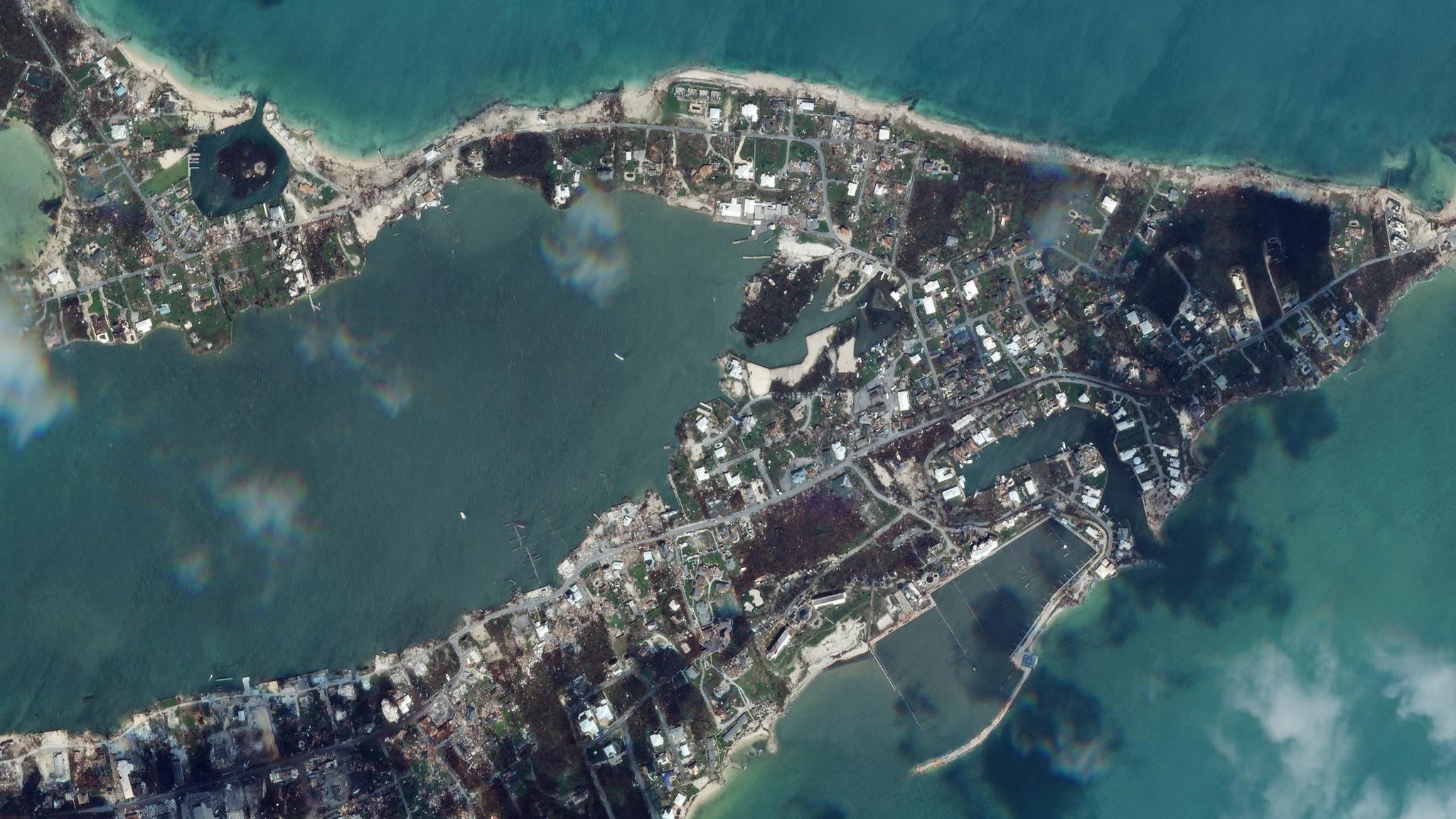
Satellite image of Marsh Harbour after being struck by Hurricane Dorian © 2019, Planet Labs Inc. All Rights Reserved.
NewsThis summer, media sources have utilized satellite data to help break stories on some arguably heated issues. Here are a few recent instances where journalists took advantage of satellite imagery to keep the public informed.
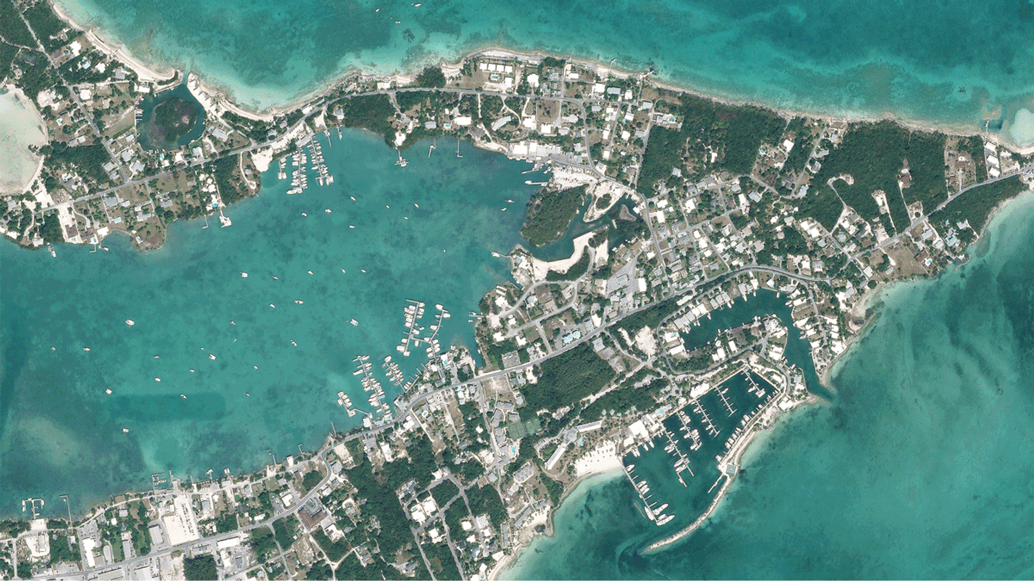
Dorian Devastation
[caption id="attachment_143869" align="aligncenter" width="1200"]
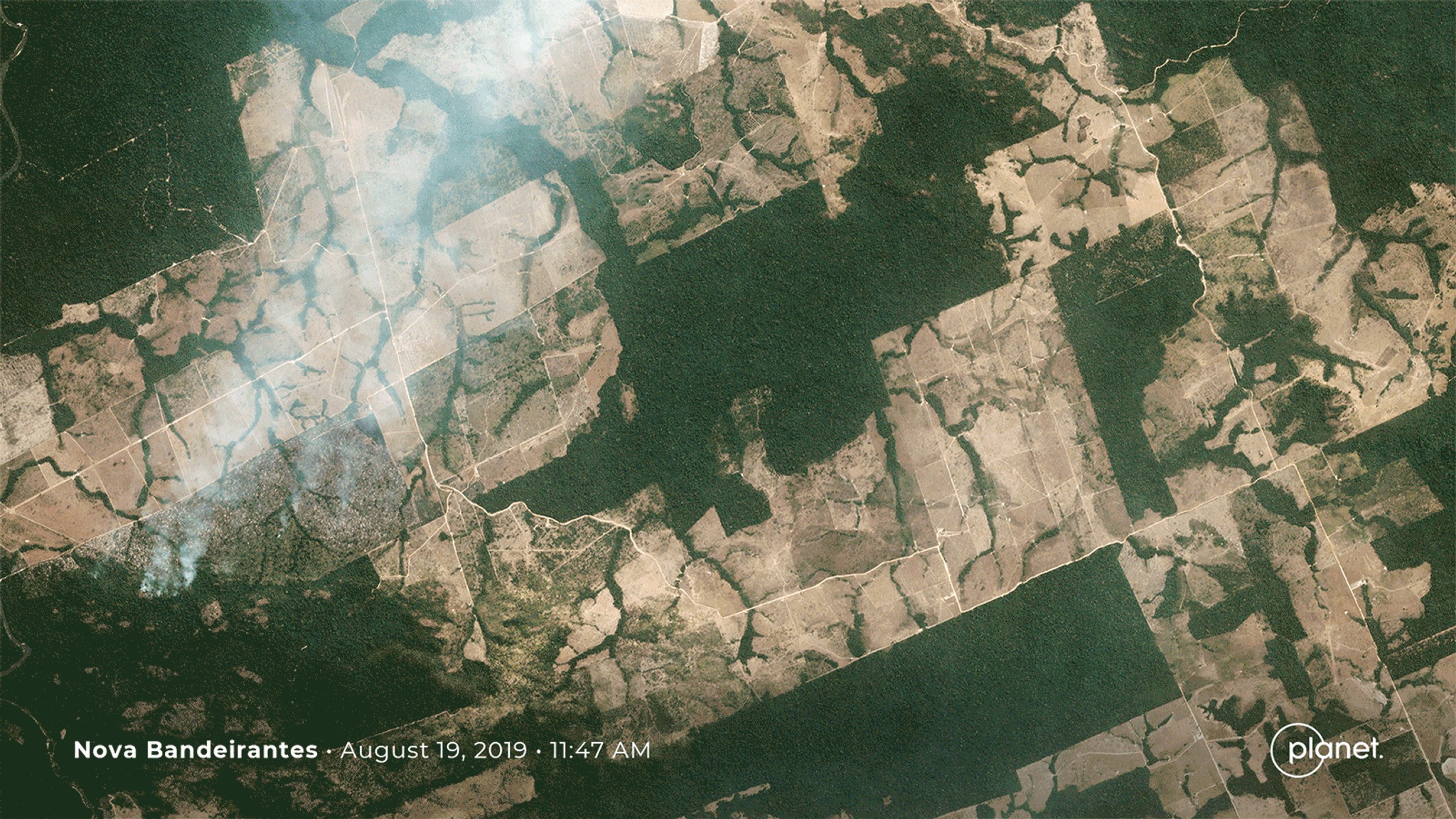
Blazing Brazil
[caption id="attachment_143855" align="aligncenter" width="1600"]
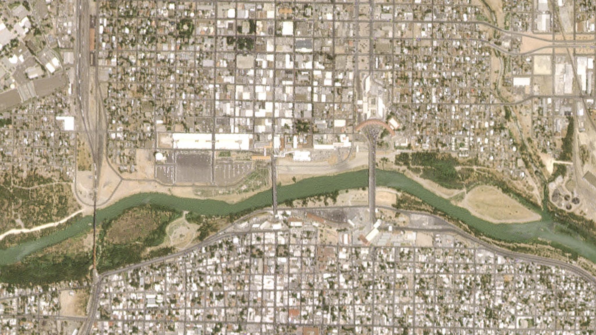
Trump’s Tents
[caption id="attachment_143856" align="aligncenter" width="960"]
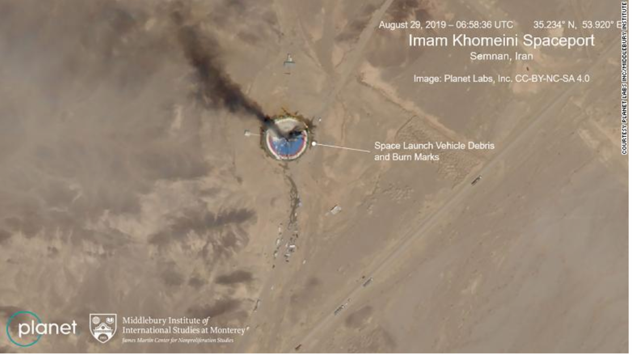
Spotting Smoke
[caption id="attachment_143861" align="aligncenter" width="1564"]
Ready to Get Started
Connect with a member of our Sales team. We'll help you find the right products and pricing for your needs