
Latin America Embraces Satellite Data and AI for Law Enforcement, Forest Protection, and Civil Government Initiatives
Yesterday, we were proud to showcase our major customers and partners from across Central and South America at our “Planet On The Road” conference series, hosted in Bogotá Colombia. Speakers at the in-person event included data and artificial intelligence experts and government leaders from Brazil, Colombia, and Bolivia, who focused on how satellite data was being used across Latin America for sustainable development, law enforcement, disaster response, and Amazon forest protection.
At Planet, we provide our customers and partners with satellite datasets and analysis feeds, helping them conduct broad area management and quantify changing conditions on the surface of the Earth. At the Bogotá event, Planet President and CFO, Ashley Johnson expanded on these capabilities, highlighting the company’s newly launched Planet Insights Platform and shared, “Our daily global scan can help authorities improve situational awareness, allocate resources during complex incidents that occur over large areas, understand flood risks in burned areas, and plan long-term recovery operations.”
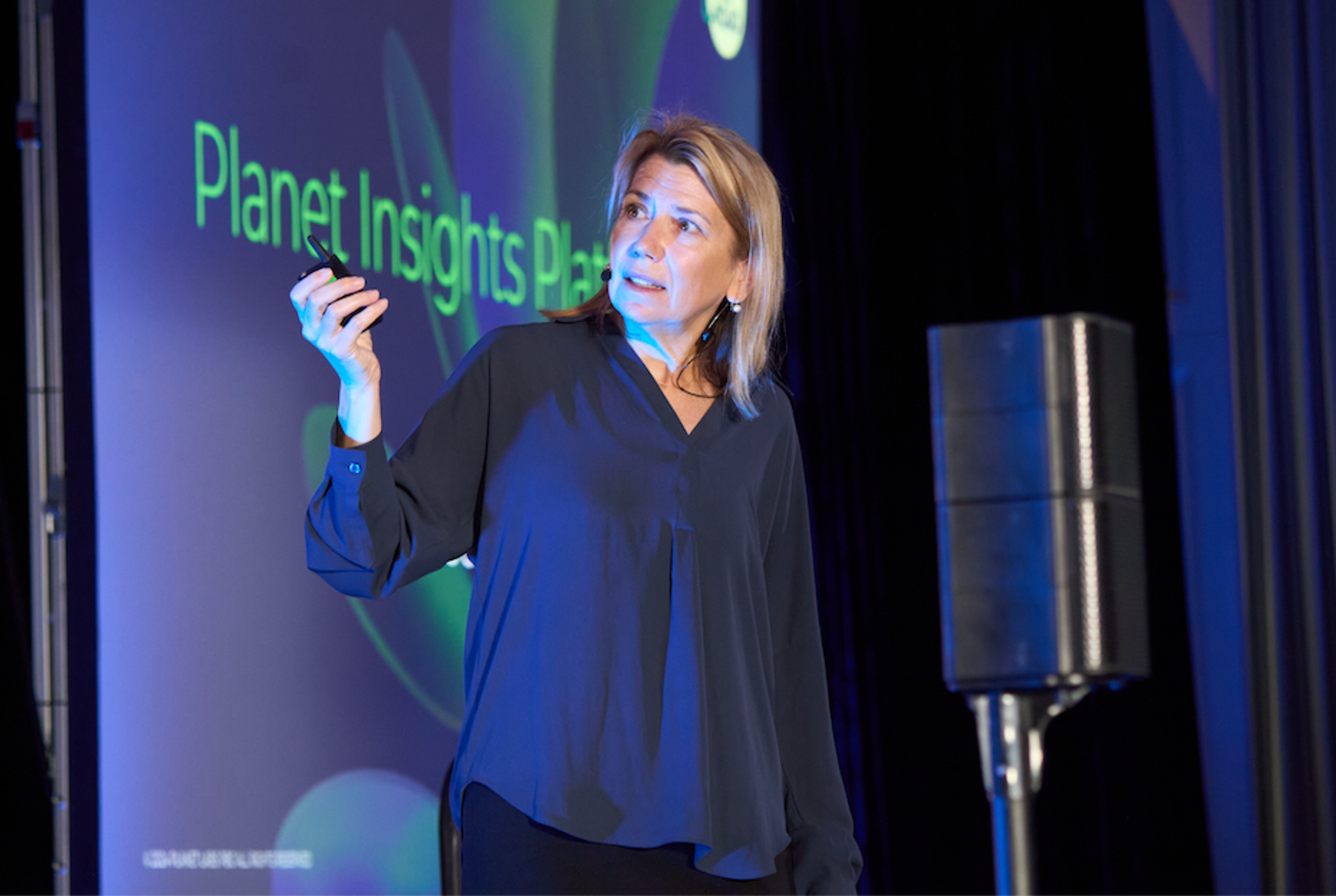
Ashley Johnson, Planet President and Chief Financial Officer, giving a keynote presentation at On The Road Bogotá.
Planet has experienced business momentum in Latin America over the last year and by working with partners in the region, valuable insights and novel workflows have emerged for governments and businesses in the region. "Our community is uniquely equipped to harness the power of space data and AI technologies to see the signal in the noise, to modernize and digitize our workflows, use transparency to promote peace and security and to accelerate the transition toward a sustainable economy,” said Robbie Schingler, Planet Co-founder and CSO in his keynote address at the event.
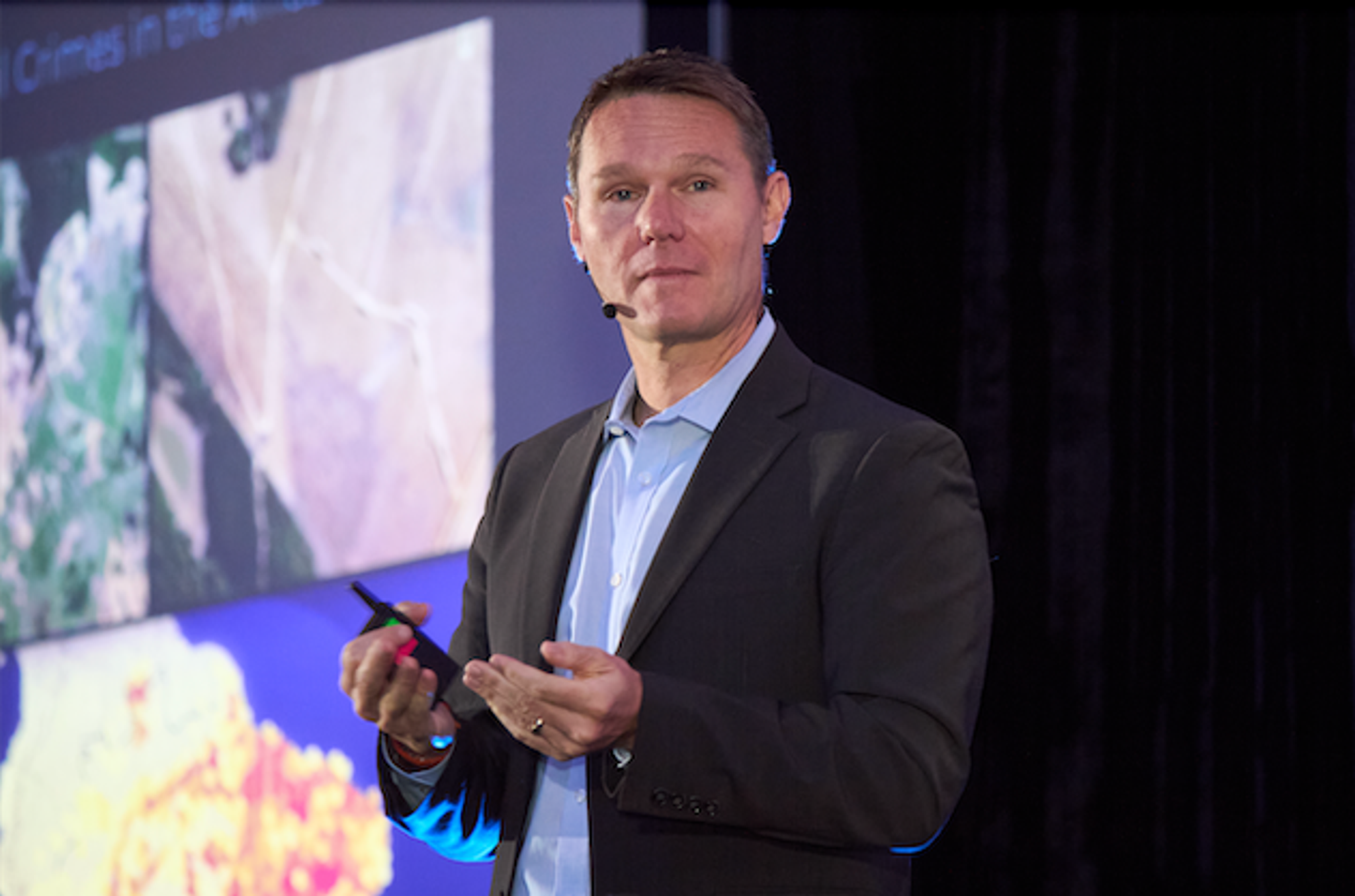
Robbie Schingler, Planet Co-Founder and Chief Strategy Officer, giving a keynote presentation at On The Road Bogotá.
We were honored to have our customers and partners take to the stage for the day to share how they are leveraging Planet satellite data. Representatives from INRA, Bolivia’s land management agency, discussed how they worked in collaboration with Planet and our partner CIVIS to modernize their approach to land management. Aiming to balance sustainability, food sovereignty, and national development, INRA leveraged the Planet Insights Platform to gain near real-time insights and streamline management for monitoring for carbon emissions compliance and land use and titling, establishing ambitious sustainable targets across the nation.
In a keynote, alongside INRA, our customer Instituto Geográfico Agustín Codazzi (IGAC), a Colombian government entity responsible for managing cartographic data, shared how they provide user access to PlanetScope and Planet Basemaps covering the entire Colombian territory. Through their platform, Observatorio de la Tierra y el Territorio (OTT), organizations are able to conduct efficient land-use planning and territorial management. With data analysis and AI, the platform aims to offer capabilities for monitoring infrastructure change and detect anthropogenic changes to the environment.
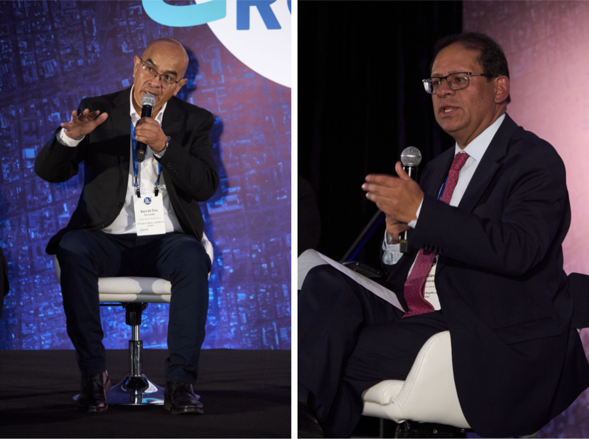
Juan De Dios Fernández, General Director of Planning at INRA (left) and Gustavo Marulanda Morales, General Director at IGAC (right) presenting at On The Road Bogotá.
In a fireside chat hosted by Robbie Schingler and Guillermo Ocampo, Microsoft’s National Digital Transformation Officer, the industry leaders discussed how artificial intelligence and satellite imagery have been transforming biodiversity protection in South America, helping to inform scientists and raise public awareness. Microsoft’s Project Guacamaya, for instance, runs AI-enabled analyses on top of Planet satellite imagery of biodiverse regions to swiftly detect ecosystem changes, potentially caused by deforestation or mining.

Robbie Schingler, Planet Co-Founder and Chief Strategy Officer (left), hosts a fireside chat with Guillermo Ocampo, National Digital Transformation Officer at Microsoft (right), at On The Road Bogotá.
Felipe Trujillo, General Manager at Procalculo Prosis S.A.S. and Alfredo Aramayo, President of CIVIS came on stage for a keynote presentation about how Planet’s satellite imagery is leveraged to provide unique data solutions in Latin America, including helping governments modernize their approach to land management and enabling disaster and environmental risk management. Additional representatives from Planet partner Procalculo also spoke about their collaborative work with organizations across Colombia to provide geospatial insights derived from our satellite data in areas, such as risk management and disaster response. At the event, Procalculo shared how they used deep learning models on top of Planet data to evaluate yearly drought impacts and risks, wildfire threat zones, and mapping roads for disaster management. They also spoke with the Head of Space Production Area for the Airforce of Colombia about how Planet data offers the capabilities of broad area management for the Amazon, enabling authorities to combat illegal deforestation.
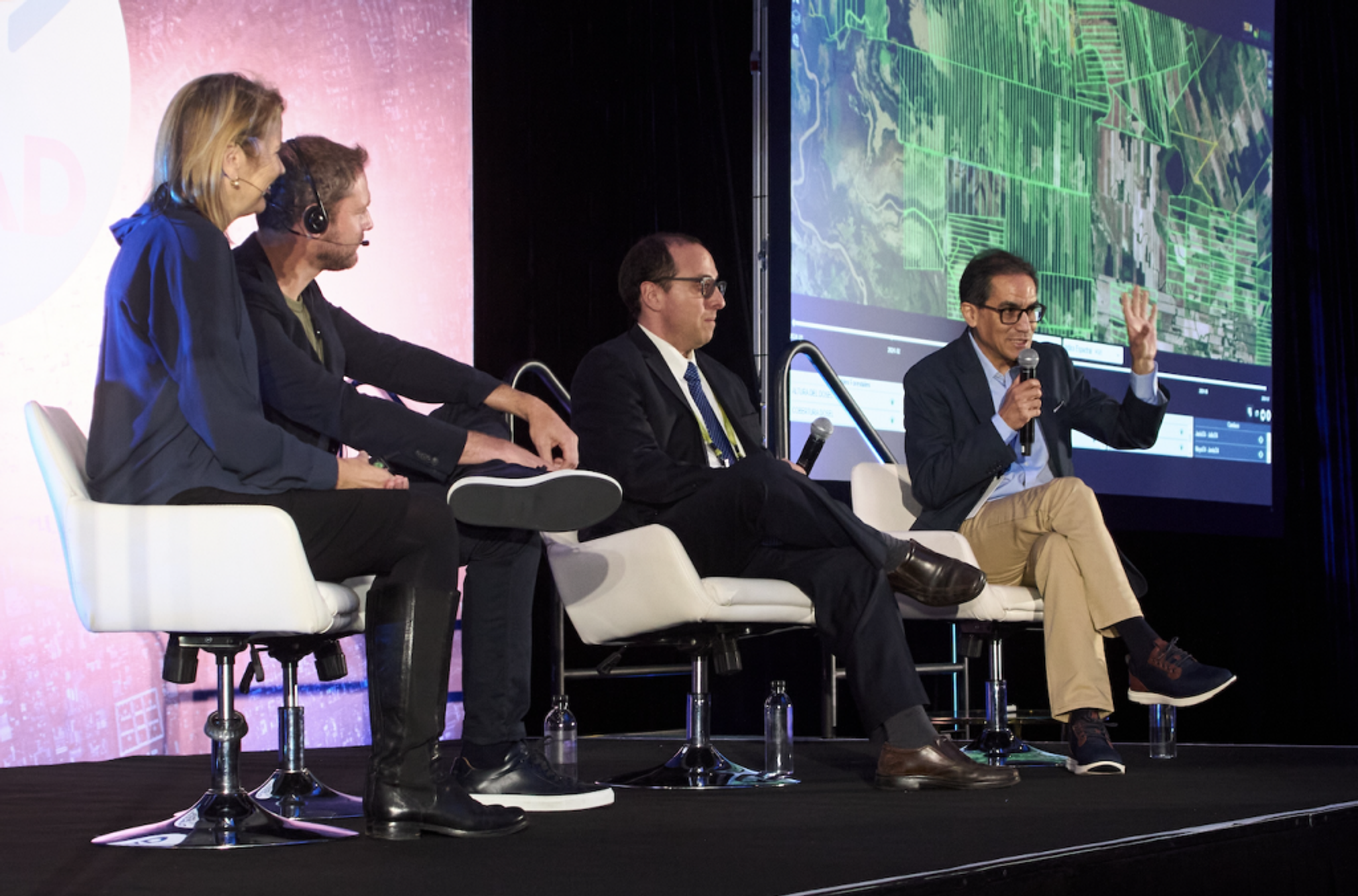
Ashley Johnson, Planet President and Chief Financial Officer (far left), and Thijs Van Leeuwen, Planet Sr. Director of Product (left), join Felipe Trujillo, General Manager at Procalculo Prosis S.A.S. (right), and Alfredo Aramayo, President of CIVIS (far right) for a keynote on stage at On The Road Bogotá.
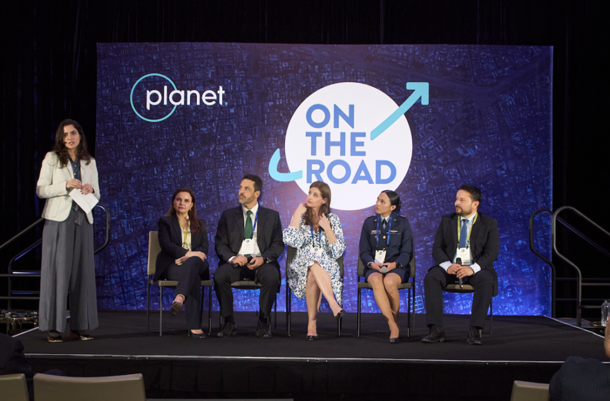
From left to right, Nataly Pulido, Customer Success Manager at Planet, Iara Musse Felix, CEO of SCCON Geospatial, Cristiano Cunha, Chief of the Geomatics Service of the Federal Police, Camila Pintarelli, Director - Chief of National Fund for Public Security of the Ministry of Justice and Public Security of Brazil, Captain Laura Fernanda Guerra Ibáñez, Head of Space Production Area, Airforce of Colombia (FAC), and Juan Camilo Amaya, Geospatial Technology Manager at Procalculo Prosis S.A.S.
Representatives across the Brazil MAIS program shared how Planet data has enabled the success and expansion of the program, working to protect the Brazilian Amazon in collaboration with the Federal Police of Brazil, the Ministry of Justice and Public Security of Brazil, and Planet partner SCCON Geospatial. Leveraging our satellite data, SCCON supports a change detection alert system on their platform, making near real-time information regarding illicit activities, such as environmental crimes and illegal mining accessible to Brazilian government agencies. The Federal Police of Brazil have been able to implement justice across the country, protecting the Amazon rainforest and enhancing their law enforcement operations. With Planet satellite data and SCCON’s automated change detection, the project collected over $3 billion from fines, seized goods, and the freezing of assets since 2020.
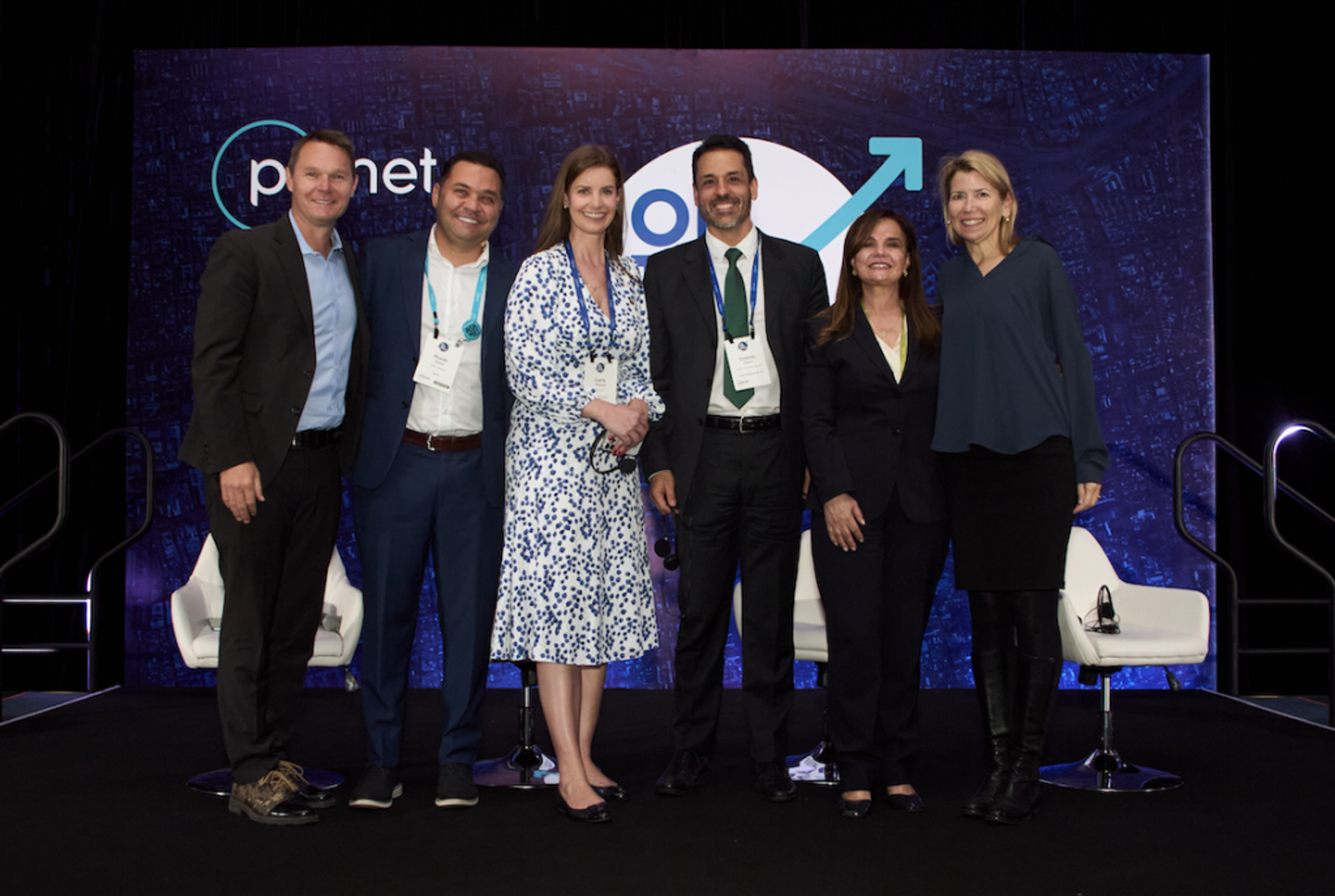
From left to right, Robbie Schingler, Planet Co-Founder and Chief Strategy Officer, Ricardo Guerra, Regional Sales Director of LATAM at Planet, Camila Pintarelli, PhD, Director - Chief of National Fund for Public Security Ministry of Justice and Public Security of Brazil, Cristiano Cunha, Chief of the Geomatics Service of the Federal Police & Coordinator of the Steering Committee of the Brazil MAIS Program of the Ministry of Justice and Public Security, Iara Musse Felix, CEO, SCCON Geospatial, and Ashley Johnson, Planet President and Chief Financial Officer on stage at On The Road Bogotá.
We also hosted a myriad of leaders leveraging Planet satellite data across the Latin American agricultural industry and disaster response programs. In the digital farming arena, customers and partners speaking included Disargo, a leading supplier of fertilizers originating from Guatemala, Auravant, an Argentina-based digital agricultural monitoring system, and Oryzatvia, which integrates Planet data into their digital platform to support rice farming in Uruguay. Focusing on how AI and machine learning can transform proactive disaster response, Planet customers and partners EPM and Procaculo from Colombia, and Chile-based Raster4 shared how satellite data and emerging technologies are supporting all stages of disaster life cycle management, including prevention, response, and recovery.
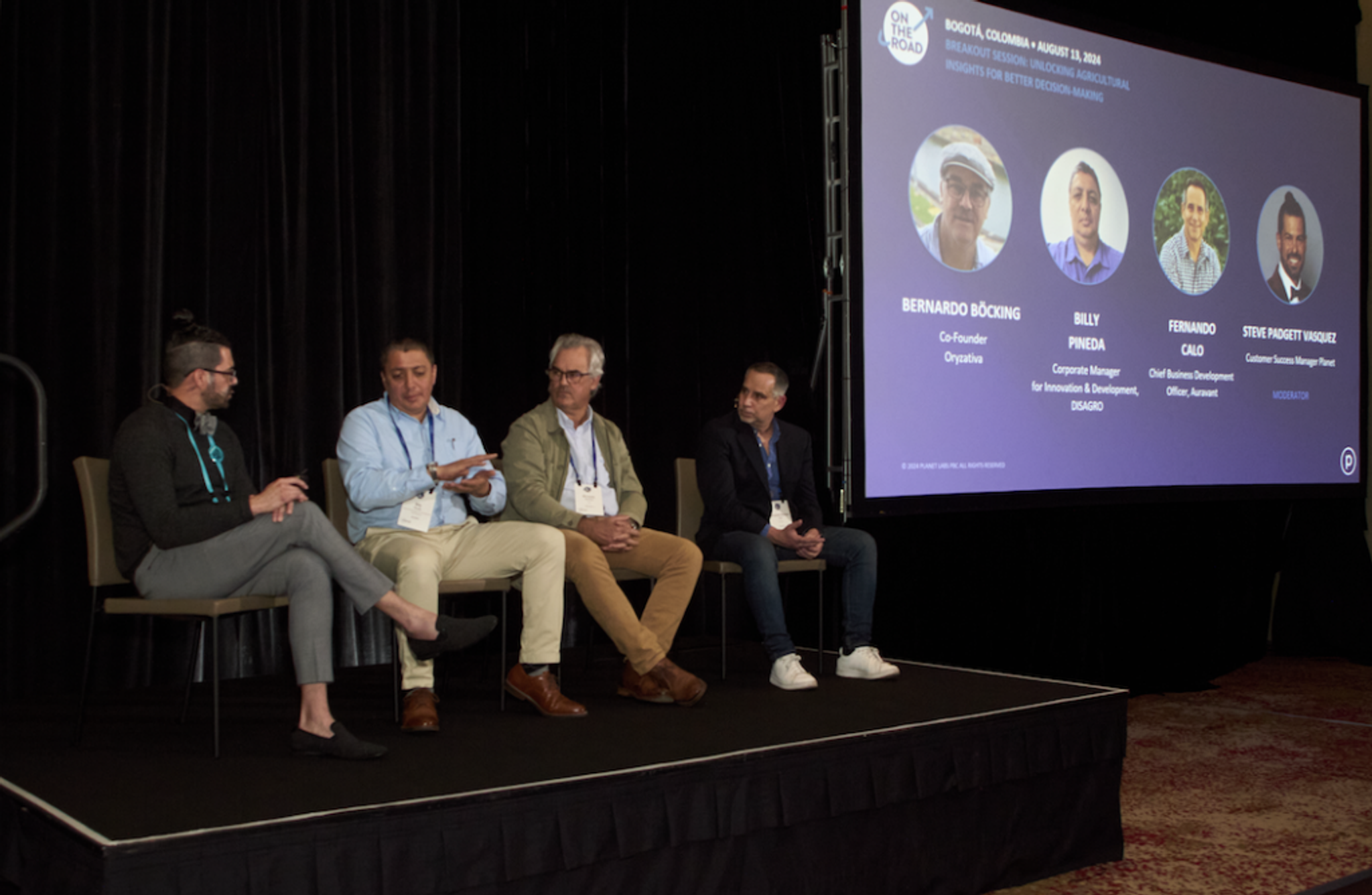
From left to right, Steve Padgett Vasquez, Customer Success Manager at Planet, Billy Pineda, Corporate Manager for Innovation and Development at DISAGRO, Bernardo Böcking, Co-Founder of Oryzativa, and Fernando Calo, Chief Business Development Officer at Auravant on stage at On The Road Bogotá.
It was an incredible day at On The Road Bogotá, and we’d like to sincerely thank everyone who joined us in-person for inspirational keynotes and brainstorming sessions. From combating environmental crimes and leveraging AI for biodiversity conservation to digitally transforming land management and enabling disaster response, we were empowered and excited about all of the solutions shared on stage, and look forward to continued and expanded collaborations with customers and partners across the region!
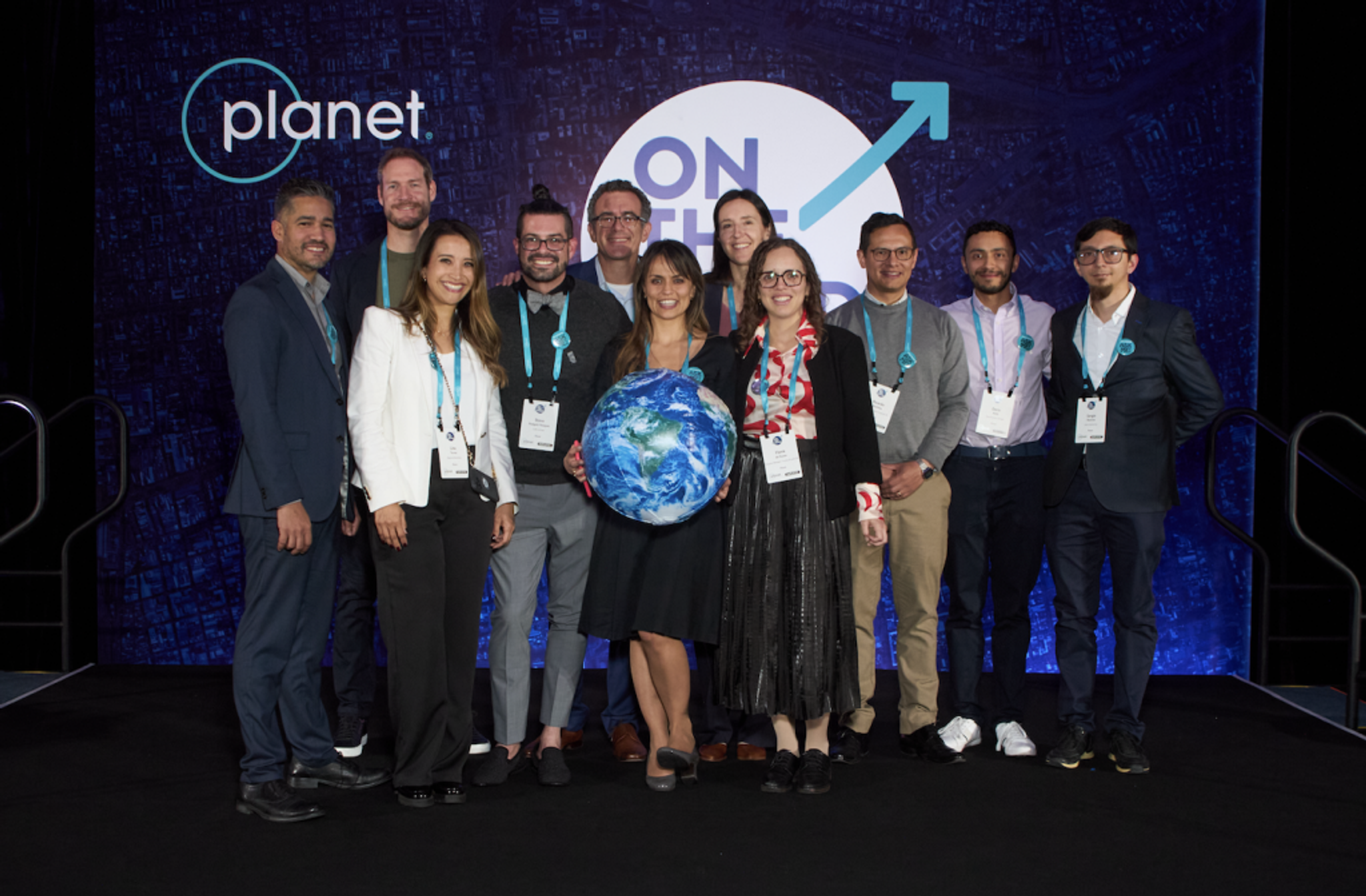
Planet On The Road Bogotá management team.
Ready to Get Started
Connect with a member of our Sales team. We'll help you find the right products and pricing for your needs