
Monitoring Natural Disasters in the Philippines
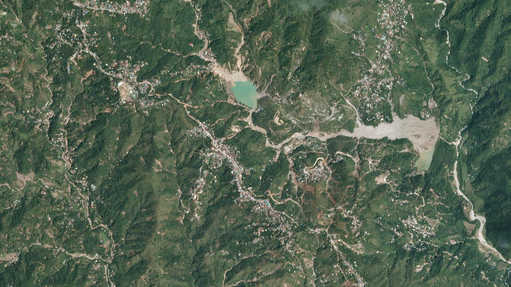
Typhoon Ompong Landslide captured by PlanetScope on September 19, 2018. © 2018, Planet Labs Inc. All Rights Reserved.
NewsMore than 20 typhoons take place every year in the Philippines, five of which are typically destructive, taking a toll on not only infrastructure but also human life. The country’s location also makes it vulnerable to other natural disasters including frequent earthquakes, volcanic eruptions as well as tsunamis, sea-level rise, storm surges, landslides, flooding, and drought. As such, predicting areas of typhoon damage, and other natural disasters, is a key focus of The Department of Science and Technology (DOST-ASTI). As part of the Advanced Science and Technology Institute in the Philippines, DOST-ASTI aims to deliver technology solutions that support a productive and resilient Philippine society. Without access to satellite imagery and data, DOST-ASTI had to rely on extracting ground-based data, which had a long latency causing delays in getting timely information to top-level decision makers. After years of manually monitoring, DOST-ASTI needed a better way to improve disaster management and monitoring, and inform natural disaster policies, so they connected with Planet partner, Geospectrum, to access Planet satellite data. [caption id="attachment_146548" align="aligncenter" width="900"]
Ready to Get Started
Connect with a member of our Sales team. We'll help you find the right products and pricing for your needs.