
NICFI Satellite Data Program Extended to Include Recipients of the GEO-Microsoft Planetary Computer Grants Program
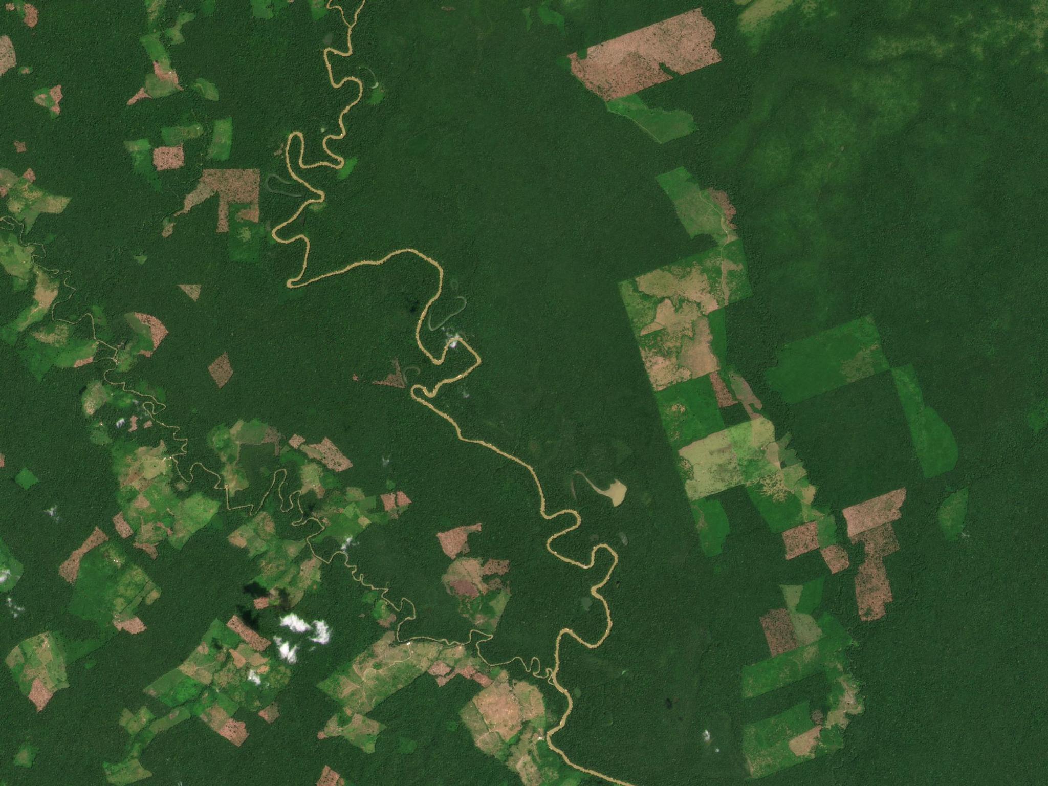
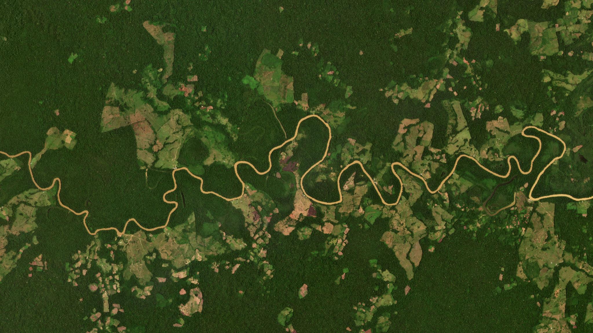
In an effort to advance scientific research, development, and discovery from the NICFI Satellite Data Program, Planet has teamed up with Microsoft to make high-resolution, tropical forest Basemaps available to select researchers within the Planetary Computer platform. The Group on Earth Observations (GEO), in partnership with Microsoft, today announced a Request for Proposals (RFP) from scientists looking to bring the power of Microsoft’s Planetary Computer to Planet’s high-resolution imagery to help reduce and reverse tropical forest loss. Announced at the FOSS4G conference in Buenos Aires, Argentina, the GEO-Microsoft Planetary Computer RFP will support a number of 12-month projects that use the NICFI Satellite Data and the Planetary Computer to address environmental challenges. Successful applicants will receive access to the NICFI Satellite Data within the Planetary Computer platform, up to $60,000 in financial support for 12 months, up to $60,000 in Microsoft Azure credits, and technical advice and support. To submit a proposal and view the RFP click here. [caption id="attachment_147485" align="aligncenter" width="2190"]
Ready to Get Started
Connect with a member of our Sales team. We'll help you find the right products and pricing for your needs