
NICFI Tropical Forest Basemaps Now Available in Google Earth Engine
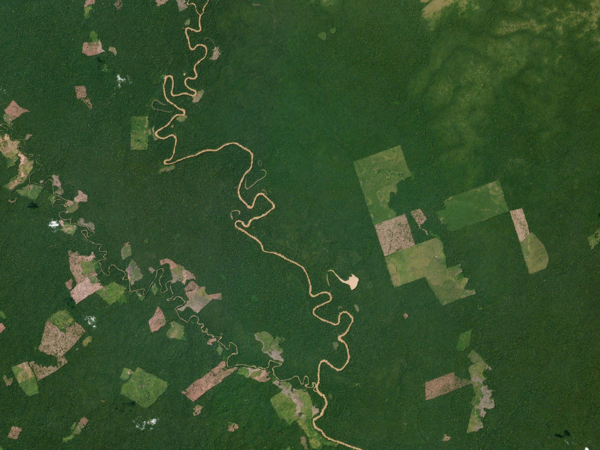
Deforestation in Chiribiquete, Colombia captured by PlanetScope. © 2018, Planet Labs Inc. All Rights Reserved.
NewsIn an effort to enable greater impact from the NICFI Satellite Data Program, Planet has teamed up with Google to make high-resolution, tropical forest Basemaps available within the Earth Engine platform.
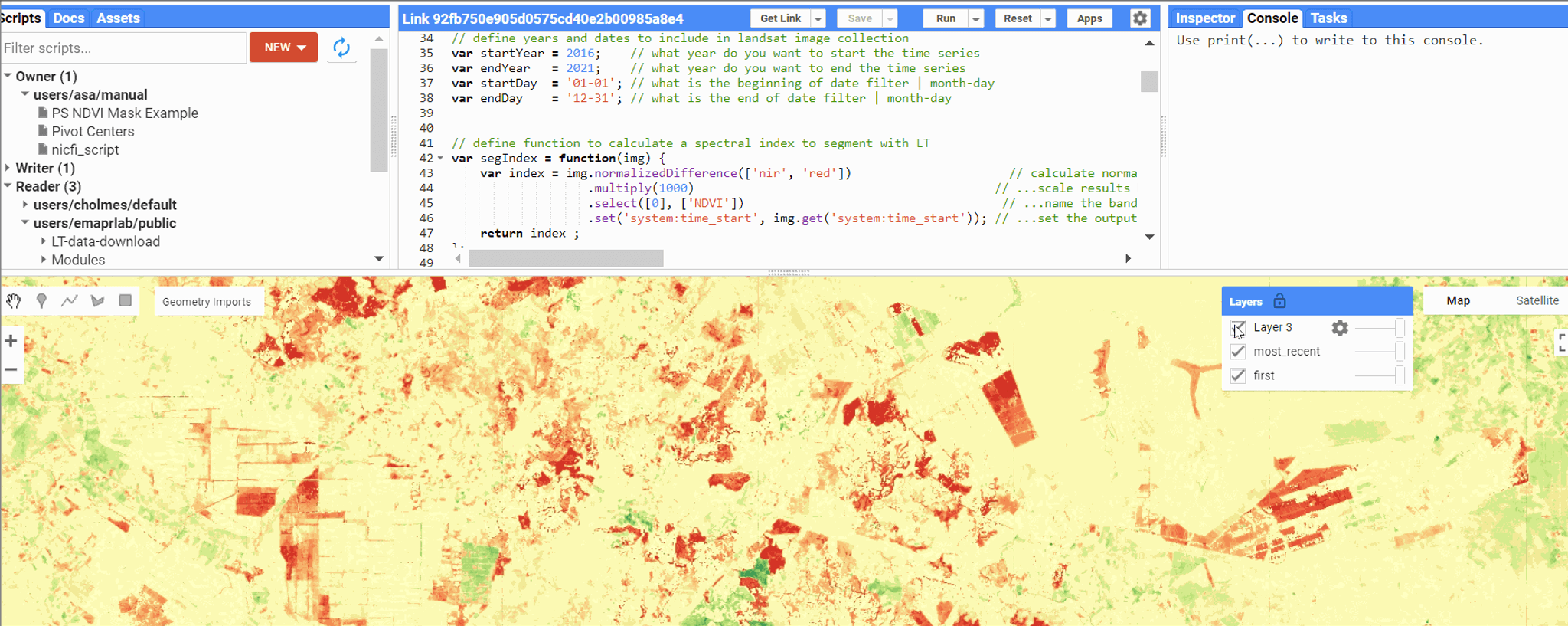
This brings the power of Google’s cloud to the entire NICFI community to run analysis at regional and global levels to study the effects and solutions of tropical forest loss at scales not possible through traditional means.
“From its inception 10 years ago, Google Earth Engine’s mission has been a global-scale platform for Earth science data & analysis to further the most pressing environmental and societal issues we face,” said Brian Sullivan, Sr. Program Manager at Google. “By partnering with the NICFI program to connect the first high resolution, deep time series imagery with the latest geospatial and machine learning platforms, groups working to stop deforestation will now have access to insights and solutions at a previously unprecedented scale.”
Early access users have tested and proven the integration in their real-world applications, facilitating next-level discussions between scientists and policy-makers in the fight to reduce and reverse tropical forest loss.
Ready to Get Started
Connect with a member of our Sales team. We'll help you find the right products and pricing for your needs.