StoriesStoriesNatasha Nogueira on High Altitude Balloons, Cubesats and PerseverancePriya Pradhan |August 19, 2020|11 min readRead more
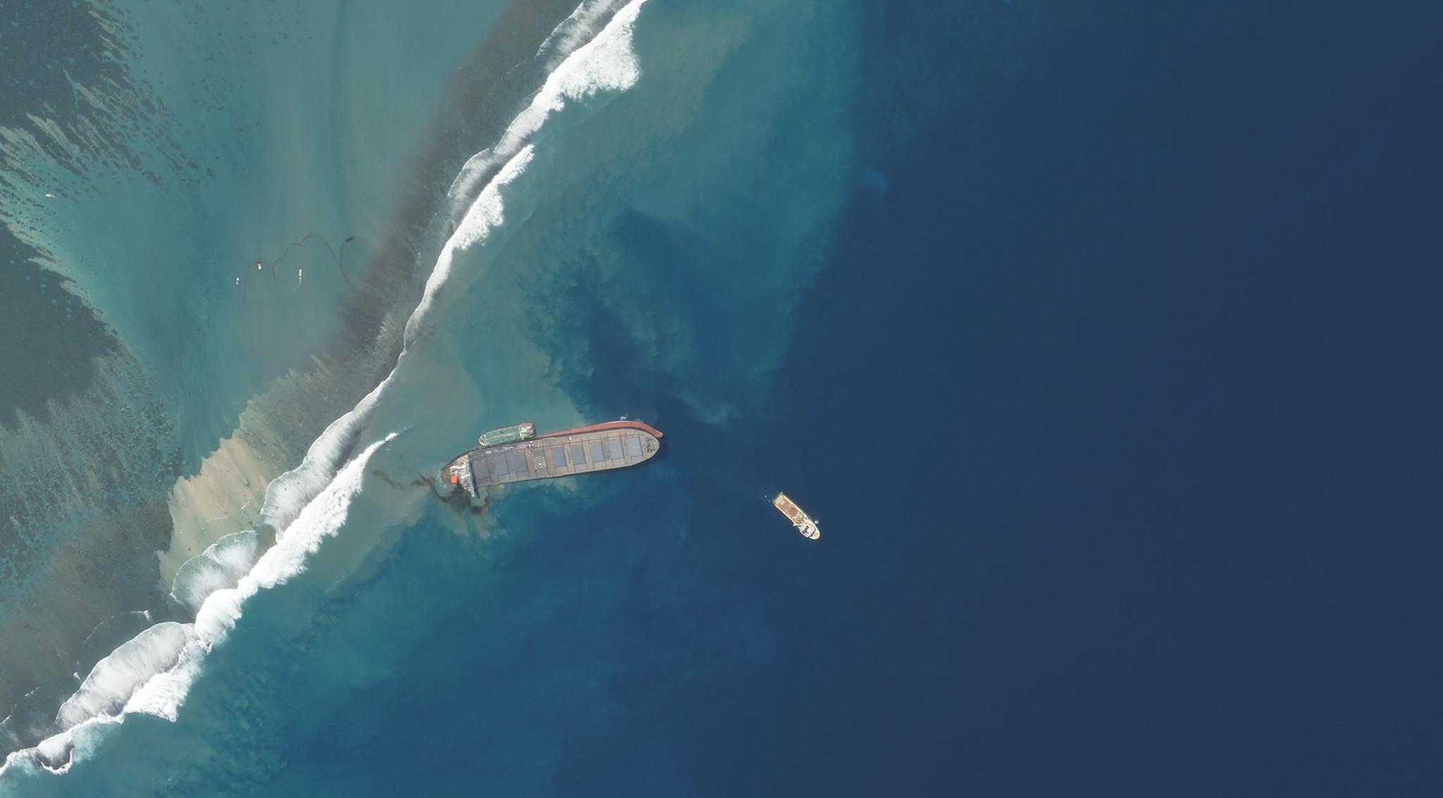
NewsNewsUsing Space to Help with the Mauritius Oil SpillAndrew Zolli |August 19, 2020|4 min readRead more
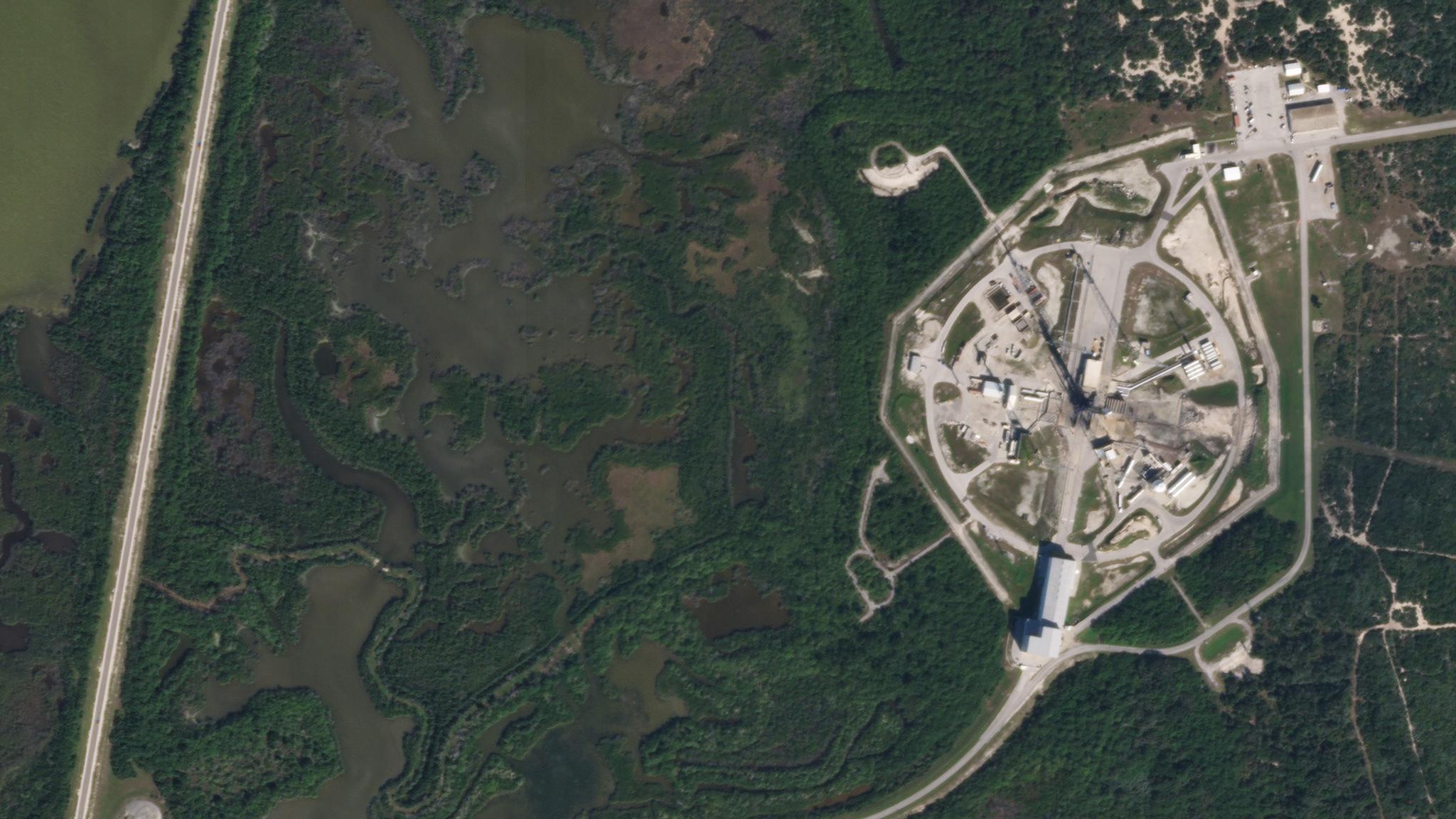
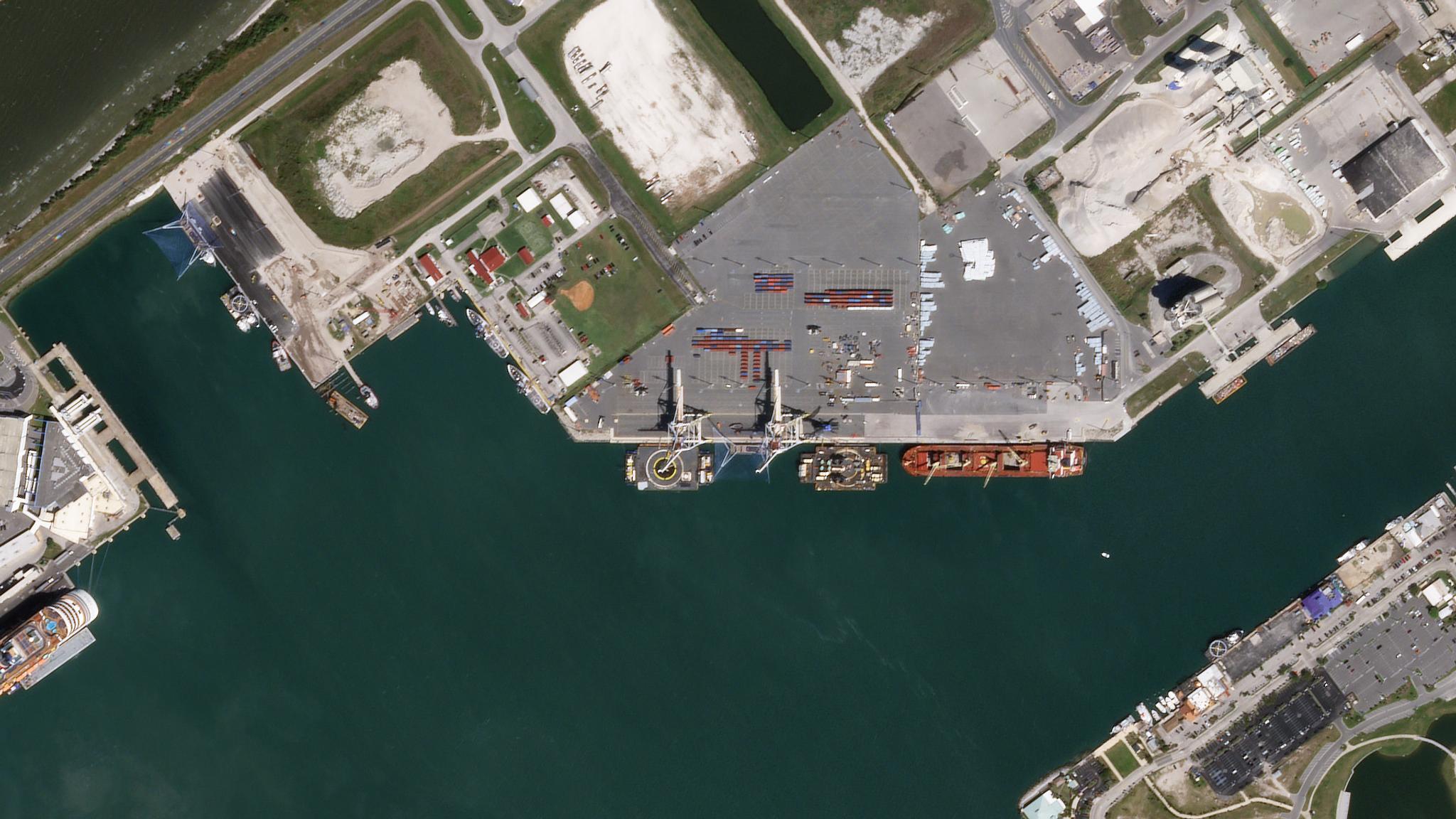
NewsNewsSkySat Constellation Complete: SkySats 19-21 Successfully Launch Aboard the SpaceX Falcon 9Mike Safyan |August 18, 2020|2 min readRead more
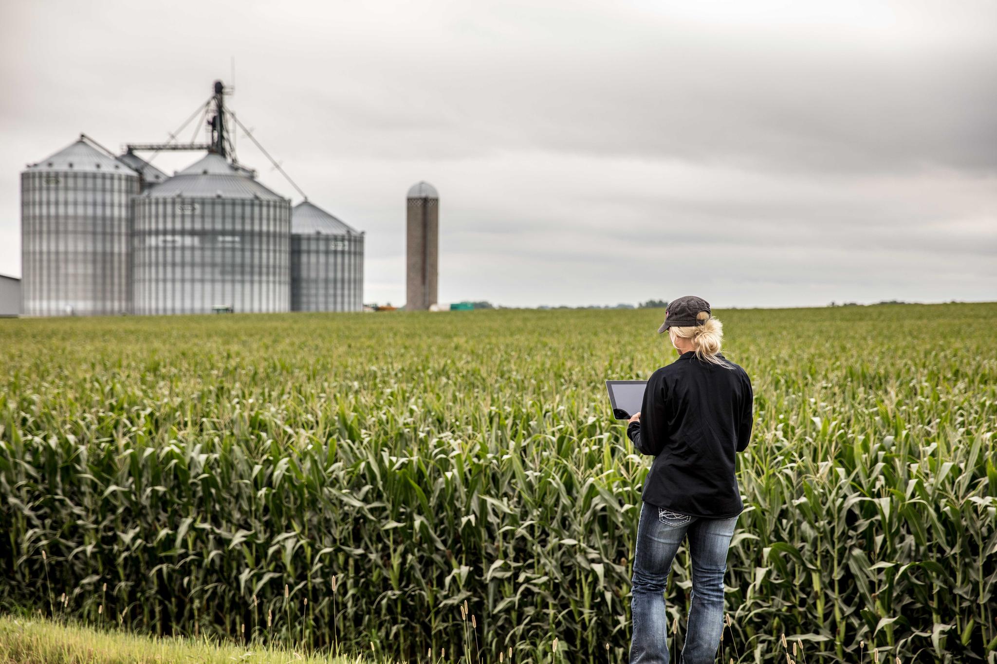
StoriesStoriesHow Planet is Powering xarvio’s Ambition to Support Growers in Optimizing Crop Production GloballyJenna Mukuno |August 17, 2020|3 min readRead more
NewsNewsSkySats 19-21 to Launch on SpaceX Falcon 9 Rideshare MissionMike Safyan |August 14, 2020|2 min readRead more
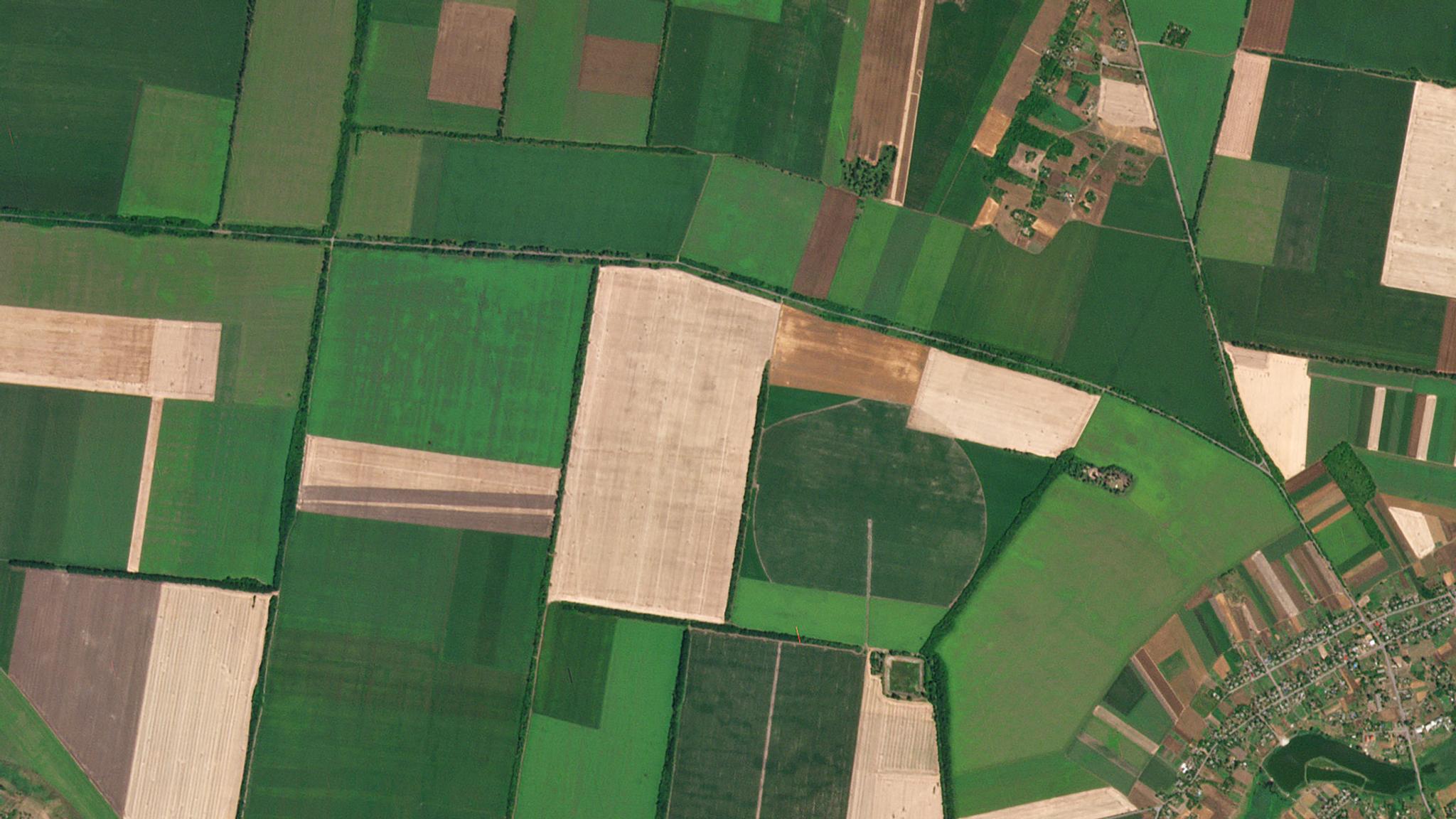
StoriesStoriesLand Cover and Land Use: Driving Solutions with Planet DataTara O'Shea |August 13, 2020|3 min readRead more
NewsNewsPlanet Exceeds Business Targets, Advancing Through 2020 with MomentumWill Marshall |August 11, 2020|3 min readRead more
StoriesStoriesHow Granular Delivers Fast, Frequent, In-Field Insights to FarmersAriel Rhoda |August 3, 2020|2 min readRead more
NewsNewsPlanet Welcomes Rosanne Saccone as Chief Marketing OfficerWill Marshall |July 28, 2020|3 min readRead more
NewsNewsTech Entrepreneur Wendy Tan White Joins Planet's BoardWill Marshall |July 23, 2020|2 min readRead more