
Planet and New Light Technologies Deliver Satellite Imagery to Power Rapid Disaster Response at FEMA
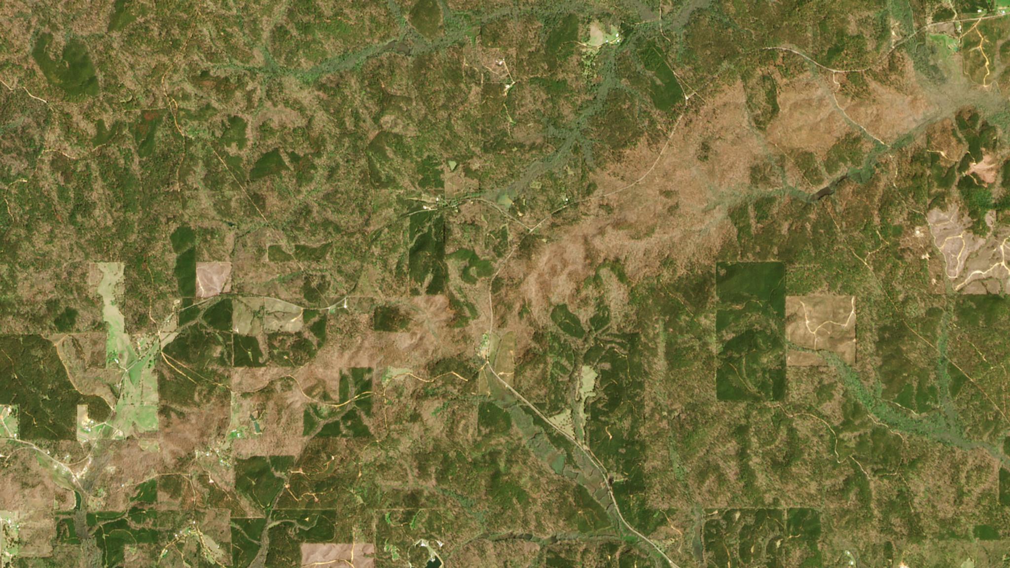
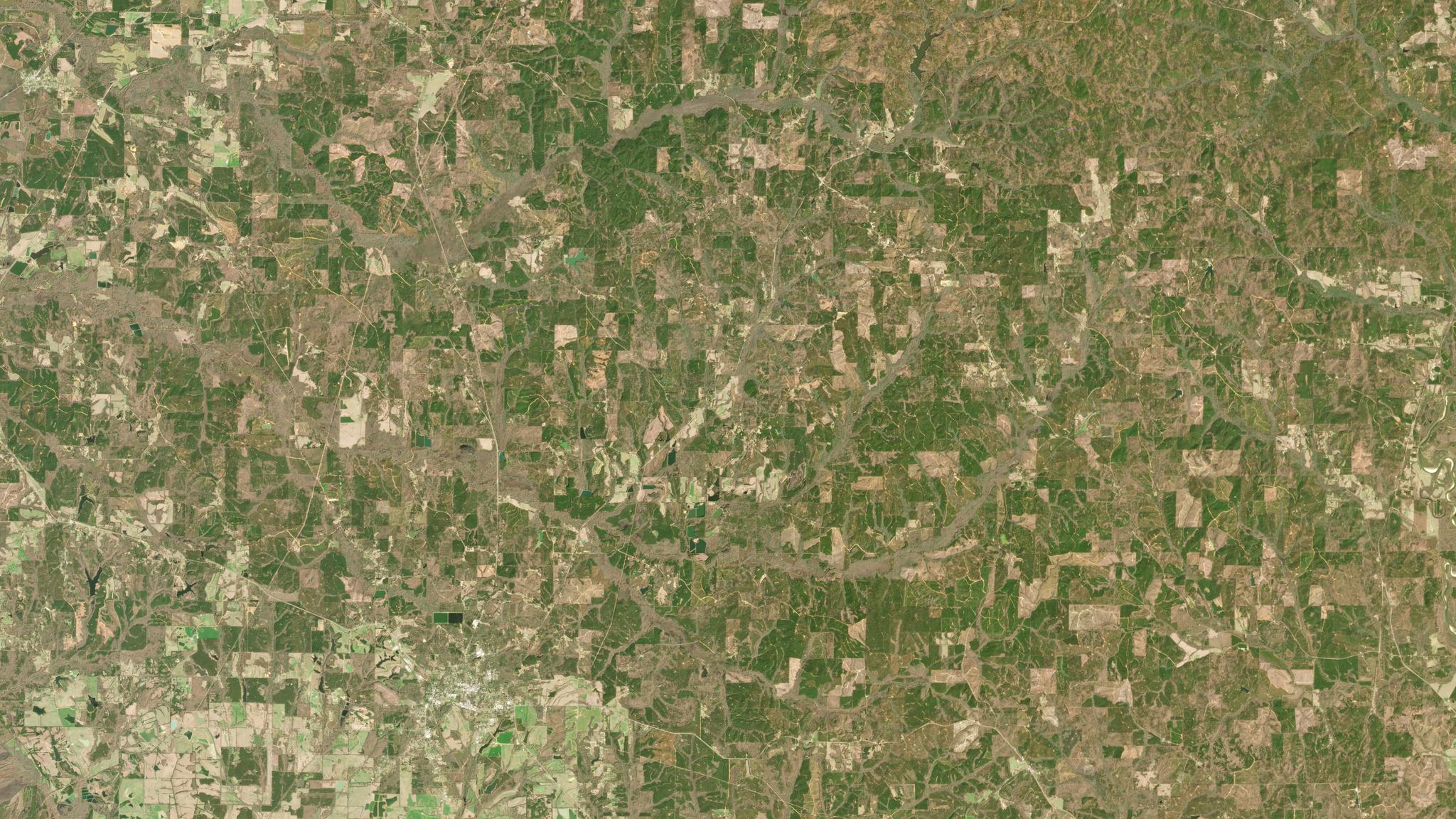
PlanetScope image shows tornado path damage in central Alabama. © 2020, Planet Labs Inc. All Rights Reserved.
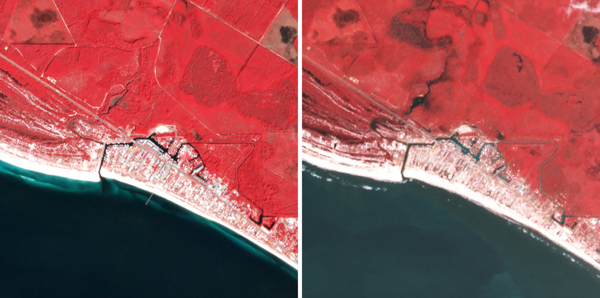
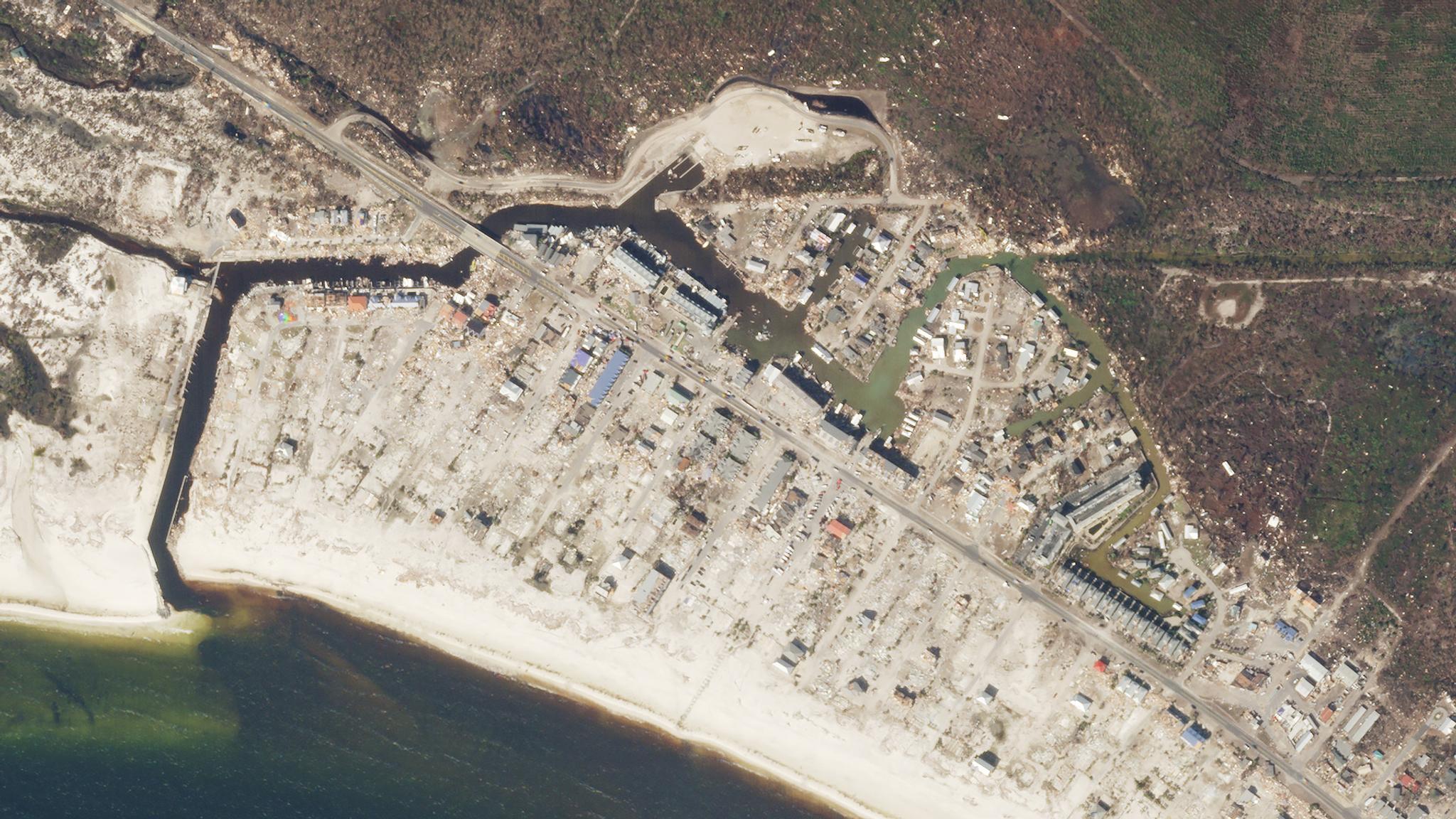
NewsEmergency managers require up-to-date information throughout the lifecycle of an incident on the conditions of impacted communities in order to make decisions about where and how to respond. Planet’s high-cadence and high-resolution satellite monitoring capabilities and image archive provide ongoing regional coverage, enabling disaster risk mitigation, rapid response, and informed recovery. Our data is now being used through a collaboration with New Light Technologies Inc. (NLT) to provide the Federal Emergency Management Agency (FEMA) imagery to support enhanced situational awareness for effective disaster response. Through this collaboration, NLT, a renowned leader in the development of satellite-derived analytics and delivery of real-time decision-support systems for emergency management, works directly with FEMA to integrate our near-daily PlanetScope imagery into its disaster response program to assess damages and plan recovery following incidents such as hurricanes and tornadoes. Working together, Planet and NLT rapidly deliver imagery through API and cloud-based platforms to streamline data access and integration with disaster response systems and commercial software platforms such as ESRI and Google Earth Engine. “We are happy to be partnering with New Light Technologies and FEMA to provide critical information for natural disaster response and resilience efforts,” said Nelson Imade, Planet Federal Account Executive. "Our satellites keep a watchful eye over our planet, equipping our partners to be able to respond to and prepare for disasters more quickly, helping to save lives and mitigate economic impact." Hurricane Damage Assessment [caption id="attachment_147985" align="aligncenter" width="2744"]
Ready to Get Started
Connect with a member of our Sales team. We'll help you find the right products and pricing for your needs.