
Planet Announces Powerful New Products at Planet Explore 2020
Today marked the start of our second annual conference and we were thrilled to virtually host almost 6,000 attendees from over 140 countries, representing 16 verticals and markets. Planet CEO and co-founder Will Marshall kicked off the day by recapping highlights and announcements since last year’s conference, including beating our aggressive business targets, launching new capabilities with our 8-band SuperDoves and 50cm, Rapid Revisit SkySats, and expanding our integrations with Esri. “To be able to make an impact customers need the best information quickly and in a form they can work with,” said Marshall. “Today’s product announcements are aimed at helping more customers get the insights they need from our data.” Today during Explore 2020, Planet announced the following products and services:
- Planet Fusion Monitoring is Planet’s first in a series of game-changing Fusion products that combine multiple data types and refine them into a single information stream. Fusion Monitoring combines Planet’s high-frequency, daily data with additional datasets to provide an uninterrupted stream of consistent measurements that’s free of gaps and clouds and ideal for time-series analysis. No commercial Earth observation company has ever before offered data with such consistency, accuracy, and scale.
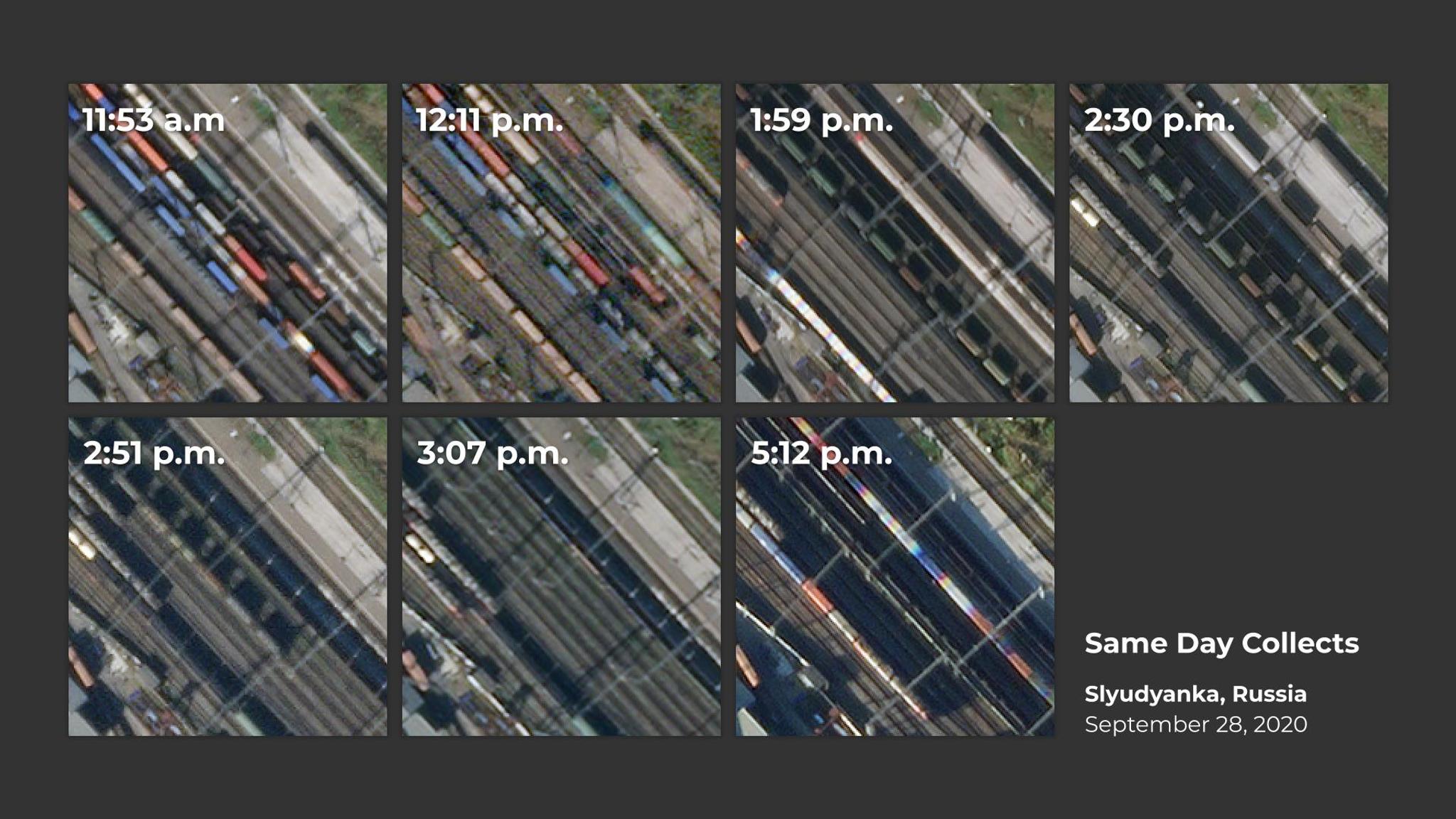
- Rapid Revisit, 50cm SkySat is now live and available to customers. Rapid Revisit delivers the highest intraday revisit capability of any high-resolution, commercial imagery provider. This capability is accessible through the automated Tasking Dashboard that allows customers to quickly, simply, and directly submit, modify, and cancel tasking orders.
- Automated Change Detection allows customers to efficiently locate where change has occurred in roads or buildings across the globe. This will help focus where our users spend their time, and enables tip and cue workflows for customers of all types.
- With Custom Model Development, customers can work with Planet’s professional services team to quickly define their own land classification models that are completely bespoke to their needs and can be deployed at-scale as a Planet Analytic Feed.
- A direct integration with Google Earth Engine (GEE) makes it easy for a single user to analyze geospatial datasets and run them at a global scale. This integration allows Planet customers to order Planet imagery directly to their GEE accounts using familiar Planet APIs & GUIs at no additional cost.
[video mp4="https://storage.googleapis.com/corpeng-pulse-assets/uploads/2020/10/north_platte_l3h_rgb_animation_d2_wordpress-1.mp4" loop="true" autoplay="true" align="aligncenter" height=1080, width="1920"][/video]
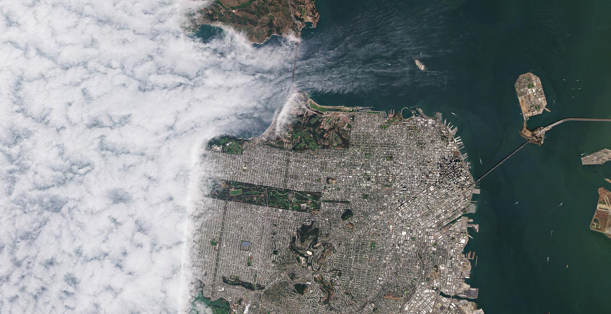
Fusion Monitoring combines Planet’s high-frequency, daily data with other datasets, such as Copernicus’s Sentinel data, MODIS, Landsat and VIIRS, to provide a complete, gap-free imagery product for time-series analysis
[caption id="attachment_145992" align="aligncenter" width="1920"]
Ready to Get Started
Connect with a member of our Sales team. We'll help you find the right products and pricing for your needs