Planet Imagery Available to Cesium Community
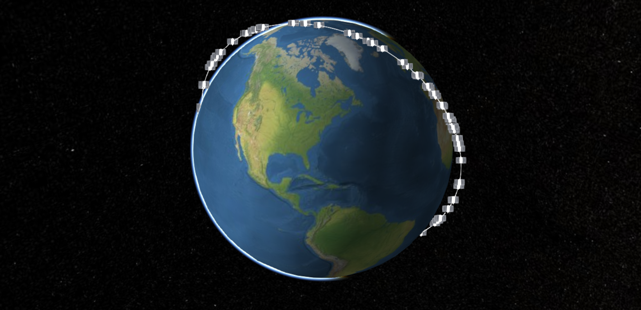
Cesium, the open-sourced 3D mapping software, is well-known within the aerospace community. At Planet, you’ll often see our on-orbit flocks, visualized in Cesium, speeding around the globe in real-time. Now, the Cesium community can explore Planet’s imagery. In integrating Cesium with our API, AGI can layer our frequently updated Automated Basemaps on top of 3D terrain data to create compelling and up-to-date visualizations. Check them out:
Learn more about this data partnership at GEOINT 2017, or over on the Cesium blog.

Ready to Get Started
Connect with a member of our Sales team. We'll help you find the right products and pricing for your needs


