Planet On The Road DC: Government Alignment, Artificial Intelligence Solutions, and International Collaboration
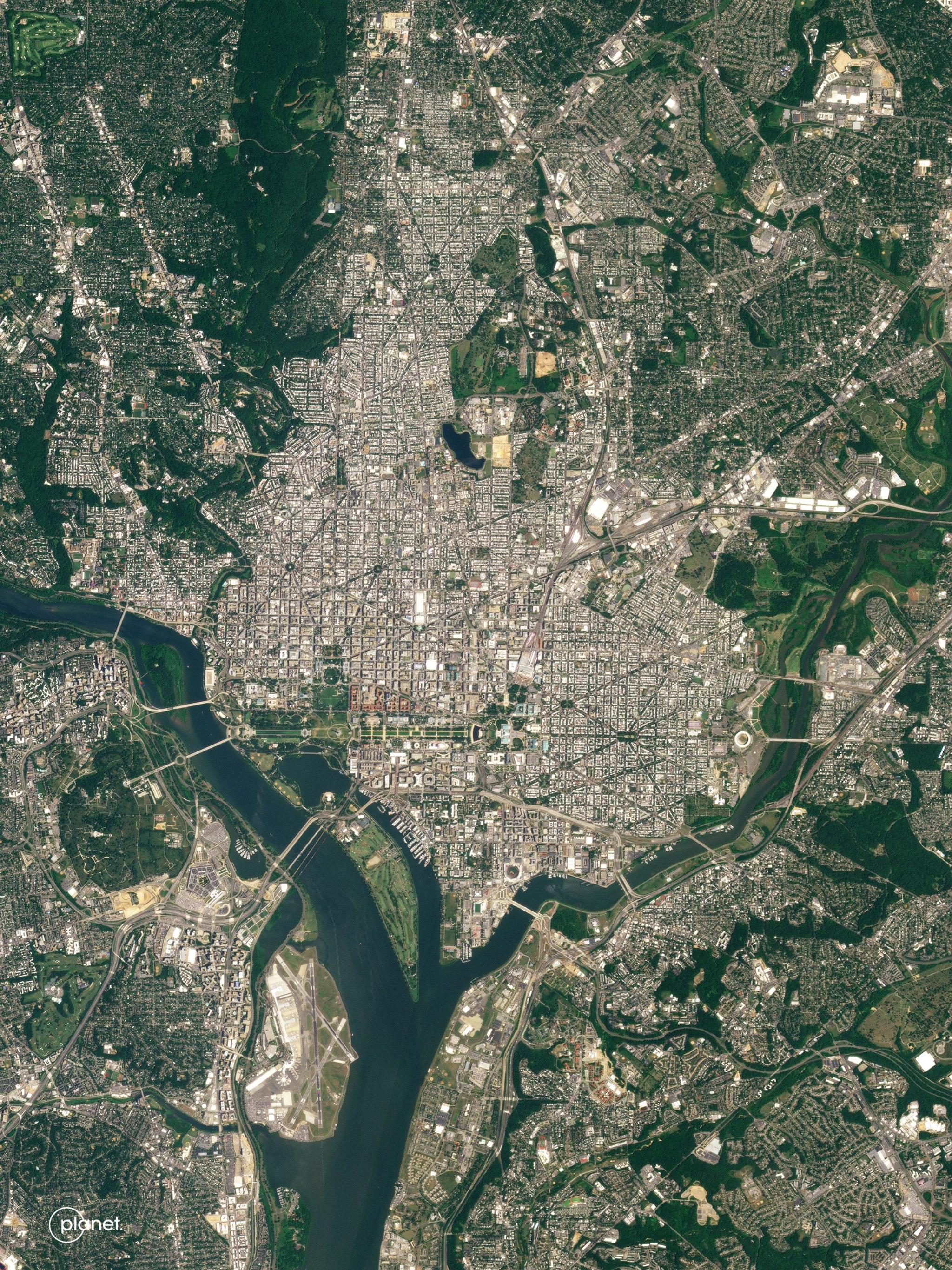
Planet image of Washington, D.C. taken June 2, 2023. © 2023 Planet Labs PBC. All Rights Reserved.
NewsAt Planet, we have a long history of working with the U.S. government, and this relationship lives at our roots. Over fourteen years ago, our founders all met while working at NASA where the idea of Planet ultimately came to fruition. Ever since then, we’ve built strong relationships across the federal government and we work closely with our commercial customers and partners who provide critical services to the federal and civil sectors. In fact, our wholly owned subsidiary, Planet Federal, is uniquely tailored to meet the needs of the U.S. government and based in the Washington D.C. area.
Our commitment to strengthening these relationships led us to host our most recent Planet On The Road 2024 event in the Washington D.C. area this week. The in-person event focused on how the combination of artificial intelligence and Planet satellite data is being used for national security and intelligence, strategic deterrence, broad search, scientific research, natural resource management, and maritime domain awareness.
Here’s our top three takeaways from the event:
- Planet is aligning our offerings with the demand signals of the U.S. government
- The AI revolution is leading to novel solutions
- Science and international collaboration is critical to combating climate-related risks
1. Planet is aligning our offerings with the demand signals of the U.S. government
We began the morning with a keynote from Planet CEO and Co-founder Will Marshall who outlined how satellite data is one of the world’s most untapped resources and emphasized a myriad of ways in which our data has provided intelligence and insights for governments and commercial entities.
"In short, what Planet powers is what we dub ‘broad area management’ — allowing governments and businesses around the world to monitor large areas and take action,” said Will Marshall. “The Earth observation ecosystem is standing in front of a massive opportunity and we have only captured a fraction of it and we are pushing to capture even more by working with our customers and partners.”
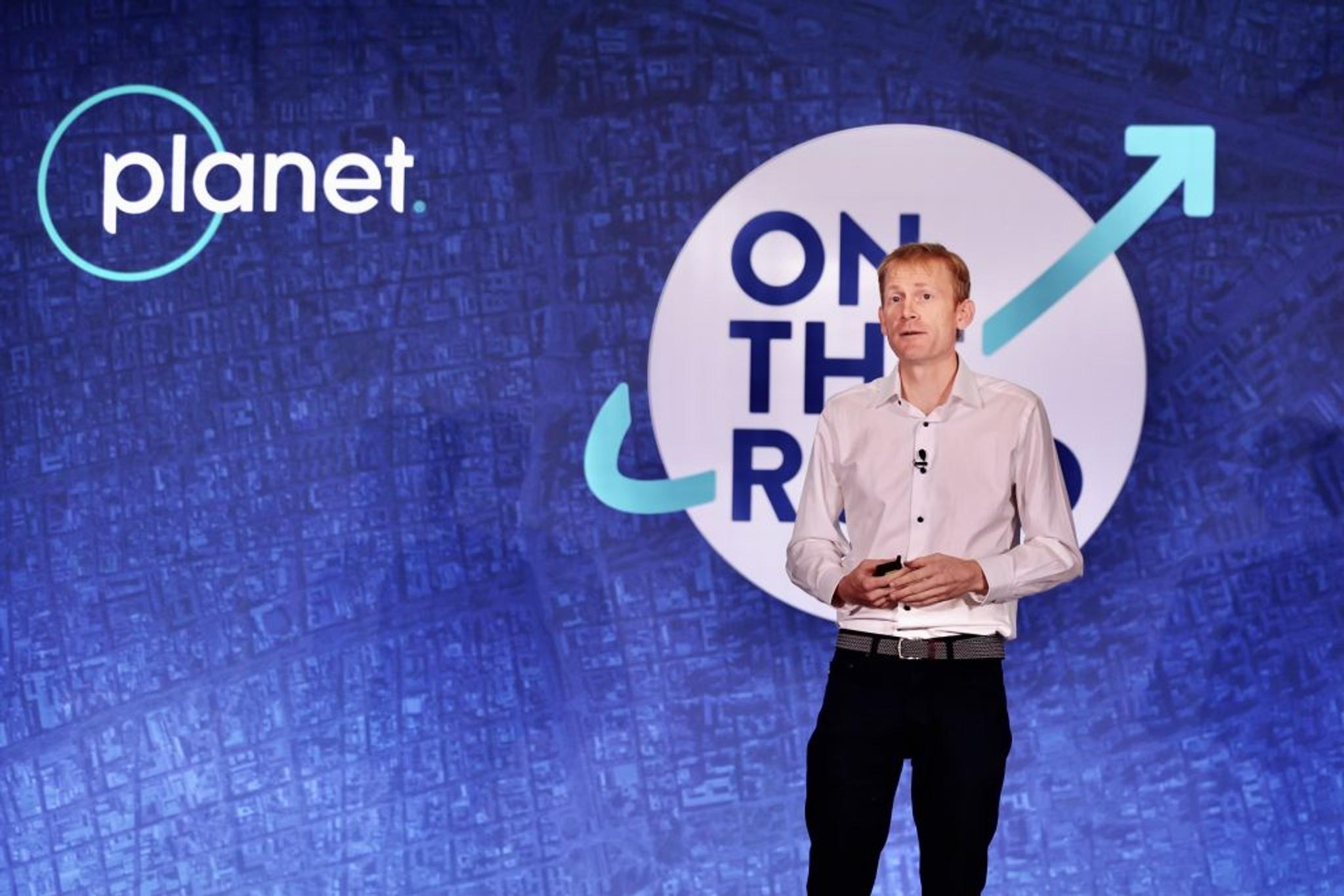
Planet CEO and Co-Founder Will Marshall giving his keynote presentation.
Following his keynote, Planet’s Robert Cardillo, Chief Strategist and Chairman of the Board of Planet Federal hosted a fireside chat with Major General Gagnon, Deputy Chief of Space Operations for Intelligence at the U.S. Space Force. He noted the U.S. Space Force’s new commercial strategy. Their strategy aims to leverage the commercial sector’s scalable production and rapid technology refresh rates to complement their existing operations and enhance the resilience of national security space architectures. At the event, Major General Gagnon expanded on how the U.S. Space Force has been leveraging commercial capabilities to enhance situational awareness, strengthen deterrence, and support strategic space advantage for the U.S. and its allies.
“Our commercial strategy can be wrapped up like this: We need to move fast. And we need to move fast for a very important reason, because our adversary is moving very fast. The remote sensing market is pivoting and changing. It’s now about the insights,” said Major General Gagnon. “These commercial satellites are shining sunlight, revealing the truth, and sunlight matters.”

Fireside chat with Robert Cardillo, Chief Strategist and Chairman of the Board of Planet Federal and Major General Gagnon, Deputy Chief of Space Operations for Intelligence at the U.S. Space Force.
In a panel discussion, moderated by Dave Gauthier, Chief Strategy Officer, GXO Inc., Devin Brande, Director, Commercial Operations Group at NGA shared how NGA supports the U.S. government’s strategic deterrence initiatives. NGA conducts intelligence analyses with geospatial data, building indications that can monitor behavior and detect activity internationally. With access to robust satellite imagery archives, NGA is able to look through time and across vast areas to see military movements, predicting actions and identifying early warnings.
“One area we are really excited about is the magnitude of data coming through. But how do we go to the next level? How do we make more effective use of that? Analytics. We need to bring to bear a human-computer team. In the government, we have so many edge cases that require deep domain expertise as well as deep data expertise,” said Devin Brande, Director, Commercial Operations Group, NGA.
In the same panel, Philip Ritcheson, Specialist Executive at Deloitte shared how geospatial data informs operational planning for governments and intelligence entities while Renny Babiarz, Vice President, Analysis and Operations at AllSource Analysis, a Planet partner, expanded on the importance of utilizing satellite data to alert governments regarding location-based information and change detection in near real-time. Notably AllSource Analysis reveals insights into international space launches.

Panel moderated by Dave Gauthier, Chief Strategy Officer, GXO Inc. and hosting Devin Brande, Director, Commercial Operations Group at NGA, Renny Babiarz, Vice President, Analysis and Operations at AllSource Analysis, and Philip Ritcheson, Specialist Executive at Deloitte.
“It was great to hear from government leaders – both in the U.S. and from around the world – about how commercial satellite data and AI is generating real, down-to-Earth, tangible solutions: enabling strategic deterrence, informing national security, mitigating disaster risk, and supporting climate resilience,” said Will Marshall at the end of the day. “EO data is one of the world’s greatest untapped resources, and we’ve only just scratched the surface. We are committed to continuing to embrace new technology and forging new partnerships to support your needs.”
2. The AI revolution is leading to novel solutions
We are living through a revolution in artificial intelligence, and at this event, we were thrilled to share how our Planet Insight Platform and the power of artificial intelligence is leading to novel solutions. Early in the day, Planet President and CFO Ashley Johnson walked the audience through the capabilities of our platform.
"We believe our job is to remove blindspots and give you insights that are multidimensional and multi-domain to maximize the impact of the actions you take," Ashley said as she provided a pertinent example for the defense industry. She showed a Planet satellite image of a patch of ocean with various clouds and maritime objects, demonstrating what it may be like for an analyst to identify a specific vessel.
“Finding something in an image like this, a task that many of you are faced with everyday, is like finding a needle in a haystack,” said Ashley Johnson. “A problem like this is where the applicability of our data to new AI really shines. Through the work of our partners and our internal software development teams, algorithms can quickly locate what is invisible to the naked eye. With a single reference image, we can locate objects of interest in minutes, not hours or days like traditional machine learning models.”
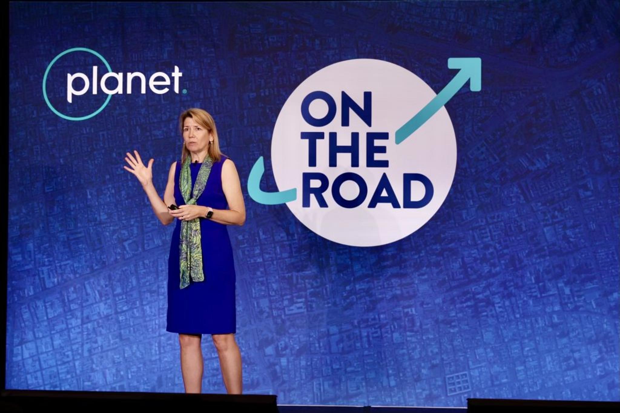
Ashley Johnson, Planet President and CFO, giving her keynote presentation.
To dive deeper into this tangible use case, Planet partner SynMax took the stage later in the day to showcase how they have combined Planet satellite data with their proprietary artificial intelligence algorithms to create a maritime awareness solution, Theia, for classifying and monitoring dark vessels. In March, Planet Federal announced that they are providing a maritime solution including Planet data with a fusion of technology from SynMax to the U.S. Naval Information Warfare Center (NIWC) Pacific for vessel detection and monitoring over key areas of interest throughout the Pacific. The project integrates both Planet’s daily, global PlanetScope data and high-resolution SkySat data into the Department of Transportation’s SeaVision platform, a web-based maritime situational awareness tool.
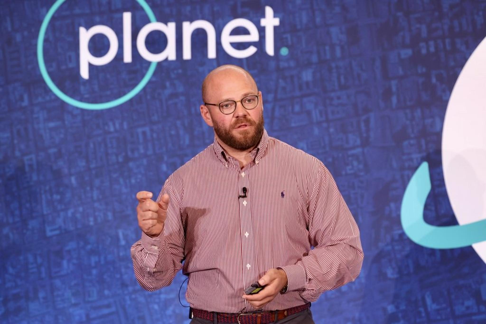
Dean Harkess, Director of Product, SynMax giving his presentation on SynMax's capabilities.
Our data and services operate in a platform ecosystem. In a dialogue with Ashley Johnson and Troy Toman, Planet Senior Vice President of Software Engineering, they discussed how the platform aims to serve customers and partners working in the analytics space.
"The Planet Insights Platform is a ‘one of many’ strategy. It’s about putting building blocks together to help you focus on what you’re best at. We see this as a platform within an ecosystem. It's about elevating and enabling access to the data itself," said Troy Toman. “AI gives us a way to take this data and turn it into insights more quickly, it’s not magic though. We cannot solve the customer problem in totality. The partner applications help bring the deep domain expertise.”
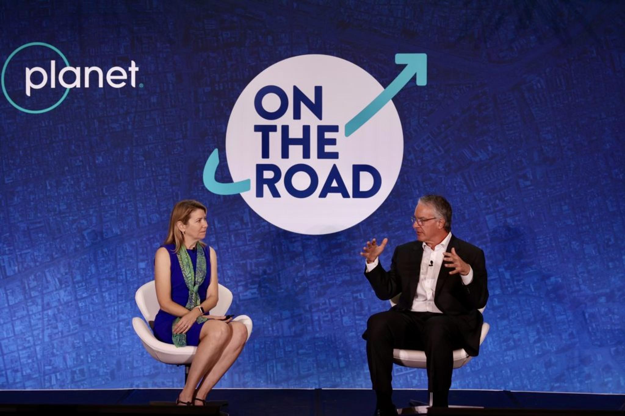
Dialogue with Ashley Johnson, Planet President and CFO, and Troy Toman, Planet Senior Vice President of Software Engineering.
3. Science and international collaboration is critical to combating climate-related risks
Our work integrating artificial intelligence with Planet data has also expanded to global ecosystems through the generation of solutions for resource management, disaster risk mitigation, and climate resilience. In a session at the conference, energy company PG&E shared how Planet’s AI-informed analytics feed on vegetation encroachment is enabling them to detect and manage vegetation surrounding their energy infrastructure in real-near time, helping to mitigate wildfire risk and protect civilians and ecosystems. In the same session, we heard from Syngenta who leverages Planet data to build digital agricultural solutions and Upstream Tech whose Lens platform enables their customers to make data-informed ecosystem management decisions, like reforestation. The science underpinning all of these resource management decisions is critical and we are proud of working with the U.S. government, commercial entities, and scientists around the world to support this.
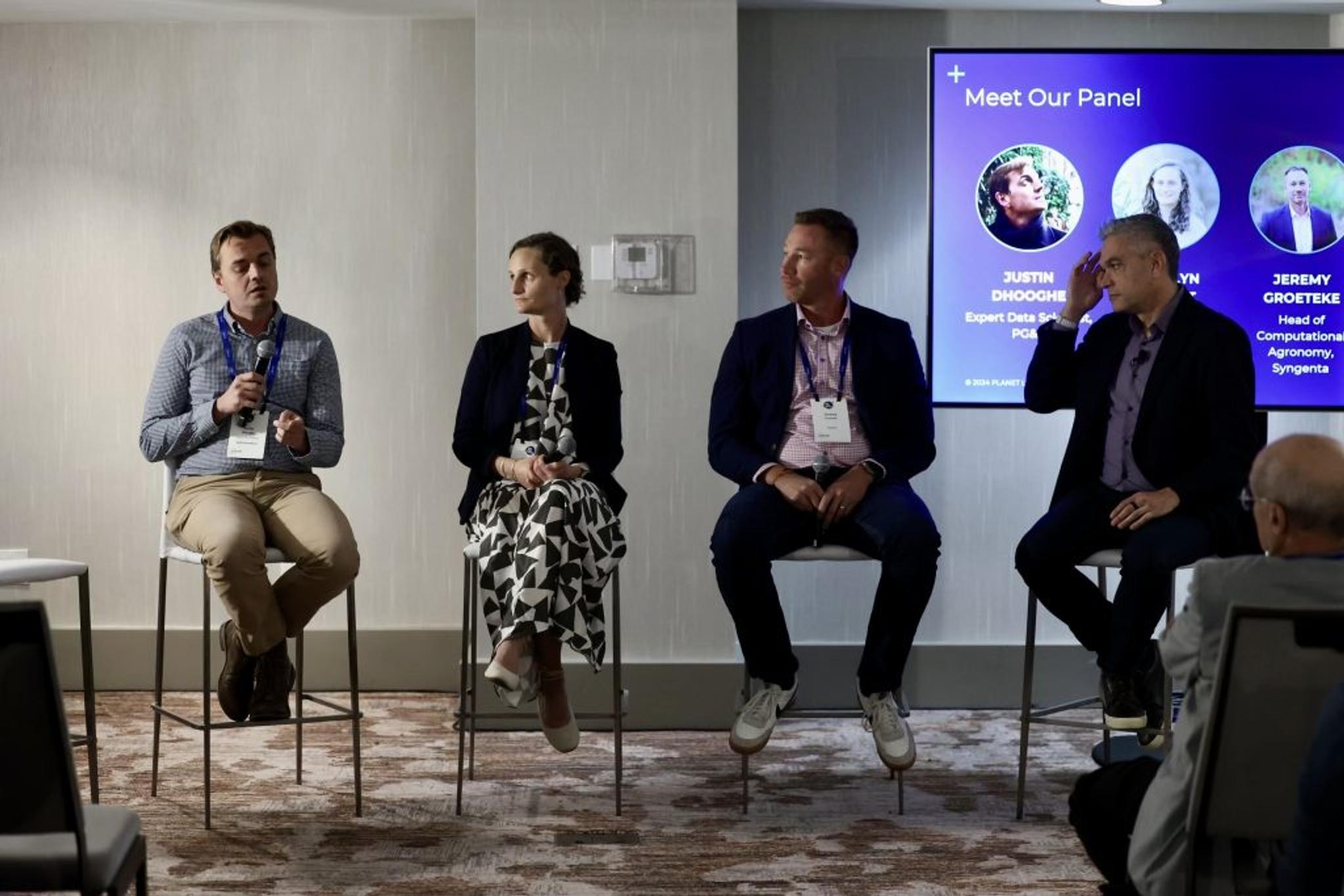
Breakout session with with Jeremy Groeteke, Head of Computational Agronomy, Syngenta Group, Justin Dhooghe, Expert Data Scientist, PG&E, Carolyn duPont, Chief Operating Officer, Upstream Tech, and Mike Merit, Chief Customer Officer, Planet as moderator.
“It is with pride that one of our biggest user bases is federally funded researchers through the NASA CSDA program,” said Will Marshall in his keynote. “We have supported thousands of users and 25 government agencies through the program. And the NASA CSDA Program is only a portion of our science user base that has used our data to publish more than 3,500 scientific papers. Access to Planet’s data by the science community continues to broaden the use of EO data, identifying solutions for some of the biggest challenges we are facing today.”
Later in the day, Florence Tan, Deputy Chief Technologist, NASA Science Mission Directorate moderated a science-to-action session, where university researchers and scientists shared how they are applying Planet’s satellite data to persistent challenges associated with human-impacted climate change and disasters to shape resilience for the future. Lindsay Smart, Climate and Ocean Scientist from The Nature Conservatory (TNC) explained how they are helping to protect mangrove ecosystems by integrating Planet satellite data in their Blue Carbon Explorer Tool. The session was also joined by Sergii Skakun, Associate Professor at University of Maryland College Park who has leveraged Planet data to research climate and conflict-linked food insecurity around the globe and David Roy, Professor and Director, Center for Global Change and Earth Observations at Michigan State University who uses remote sensing data to characterize human- and climate-induced global change.
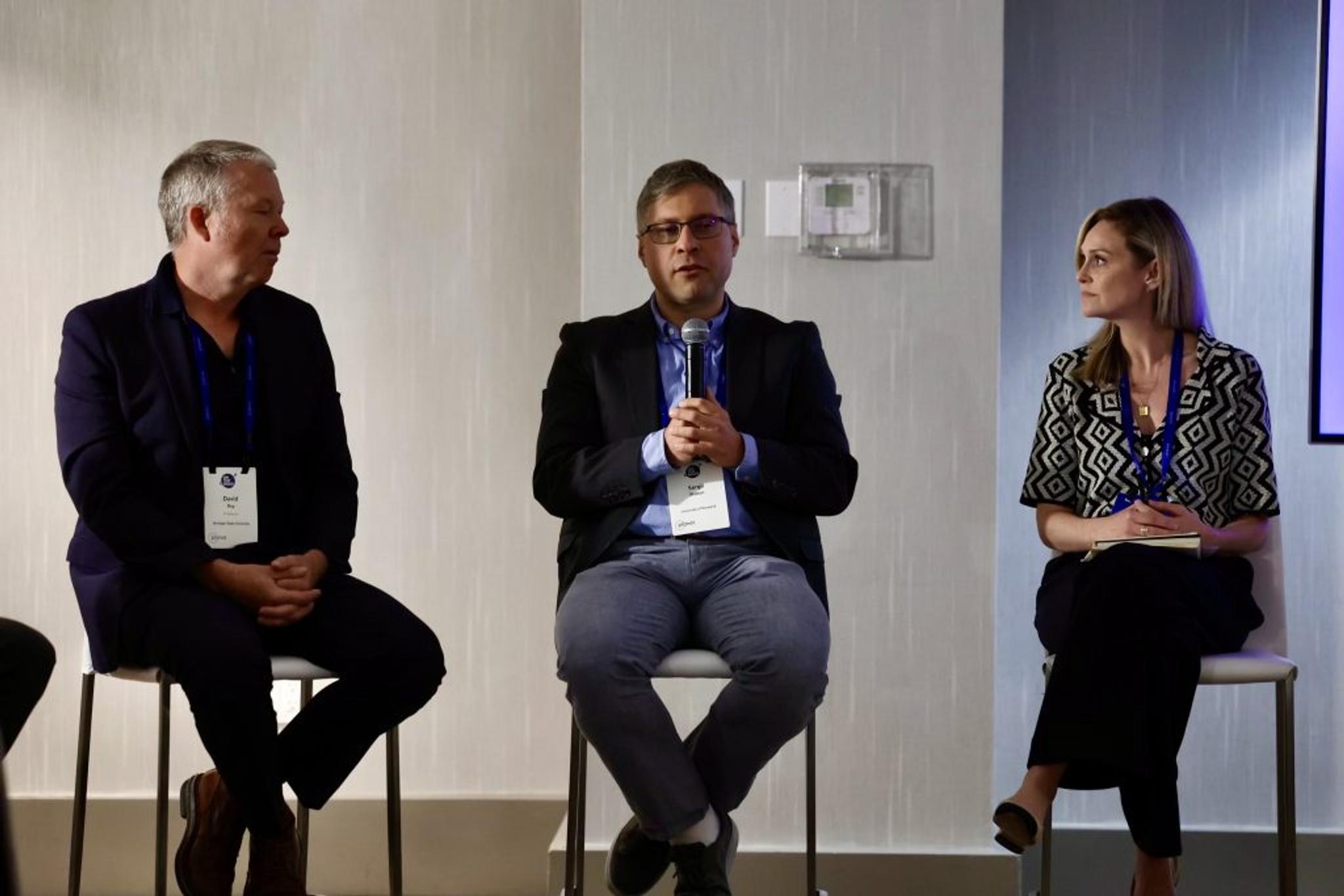
David Roy, Professor, Department of Geography, Environment, & Spatial Sciences and Director, Center for Global Change and Earth Observations, Michigan State University, Sergii Skakun, Associate Professor from University of Maryland College Park and Lindsey Smart, Climate and Ocean Scientist of The Nature Conservancy participating in the Science-to-Action breakout session.
Beyond our work with NASA, we were proud to expand the conference conversation to the global space organizations! Will Marshall was thrilled to host international space attachés for a discussion about their national priorities and how satellite data is being leveraged to solve unique challenges by international governments. The dialogue welcomed the German Aerospace Center, the Japanese Aerospace Exploration Agency, and the Canadian Space Agency to highlight how new geospatial capabilities are helping to advance society's sustainability, science, climate, and development policy agendas. Germany’s Marc Jochemich emphasized the country’s focus on driving forward early stage technologies and wholistically improving scientific knowledge, Japan’s Masami Onoda emphasized the nation’s work in monitoring their extensive coastlines with satellite data, and Canada’s Jill Smyth shared that they are evaluating the impacts of climate change on the arctic and integrating satellite data with indigenous community knowledge to better understand and manage their environments.

Planet Co-founder and CEO, Planet Will Marshall moderating panel with Marc Jochemich, Head DLR Washington Office at German Aerospace Center, Masami Onoda, Director, Washington D.C. Office at Japan Aerospace Exploration Agency, Jill Smyth, Counselor for Space Affairs at Canadian Space Agency.
Overall, we were inspired and impressed by all of the powerful science-informed insights that were shared today from around the world. The work to combat climate change requires commercial innovation, scientific clarity, and international collaboration. Earth observation data is one of the world’s most untapped resources. So, we look to continue to foster relationships across the public and private sectors and across the world to ensure that our data is providing useful insights.
There are three global trends our society is undergoing: Peace and Security; Sustainability and Regulation; and Digitization and AI,” emphasized Will Marshall at the event. We believe that we’ve only just scratched the surface of the potential satellite data has for advancing all three of these trends.
Note: The U.S. Government’s attendance at the event does not imply or constitute the U.S. Government’s endorsement of Planet’s products.

Ready to Get Started
Connect with a member of our Sales team. We'll help you find the right products and pricing for your needs.

