
Planet Releases Analysis-Ready PlanetScope Product for Time-Series Analysis and Machine Learning Models
Today, we’re thrilled to release Analysis-Ready PlanetScope (ARPS). ARPS harnesses a cutting-edge proprietary algorithm to create harmonized and spatially consistent near-daily stacks of images that enable time-series analysis and machine learning applications.
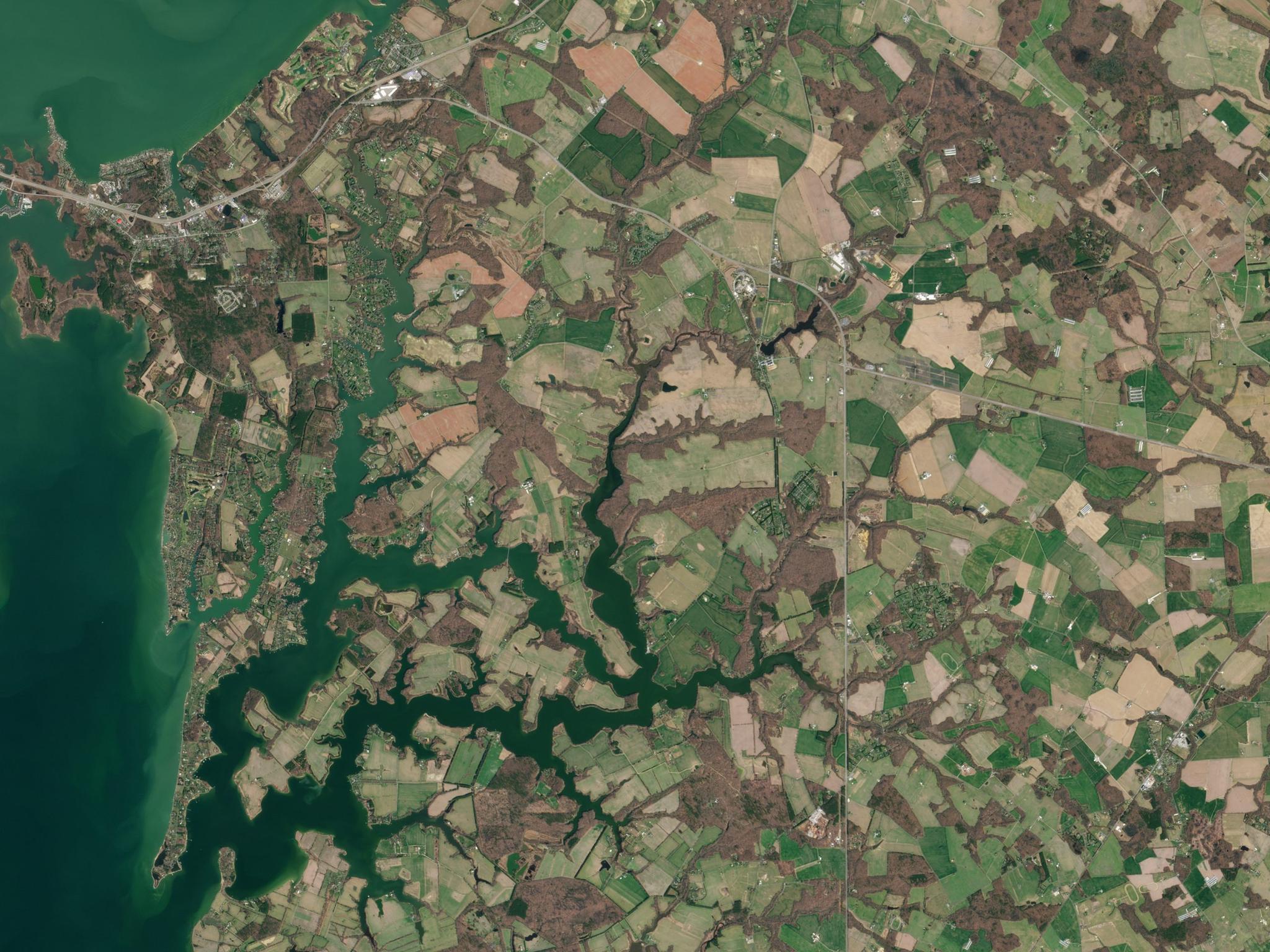
ARPS normalizes data from PlanetScope’s daily 3m imagery by reducing inconsistencies between captures. It then harmonizes that data with temporally and spatially consistent third-party sources (like Landsat, Sentinel-2, MODIS, and VIIRS) to produce a pre-processed stack of imagery. The result is a more precise dataset that’s readily-available for manipulation, analysis, and visualization in the Planet Insights Platform.
While PlanetScope data enables timely investigations and real-time decision-making, ARPS is optimized for temporal analysis that takes the past into account and ensures accurate measurements for changes over a long period within an area of interest. Its consistency and customization means users spend less time formatting data and more time analyzing how it’s changing.
Comparison of Analysis-Ready PlanetScope to PlanetScope Surface Reflectance Scenes. Analysis-Ready PlanetScope shows improved radiometric consistency over time and spatially-composite PlanetScope Scenes yield more complete coverage over AOIs.
“Government entities and commercial customers alike often utilize satellite data and machine learning algorithms to manage large areas of land,” said Troy Toman, Planet’s Chief Product Officer. “But current models are often built with data that is inconsistent, misaligned with third-party sources, or require extensive time to prepare. ARPS solves this challenge by streamlining data for analysis and is the latest offering in a suite of products that empower users to get the most from their AI and ML models.”
ARPS is a critical tool for Planet users seeking ways to manage large areas of land more efficiently. For civil government agencies that monitor and enforce regulations of natural resources, ARPS enables them to detect deviations such as unauthorized pesticide use or deforestation and intervene expediently. For agricultural operations, ARPS can provide accurate and timely information on vegetation health, irrigation needs, and invasive species detection. In forestry, companies leveraging ARPS can better estimate biomass, conduct post-fire recovery assessments, and monitor carbon stocks.
“Analysis-Ready PlanetScope has had a tremendous impact on our product,” said Joaquin Peraza, CTO at Oryzativa. “We significantly reduced our error-rate percentage on biomass growth modeling after moving to ARPS from Landsat and Sentinel data, and we’re excited to continue using ARPS to help improve the accuracy of our models.”
In a rapidly changing, data-saturated world, tools that help separate the signal from noise are more important now than ever. With ARPS integrated into the Planet Insights Platform, stakeholders have an accessible, near-daily way to analyze the relevant changes that matter to them over time all in one place.
Learn how ARPS helps solves challenges facing data scientists and image analysts in this Agile EO webinar.
Ready to Get Started
Connect with a member of our Sales team. We'll help you find the right products and pricing for your needs.