
Planet Data Helps Geologists Efficiently Monitor the Melting Arctic
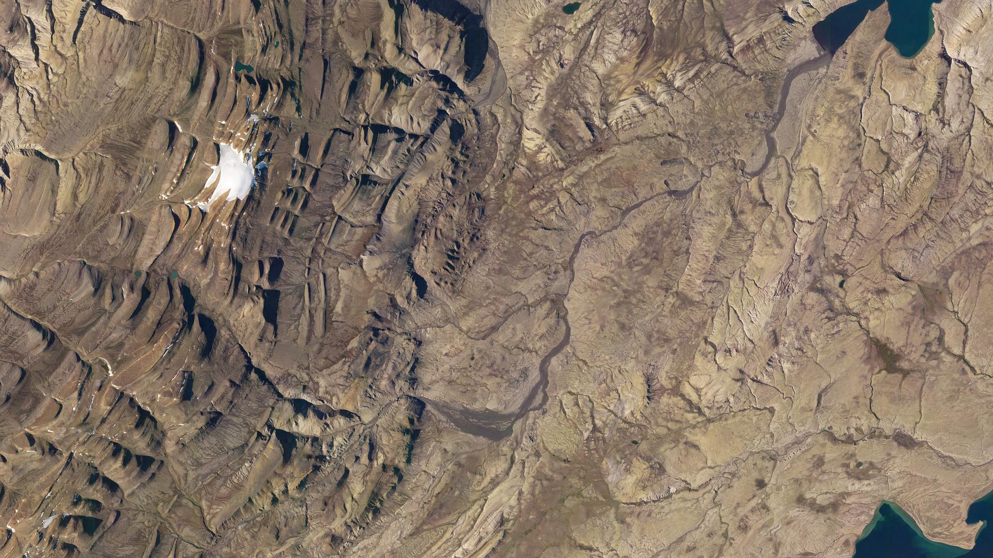
The arctic landscape of Axel Heiberg Island, Canada. Captured by a Planet Dove-R on August 15, 2019. ©2019 Planet Labs, Inc. All rights reserved.
StoriesFor geologists like Dr. Anna Grau Galofre of Arizona State University, just getting to Axel Heiberg Island in the Canadian High Arctic to do research is a time-consuming and expensive endeavor due to weather conditions. High above the Arctic Circle, snow can be present one day and gone the next, while sunny 17 degrees Celcius days can give way to freezing rain with little notice.
Because of this, Grau Galofre has to take multiple flights aboard a series of commercial jets and Twin Otter propeller-powered airplanes, which can amount to costs of thousands of dollars. But with the aid of Planet data, Grau Galofre is able to monitor the near-real-time conditions of the island and make better decisions about how to spend time and resources.
“If we fly out to an area and it’s covered in snow, we’ve wasted time and money because we can’t see the landscape once we get there,” Grau Galofre says. “Planet gives us the ability to see up-to-date images so we can tell what areas are clear for us to visit. It’s incredibly valuable.”
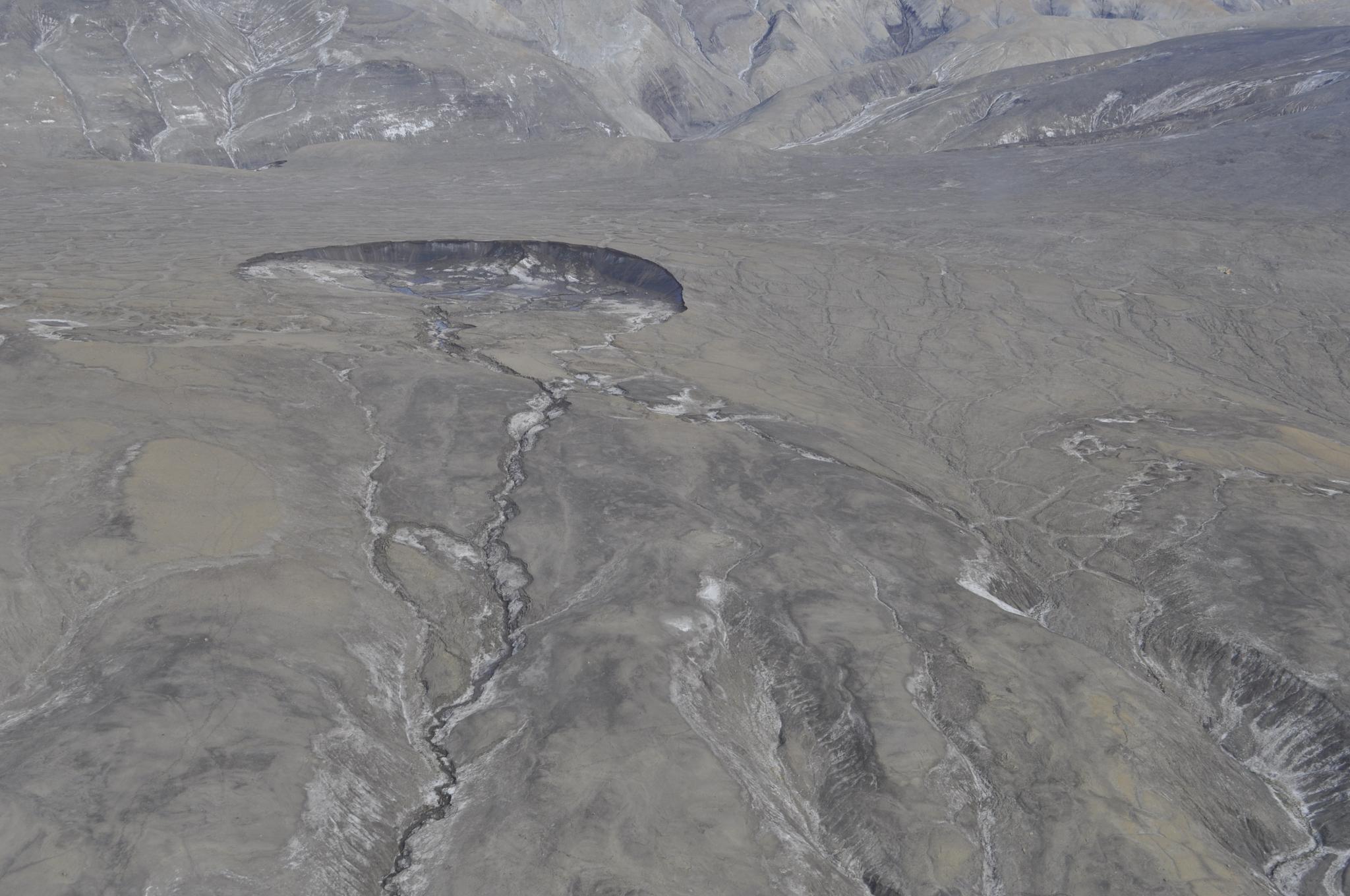
PlanetScope imagery is also useful for Grau Galofre’s team as they research changes in the Earth’s surface triggered by permafrost melting. Permafrost occurs in the Arctic in places where the ground has remained frozen for at least two years, making the ground as tough as concrete. Tracking and researching permafrost locations is increasingly necessary due to the effects of climate change, which are causing permafrost to melt at a rapid rate.
.
Ready to Get Started
Connect with a member of our Sales team. We'll help you find the right products and pricing for your needs.