Modelling Above Ground Biomass Using Sentinel 2 and PlanetScope Data in Dense Tropical Montane Forests of Tanzania
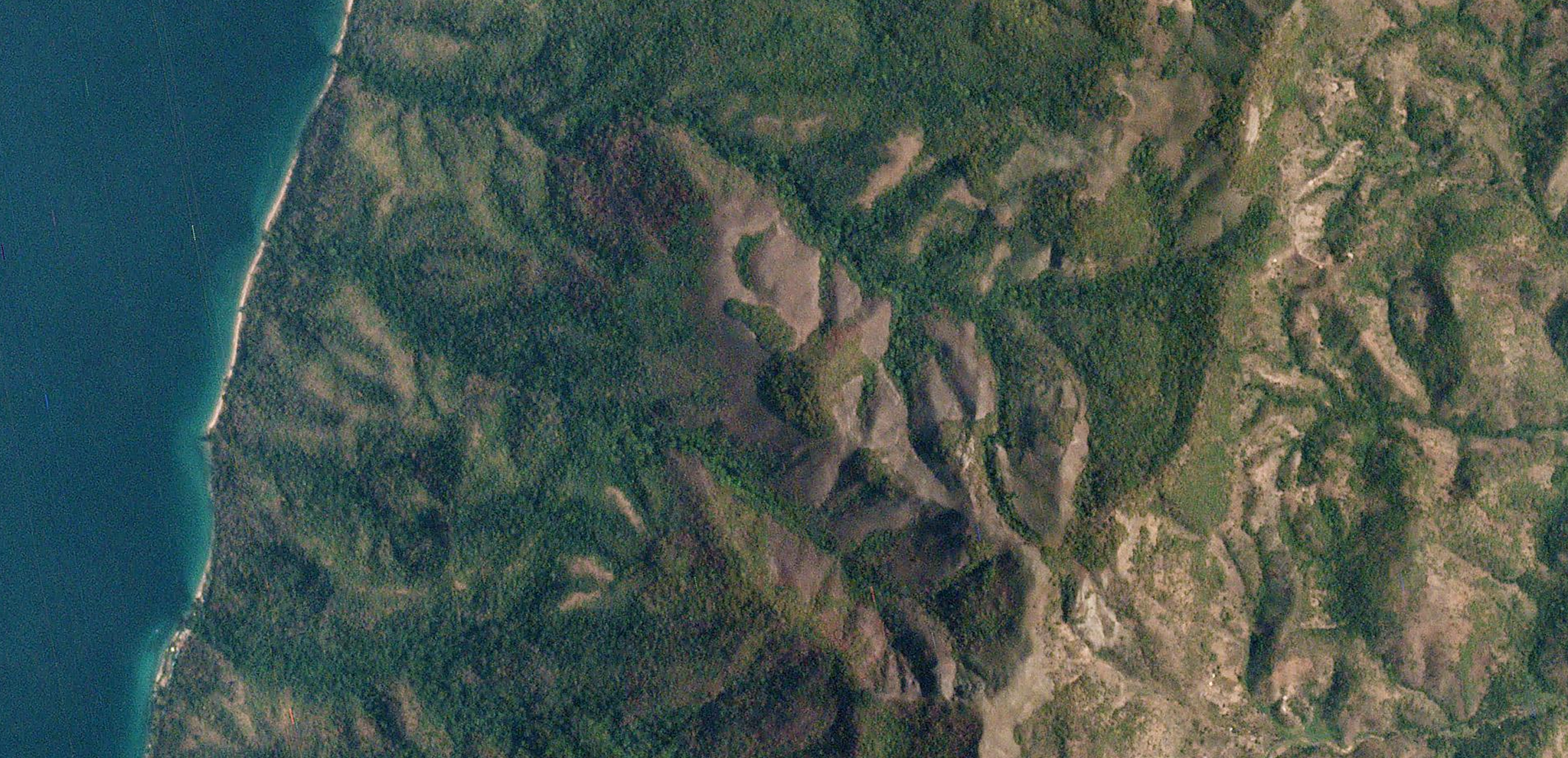
Governments and NGOs around the globe are looking at ways to effectively monitor and report on carbon sources and sinks in an effort to mitigate climate change. Large programs within these initiatives focus on the protection of forests and the measurement of forest biomass as a way to quantify the role of forests as carbon sources or sinks. However, collecting biomass data from on-the-ground field-based inventories is challenging to scale. To advance research on this topic, researchers Ernest William Mauya and Sami Madundo from Sokoine University of Agriculture in Tanzania, used PlanetScope data to model above ground biomass in the dense tropical montane forests of Tanzania. Using satellite data, the researchers were able to conduct this research on a large scale and analyze 296 field inventory plots. In tandem with Sentinel 2 data, Planet’s data was integrated into Above Ground Biomass (AGB) models, enabling scientists to make advanced biomass estimations in the region. “Both Sentinel 2 and PlanetScope improved the precisions of AGB estimates for about 20% and 10% respectively as compared to pure field based measurement,” said the authors. This study demonstrated that Sentinel 2 and PlanetScope data could be used to generate a cost-effective method for analyzing AGB in Tanzanian forests. The full study can be found in the Tanzania Journal of Forestry and Nature Conservation.

Ready to Get Started
Connect with a member of our Sales team. We'll help you find the right products and pricing for your needs.


