
Quarterly Product Release Roundup: Integrations, Planet Explorer and More
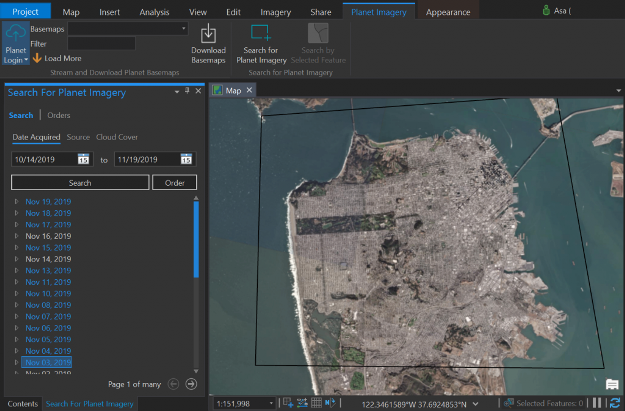
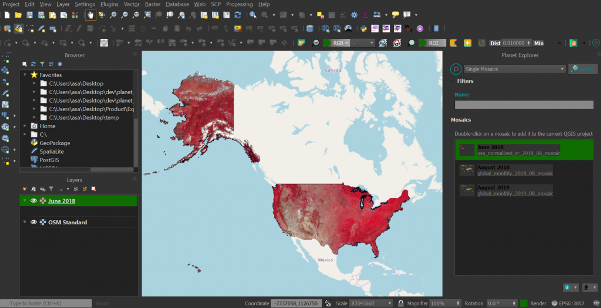
It’s been a banner year for product releases, from Planet Basemap updates to Next-Generation PlanetScope to Planet Analytic Feeds. Big releases are great, but just like holiday stocking stuffers, it’s sometimes the smaller things that people love most. We wanted to highlight a few recent releases that may appear simple, but are bringing significant value to our customers. As previewed at Planet Explore, we launched two new integrations that will help our customers bring Planet imagery into their preferred mapping and analysis environments and combine our data with their authoritative content and other geospatial data to generate new, unexpected insights. Previously, the Planet ArcGIS Pro Add-in enabled our customers to bring Planet Basemaps into the Esri ArcGIS Pro environment. In version 2.0, released this month, the add-in now supports PlanetScope and SkySat imagery, as well as public sensors like Landsat and Sentinel. With this update, customers will be able to take advantage of all Planet imagery products and leverage the tools and features of ArcGIS Pro to enhance their analysis.
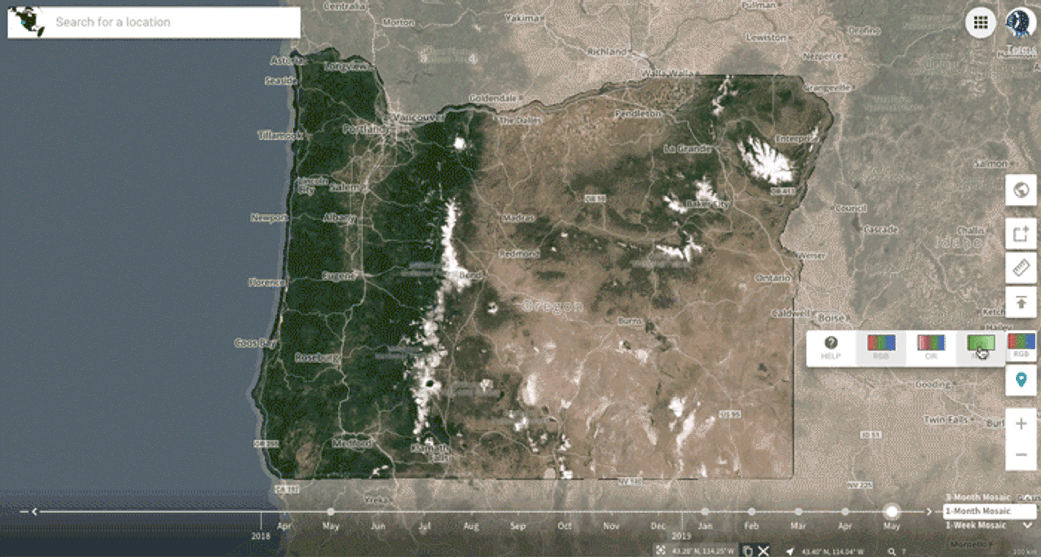
- RGB
- Normalized Difference Vegetation Index (NDVI)
- Color-infrared (CIR)
- Normalized Difference Water Index (NDWI)
- Visual Atmosphere Resistance Index (VARI)
- Modified Soil-adjusted Vegetation Index (MSAVI2)
- Modified Triangular Vegetation Index (MTVI2)
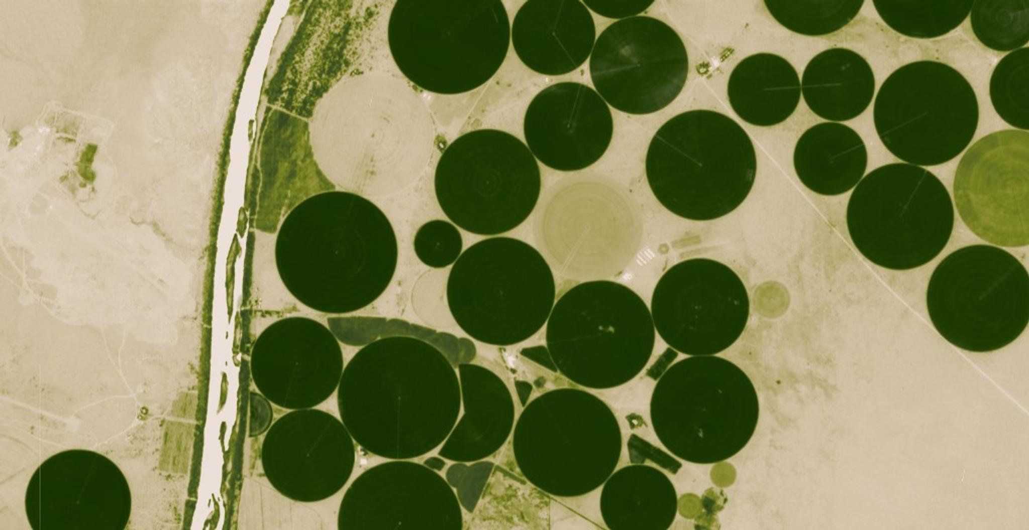
What can this be used for? A forestry customer who is interested in understanding vegetation change can use the NDVI index on a monthly Select Surface Reflectance Basemap to quickly locate small disturbances, giving them the opportunity to send their field agents to inspect what’s going on before conditions worsen.
Ready to Get Started
Connect with a member of our Sales team. We'll help you find the right products and pricing for your needs