
Satellite Imagery Provides a Glimpse Into Medieval Times
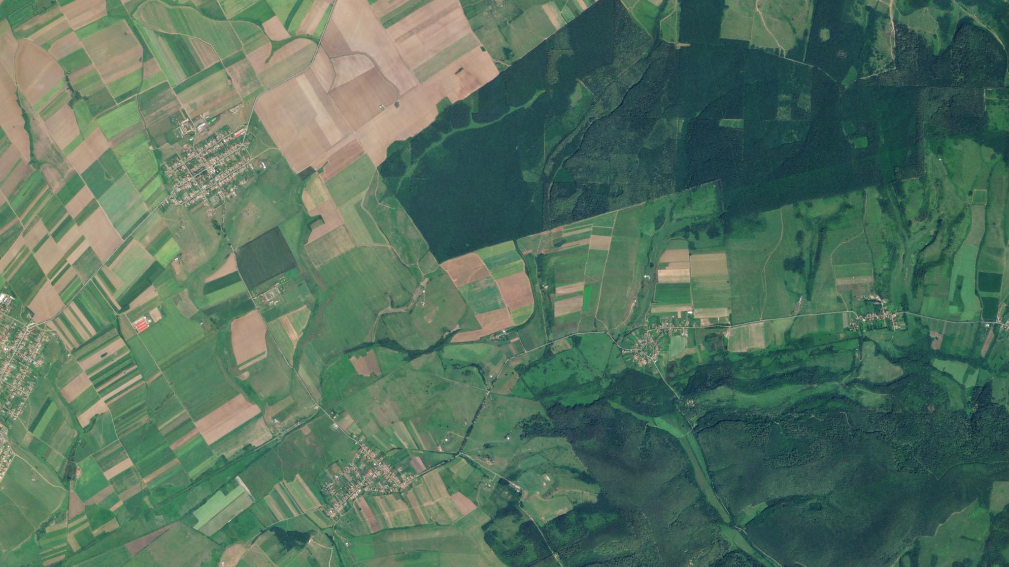
PlanetScope image of Mașloc, Romania where this archeology site was located © 2020, Planet Labs Inc. All Rights Reserved.
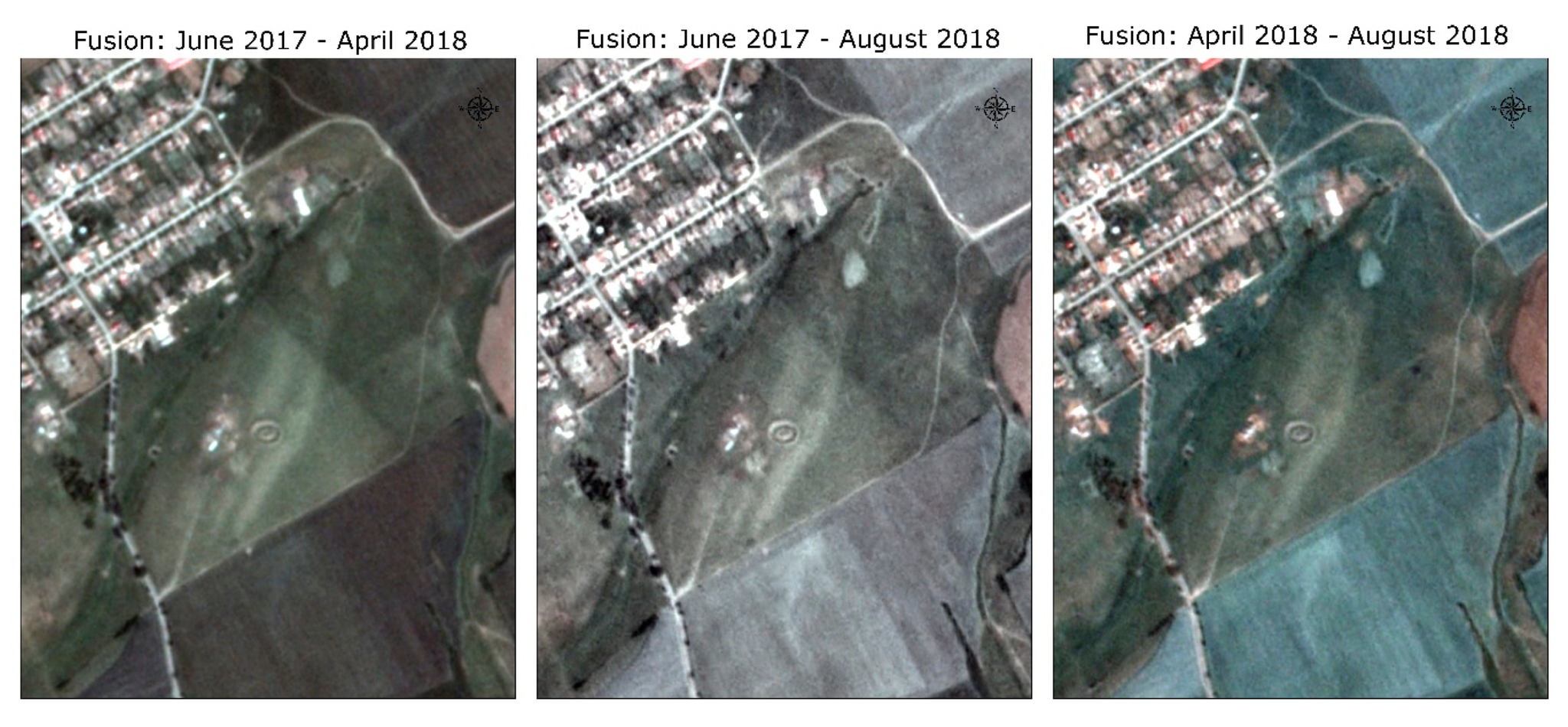
StoriesA new study has successfully combined Planet imagery with information processing algorithms in order to study and reconstruct medieval archaeological sites without causing any damage to these historical locations.
Using a synthesis of remote sensing and geoinformatics, an archeological exploration has uncovered the layout of a medieval village located at Șanțul Turcilor, near Mașloc, Romania. This study documents medieval village urban planning within Eastern Europe through geoscientific methods and sets the stage for future remote sensing based archeology.
The researchers were able to access Planet medium resolution PlanetScope imagery through our Education and Research Program. Launched in 2017, this program offers university researchers, academics, and scientists the opportunity to utilize our unique imagery in order to monitor and study field sites with daily satellite imagery.
Ready to Get Started
Connect with a member of our Sales team. We'll help you find the right products and pricing for your needs.