
Start the Growing Season Off Strong with Satellite Data
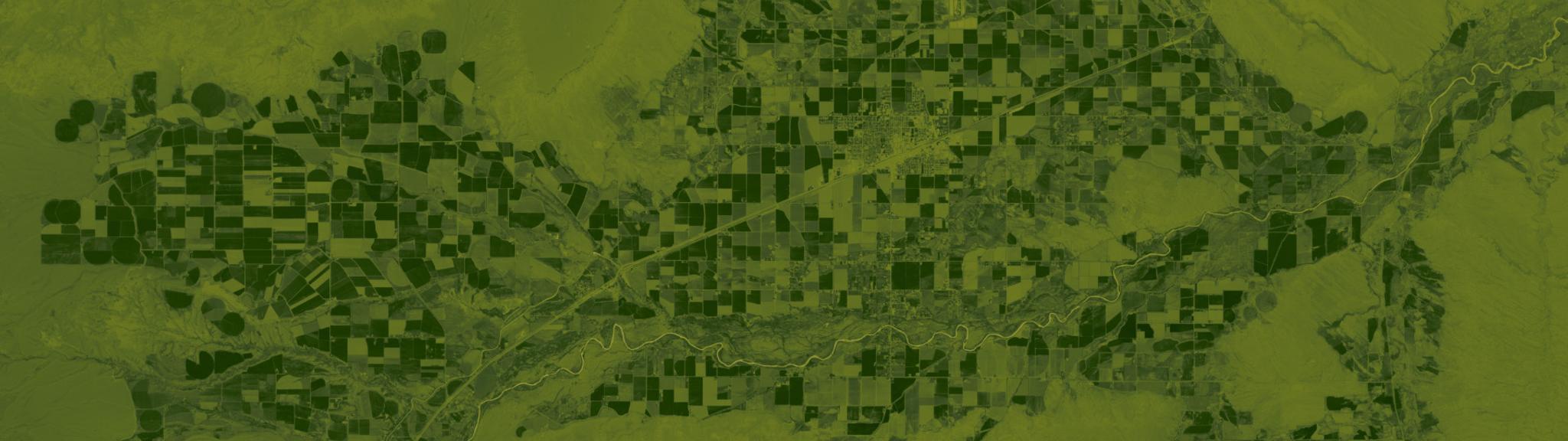
Fields near Powell, Wyoming. Normalized Difference Vegetation Index calculated from Planet’s June 2019 surface reflectance basemap. © 2019, Planet Labs Inc. All Rights Reserved.
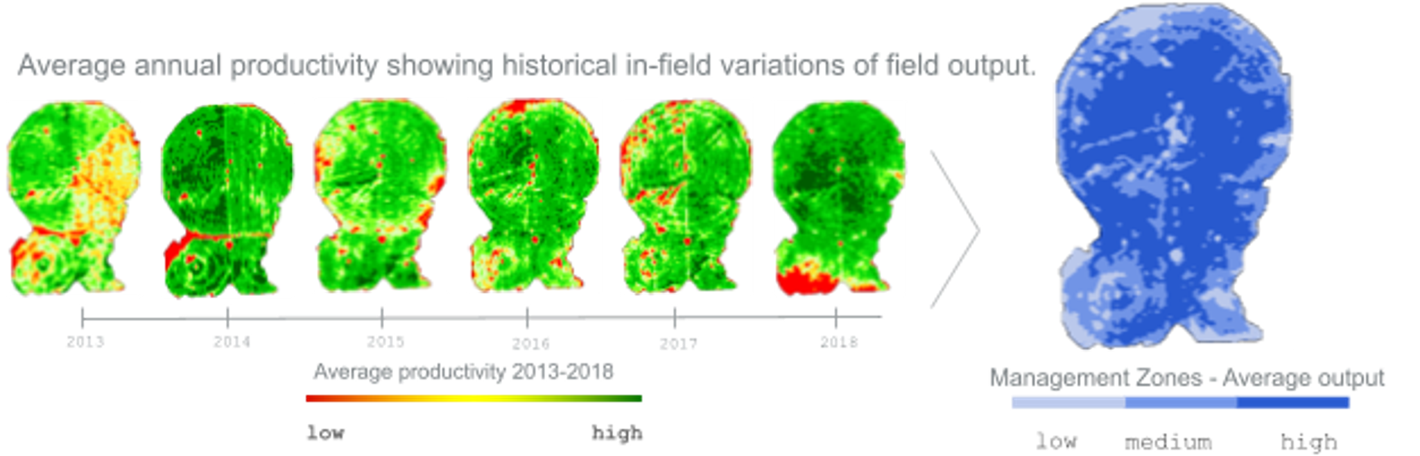
StoriesPlan with Confidence and the Best Field Data Available As the new growing season opens, growers are looking to put the uncertainties of 2020 behind them and start fresh. Digital technologies and the increasing availability of data from the field help provide a fresh perspective on where to focus resources and ensure a strong start for the year. But where growers’ equipment data isn’t available or reliable, remote sensing data from satellite imagery is a scalable way to help with planning and early season operations. Growers can analyze multiple years of data to understand crop yield trends or build management zones based on analysis of cover crops. Planet’s reliable, high-frequency satellite imagery offers broad area field coverage and dense time-series of field data to track productivity, providing the grower a range of insights to help them prepare for the season ahead. Provide Answers to Top Planning Concerns of GrowersHow Productive Are My Fields? Vegetation indices calculated from near-daily PlanetScope imagery show where crop productivity is highest and lowest, as well as establishes baselines for in-field variation. Dense, year-over-year satellite data can also highlight topography and soil properties over broad areas, enabling growers to direct resources across vast field areas with greater reliability. [caption id="attachment_146370" align="aligncenter" width="826"]
Ready to Get Started
Connect with a member of our Sales team. We'll help you find the right products and pricing for your needs