State and Local Government Continue to Leverage Planet Data in 2020
State and local government officials are realizing the value that remote sensing data can provide for governance, and Planet has been generating strong civil government partnerships to support them. The New Mexico State Land Office (NMSLO), for example, utilized Planet data to address critical governance challenges, and will be presenting their Planet uses cases at the National States Geographic Information Council (NSGIC) conference this week.
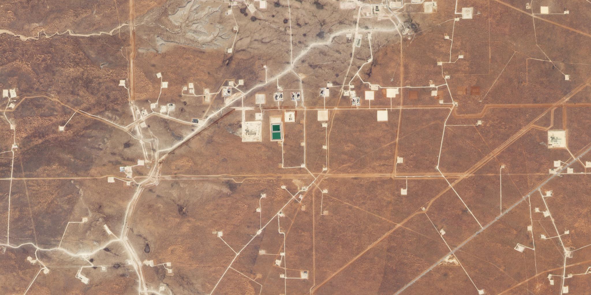
NMSLO used Planet’s data to monitor known active and inactive mines to see if trespassing or other violations were occurring. With the help of a Planet Explorer trial, they discovered five violations, resulting in $800,000 worth of fines.
Due to the success of the initial trial, NMSLO contracted with Planet to get daily three meter resolution imagery for the Permian Basin, where they were able to locate both trespass violations and material releases.
After 12 months of using Planet’s data, they identified 53 trespasses with $2.7 million in back payments. From the 53 trespasses, 22 resulted in new leases and they generated over $800,000 in new revenue.
In the future, NMSLO looks forward to partnering with Planet to track spills, illegal dumping, site remediation and more.
“In the past, the New Mexico State Land Office would use imagery captured from several sources. While beneficial, it was expensive and the imagery was usually out of date by months if not years by the time it was available,” says commissioner of public lands, Stephanie Garcia Richard. “Planet’s data provides up-to-date information when we need it and empowers us to take action.”
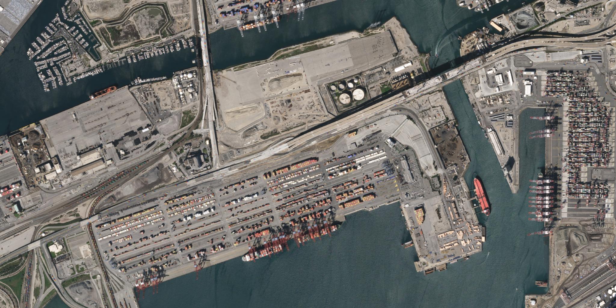
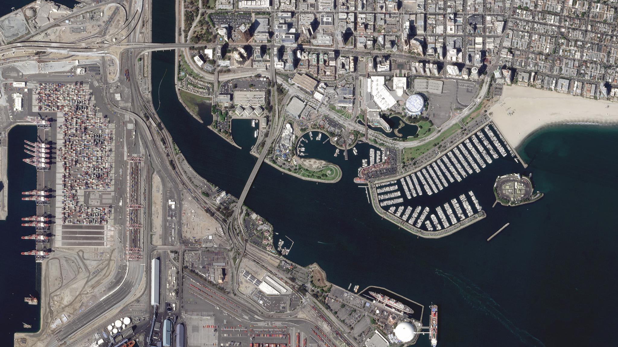
The Port of Long Beach (POLB) has also derived considerable value from Planet’s data. As the second busiest container port in the United States, it generates approximately $100 billion in trade and employs more than 316,000 people in southern California.
Using SkySat imagery, the POLB monitored development and construction projects over the core of the port. The imagery collected will be used to ensure that safety concerns and traffic are being addressed, and will also be utilized as a key dataset for any potential emergency situations like earthquakes and floods.
Previously, the POLB relied on the use of helicopters and fixed winged aircraft to deliver photos chronicling construction efforts, according to Shaun Healy, IT project manager for POLB. While a wealth of images are collected from airborne platforms, their value diminishes quickly over time.
“Relying on Planet’s weekly satellite capture to supplement construction activities is an excellent way to avoid the time and materials required to reproduce images from these airborne platforms,” Healy says.
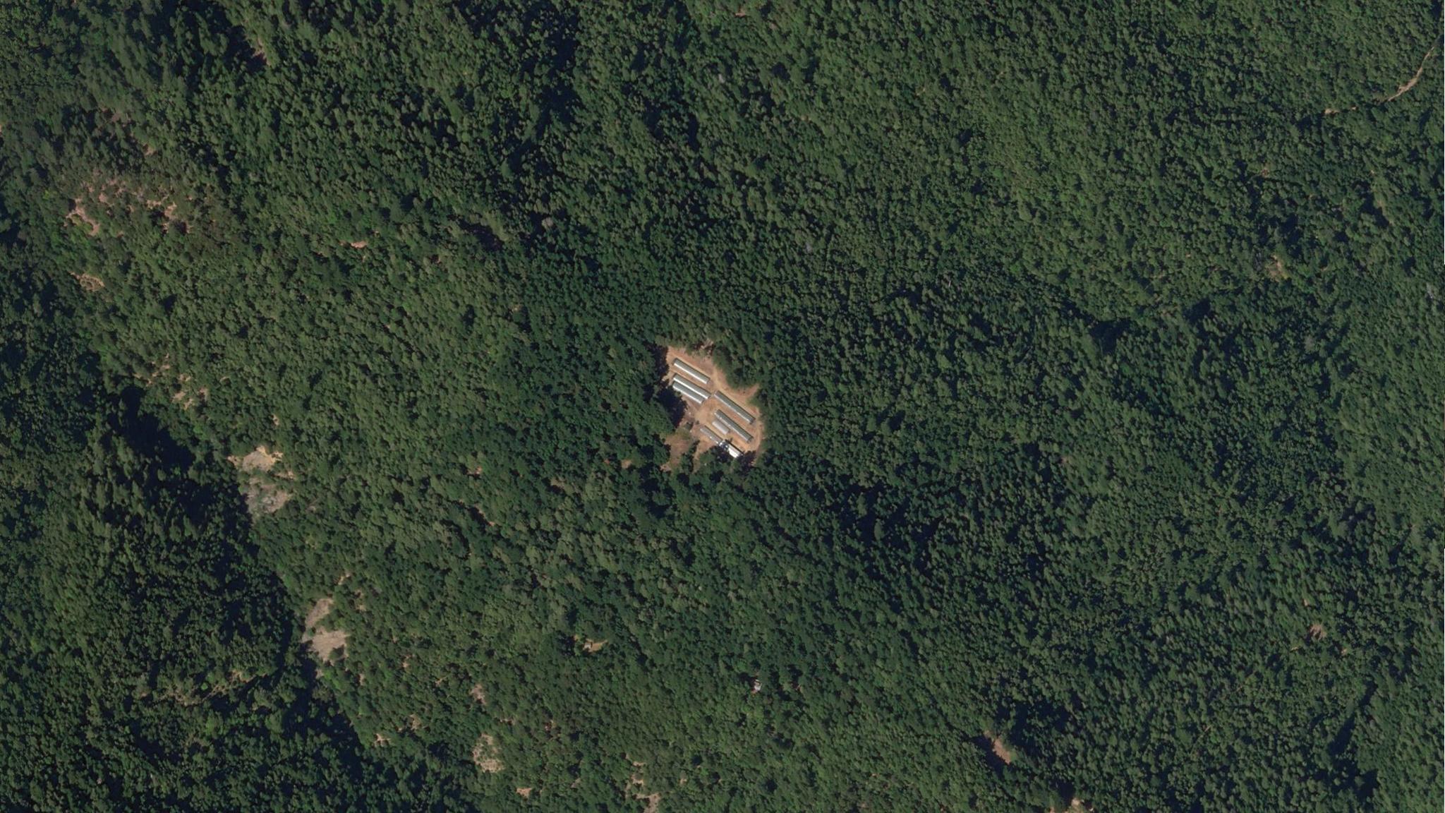
Following the legalization of cannabis in California, Humboldt County needed a cost-effective, scalable way to address illegal cultivation. The remote, rugged and densely forested landscape of Humboldt posed considerable challenges in terms of access and visibility, and at the time of legalization, it was estimated that there were around 15,000 cultivation sites across the county.
To deal with these challenges, Humboldt County used Planet’s high resolution SkySat imagery to proactively identify and monitor applicants and permitted and unpermitted cannabis cultivation operations across the county (10,000 sq km). The SkySat spatial resolution was able to easily distinguish small forest disturbances and expansion of operations, helping the county and cultivators achieve greater compliance.
“Previously, Humboldt County had a complaints-based, reactionary model to enforcement that was resource-intensive and insufficient for deterring violations,” says Humboldt County’s planning and building department deputy director Bob Russell. “Reliable and timely data and large coverage at the needed temporal and spatial resolution empowered us to exceed our program objectives, resulting in both viable deterrents to violators and incentives for applicants and permit holders leading to greater compliance.”
State and local governments across the world continue to find ways to utilize Planet’s unique data set. Our customer base also includes the City and County of San Francisco, Autoridad Nacional de Licencias Ambientales in Colombia, the Florida Fish & Wildlife Conservation Commission and the County of San Luis Obispo in California.
To find out how to register for the NSGIC conference and learn more about NMSLO’s use of Planet data, click here. If you’re interested in discovering how Planet can benefit your state and local government, contact sales@planet.com.