StoriesStoriesSatellites enable disaster management for unprecedented Australian floodsPlanet Labs PBC |February 15, 2023|6 min readRead more
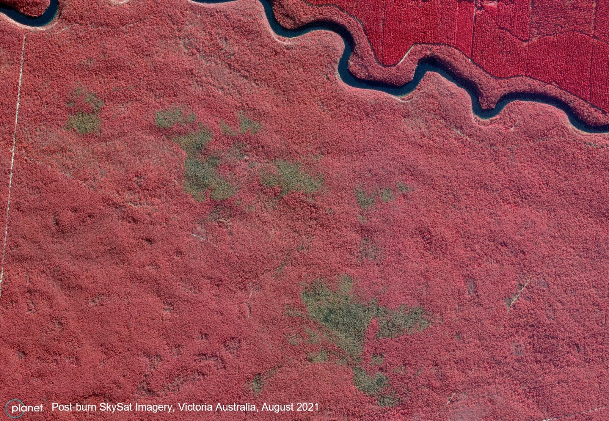
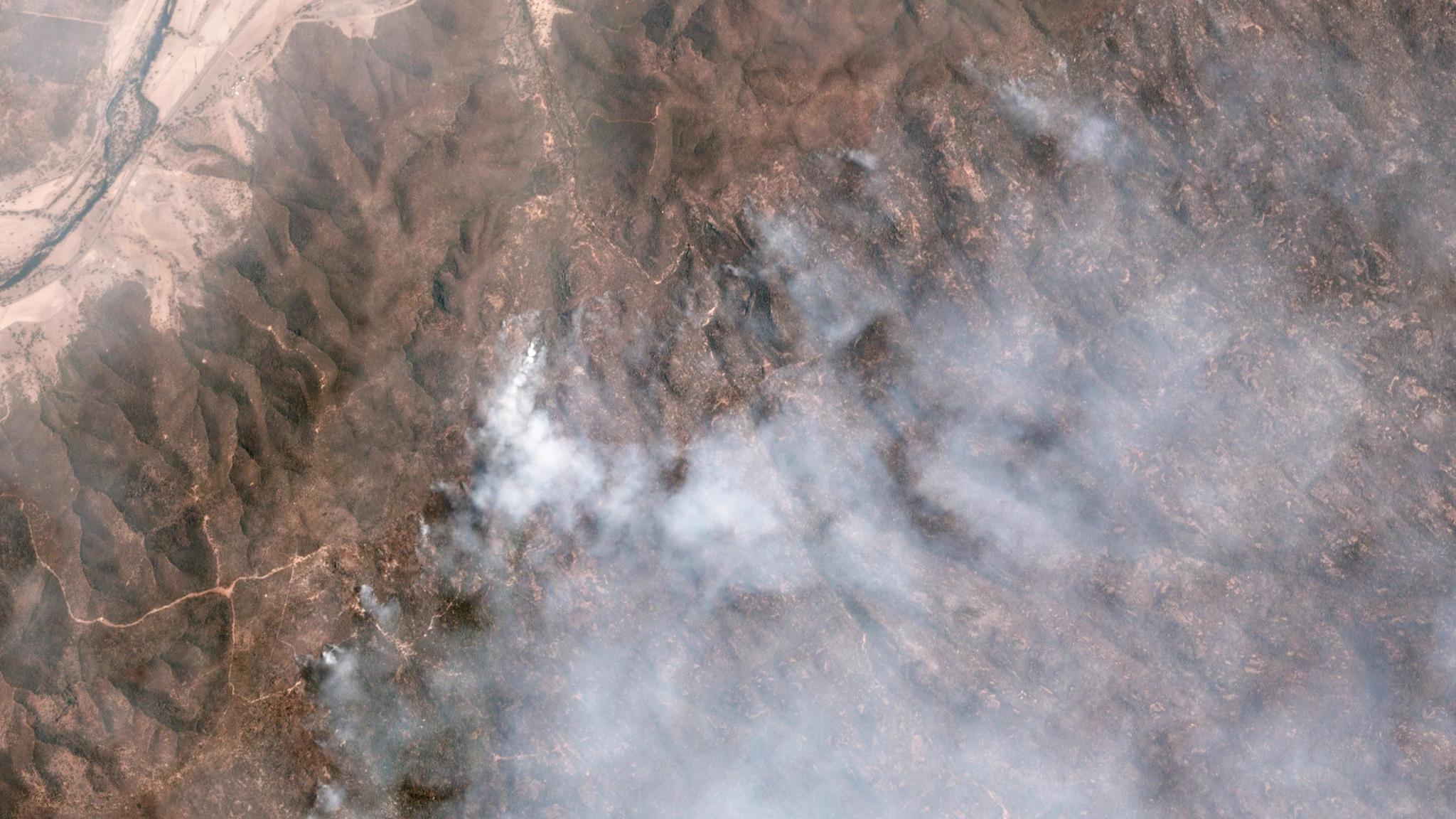
StoriesStoriesPlanet’s Rapid SkySat Data Enables Effective Regional Bushfire Management in AustraliaLauren Cottrell |September 30, 2021|4 min readRead more
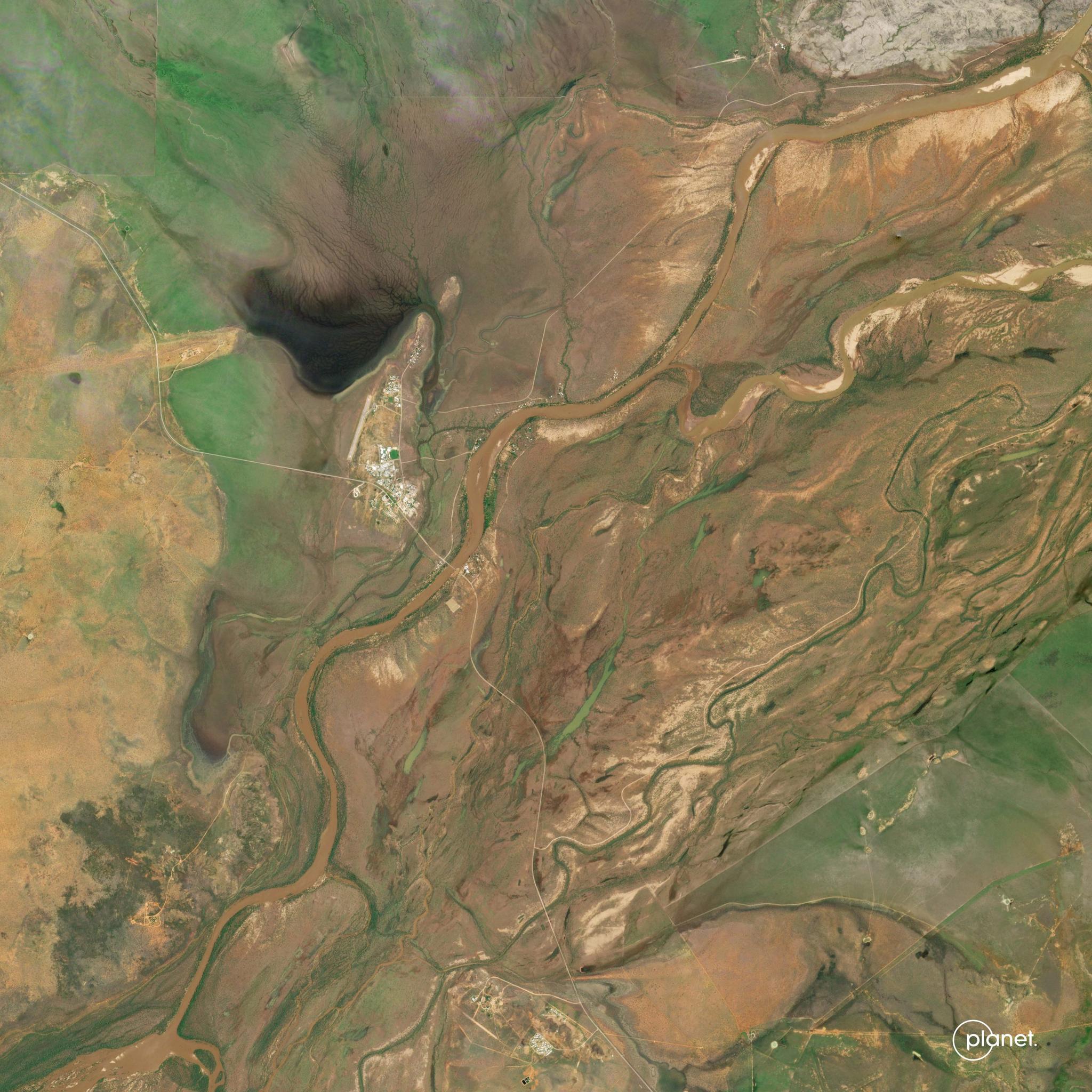
StoriesStoriesEstimating Volume Changes for Floodplain Harvesting in New South Wales, AustraliaShelby Siegel |March 3, 2022|3 min readRead more
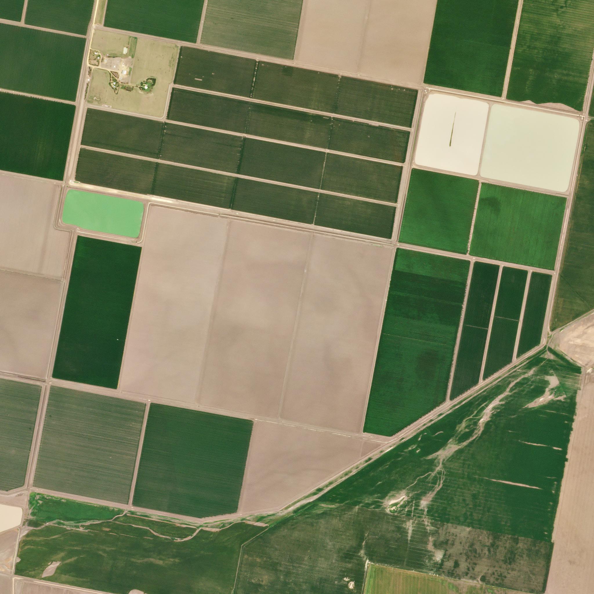
StoriesStoriesHow Pasture.io Uses Planet Satellite Imagery to Transform Pasture ManagementTasha Gillotti |September 5, 2023|4 min readRead more
NewsNewsPlanet Provides Open Source Mosaic of QueenslandShankar Sivaprakasam |July 5, 2018|2 min readRead more
NewsNewsPlanet and Geoplex Partner to Deliver the Latest Satellite Data to Queensland GovernmentBeau Jarvis |February 21, 2017|1 min readRead more
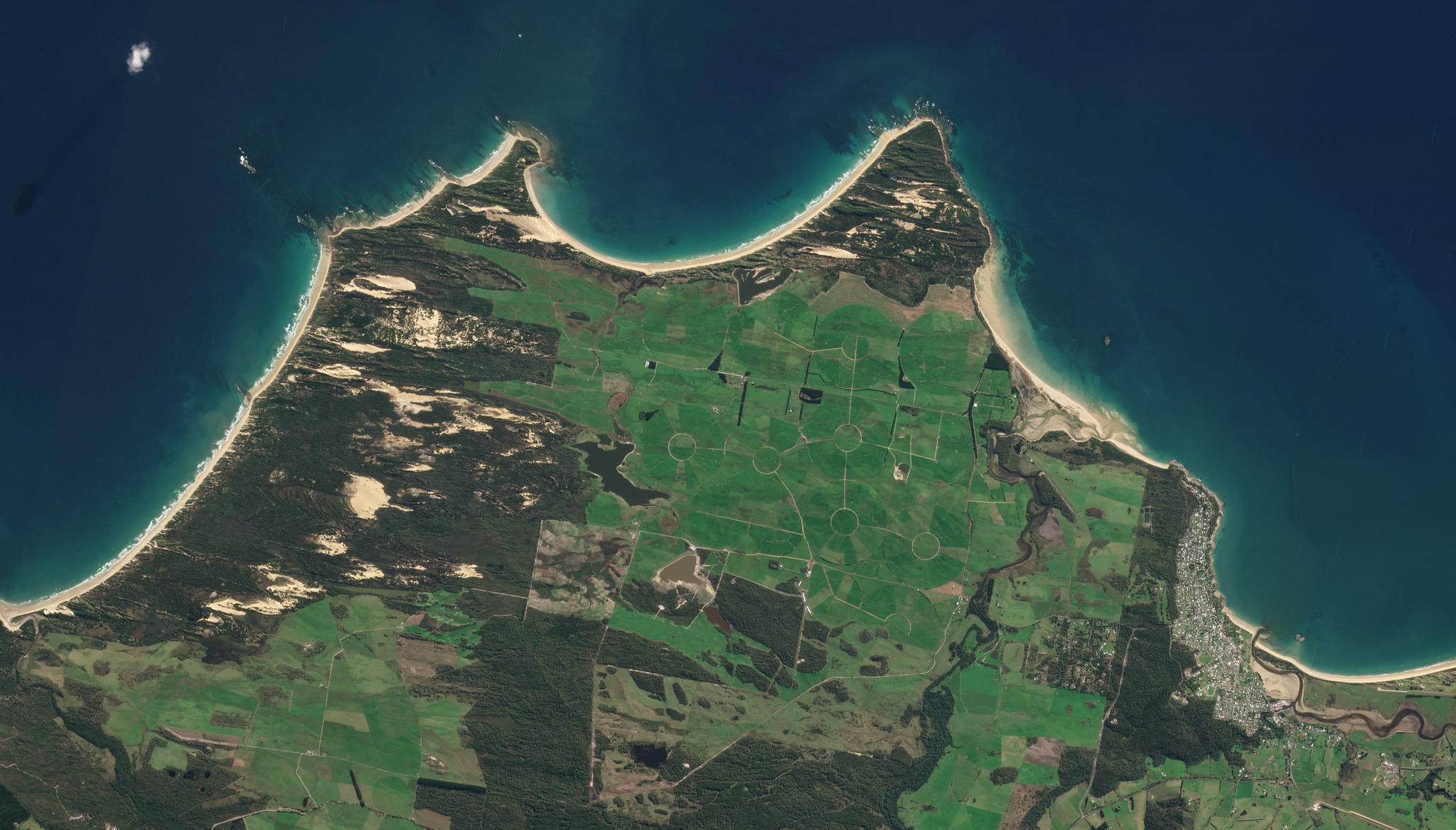
StoriesStoriesEnsuring Sustainable Urban Development and Protecting Biodiversity with the Government of New South WalesLauren Cottrell |June 20, 2024|4 min readRead more
StoriesStoriesPlanet and NGIS Enable Emergency Services Preparation Ahead of Australia’s Fire SeasonPlanet Labs PBC |November 9, 2023|5 min readRead more