StoriesStoriesIHME, Microsoft, and Planet Collaborate to Map Climate-Vulnerable Populations In Unprecedented DetailAndrew Zolli |February 28, 2024|5 min readRead more
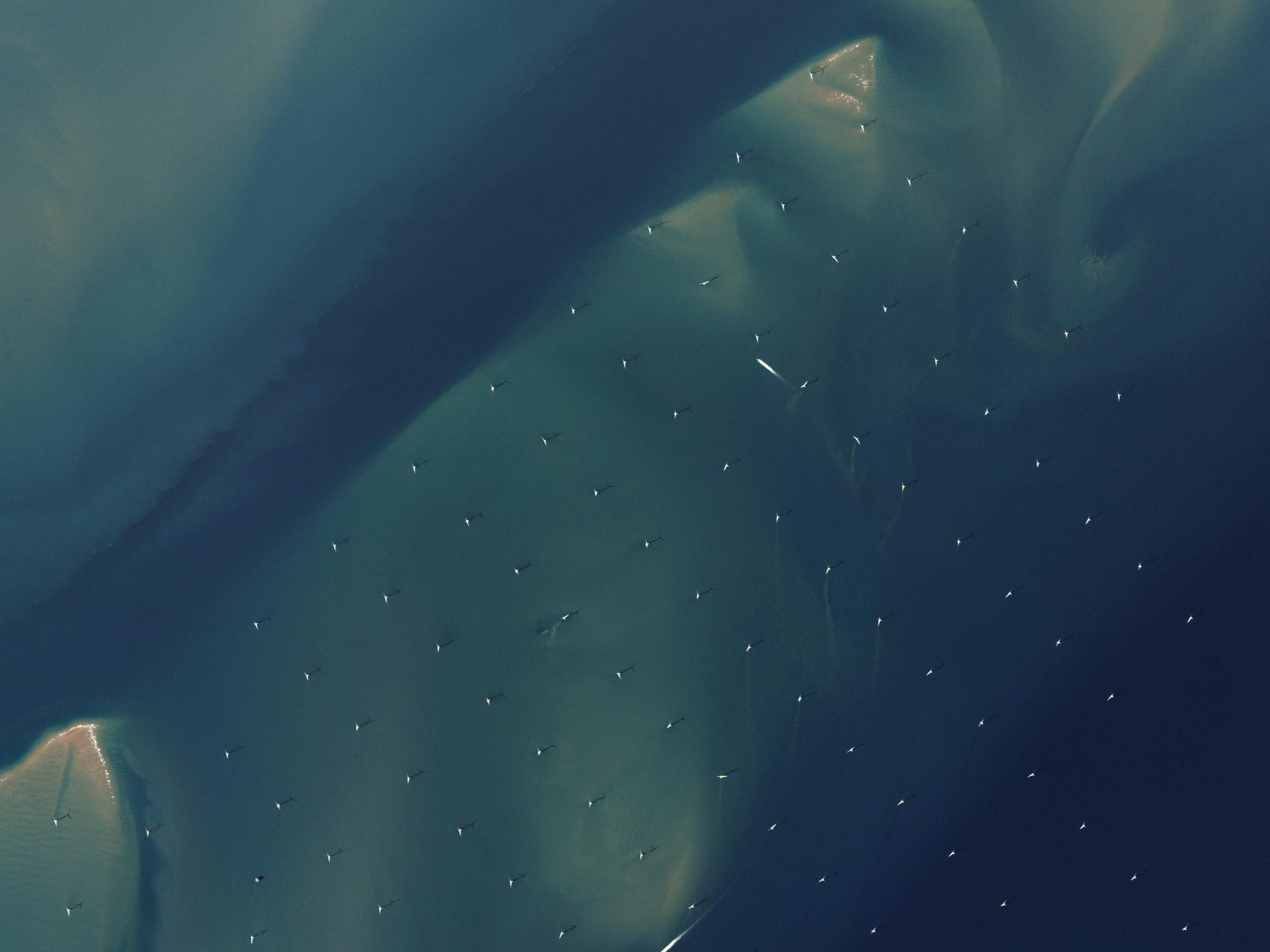
NewsNewsThis atlas wants to map every solar and wind source in your countryMegan Zaroda |September 22, 2022|4 min readRead more
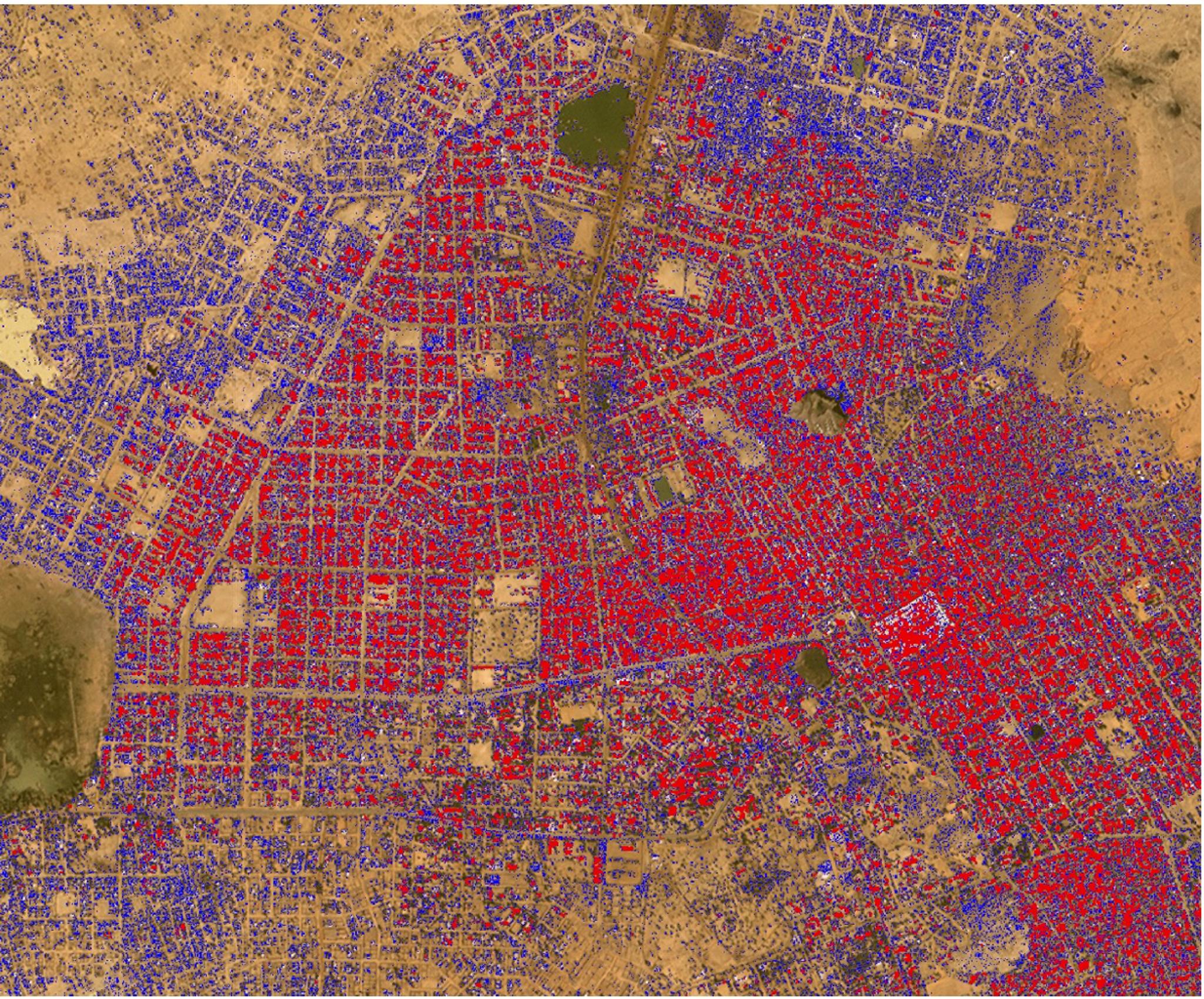
TechTechQueryable Earth: combining satellite imagery and next-gen AIKevin Weil |April 12, 2023|5 min readRead more