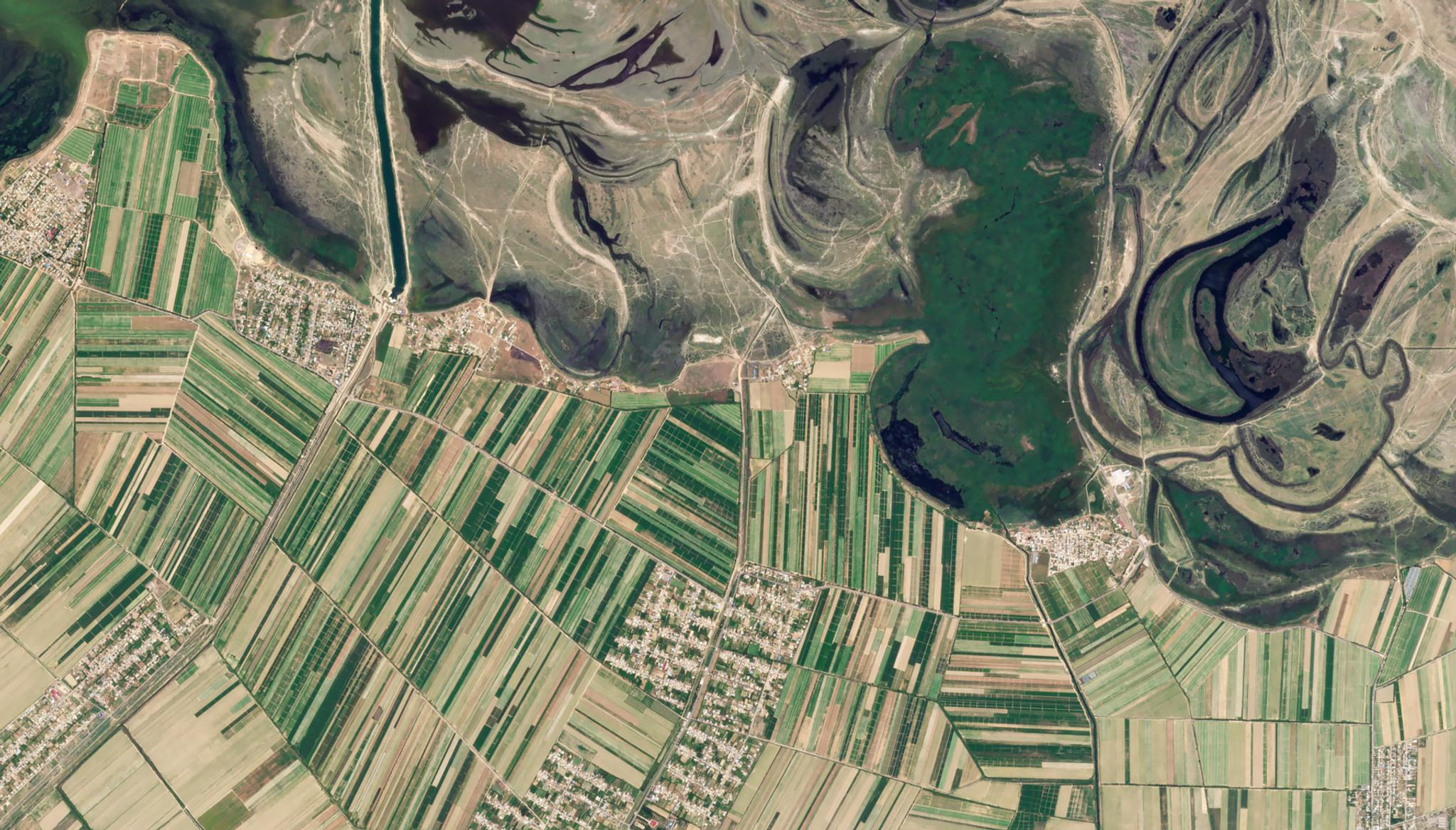
StoriesStoriesKazakhstan Leverages Planet Data for Agriculture, Resource Management, and Disaster ResponsePlanet Labs PBC |June 25, 2024|6 min readRead more
NewsNewsPlanet Announces Board Expansion with Addition of Kristen RobinsonPlanet Labs PBC |November 11, 2022|4 min readRead more
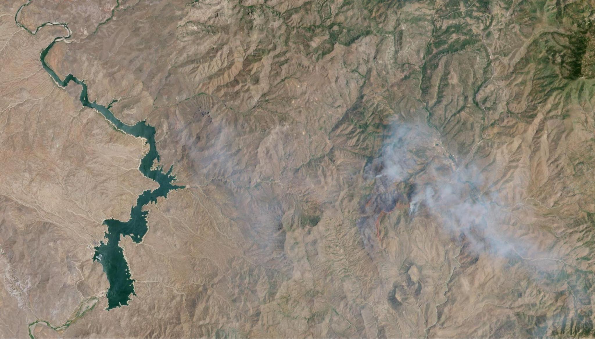
StoriesStoriesFlash Drought Hotspots: Southwestern United StatesRyder Kimball |August 8, 2023|6 min readRead more
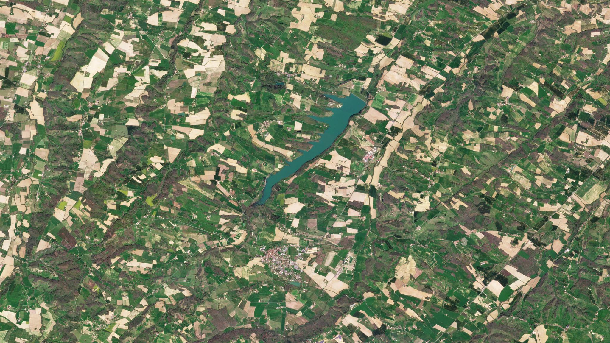
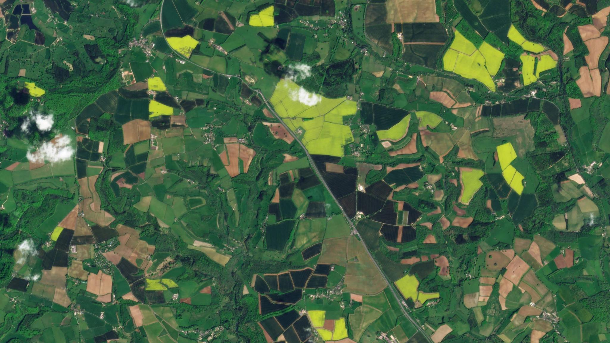
StoriesStoriesStart the Growing Season Off Strong with Satellite DataSteve Levay |March 30, 2021|3 min readRead more
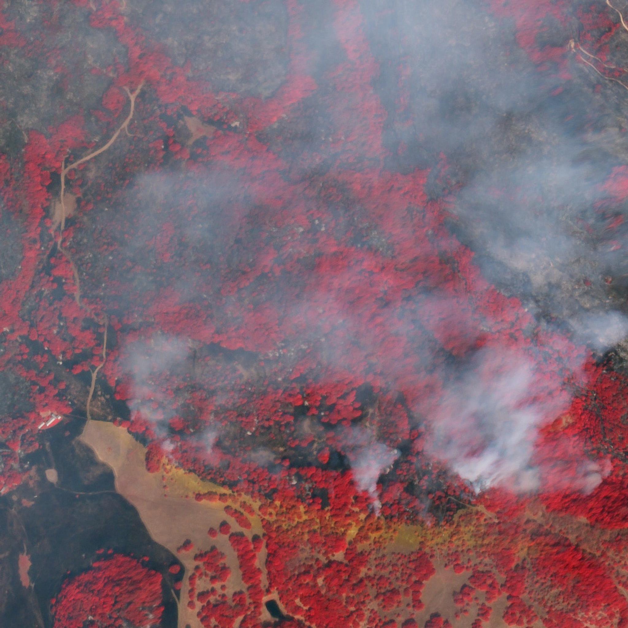
NewsNewsNorthern California Wildfire Satellite Data Available For AccessSarah Bates |October 10, 2017|2 min readRead more
NewsNewsIrma and Harvey Satellite Data Available for AccessBrittany Zajic |September 14, 2017|1 min readRead more
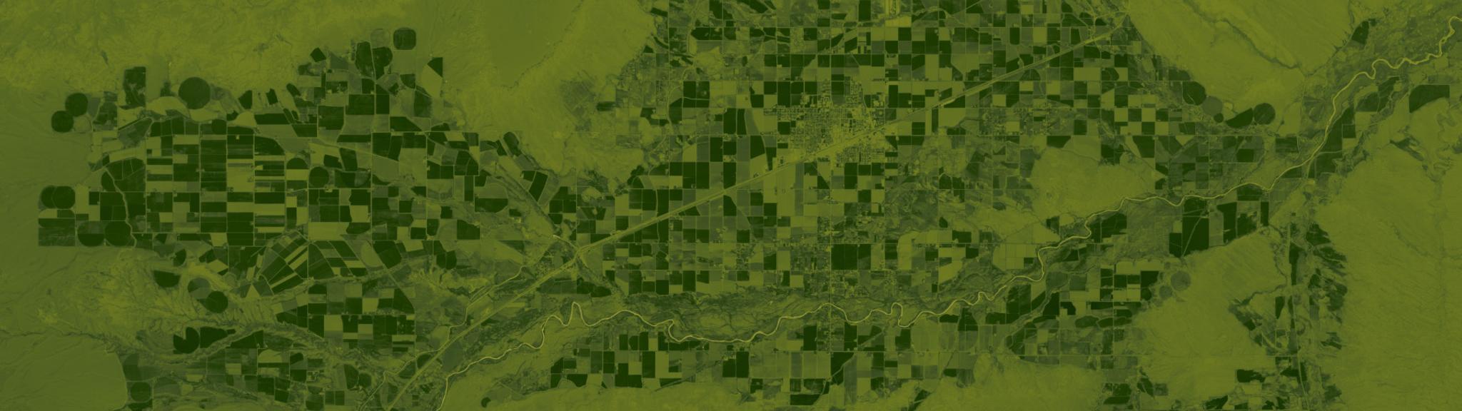
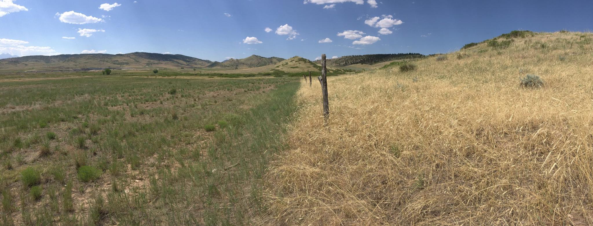
StoriesStoriesDetecting and Eradicating Invasive Grass Affecting Pasture and Ranch LandShelby Siegel |January 25, 2022|3 min readRead more
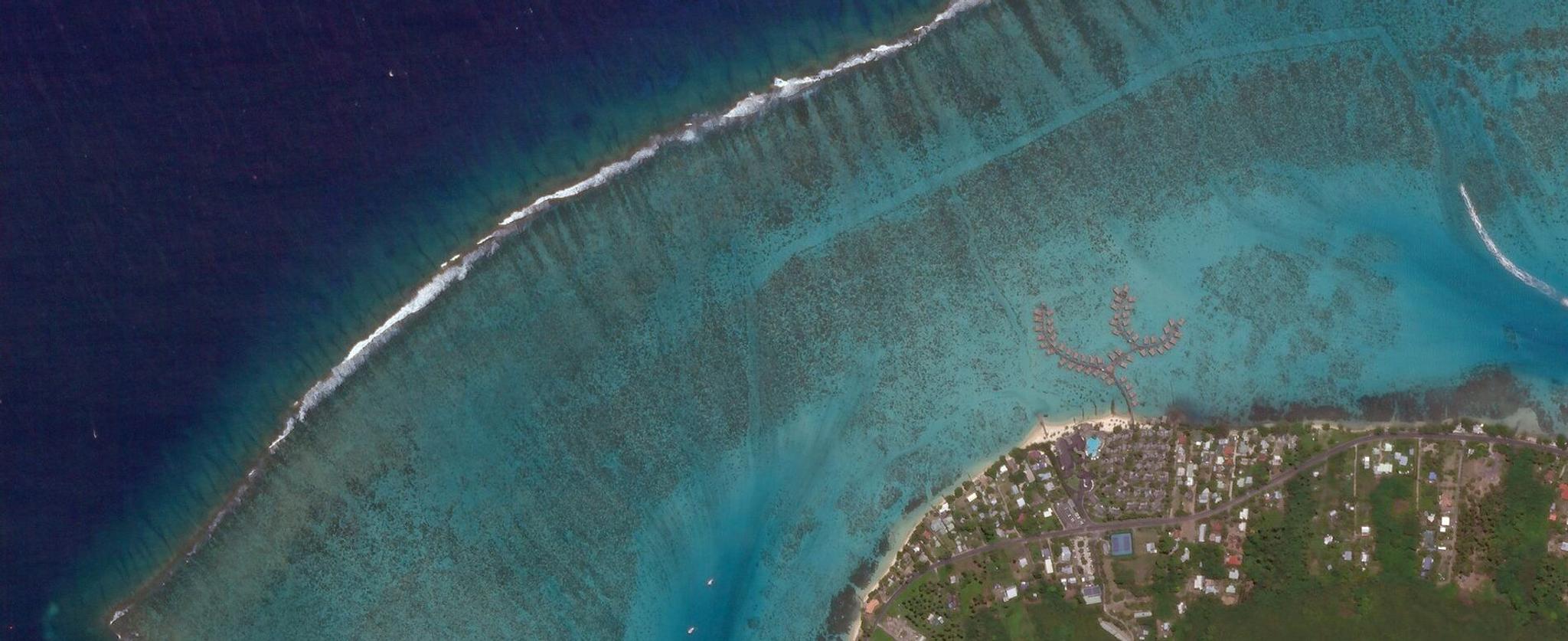
NewsNewsPlanet, Paul G. Allen Philanthropies, & Leading Scientists Team Up to Map & Monitor World’s Corals in Unprecedented DetailAndrew Zolli |June 4, 2018|3 min readRead more
StoriesStoriesPlanet Insights Platform Transforms Agricultural Data ManagementLauren Cottrell |April 9, 2024|4 min readRead more
TechTechFirst Light Images from Tanager-1 Hyperspectral SatellitePlanet Labs PBC |September 24, 2024|5 min readRead more
StoriesStoriesGetting to Ground-Truth in Asia: Part Three - Harnessing satellite data for infrastructure inventory and disaster responseMegan Zaroda |July 31, 2023|4 min readRead more