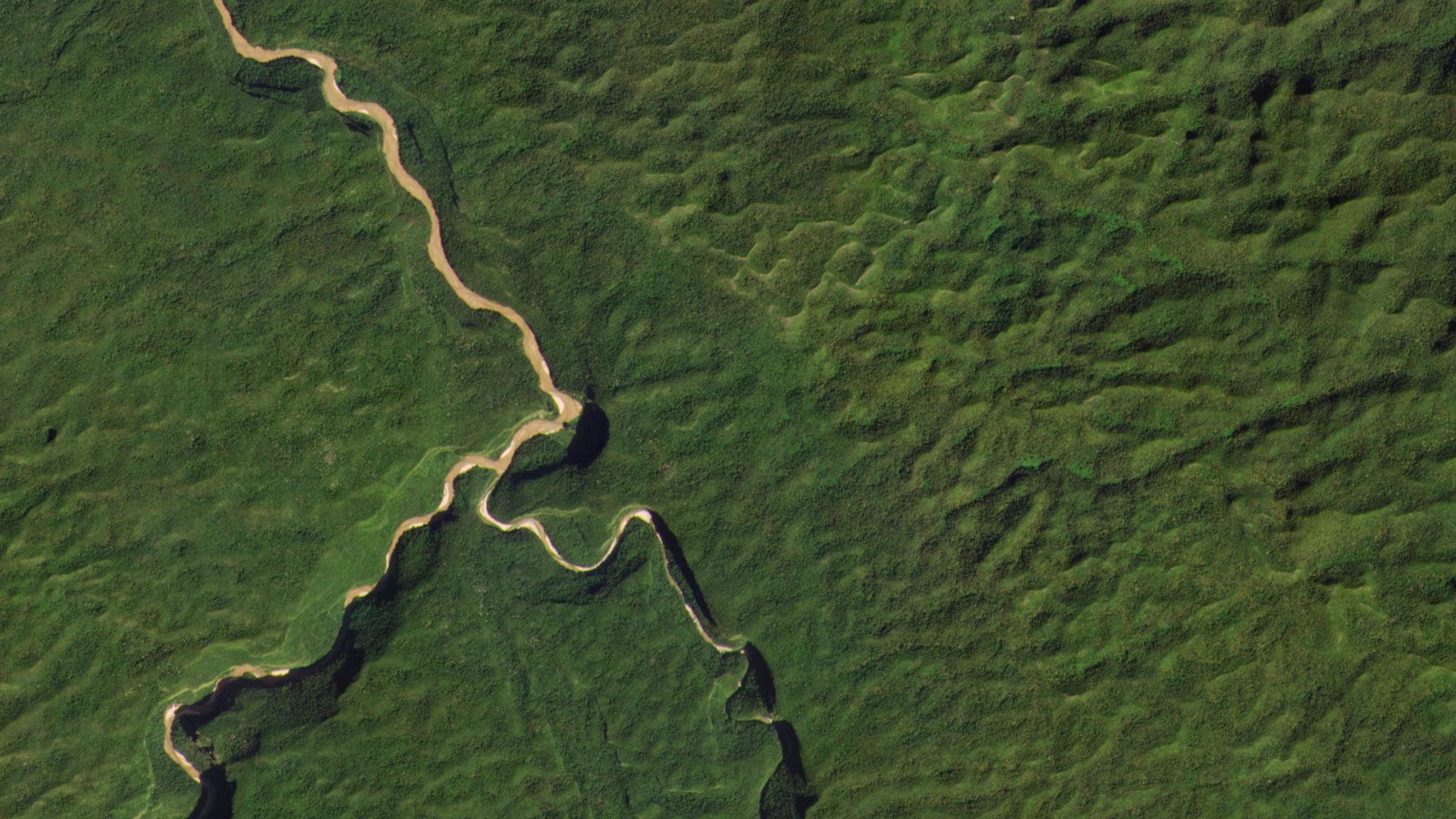
NewsNewsPlanet Satellites Bolster FAO's Geospatial ToolkitAndrew Zolli |September 23, 2019|5 min readRead more
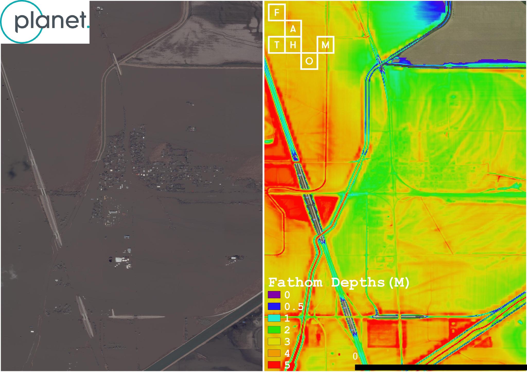
TechTechHow Fathom Leverages Frequent Satellite Imagery for Dynamic Flood MapsBrittany Zajic |May 22, 2019|4 min readRead more
StoriesStoriesPlanet Hosts 150+ International Governors, State Secretaries, & Researchers at Climate.EO EventTara O'Shea |September 13, 2018|2 min readRead more
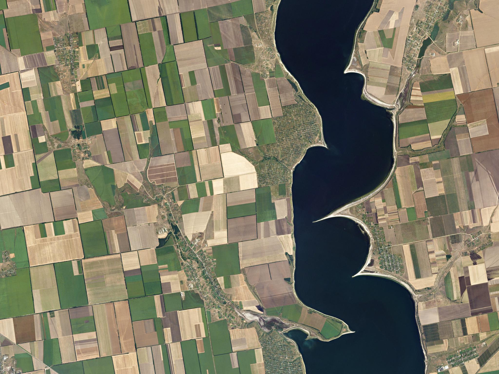
NewsNewsLeveraging Planet Satellite Imagery to Improve Irrigation IntelligenceShelby Parks |February 19, 2021|3 min readRead more
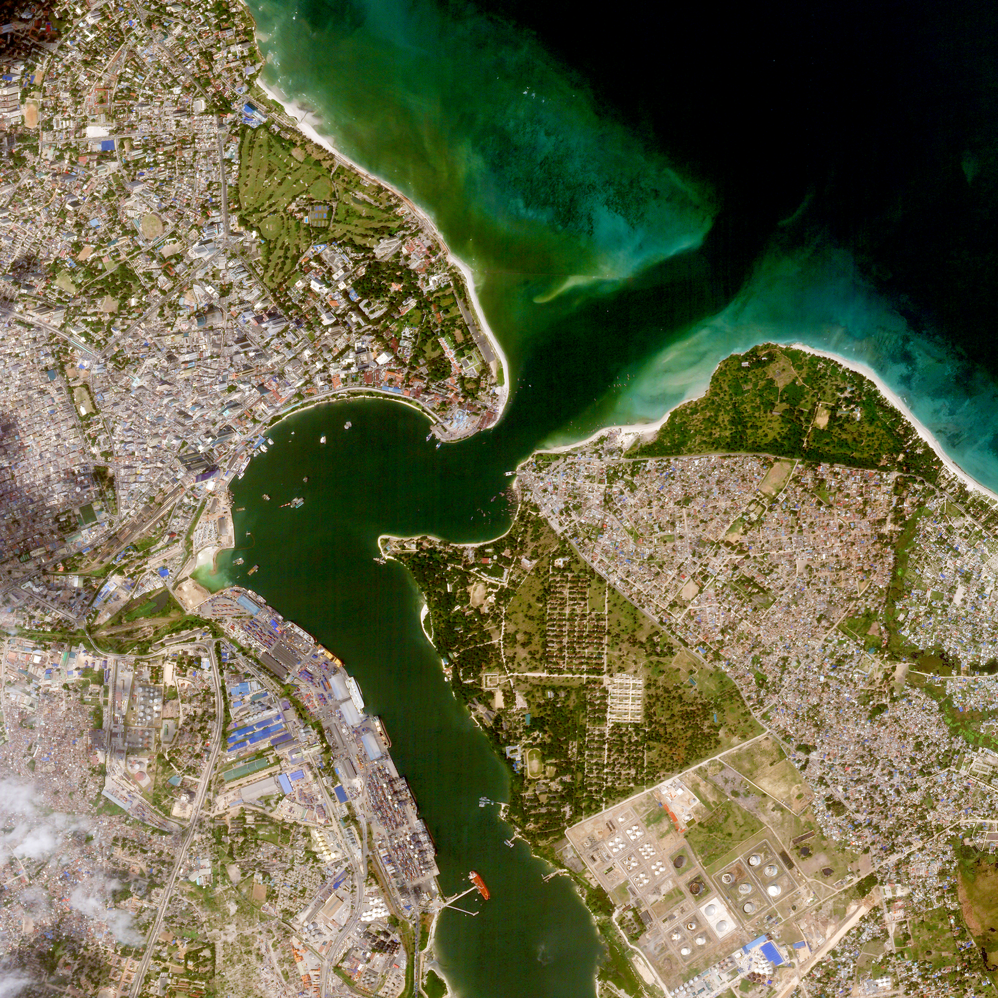
NewsNewsNew Project from World Bank & Planet Uses Satellite Imagery & Machine Learning to Drive Sustainable Urbanization in TanzaniaTara O'Shea |August 22, 2018|4 min readRead more