Taking Inspiration From Gandhi: Using Satellite Data for Good

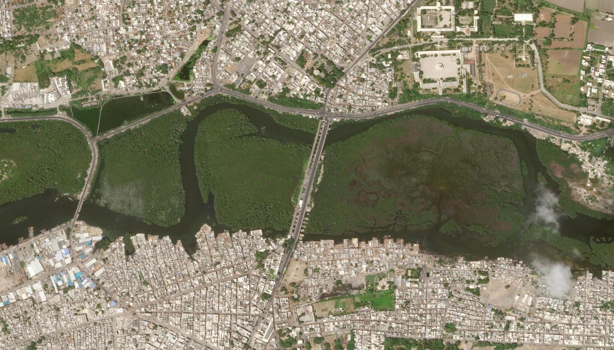
PlanetScope image of Jubilee Bridge, the gateway to Porbandar in India taken on September 2, 2023. Porbandar is the birthplace of Mahatma Gandhi. © 2023 Planet Labs PBC. All Rights Reserved.
StoriesEvery year on October 2nd, India celebrates Gandhi Jayanti, honoring the birth of Mahatma Gandhi, a global icon of nonviolent resistance. As one of India's three national holidays, this day marks his legacy in advancing peace and social equity. His influence transcends time, and the United Nations established the “International Day of Non-Violence” in his memory.
In recognition of Gandhi’s contributions to humanity, we explored how the Planet data can support his vision in modern times.
Inclusive Development in a Changing World
Gandhi strongly advocated for self-sufficiency and rural development in India. He led the Khadi movement, encouraging locals to produce and wear locally-made clothes. Rooted in the principles of empowering rural communities and fostering self-reliance, the movement gained national support.
At present, Khadi is still worn and celebrated across the country and recognized around the world as part of India’s rich cultural heritage. It is but one of the lasting legacies of Gandhi. He may have lived in a time before satellite imagery, but its advanced capabilities can make his vision of a sustainable and inclusive India a reality. As the world’s most populous nation facing the challenges of economic growth and the threat of climate change, its natural resources have been put under strain.
The ancient city of Bhubaneswar is experiencing rapid urbanization, but growth has brought with it land encroachment activities. This issue poses a serious threat to the preservation of biodiversity, undermines government revenue, and prevents sustainable planning. In response, the Odisha Space Application Centre (ORSAC) collaborated with Vassar Labs to leverage Planet data for the early detection and prevention of illegal government land use. The partnership gave birth to the Bhubaneswar Land Use Intelligence System (BLUIS). Since its launch, BLUIS has identified over 300 potential encroachments, significantly saving the government time and resources for land monitoring and management. By preventing illegal land use, the government successfully safeguarded environmentally sensitive areas, including forests, wetlands, and water bodies.
Agriculture, an industry that heavily relies on natural resources, especially water, also provides livelihoods to millions of India’s rural residents and generates significant export revenue. A key challenge is tackling crop stress, a common farming issue which directly impacts yield productivity. In response to this problem, Agribridge, an India-based agriculture company, developed a system to detect early signs of crop stress without human intervention. Access to this crop-level insight which uses Planet data helps local farmers take proactive measures to maximize harvest potential.
These two examples are just a glimpse into the countless ways in which Planet data has empowered and enhanced initiatives. When it comes to understanding Earth's dynamic landscape, our multidimensional insights can help address present-day challenges such as biodiversity conservation, land use mapping, and precision agriculture, while also supporting government programs and policies to further Gandhi’s legacy of promoting sustainable and inclusive development.
As we further explore how Planet can support your specific initiatives, we invite you to join the upcoming Planet Webinar Series: Gov Insights to gain more insights into these important topics.

Ready to Get Started
Connect with a member of our Sales team. We'll help you find the right products and pricing for your needs.

