
Planet Announces 50 cm SkySat Imagery, Tasking Dashboard and Up to 12x Revisit
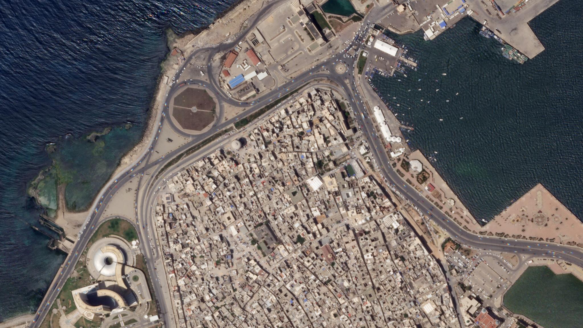
The Old City of Tripoli, Libya imaged at 50 centimeters per pixel from an altitude of 456 kilometers. © 2020, Planet Labs Inc. All Rights Reserved.
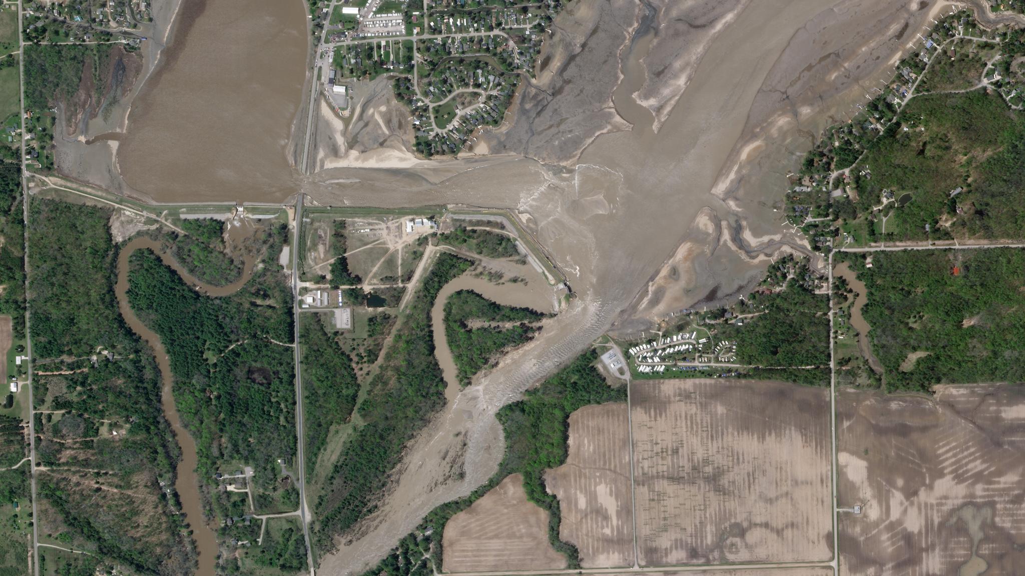
NewsOver the past year, Planet has seen increased demand for its SkySat imagery to fulfill customers’ needs for timely, accurate and frequent information across the decision cycle. The COVID-19 pandemic has intensified this trend, as traditional surveying and inspection methods are not currently possible. To meet the present moment, and demonstrate our commitment to rapidly deliver more value to customers every year, Planet is excited to unveil three new releases as part of our overall tasking offerings. Combined, these releases not only enhance the core imagery for analysis, but also reduce friction to acquire that data. Higher resolution 50 cm imagery: In just six months, we successfully lowered our SkySat constellation to enhance the spatial resolution of our SkySat imagery from 80 cm to 50 cm for our ortho product. This improvement enables customers to get a more precise view of changing conditions on the ground and adds more granular context to decision-making. This is particularly important for commercial and government mapping use cases, where seeing smaller features like road surface markings are key. [caption id="attachment_144963" align="aligncenter" width="2000"]
Ready to Get Started
Connect with a member of our Sales team. We'll help you find the right products and pricing for your needs.