The Atlantic braces for another busy hurricane season
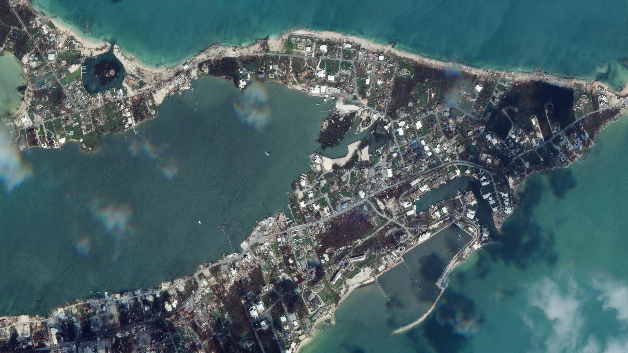
The Atlantic hurricane season is here and like year’s past, it’s projected to be difficult. Last year was the busiest season on record, with a record 30 named storms with 12 making landfall. The 2020 season was so busy in fact, that the U.S. National Hurricane Center used up its entire list of alphabetized storm names and had to tap into the Greek alphabet for more. Last week, the National Oceanic and Atmospheric Administration (NOAA)’s Climate Prediction Center released their annual report, predicting another above-normal Atlantic hurricane season, with a 60% chance the season will see above-average named storms and major hurricanes. The severity and quantity of storms is increasing year over year, and sea level rise and the loss of protective ecosystems is exacerbating the problem, making coastal communities particularly vulnerable to erosion and flooding from storm surges. Government officials are already preparing for the worst and warning their coastal communities. Before-and-after satellite imagery can be used to monitor and track the impacts of high-winds and storm surge, providing timely insights to emergency responders so they know exactly where recovery resources are needed most. [caption id="attachment_146609" align="aligncenter" width="5696"]


Ready to Get Started
Connect with a member of our Sales team. We'll help you find the right products and pricing for your needs


