
Integrating for Insights—The GeoSoLoMo Revolution
The phones in our pockets, drones in the air, satellites in space...what do they all have in common? They’re all distributed sensor networks—collecting streams of data about our daily lives, our businesses and our planet. We here at Planet have often said our satellite imagery, while insight-rich, will only reach its full potential when combined with other unique data streams and services. That’s why we’re excited to announce something that’s been a long time coming...the integration of Dove data into some of the consumer market’s most widely used remote sensing platforms...social media. Now GIS experts, governments, nonprofits, and the public can combine Planet’s satellite data with the data sets that power their lives: social data.
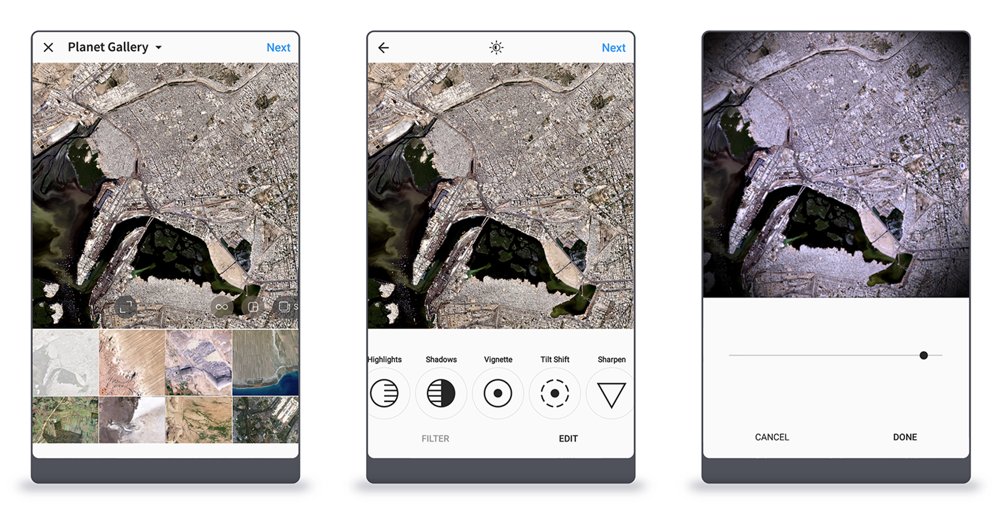
Instagram—Easy Plug-and-Play Image Processing
Instagram devotees can use our simple, REST API to pull imagery into your instagram feed and apply built-in color curves.
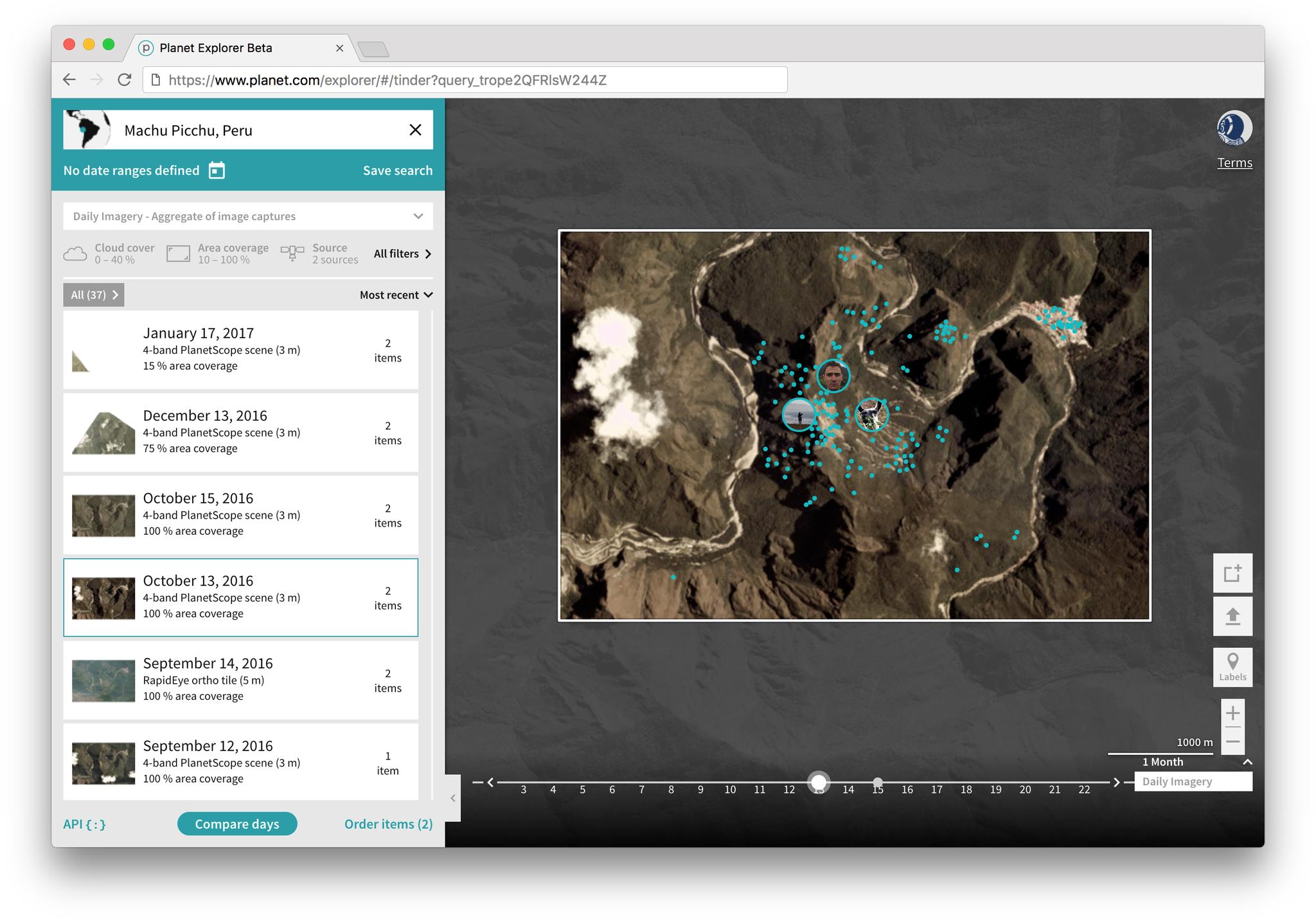
Tinder—"Date-a" Mapping for Singles
Geo-data can put the human relationships around us into sharper relief. In this demonstration, we’ve pulled dating profile data into Planet Explorer to create immersive, insight-driven data visualizations on the fly. Vacationing in Peru? See how many Tinder users are nearby during your day trip to Machu Picchu:
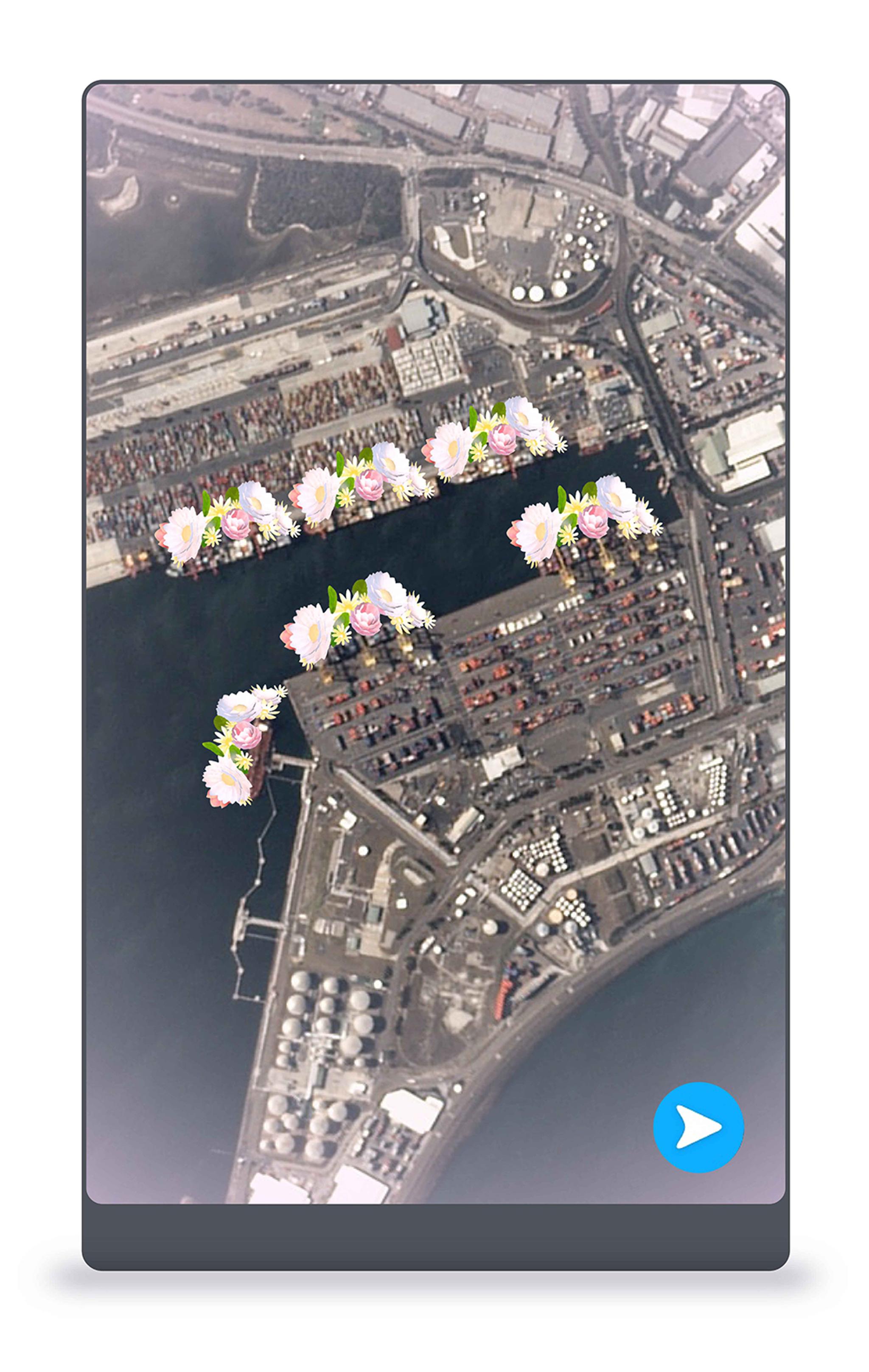
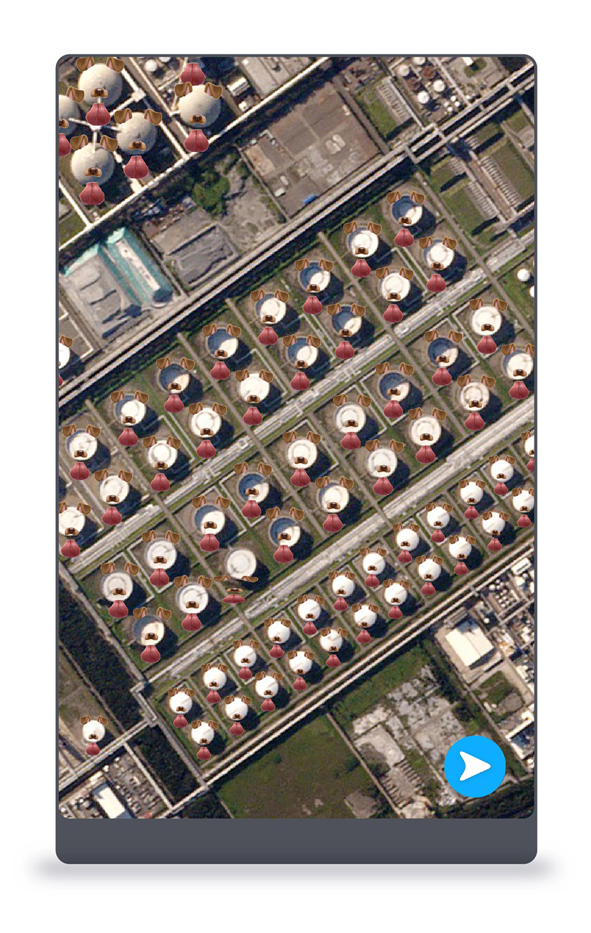
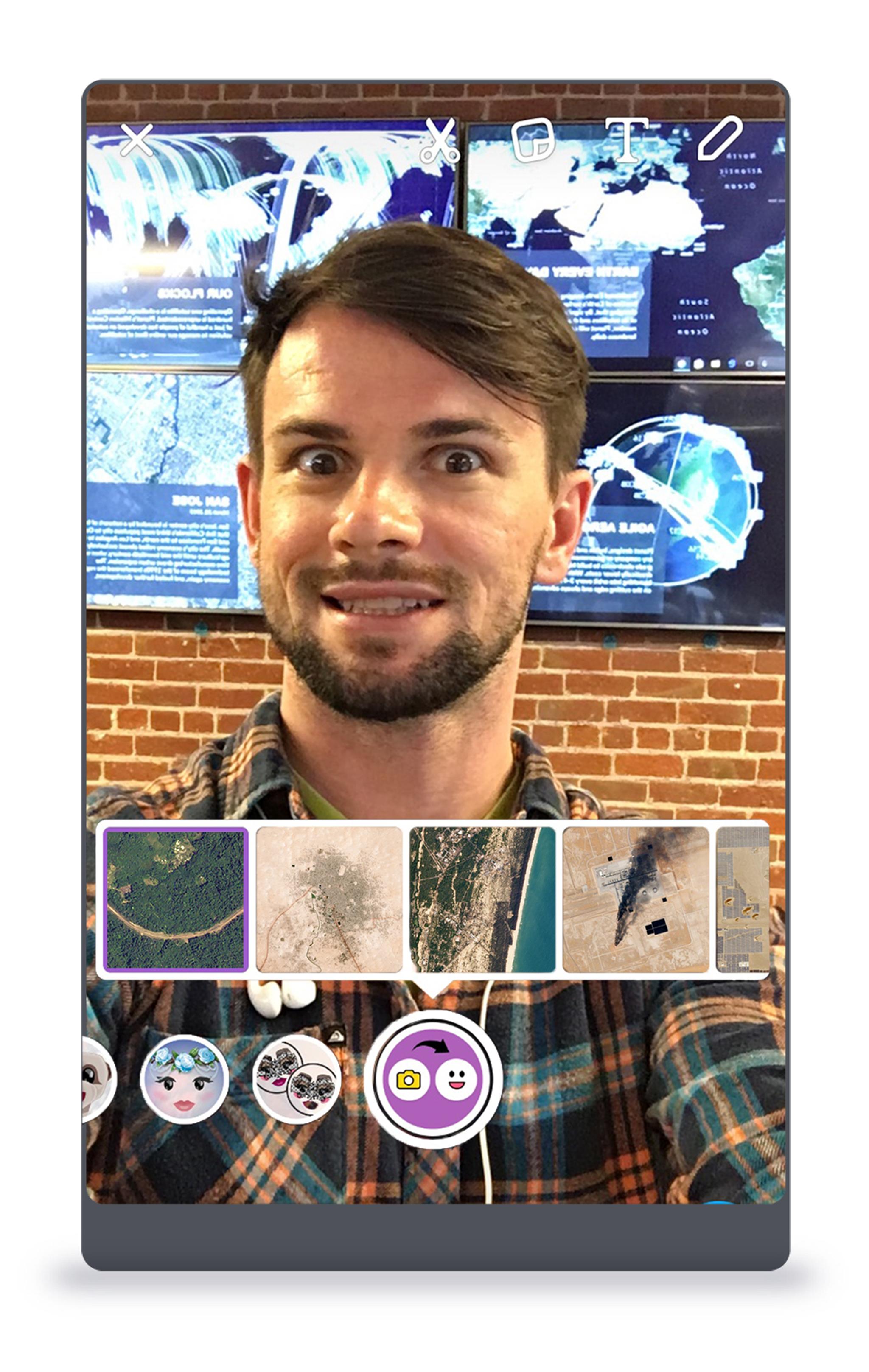
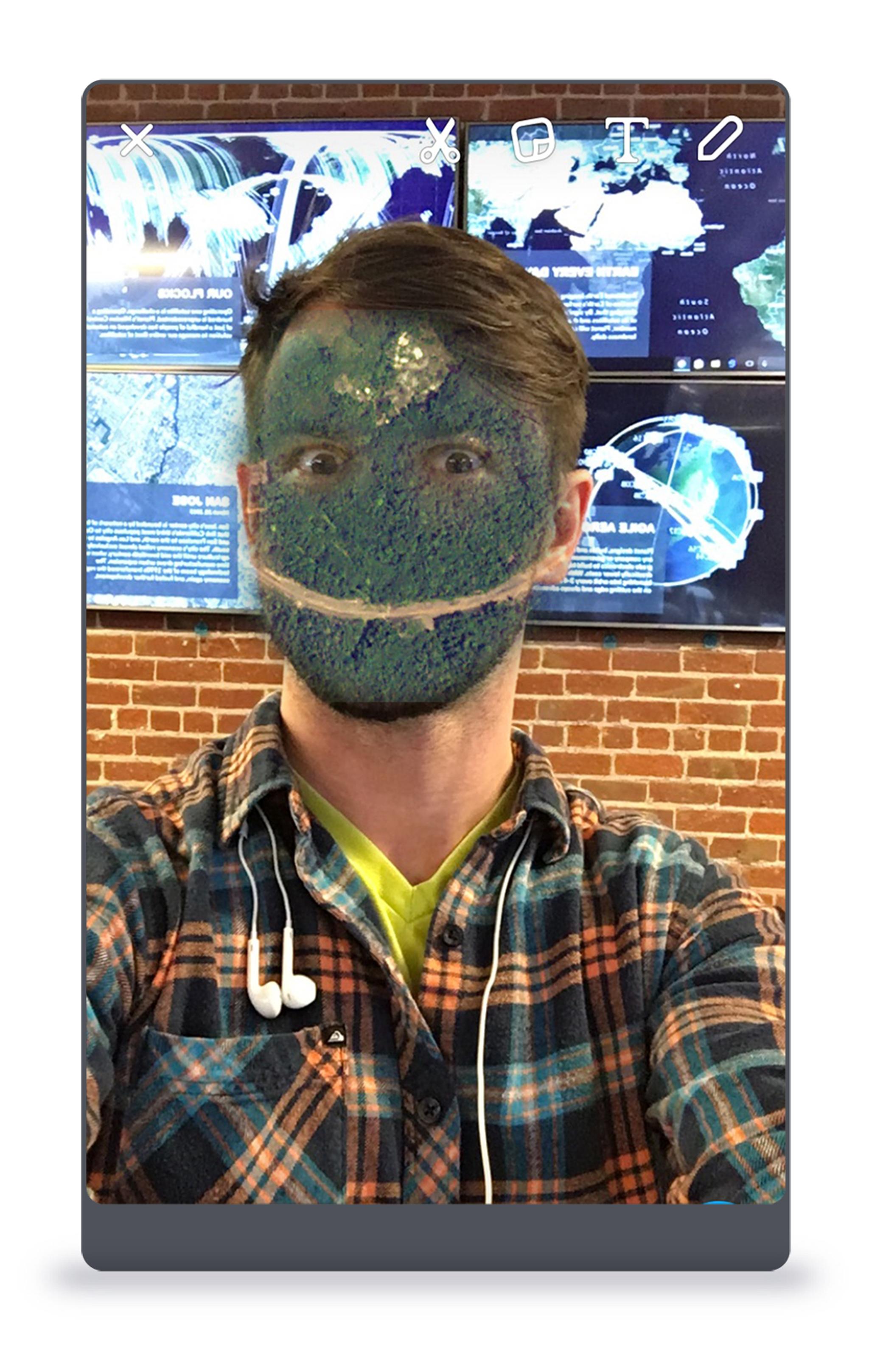
SnapChat—Fast and Easy Data Annotation & Transfer
Integration into Snapchat makes it easy to send geospatial data and analysis to colleagues and customers quickly and efficiently.
Make sure to screenshot these!Train machine learning algorithms with our nine-year imagery archive to count ships in ports or monitor oil output across the globe. Leverage Snapchat’s unmatched computer vision technology and familiar filters to label large imagery datasets.
Ready to Get Started
Connect with a member of our Sales team. We'll help you find the right products and pricing for your needs