
Using Satellite Data to Spot Early Signs of Unauthorized Government Land Use and Encroachment in India
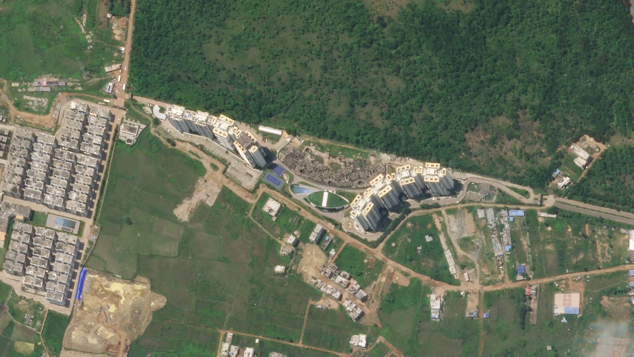
SkySat imagery of Tata Ariana Housing in Bhubaneswar, Odisha, India © 2020, Planet Labs Inc. All Rights Reserved.
StoriesBhubaneswar is one of the fastest-growing cities in India, witnessing land-use changes on a daily basis. As a developing city, encroachments pose a threat to the protection of environmentally sensitive areas (wetlands, water bodies, forests, and more) that are vital to the long-term preservation of biological diversity and other natural resources. Moreover, unauthorized land use creates a challenge for planned development, resulting in a loss of revenue for the city. Without the ability to dect and enforce adequate transparency and accountability, public land is prone to encroachment, engendering haphazard growth. With the accelerating pace of change in Bhubaneswar, the city and its state agency, the Odisha Space Application Centre (ORSAC), needed access to timely and precise information. High-resolution, efficient imagery wasn’t possible with traditional satellite tasking models, resulting in a lack of insight, inaction, and uninformed decision-making. To solve this problem of land-use change, ORSAC—an influential space technology and research institute for the state of Odisha in India—teamed up with Vassar Labs, a pioneer in IOT, machine learning and artificial intelligence-based solutions. The team developed a compelling AI-based solution on top of the Planet’s high-frequency, high-resolution SkySat imagery, called Bhubaneswar Land Use Intelligence System (BLUIS). On a monthly cadence, the new solution monitors unauthorized land-use changes and encroachments in Bhubaneswar. [caption id="attachment_147287" align="aligncenter" width="1012"]
Ready to Get Started
Connect with a member of our Sales team. We'll help you find the right products and pricing for your needs.