
Why Satellite Imagery Is Critical to Maritime Domain Awareness Solutions
From fishing to shipping to naval movements, maritime activity plays a considerable role in national security — and unauthorized or unrecognized activities contribute to geopolitical tension and uncertainty.
Consequently, the discipline of Maritime Domain Awareness (MDA) has become increasingly relevant in today’s geopolitical landscape. MDA is the effort to observe and understand maritime activities that affect security, safety, economics, and the environment. And because Earth’s waterways are enormous, tracking activity across these incredible expanses presents a never-ending challenge.
Defense and intelligence (D&I) organizations conducting MDA find themselves in a technological arms race against bad actors. Staying a step ahead of nefarious and hostile vessels requires a suite of observation and detection technologies, including Earth observation (EO) data, Automatic Identification System (AIS) signals, and Radio Frequency (RF) Derived Vessel Detection.
Learn how bad actors evade tracking systems and why broad area management with Planet can help intelligence agencies monitor and understand maritime activity, at scale.
The Growing Challenge of Identifying and Tracking Dark Vessels
Government agencies gather naval intelligence on a range of activities, including:
- Illegal, unreported, and unregulated (IUU) fishing
- Military and strategic infrastructure monitoring
- Illicit ship-to-ship transfers
- Foreign military movements and operations
If vessels used their AIS transponders as intended, global maritime monitoring would be simple. Unfortunately, vessels engaged in illicit activities increasingly interfere with their AIS signals. Some ships go “dark," turning off their transponders so they aren’t broadcasting their coordinates. Others use readily available technology to spoof AIS signals, transmitting false information to deceive public maritime surveillance systems.
While there are legal reasons to temporarily turn off an AIS transponder, such as ships in the Red Sea reportedly going dark to avoid Houthi attacks, dark vessels (also called shadow vessels) more often conceal their movements to hide illicit activities. The problem of dark vessels ranges from small illegal fishing operations to entire shadow fleets operating off-grid.
RF tracking can help track dark ships that have deactivated their AIS, but this technology also has limitations. Dense urban coastlines, mountainous terrain, or electromagnetic interference can obstruct the radar, communications, and navigation signals upon which RF tracking relies. It can also be hard to pick apart overlapping RF signals from multiple vessels.
When AIS and RF data don’t provide the whole story, EO data and commercial satellite imagery become critical tools for effective MDA.
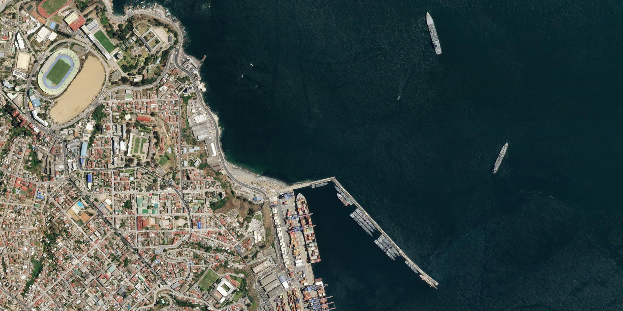
The Role of Satellite Imagery in Enhancing Maritime Domain Awareness
Imagery Derived Vessel Detection (IDVD) using high-frequency satellite imagery is a highly-effective way to detect and track vessels for many maritime and D&I applications. Other visual-spectrum monitoring techniques simply cannot match IDVD for coverage or reliability in vast or remote maritime areas.
Methods like aerial photography or photogrammetry, drones, and very high-resolution (VHR) imagery also provide visual information. Still, across wide regions, the data from these sources tend to be incomplete, outdated, costly to acquire, or all of the above. That’s because they all suffer from low observation frequency, distance and airspace restrictions, and area of interest (AOI) limitations.
Planet satellites provide high-frequency images with global coverage, delivering a more complete picture than other visual surveillance techniques.
Applying Planet’s Broad Area Management Approach to MDA
Broad area management is the practice of leveraging EO data to monitor, measure, and report changes across vast geographic areas.
Planet’s approach to broad area management brings together daily monitoring, hi-resolution imagery, analysis-ready data, and analytics to help D&I organizations detect maritime activity, validate threats, and respond swiftly.
Global coverage, high frequency, and automated alerts
The sheer scale of a vast maritime AOI poses the biggest challenge for organizations responsible for MDA.
PlanetScope® Monitoring provides a near-daily scan of the Earth, giving defense analysts a broad and continuous view of change.
When this data is combined with Planet Analytic Feeds, automated vessel detection is possible at scale — essentially telling analysts where to look and helping them operate more efficiently. Then, high-resolution Planet Tasking can be used to get a more detailed view of a specific area, gather intelligence, and improve situational awareness.
And when all of these capabilities are used with the Planet Archive, which includes proprietary datasets back to 2009 and public datasets back to 1972, analysts can look back and establish baselines to identify historical trends.
Together, these capabilities allow intelligence analysts to look broader, back, closer, and deeper to gather actionable insights.
Case Study: Revealing Illicit Weapons Trading With Planet Images
MDA organizations are already using Planet’s broad area management capabilities to track suspicious activity at sea.
As Russia’s war on Ukraine escalated, the Royal United Services Institute (RUSI) and the Advanced Defense Studies (C4ADS) examined Planet imagery to study the movement of vessels at sea between North Korea and Russia.
Their research confirmed large-scale illegal imports of refined petroleum products to North Korea. And in an ongoing analysis of Planet data, they have identified likely shipments of munitions from North Korea to a Russian military facility near the Ukrainian border.
While these vessels were not transmitting AIS signals, RUSI managed to track them thanks to high-frequency Planet imagery. Satellite images showed the vessels continuously loading and delivering cargo from one port to another. This visual evidence can help authorities document and mitigate illicit activity.
Augment MDA With Planet Broad Area Management
With over 70% of the Earth's surface covered by water, monitoring its waterways is a monumental task. It’s no wonder public and private organizations responsible for Maritime Domain Awareness often struggle to maintain comprehensive awareness of activity across their AOIs. The challenge is only getting more complex as international tensions and sea levels rise.
Broad area management with Planet allows agencies to identify and monitor vessel activity at scale by understanding change across vast areas and taking a closer look at irregular activity.
Interested in learning more? Check out our e-book, Combating Illicit Activity in the Maritime Domain with Planet Data, which breaks down different case studies, use cases, and scenarios. Or contact our sales team to discuss how Planet imagery, data, and analytics can help you minimize risk across the maritime domain.
The video player cannot be loaded.
Ready to Get Started
Connect with a member of our Sales team. We'll help you find the right products and pricing for your needs