
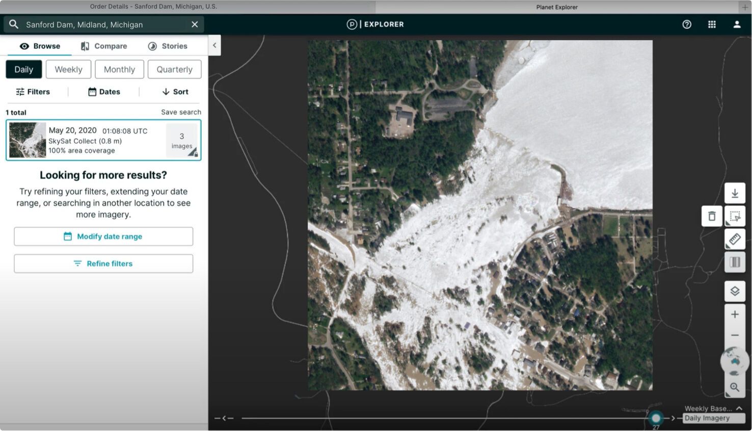
High-Resolution Imagery with Planet Satellite Tasking
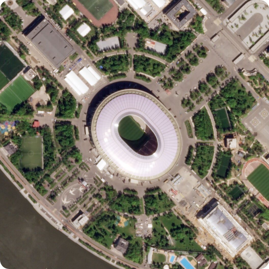
At 50 cm resolution, Planet Tasking provides organizations with near-real-time intelligence to proactively identify blind spots, anticipate events, and have confidence in the next mission-critical decision.
Rapid revisit, Global Intelligence
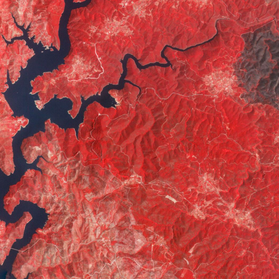
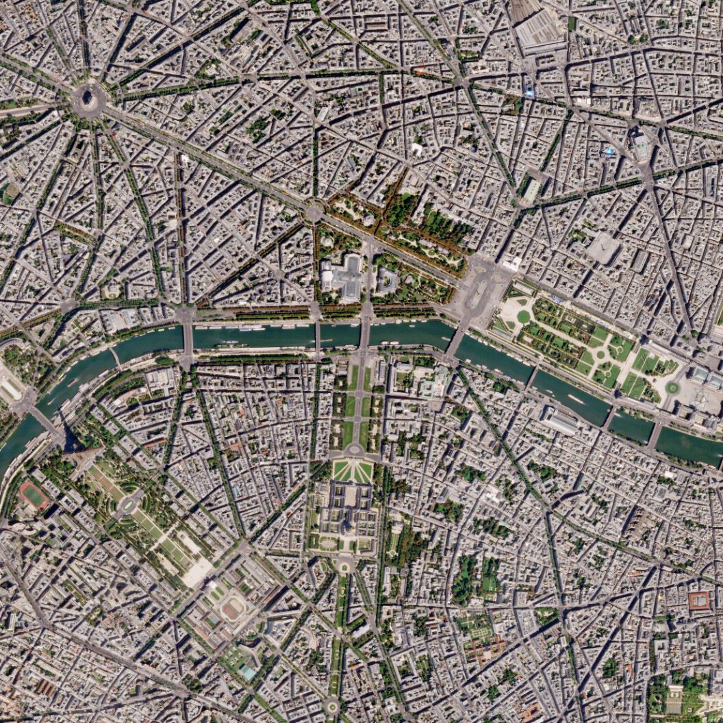
Reliable, High-Resolution Data from Around the World
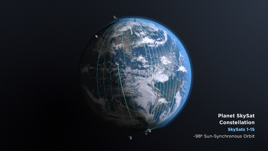
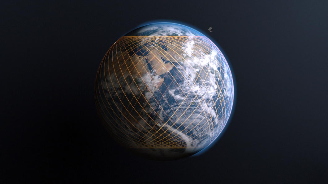
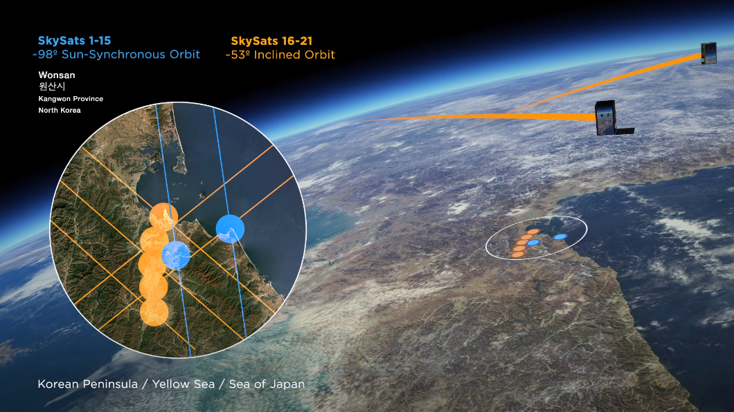
With ~15 SkySats in orbit, Planet offers the most frequent, intraday revisit capability of any commercial provider, capturing actionable insights sub-daily for for real-time decision making.
Rapid Revisit
Multiple revisits per day, the highest frequency commercially available
High-Resolution
Enhanced 50 cm ortho spatial resolution images
Tip and Cue
Leverage Planet Monitoring and Tasking constellations for a simple Tip and Cue workflow
Global Coverage
An average of 2,400 archival images of every spot on Earth’s landmass
Rapid Delivery
High-resolution images and insights delivered less than three hours from capture
Workflow Integration
Access data and imagery within existing workflows with Planet’s API
With Planet’s automated Tasking Dashboard, you can request high-frequency satellite imagery and data, stereo collection for 3D models and DEM construction, off-nadir imagery, and videos of any location in the world.
How to task a satellite
Powerful, Flexible Access to High-Resolution Imagery
Tasking a satellite is now more flexible than ever. Whether you need a quick, one-time image or a scalable solution for ongoing projects, Planet makes satellite tasking simple.
Use our Single Order Tasking portal for ease of access and pay-as-you-go flexibility, or unlock the full capabilities of the Tasking Dashboard for an efficient, integrated workflow with tasking credits.
Single Order Tasking
Access satellite imagery quickly and pay-as-you-go in the Single Order Tasking portal powered by our partners at SkyFi. Gain quick access to order individual tasks for ad-hoc projects through our 100% digital experience. Sign in, order your imagery, and have the capture delivered, all online.
Get Started Now

Tasking Dashboard
Access the Data You Need When You Need It
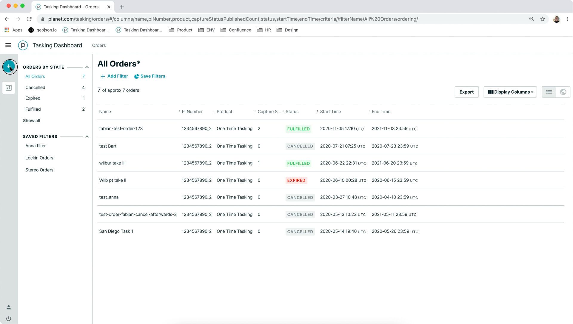
The Tasking Dashboard uses tasking credits, making it an ideal solution for organizations requiring scalability and flexibility for ongoing projects.
This easy-to-use interface is accessible anywhere, and allows you to submit, modify, and cancel satellite imagery requests online. The process is automated, and provides near-real-time updates from order to fulfillment. Assets are delivered to you directly through Planet’s powerful, cloud-based infrastructure.
STEP 1
Name Order
Enter the name of your order
STEP 2
Define the Product
Select whether to schedule a single or reoccurring order
STEP 3
Define Tasking Parameters
Change the default setting to suit your requirements
STEP 4
Insert GeoJSON
Copy and paste the location’s GeoJSON
STEP 5
Review and Confirm
Review order summary and confirm order
To learn more about Tasking, visit Planet University.
How It Can Help
With the Highest Revisit Commercially Available, Planet Tasking Delivers High-Precision Insights and a Global Perspective
Planet Tasking is built for flexibility and frequency. Using the world’s most agile constellation of high-resolution Earth imaging satellites, Planet is empowering organizations with geospatial insights and images multiple times a day.
High Accuracy
Images provide extremely detailed information in high-resolution
More Timely
High intraday revisit enables real-time intelligence to changes as they evolve
Easily Accessible
Cloud-based dashboard makes tasking simple and possible anywhere
Comprehensive Library
Access to Planet’s constantly updated archive of approximately 50 PB of Earth data
With ~15 high-resolution satellites in orbit, Planet Tasking has the highest intraday revisit capability of any commercial provider globally, capturing satellite imagery and insights sub-daily in areas that are traditionally challenging for imaging due to low satellite capacity.
High-frequency satellite imagery provides reliable, real-time information to avoid blind spots, anticipate events, and empower rapid, informed action. Planet data makes global change visible and accessible. Planet Tasking’s automated, cloud-based system ensures that your response is always timely.
How It’s Used
How Organizations Inform Decisions with Planet Tasking
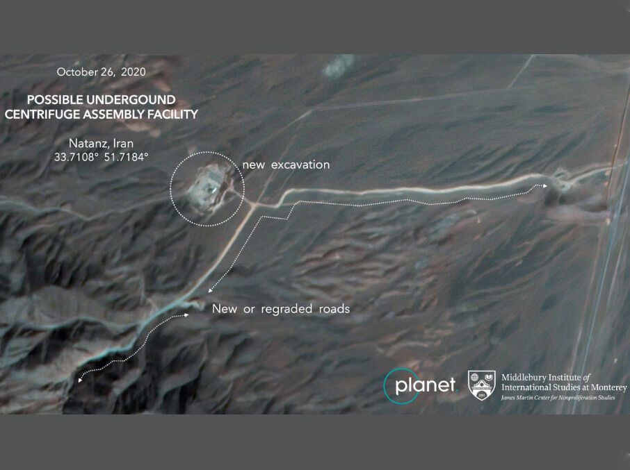
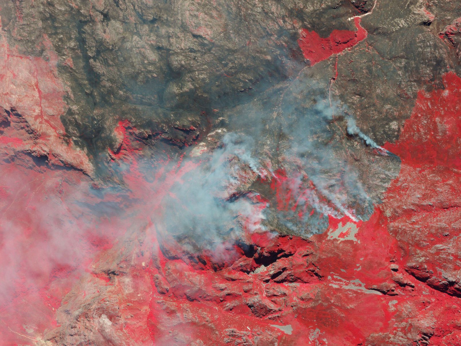
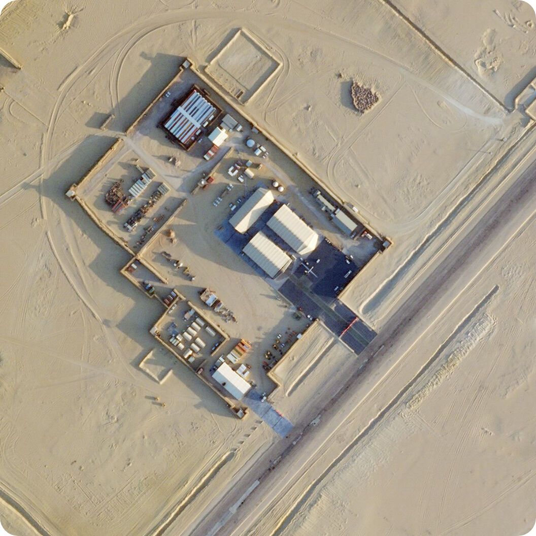
Defense and Intelligence
Reliable, up-to-date satellite imagery from Planet Tasking provides fast and accessible insights into geopolitical and security events as they unfold.
- Task collections of 50 centimeter ortho imagery sub-daily
- Reduce risk and receive quick insights with tip and cue capabilities
- Capture unexpected events across remote locations, borders, and coastlines
- Extract insights with near-infrared, stereo, and video capabilities
- Validate actions with rapid revisit tasking
The Middlebury Institute of International Studies at Monterey used Planet satellite imagery to uncover covert nuclear facilities in Iran.
Learn More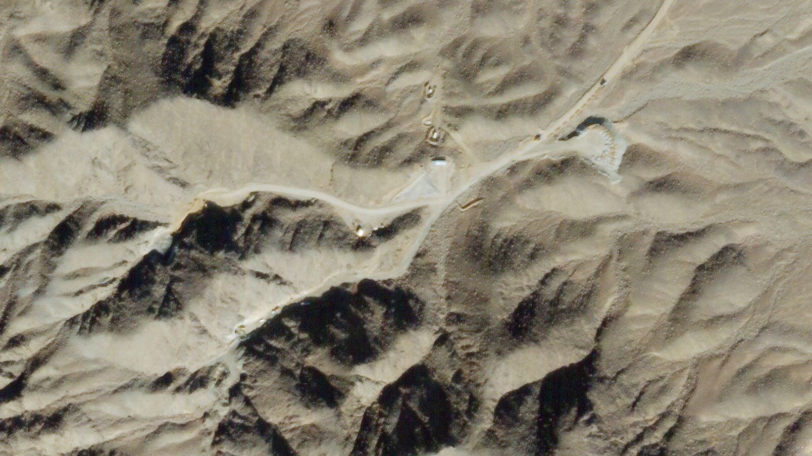

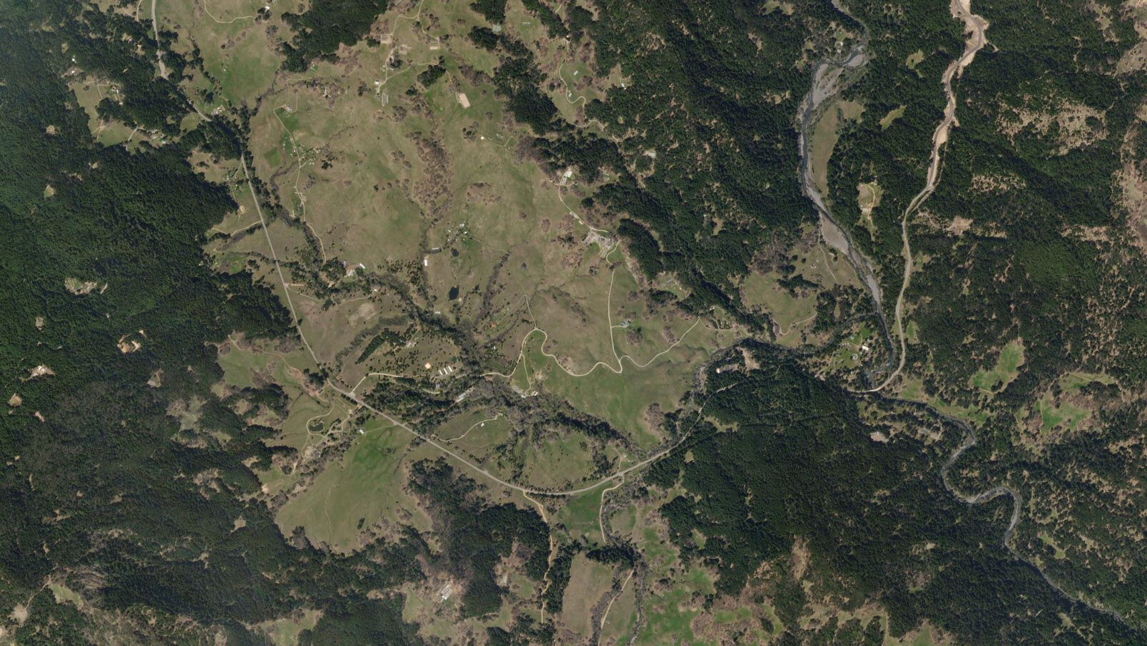

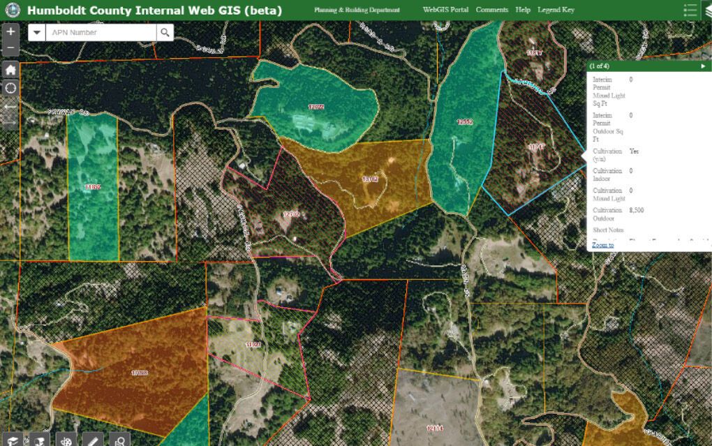
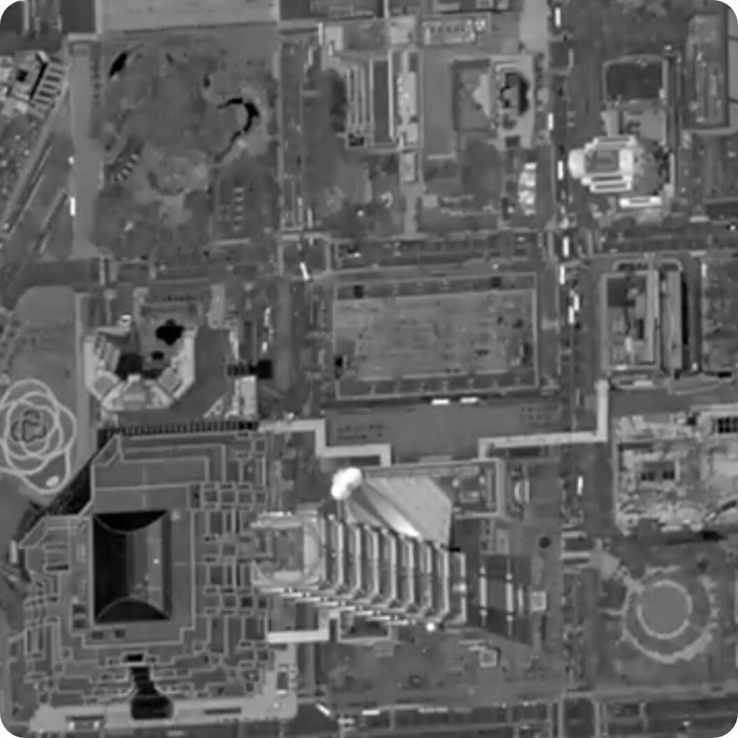
Civil Government
Protect public lands, measure policy impacts, focus on specific areas of interest, and enable rapid decision making.
- Manage and monitor infrastructure projects broadly
- Improve protection of natural resources and people
- Analyze areas of interest and derive timely insights
- Update maps and charts with the most recent data
- Monitor and detect changes to land use
Humboldt County, California, uses Planet to proactively identify and monitor cannabis cultivation.
Learn MoreForestry and Land Use
Monitor and manage forest assets and operations, track changes in land use and land cover, and localize forest clearing in near-real time with high-cadence, high-resolution imagery.
- Optimize your timber harvest operations
- Monitor and manage forest health
- Track changes to land cover and land use over time
- Prevent illegal and unpermitted clearing of forest
Brazil’s Federal Police uses Planet imagery to monitor the Amazon Rainforest for illegal mining and deforestation, drug trafficking, and unauthorized fires.
Learn More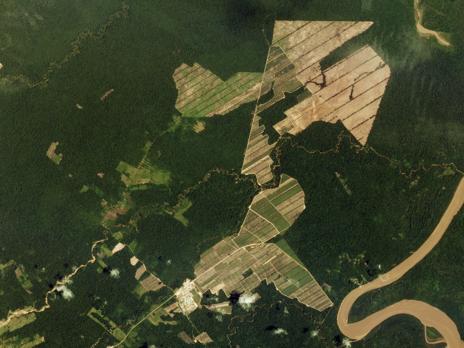
January 1, 2017
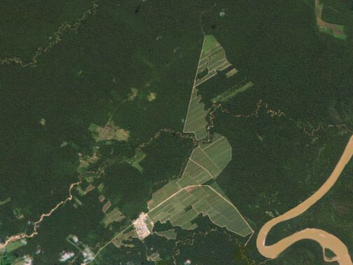
June 16, 2016
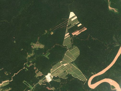
August 25, 2016
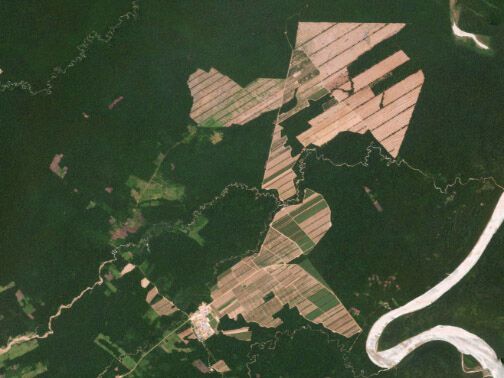
December 16, 2016
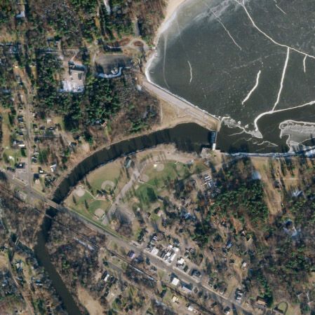
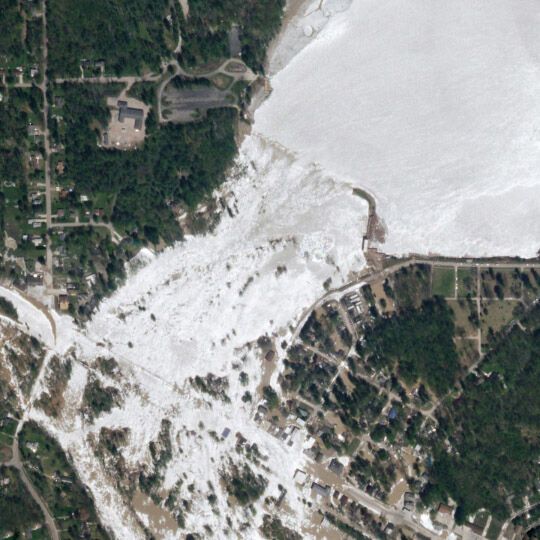
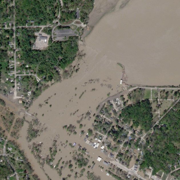
Emergency Response
Accessible, frequent, and high-resolution imaging helps anticipate, assess, and mitigate disasters.
- Anticipate changes in landscape, identify potential dangers, and stem problems
- Understand the scope of disaster at speed with before and after imagery
- Inform the most effective and rapid mode of response
Planet worked with the Moore Foundation, the Moraga-Orinda Fire District, and UC Berkeley to build an automated system that informs decision-making for first responders.
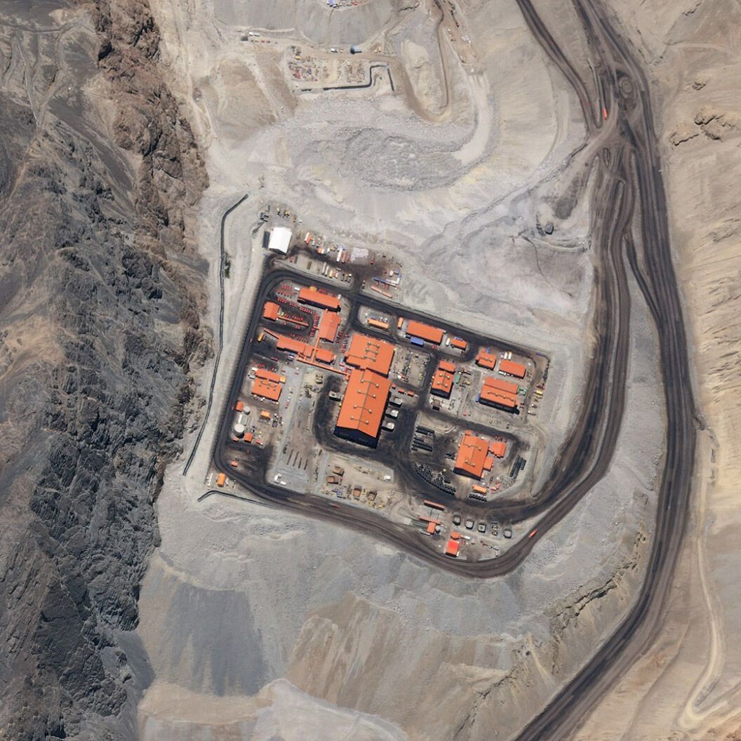
Learn MoreEnergy and Infrastructure
Fast, reliable, high-resolution data help monitor infrastructure development and growth across regions.
- Monitor important assets and reclamation projects
- Manage and preempt risks to your business
- Evaluate competitor activity, production methods, and equipment
- Mitigate and prevent crisis
Planet partner, SynMax, monitors activity at every major oil and gas practice in the U.S. in near-real-time, to provide transparency to stakeholders across the energy market.
Learn More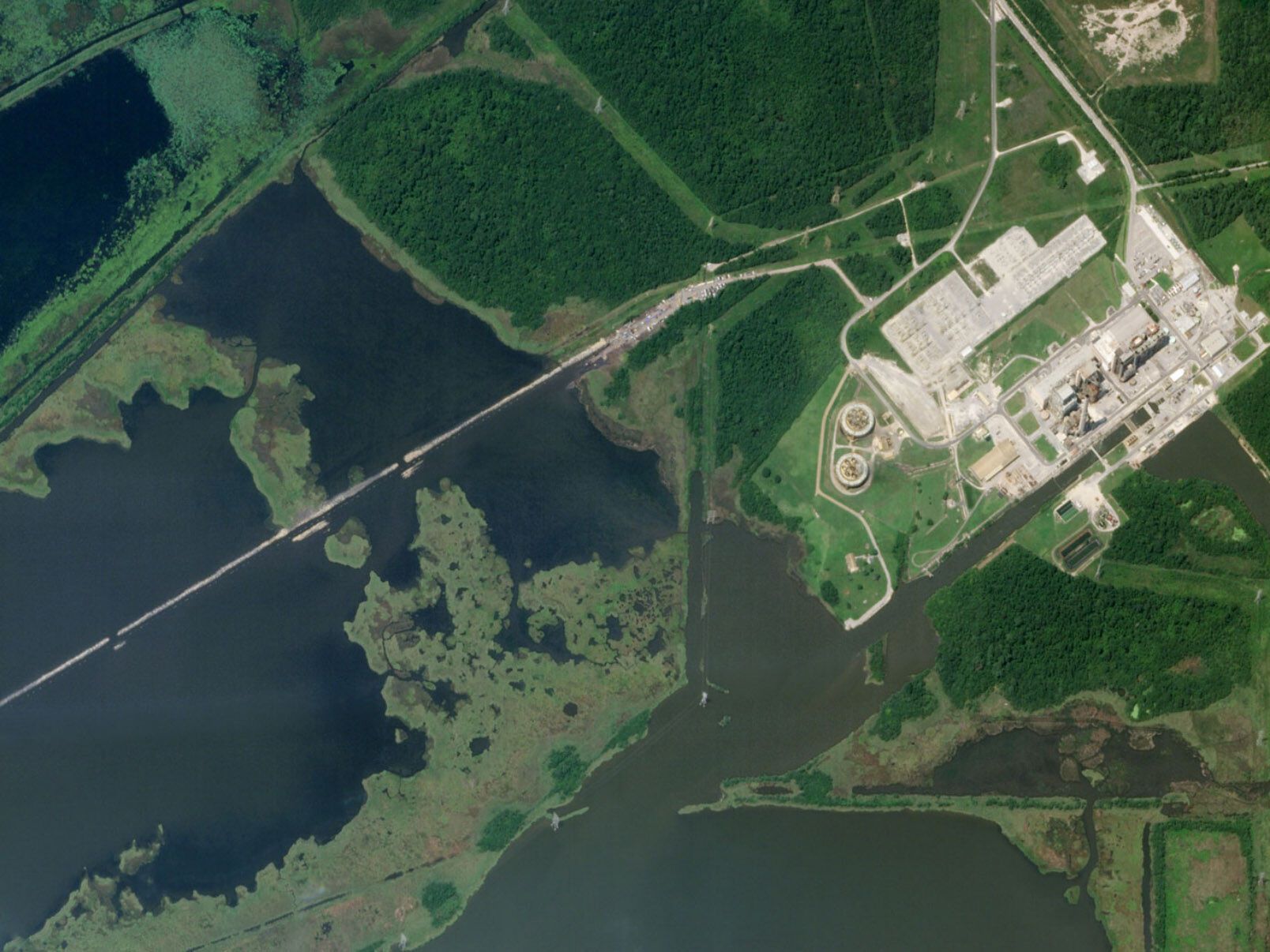
Collection Types
Data for Every Need
Video
Pan video up to 120 seconds
Stereo Collection
3D models and DEM construction for volumetric analysis
Standard Collect
Point and strip up to 500 sq km
Global Perspective, High-Precision Insights
Imagery and Insights, Delivered Where You Want to Work
Planet Basemaps
Current, complete, analysis-ready mosaics
Planet Monitoring
High-frequency, global coverage
Planet Archive
A constantly refreshed global dataset
Read More
With Planet Tasking, Organizations and Governments Are Seeing the World Differently
FAQs
Further Information About Planet’s Advanced Satellite Tasking System
Discover How Planet Tasking Can Deliver Reliable, High-Resolution Imagery Into Your Workflow
Explore our self-service options or schedule a demo to see how Planet Tasking can provide actionable insights for your biggest challenges.
© 2025 Planet Labs PBC. All rights reserved.
| Privacy Policy | California Privacy Notice |California Do Not Sell
Your Privacy Choices | Cookie Notice | Terms of Use | Sitemap
