Search
Planet Science Programs
Planet has multiple data access pathways for researchers and students to utilize our high spatial and temporal resolution imagery for high impact science.
Get Access. Make Discoveries.
Powering the Global Research Community to Analyze Our Changing Earth
100+
Countries represented
20,000+
Registered users across all programs
2,000+
Scientific publications generated
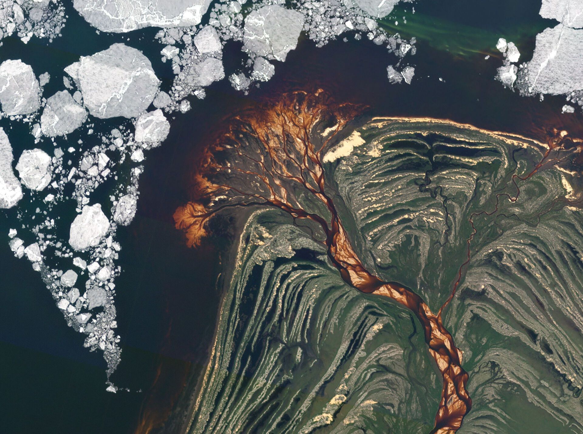
The global science community is using Planet data for a variety of applications, including:
Planet Science Programs
Start Your Journey of Exploration with Planet Data Through One or More of the Programs Below
Through Planet’s Science Programs, researchers and educators around the world can access our imagery for a wide range of non-commercial applications.

Education and Research Program
Through our Education and Research (E&R) Program, Planet provides university access to PlanetScope and RapidEye imagery for non-commercial research use by application. The E&R Program hosts more than 10,000 users across 100+ countries and more than 1,000 universities.

NASA Commercial SmallSat Data Acquisition (CSDA) Program
Through CSDA, any federally-funded research qualifies for free access to Planet’s vast archive of PlanetScope and RapidEye imagery for scientific use cases.

European Space Agency EarthNet Programme
Any researcher from an ESA member state or China, including non-profit researchers and those at government institutions, may apply for access to PlanetScope, RapidEye, and SkySat imagery through the ESA EarthNet portal.

Networks of Resources Program
ESA provides sponsored accounts and commercial data packages available for pre-commercial exploitation, research and educational purposes. To apply for sponsorship go to NoR Portfolio and follow the steps described at the following link.

RapidEye Science Archive (RESA)
Any German researcher, including non-profit researchers and those at government institutions, may apply for access to PlanetScope, RapidEye, and SkySat imagery through the RESA program.
Tropical Forest Observatory
Tropical Forest Observatory from Planet provides high-resolution satellite imagery to help monitor tropical forests, reduce emissions, and prevent deforestation and forest degradation. Tropical Forest Observatory delivers normalized and visual imagery monthly with a biannual archive.
Don’t see what you need listed here?
Contact our Sales Team for additional assistance.
Stay Informed
Sign up for Planet Science Updates
Our monthly Science Update includes information on the latest news coming out of the research community through our Science Programs such as NASA and Education and Research, researcher training session announcements, funding opportunities, and more.
DIVE DEEPER
Learn how to harness Planet's platforms for your research
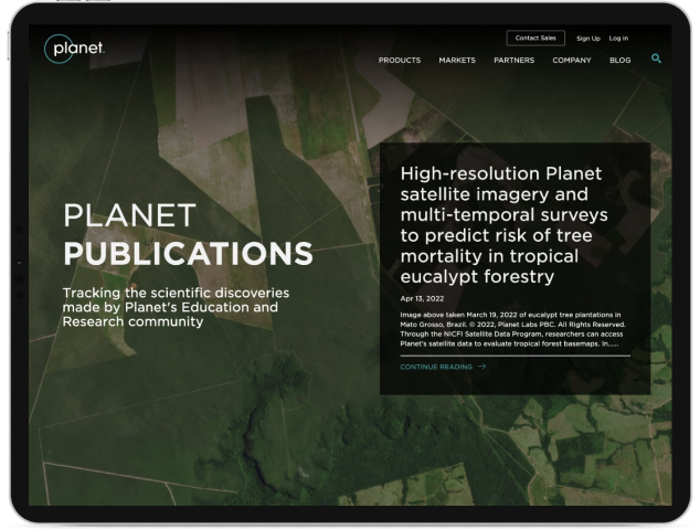
Planet Publications
Learn More About the Scientific Discoveries Made by Planet’s Science Community
Visit Planet PublicationsFAQs
Your Questions About Planet’s Science Programs Answered
Education and Research Program
ESA EarthNet
NASA
RESA (DLR)
General
Learn More About Planet’s Science Programs
To find out more visit Planet’s Science Support Center or email us at science@planet.com.
© 2025 Planet Labs PBC. All rights reserved.
| Privacy Policy | California Privacy Notice |California Do Not Sell
Your Privacy Choices | Cookie Notice | Terms of Use | Sitemap
