Chin Lakes, Alberta Jun 06, 2015
Why Satellite Data Is Asia-Pacific’s Greatest Ally in 2025
Planet is turning 15 in the year 2025, and as a leading provider of satellite imagery and data analysis, one thing has remained constant for us: change. Over the years, we have witnessed rapid changes through the lens of our…...
Continue Reading
PLANET PULSE
Monitoring the pulse of our planet with daily news and imagery, stories, and tech updates.
Stories
AI-enabled Insights from Publications Leveraging Planet Data
Planet AI Symposium Curious to learn more on how the combination of AI and Planet's satellite data is helping to build a more sustainable and resilient world? Join us on, Thursday, January 30th for the Planet AI Symposium where industry…
CONTINUE READINGNews
Industry Leaders Join Planet AI Symposium: A Virtual Event Exploring the Future of “Geospatial Artificial Intelligence”
Today, we are proud to launch the Planet AI Symposium, a virtual event where leading experts join Planet to discuss the future of artificial intelligence. This event explores how the intersection of AI and Earth observation data could help build…
CONTINUE READINGTechnology
How Planet's Distinctive Approach to Global Monitoring Sets a New Standard for Defense Analysts
Learn how broad area management with Planet helps defense analysts continually monitor change across every region of interest. Global military spending swelled to $2.24 trillion in 2023, according to analysis by the Stockholm International Peace Research Institute (SIPRI). “The unprecedented…
CONTINUE READINGDiscover how daily imagery brings insights for meaningful change
GO TO PLANET INSIGHTS
insights
Understanding California’s Most Destructive Wildfires
A state of emergency for Napa, Sonoma and Yuba counties has been declared as more than a dozen wildfires rage across Northern California. This interactive map is a tool to identify and understand the extent of damage caused by this disaster.
CONTINUE READING
news
Planet and Farmers Edge Redefine Precision Ag with Landmark Agriculture Deal
For years, Farmers Edge has been a valued customer and partner, distributing RapidEye and PlanetScope imagery through their precision ag software suite. Today, we’re proud to announce that we’ve strengthened our ties to Farmers Edge, entering into a strategic distribution deal with the leading agricultural insights provider. Planet and Farmers Edge, […]
CONTINUE READING
news
Northern California Wildfire Satellite Data Available For Access
A state of emergency for Napa, Sonoma, Mendocino, Lake, Butte and Yuba counties has been declared as more than a dozen wildfires rage across Northern California. In response, we are making our satellite data available to everyone that needs it. High resolution SkySat imagery shows wildfires sweeping through the hills northeast of […]
CONTINUE READING
tech
Q&A with Amy Truong—Engineering Leader
If you’re attending the Grace Hopper Conference this year, don’t miss two talks from Amy Truong, Planet’s Director of Software Engineering. Our software team has been one of the fastest growing teams at Planet this year; and Amy has overseen its transition from startup-sized developer squad to growth-stage engineering organization. At Planet, […]
CONTINUE READING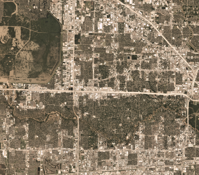
stories
Slingshot Aerospace Maps Flooded Areas following Hurricane Harvey
When Hurricane Harvey made landfall in Houston earlier this month, Slingshot Aerospace, a Planet Application Developer Program partner, leapt into action. Working with Team Rubicon and the BAE Systems Geospatial eXploitation Products™ (GXP®), Slingshot was able to use its flood detection algorithms on up-to-date satellite imagery to determine the extent of the […]
CONTINUE READING